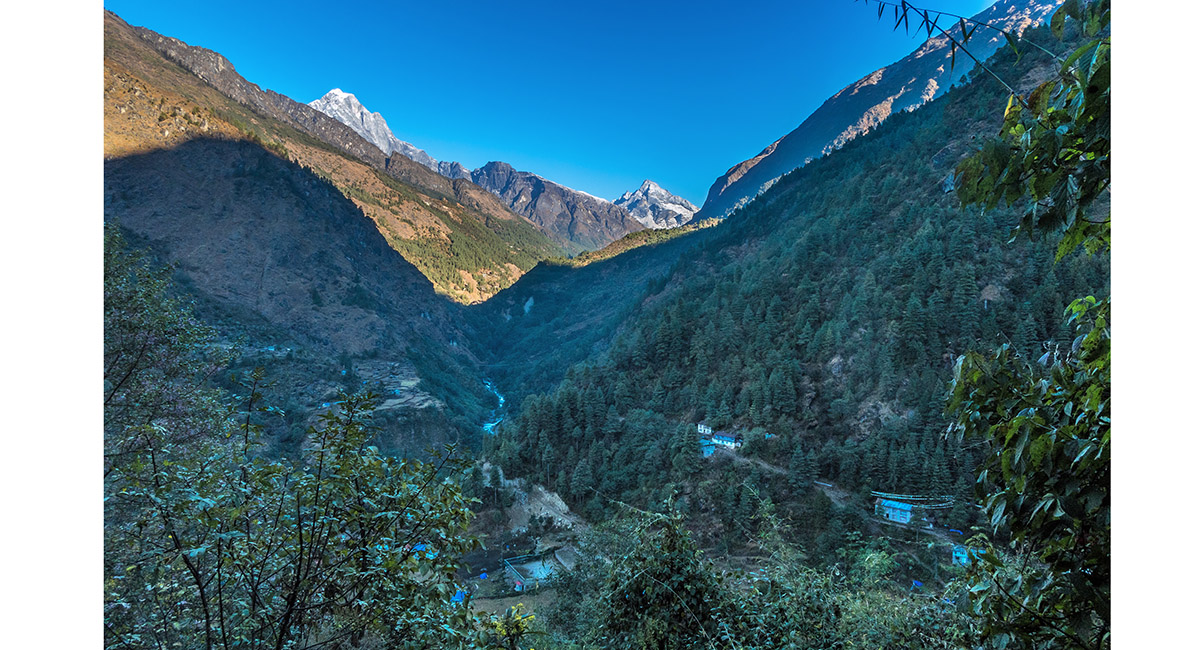
A view back north to Surke, with Khumbi Yul Lha distant centre


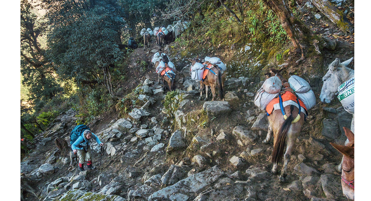
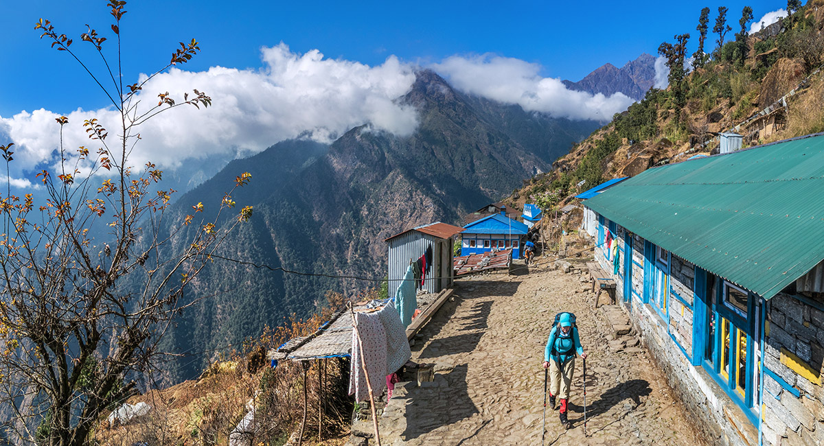
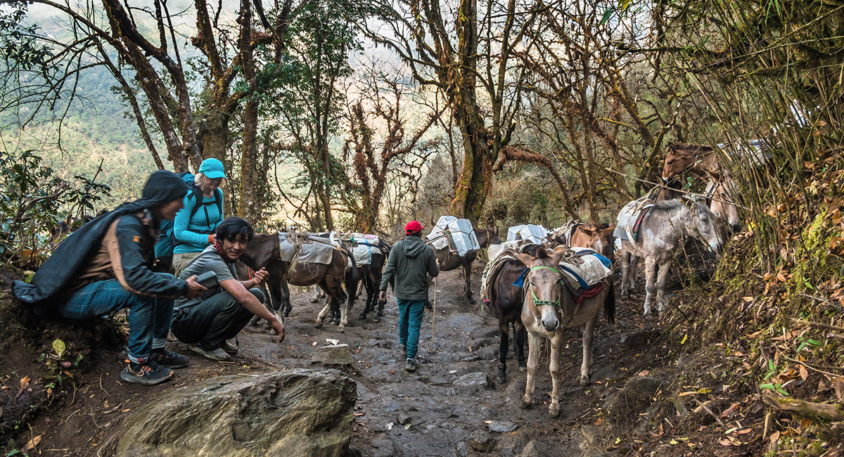
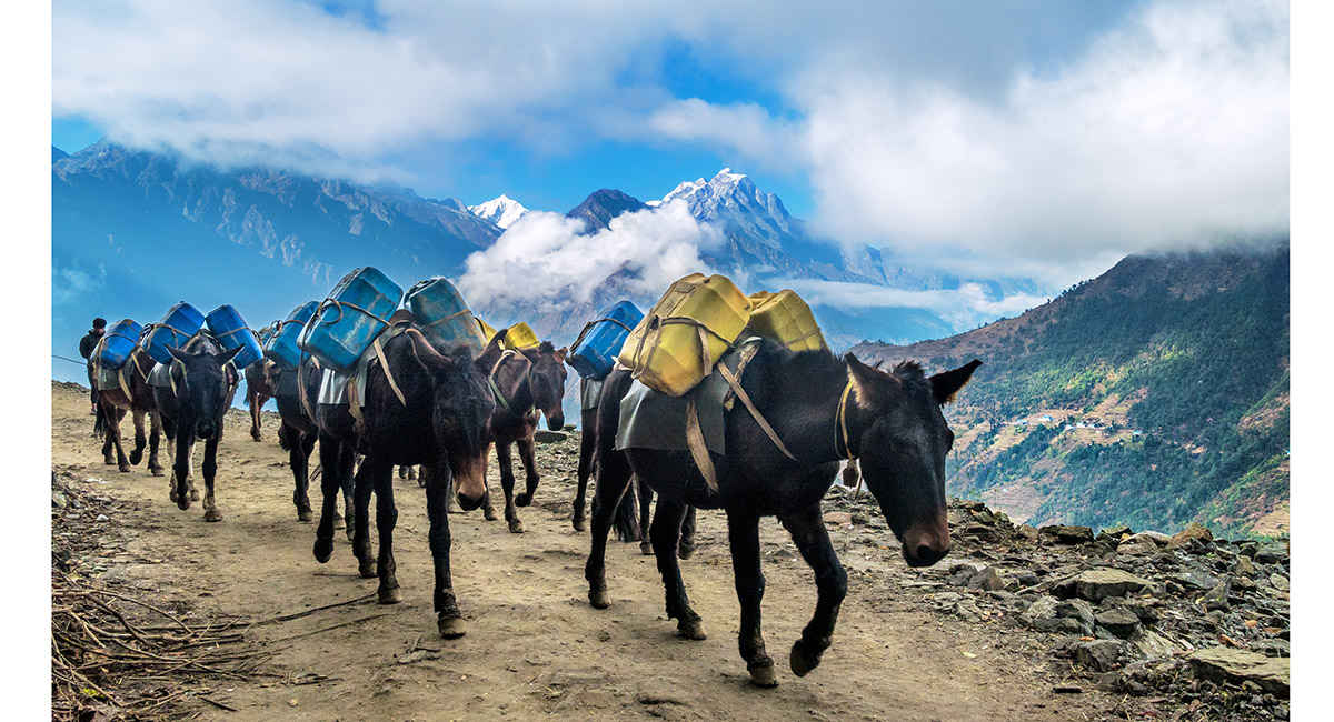
Steep stone stairways and donkeys. When groups met coming both ways this caused time consuming donkey-jams


At Pakhepani, about 2,800m, on the trail to Bupsa, looking back to Lukla on the right


At Paiya La (2,805m)


The view south from Paiya La


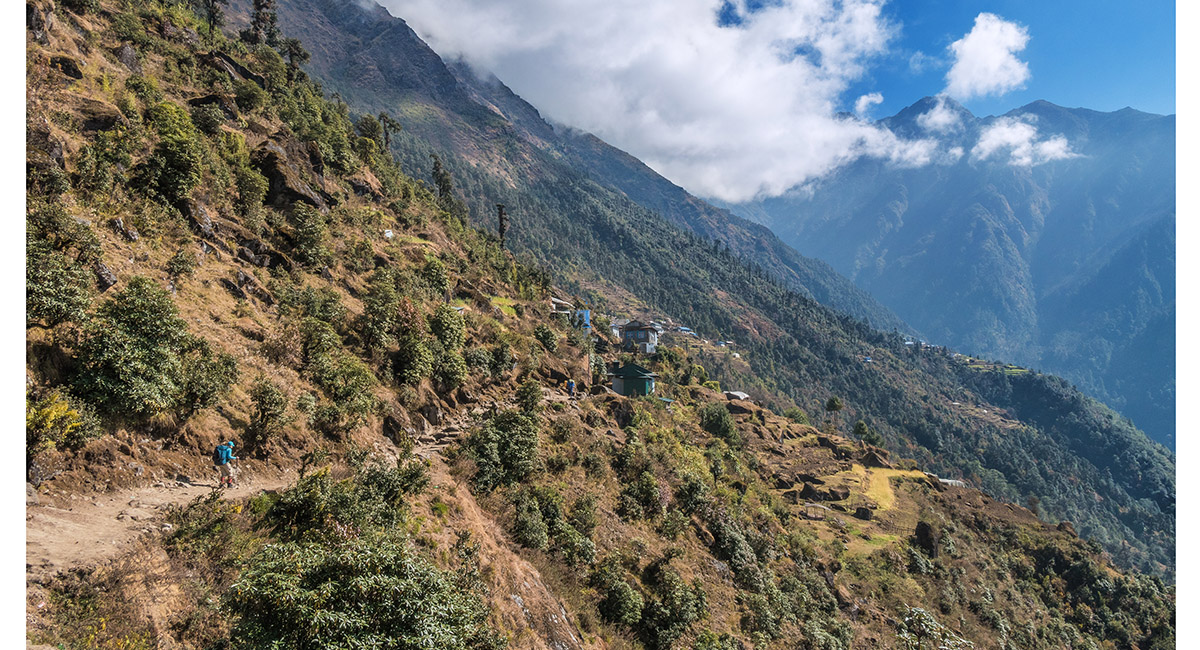
Swinging east into the Khari Khola valley, with Khari Village ahead


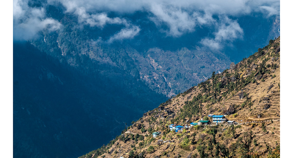
Khari Village


A view back to Khari Village


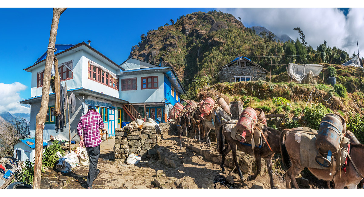
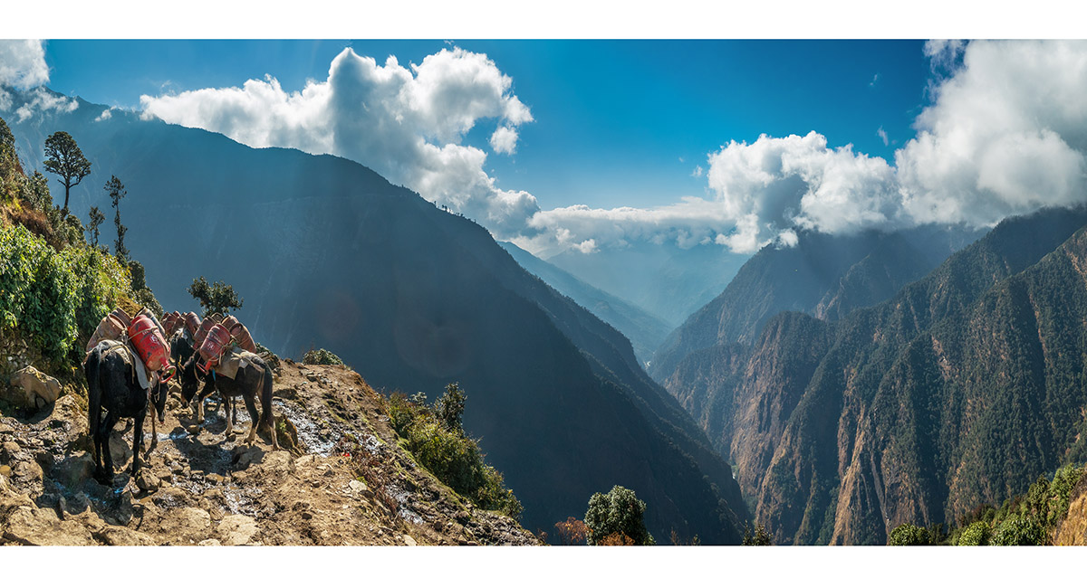
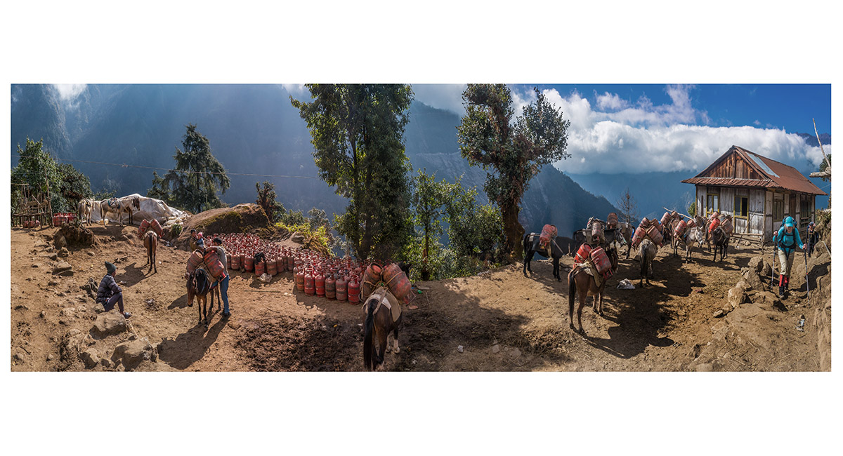
A gas bottle depot, near Kharte


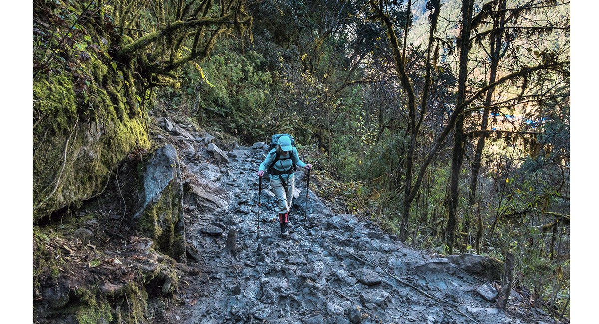
Climbing the slippery, donkey-shit-covered stone trail beyond Kharte


A donkey jam at about 2,900m. This happened quite frequently when donkey-trains came from each direction. During our walk south from Surke to the road-end we met over 40 donkey trains coming north


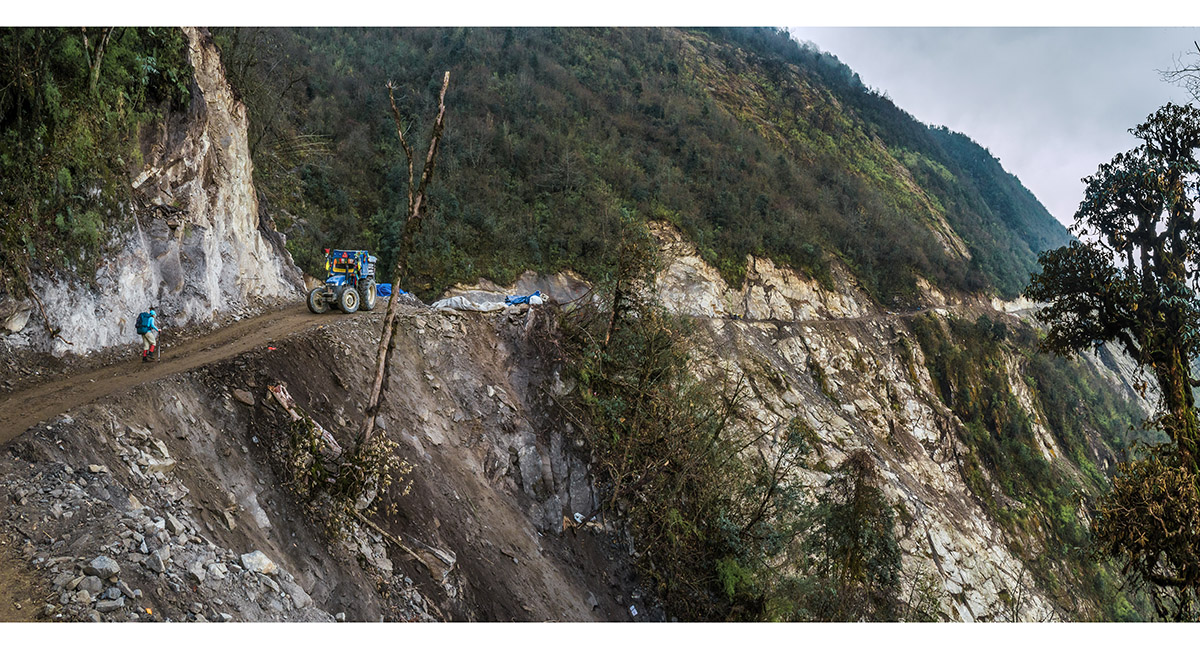
On the south side of the Khari Khola valley, at the point where the foot trail meets the advancing road at about 2,900m. Khari and Kharte villages are in view across the valley, marking where the future road will pass


The road under construction


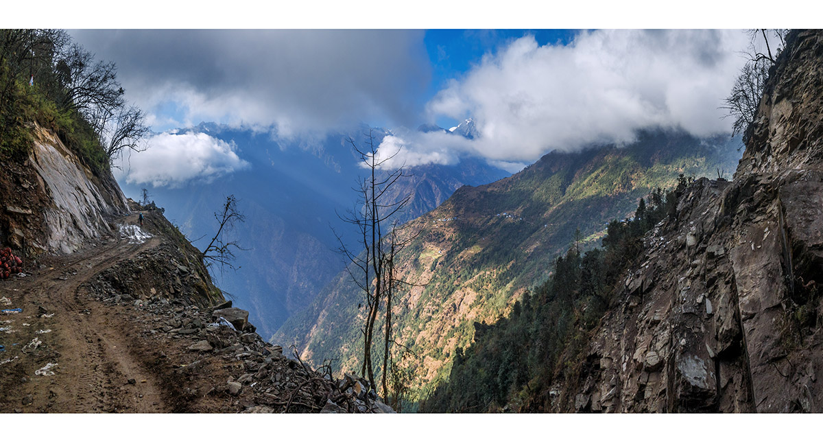
The road under construction. Here Paiya La is where the distant foot trail disappears around the crest of the ridge


Yet more donkeys headed north


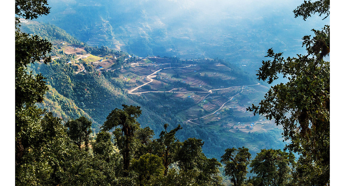
Bupsa, about 600 metres below at 2,300m


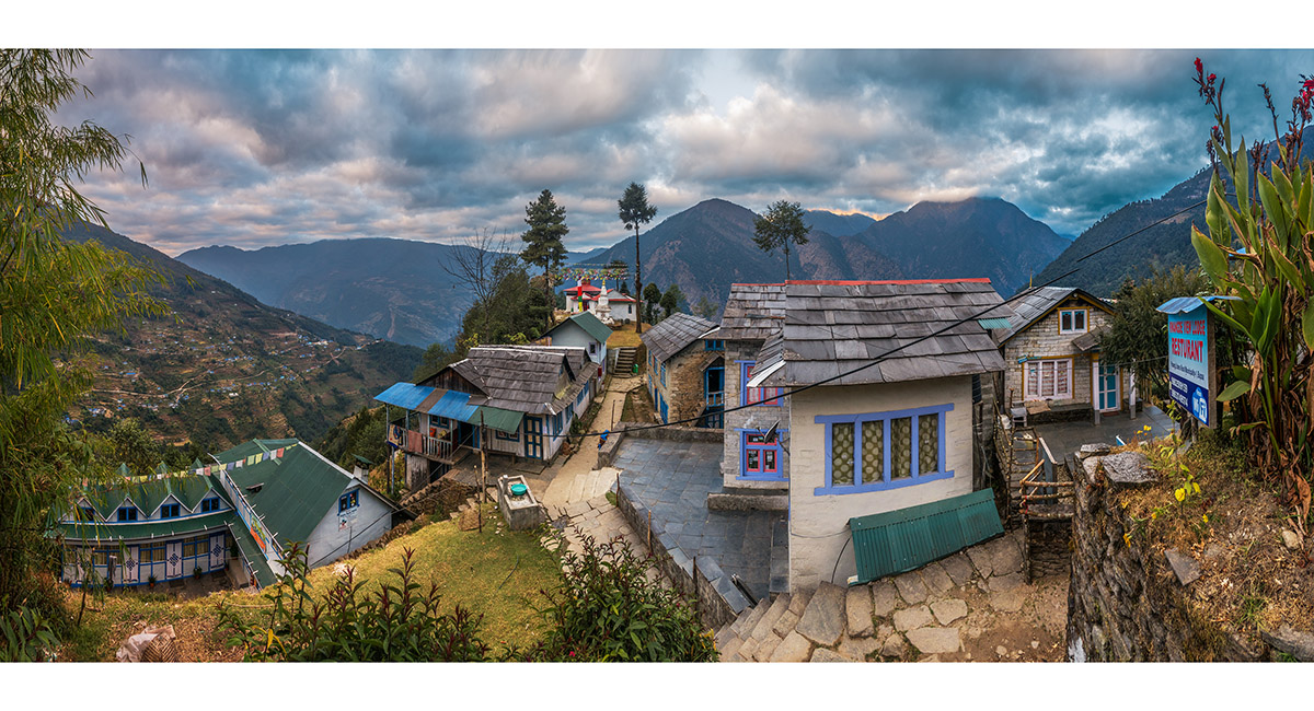
Bupsa, with its gompa centre


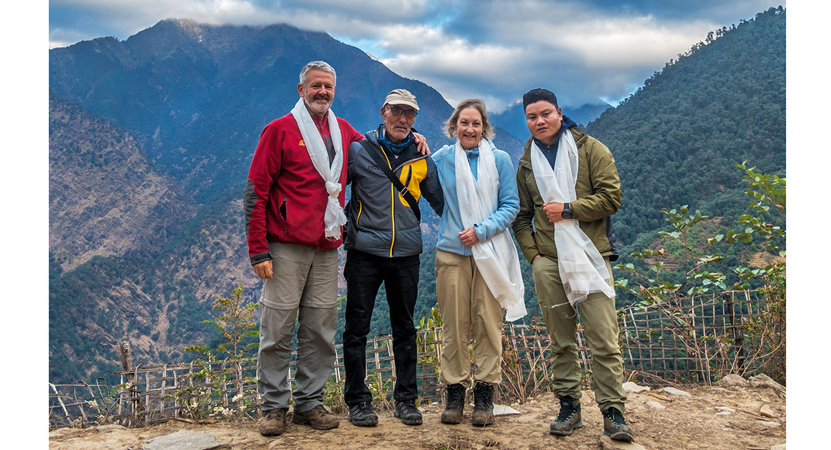
With Chhongbi's father, a long-time Bupsa farmer, and DaFuri (far right), our guide for the Bupsa to Dhap journey >
Bupsa to Junbesi
To order a print or web resolution file of any image you see in this slide show, just right click the image, click “Copy Image URL” and paste in to the “Your message” box of our Contact Us form. Please also note, for each image, if you want a print or web resolution file. We will get back to you as soon as possible to confirm price and payment details.
Open Contact Us in a new window to paste Image URL(s) easily
Image specifications, pricing and licensing agreement

