Khumbu – Thame to Kongde
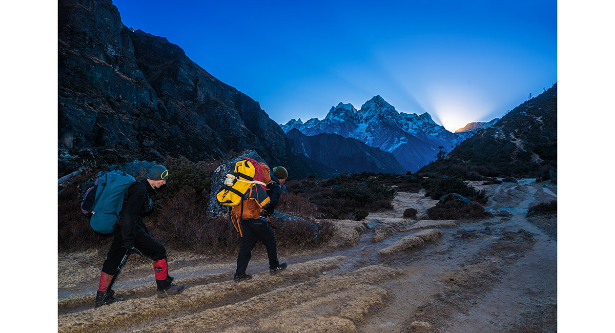
A dawn departure from Thame

Passing Samde (behind and across the Bhote Kosi) and Pare (at bottom and this side of the Bhote Kosi)

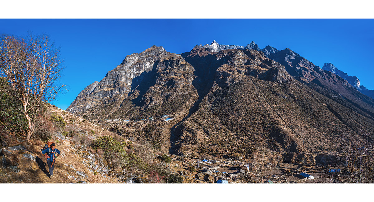
The trail traverses the flanks of the Kwangde massif, mostly contouring at about 3,600m

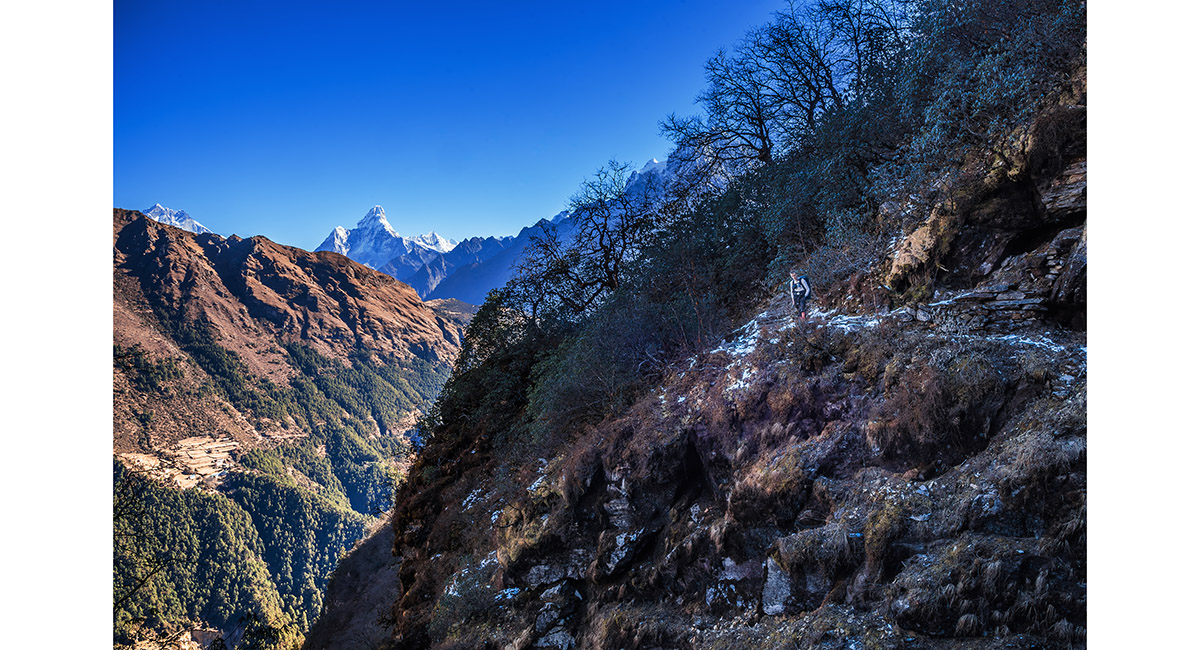
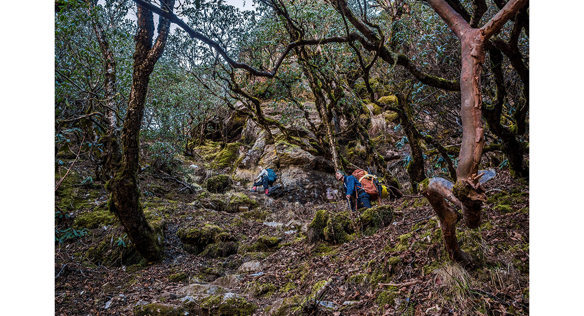
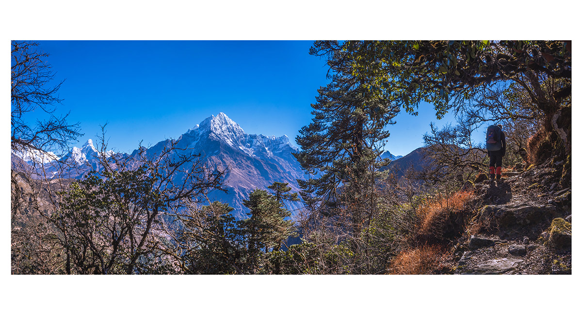
The trail leads through forest, with intermittent views across to Ama Dablam and then Namche Bazaar

At a tea stop, with Khumila, the Everest Group and Ama Dablam on the sky line

As we progressed Tamserku and Kusum Kanguru also came back in to view

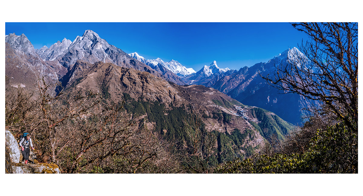
A wider and wider Khumbu aspect unfolds - now spanning Khumbila to Tamserku, with Namche Bazaar in the foreground

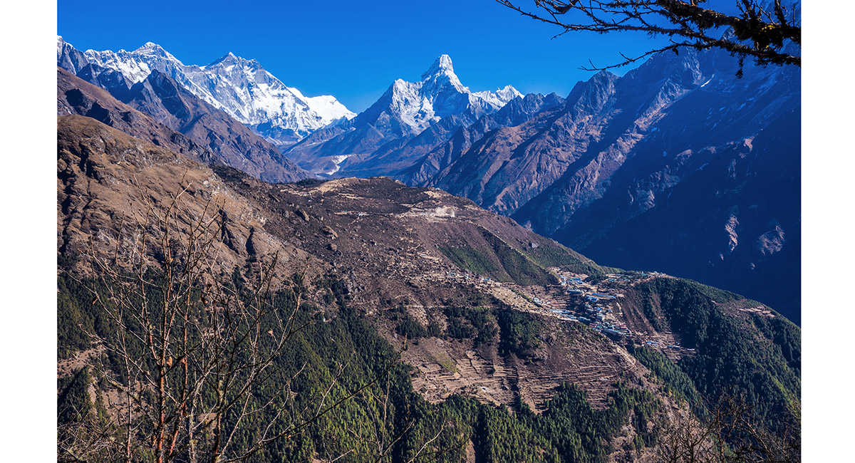
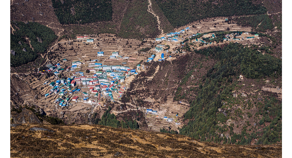
Namche Bazaar, Syangboche airstrip, the Everest Group and Ama Dablam

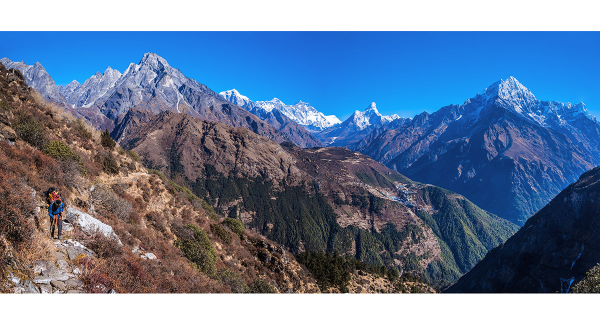
Khumbila to Kusum Kanguru, with Namche Bazaar in the foreground

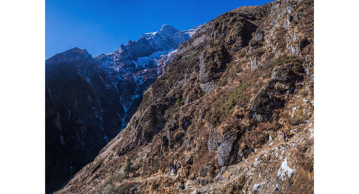
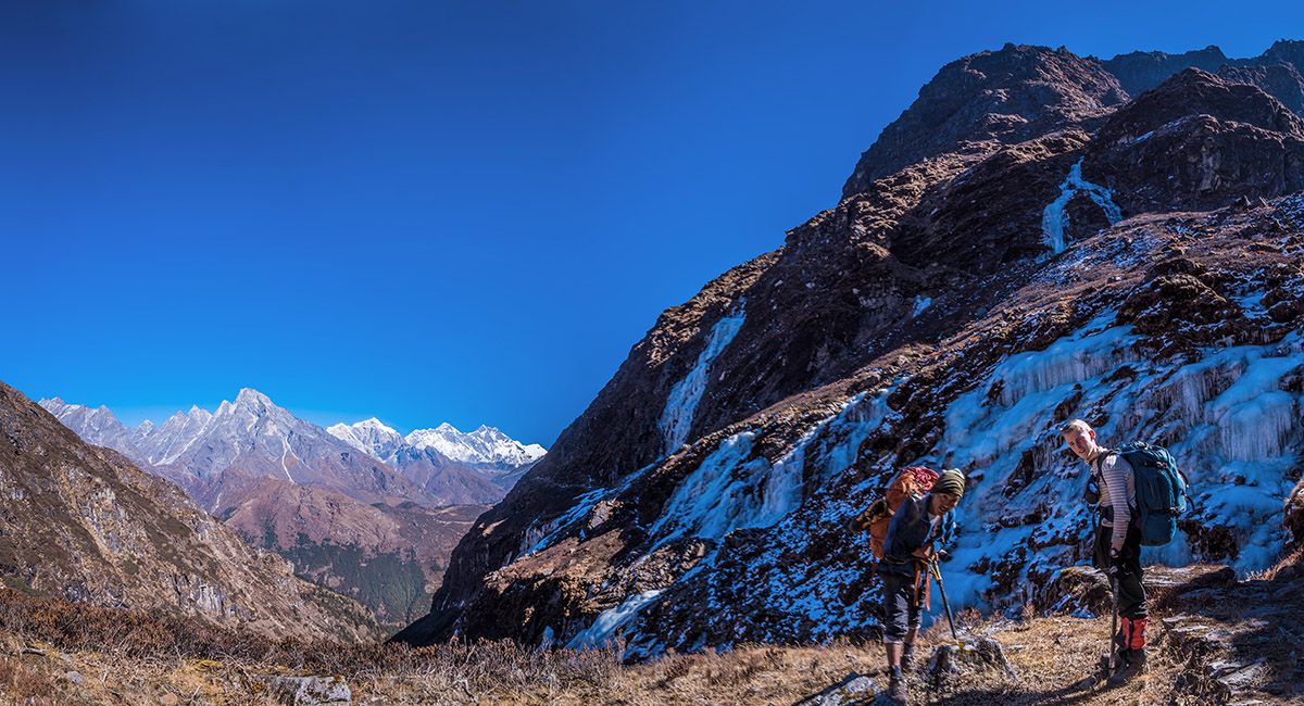
As we progressed eastward, we started to also swing south and the terrain steepened as Kwangde came into view

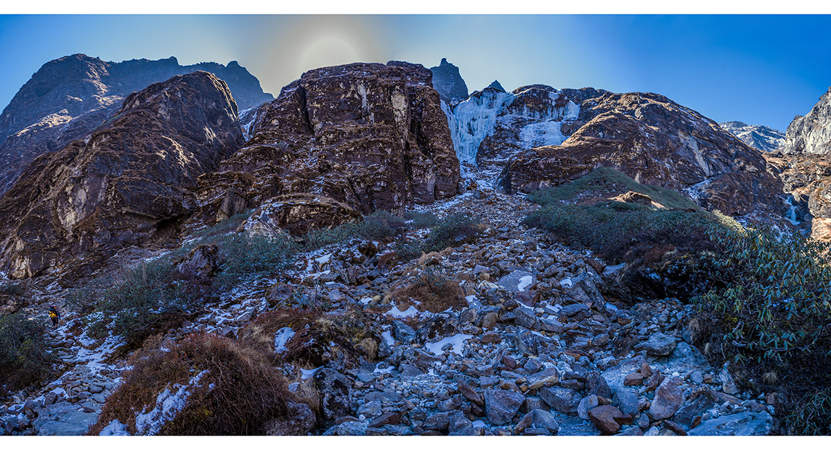
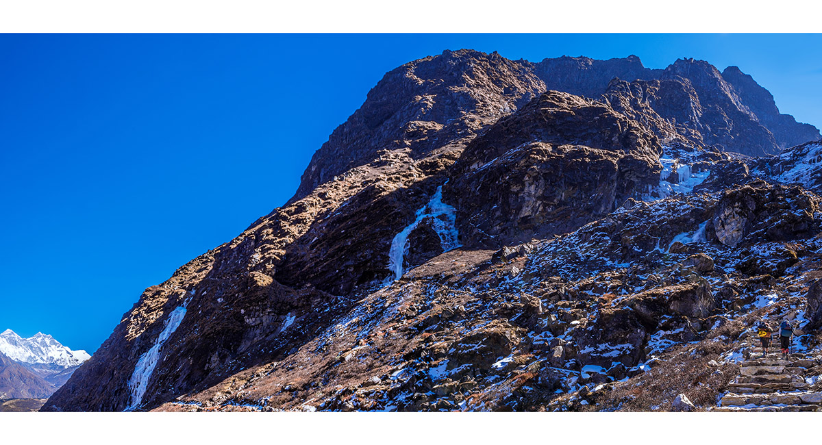
Approaching the steepest, coldest part of the route that skirts icy cliffs underneath Kwangde

Approaching the steepest, coldest part of the route that skirts icy cliffs underneath Kwangde


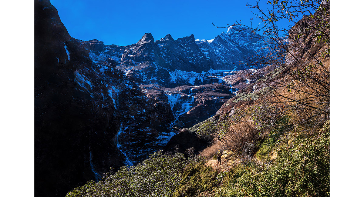
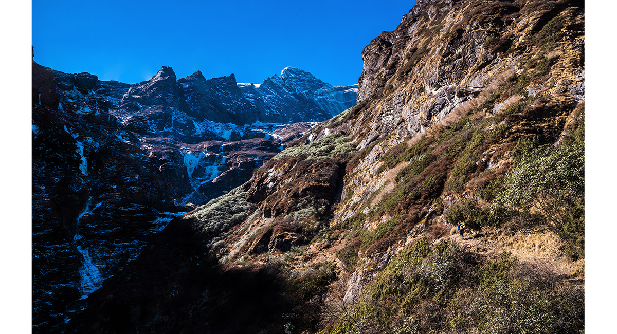
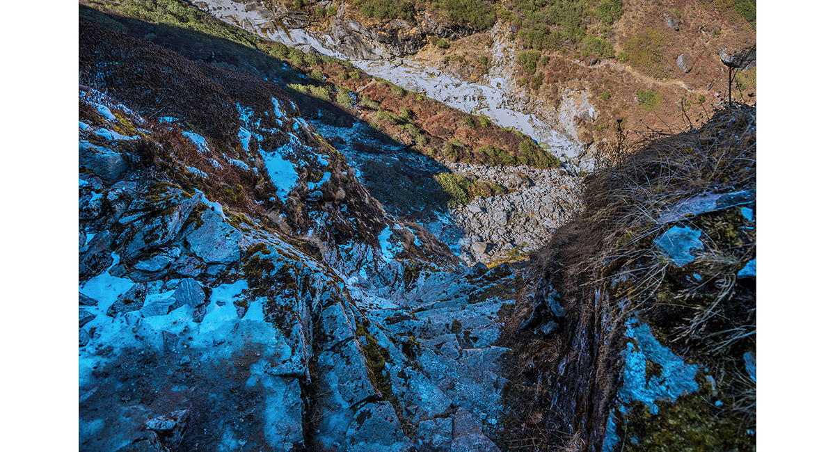
The trail crosses several frozen waterfalls, demanding extra care


The trail crosses several frozen waterfalls, demanding extra care

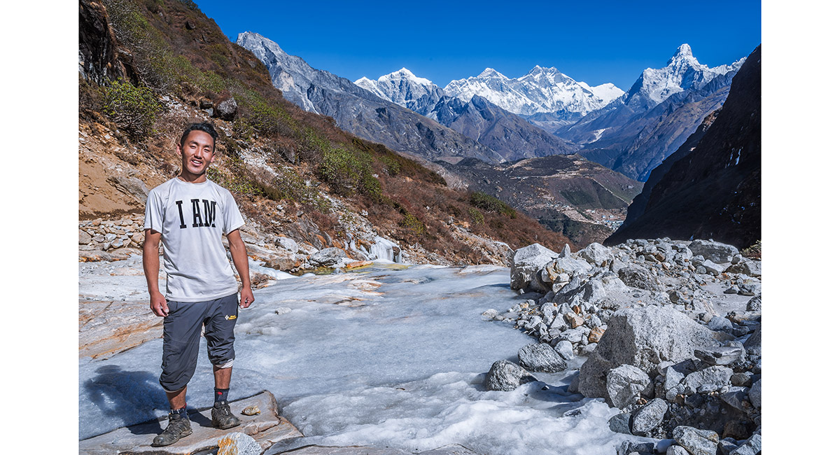
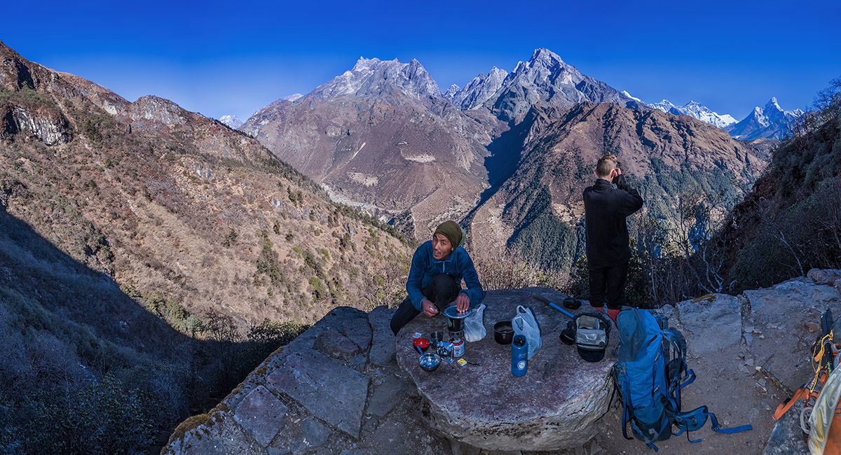
Chhongbi, our 23 year old guide for the Thame to Kongde section, enjoys a sunny spot. At this time none of us could know that he would summit Chomolungma/Everest (centre skyline) in 5 months time

Looking up to the 'business end' of the route. It goes left and then up steeply on a series of icy stone steps cut from the cliff face, protected by fixed steel cables


Climbing a stone staircase

Looking back down the stone stair case

Taking a breather before proceeding on up the icy rock route

There are two routes heading left here. The lower older one skirts the bottom of the picture. The newer one that we took climbs diagonally to the left skyline

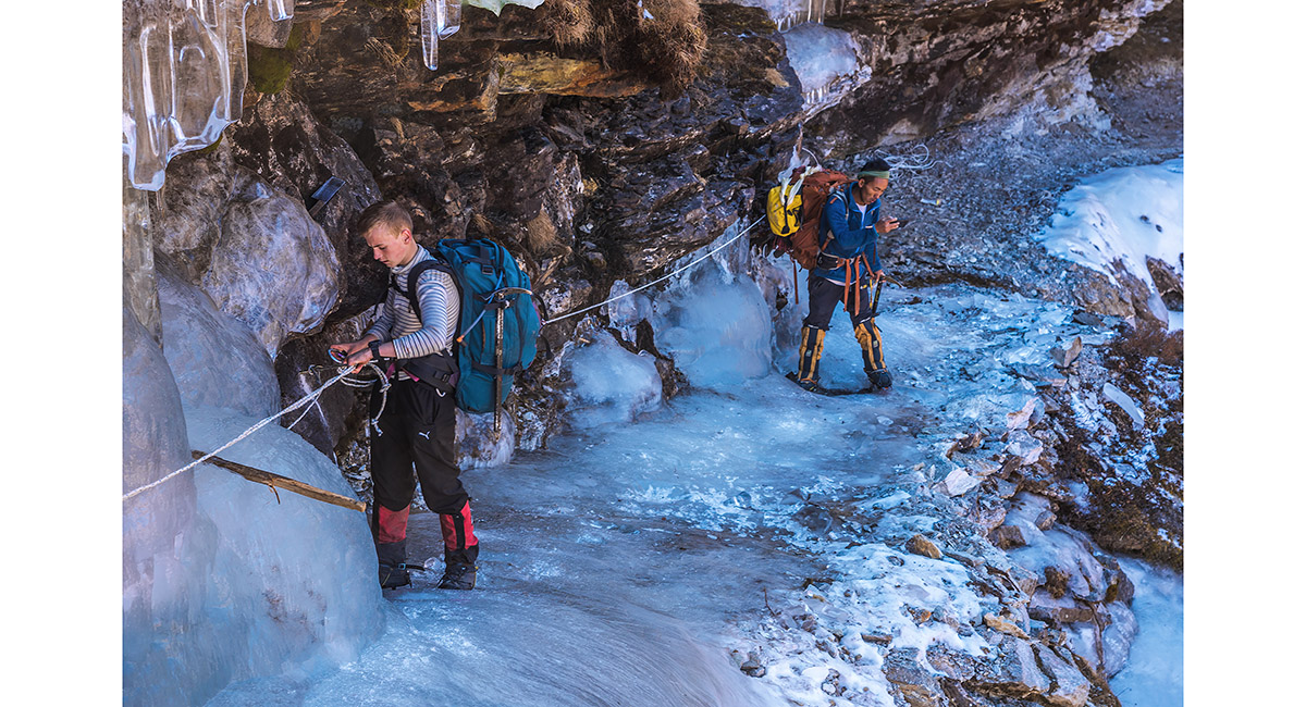
At the crux of the route - a rope protected frozen waterfall that cuts across the trail, with a yawning 200 metre drop on the right. Crampons were essential here

At the crux of the route - a rope protected frozen waterfall that cuts across the trail, with a yawning 200 metre drop on the right. Crampons were essential here

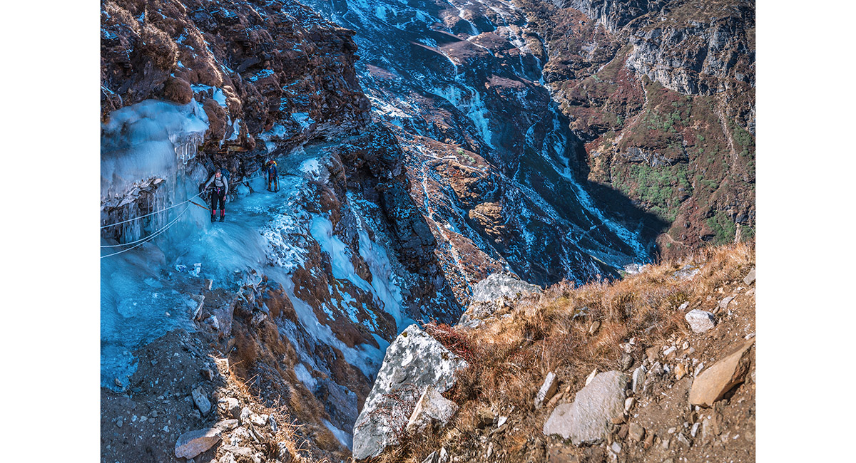
Beyond the frozen waterfall the route continued around and up, eventually leaving the cliffs behind


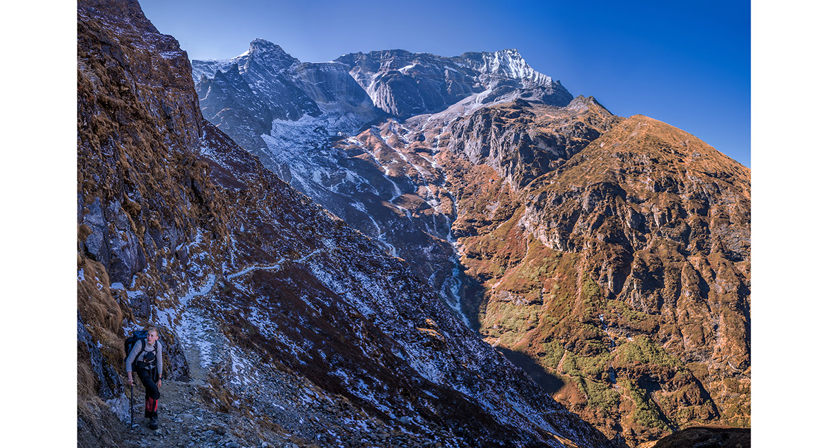
Above the cliffs is a surprisingly expansive plateau. Kongde is just beyond the bare yellowish patch beneath Kusum Kanguru, right of centre


To order a print or web resolution file of any image you see in this slide show, just right click the image, click “Copy Image URL” and paste in to the “Your message” box of our Contact Us form. Please also note, for each image, if you want a print or web resolution file. We will get back to you as soon as possible to confirm price and payment details.
Open Contact Us in a new window to paste Image URL(s) easily