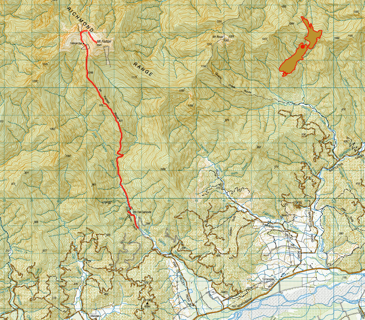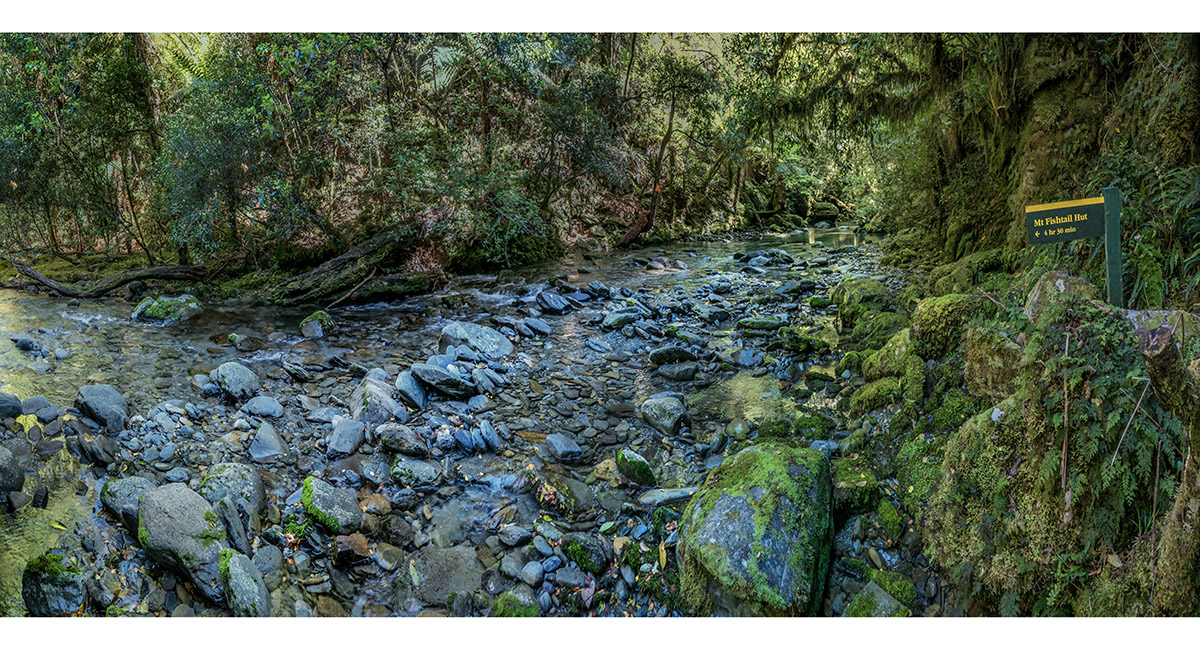
At the crossing of Pine Valley Stream (300m), at the base of the Mt Fishtail Route


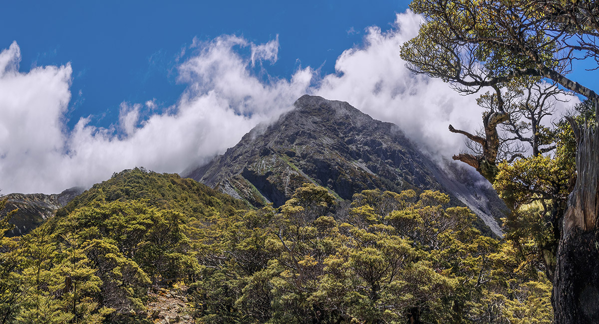
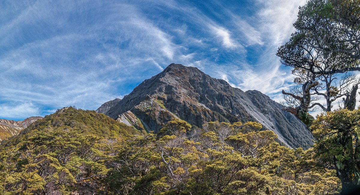
First full view of Mt Fishtail, from about 1,000 metres on the trail


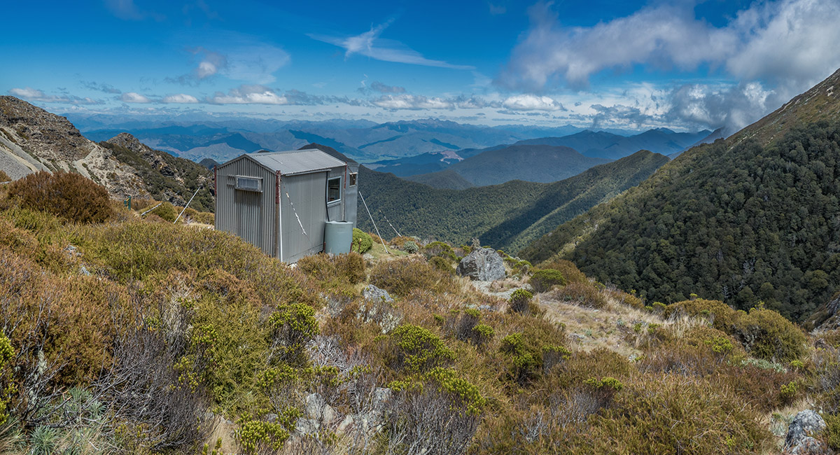
Fishtail Hut (1,350m), looking south to Wairau Valley


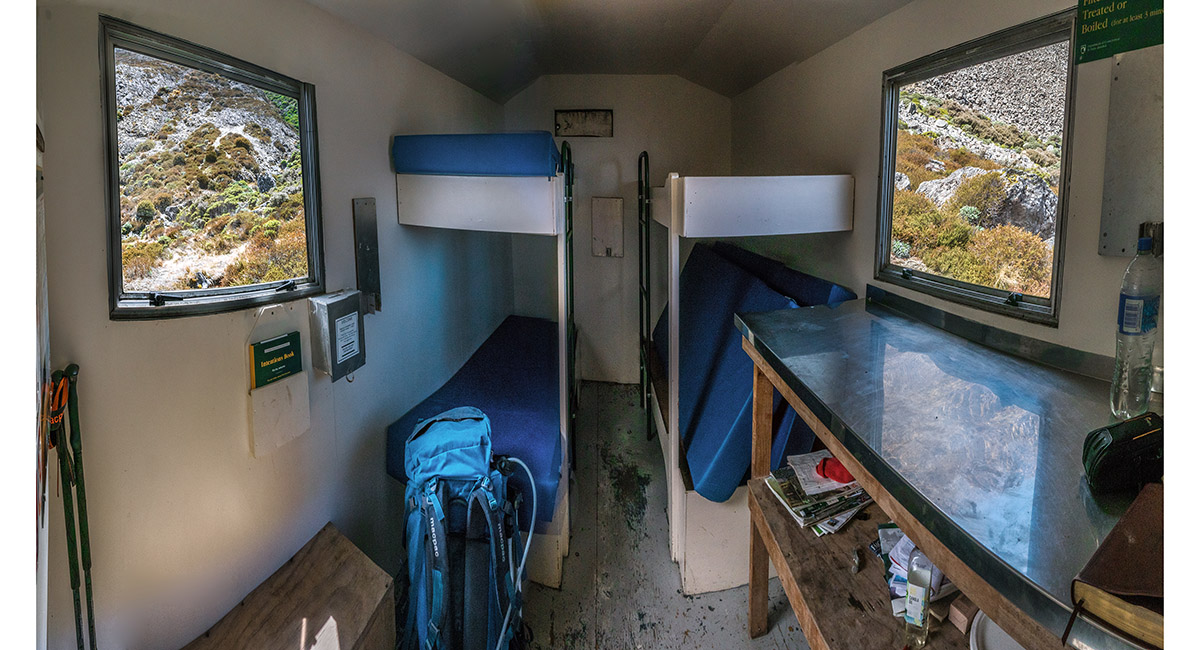
Inside Fishtail Hut


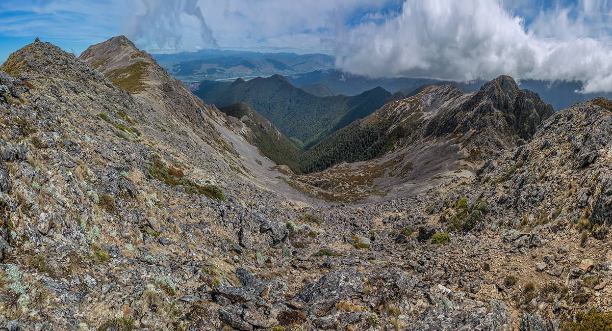
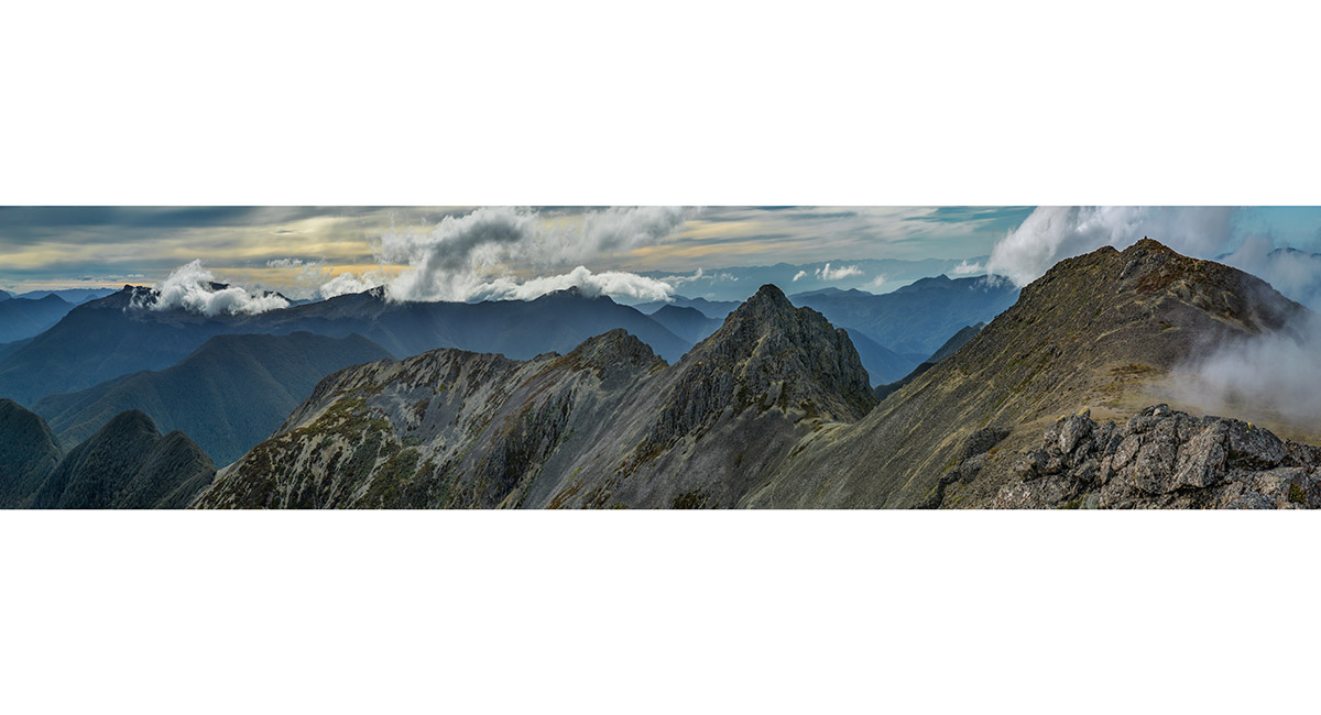
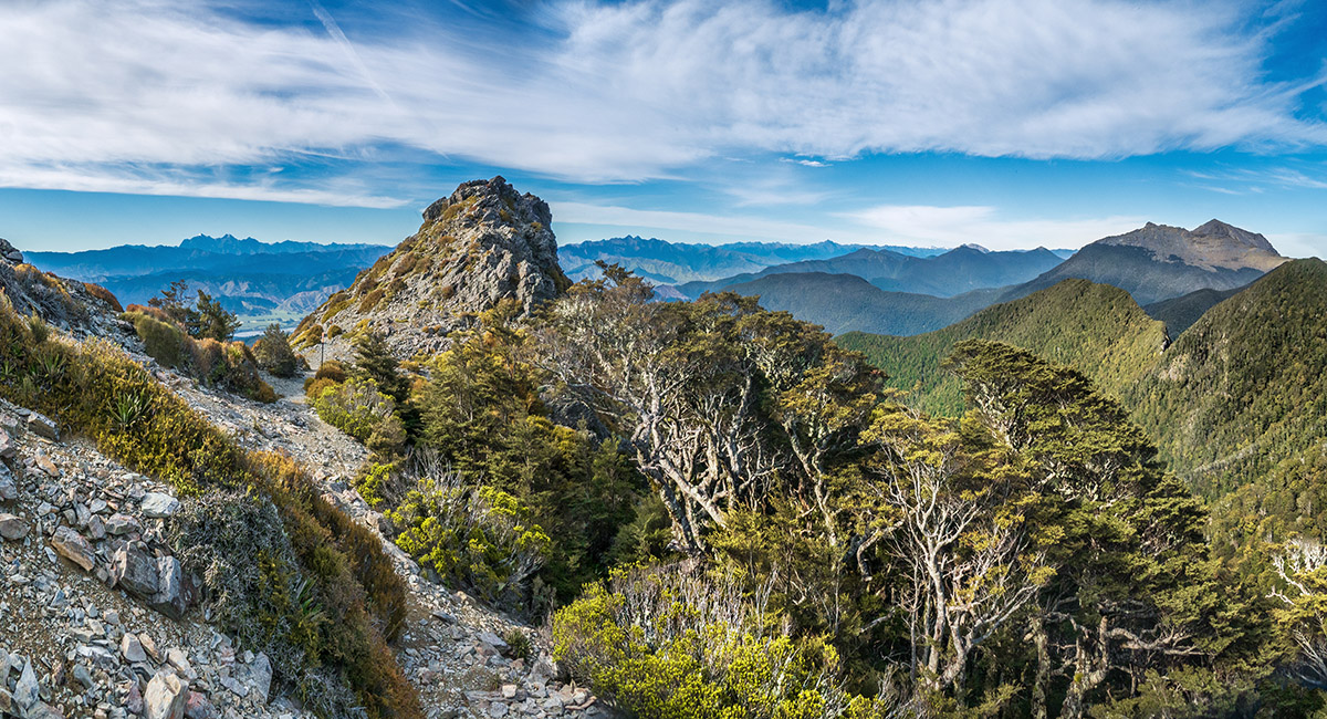
A view over the 1,600m secondary summit of Mt Fishtail to the main summit (1,641m, left)


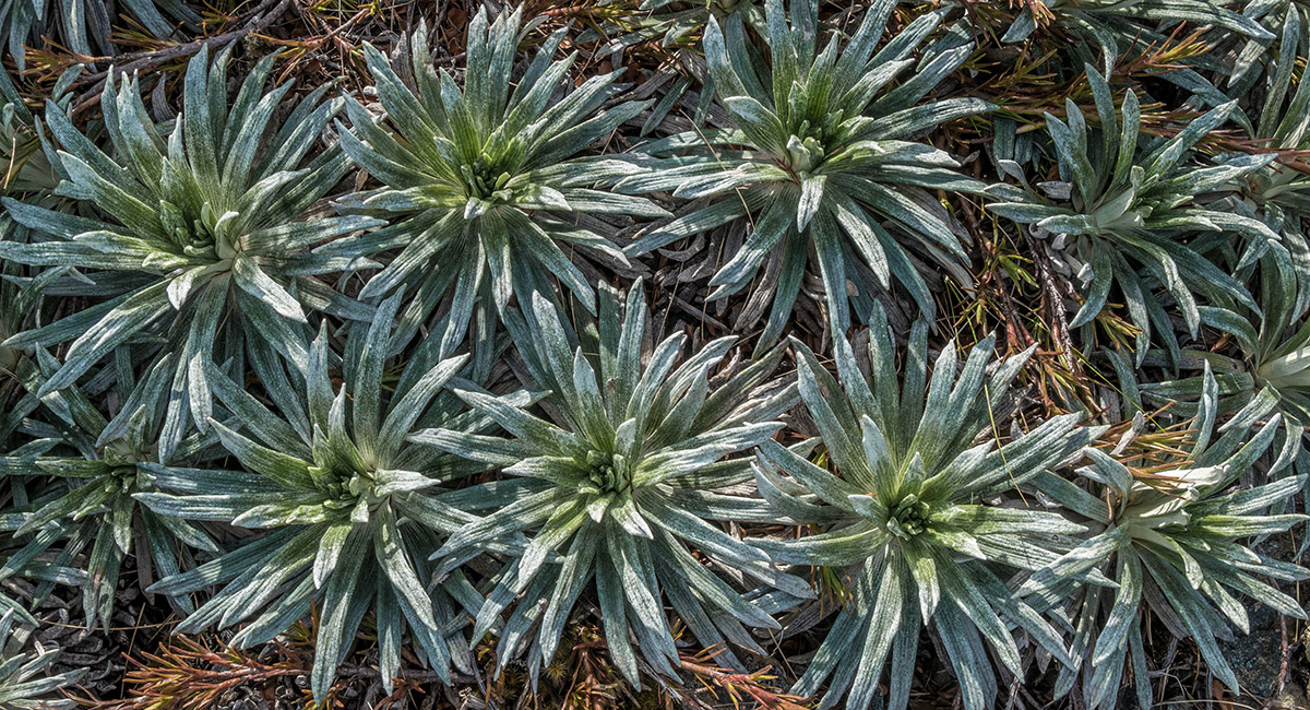
Alpine plants


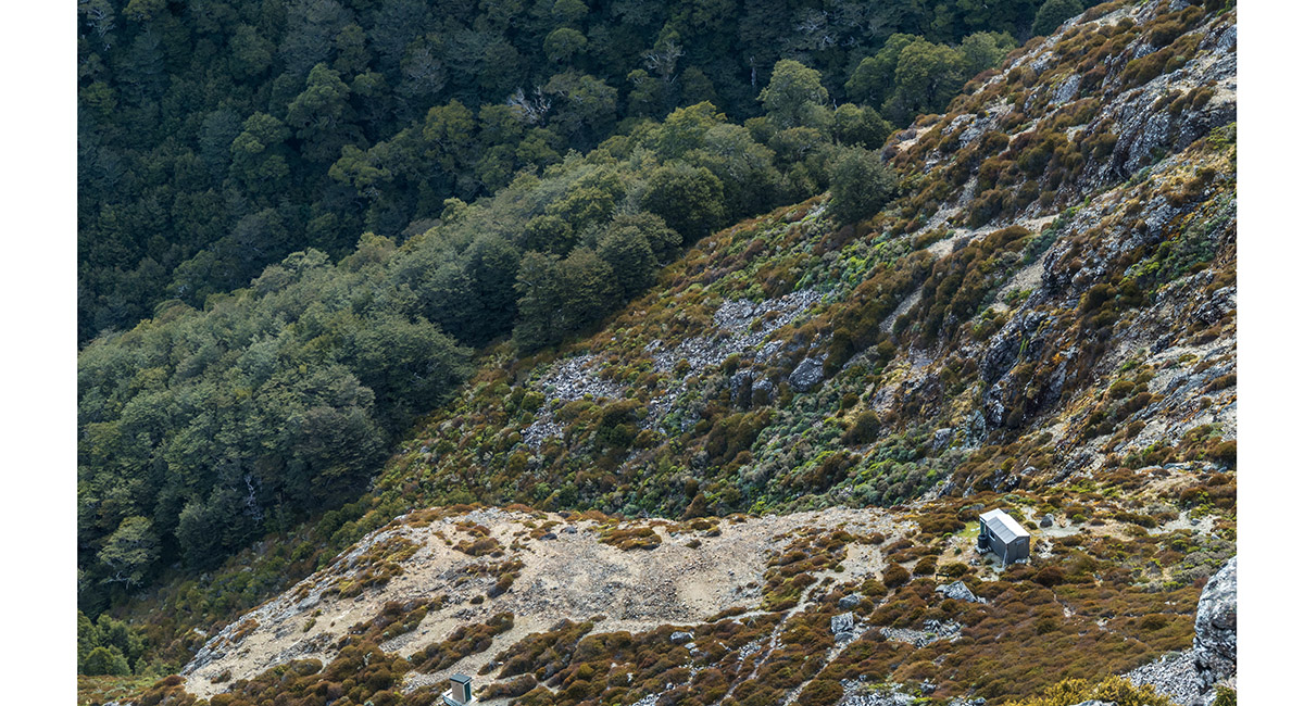
Fishtail Hut, viewed from the summit


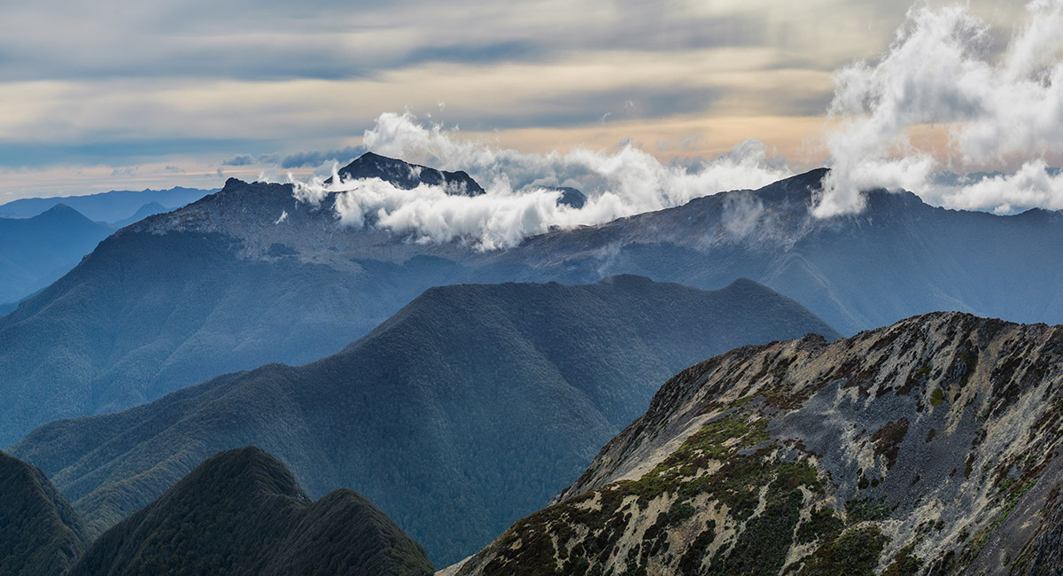
Summit view west - secondary summit right, Mt Richmond in cloud left


Summit view west to Johnston Peak, Mt Richmond (left) and Mt Fell in cloud (right)


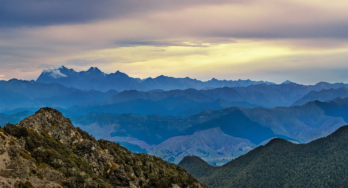
Summit view south to the inland Kaikoura mountains - Tapuae-o-Uenuku far left


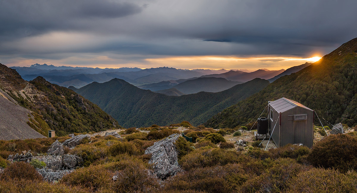
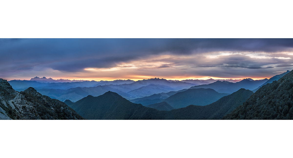
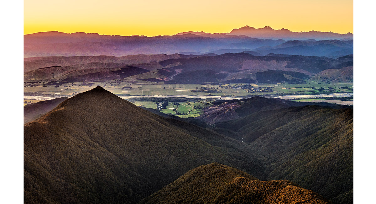
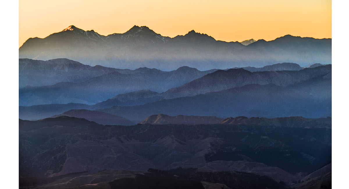
Sunset view south and west from near Fishtail Hut to the inland Kaikoura mountains (left) and the Nelson Lakes mountains (right)


Sunset view south and west from near Fishtail Hut to the inland Kaikoura mountains (left) and the Nelson Lakes mountains (right)


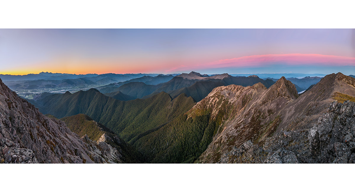
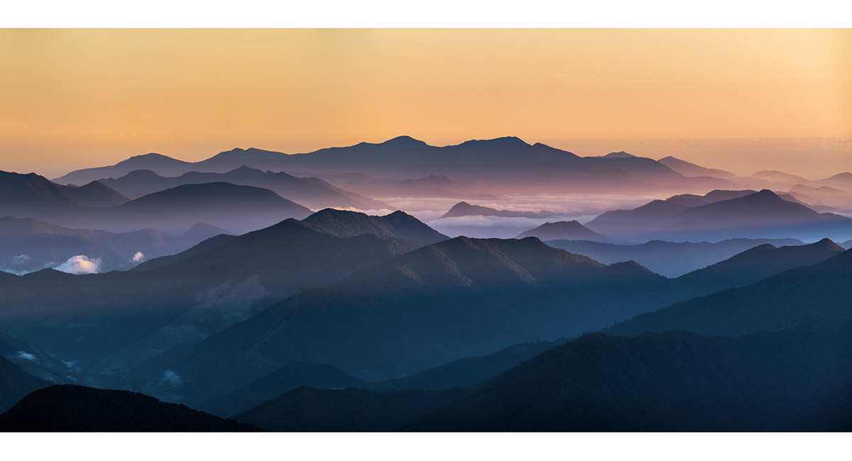
Dawn view south to the inland Kaikoura mountains (left), west to Mt Richmond (centre) and northwest to Mt Fishtail's secondary summit and distant Arthur Range (right)


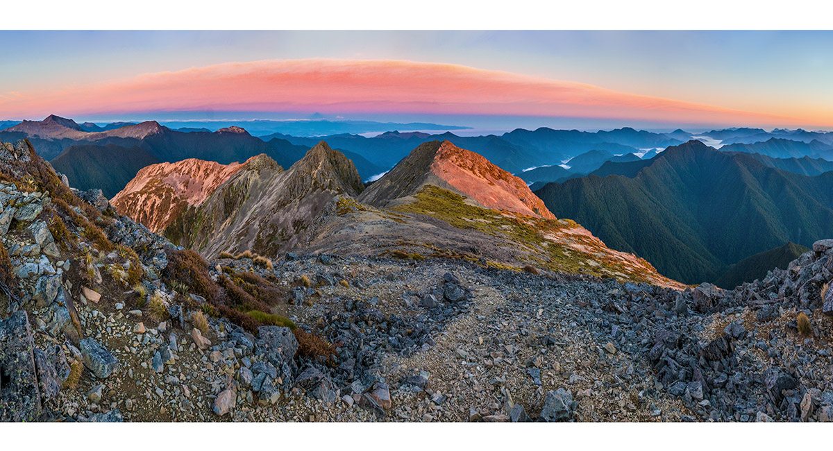
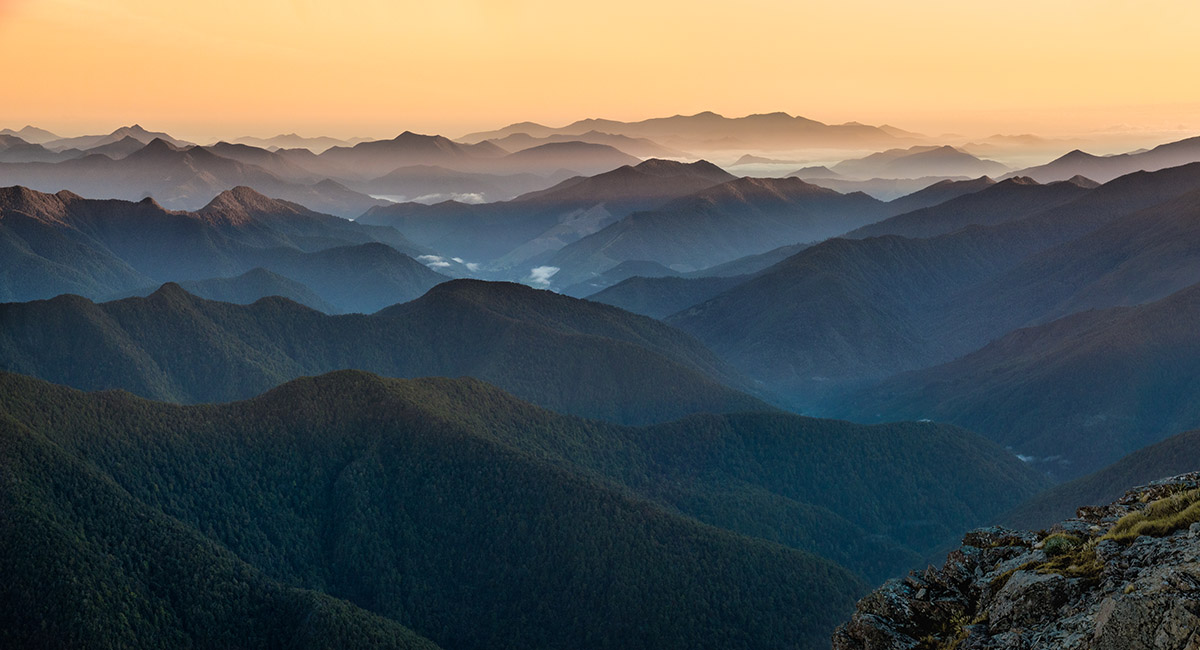
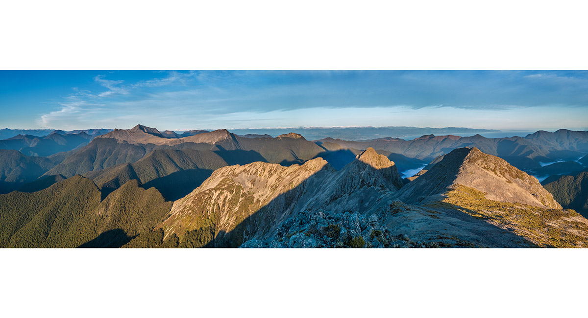
Fishtail summit view at dawn west to Mt Richmond and Mt Fell (left), northwest to Mt Fishtail's secondary summit and distant Arthur Range (centre), and north along the Richmond Range


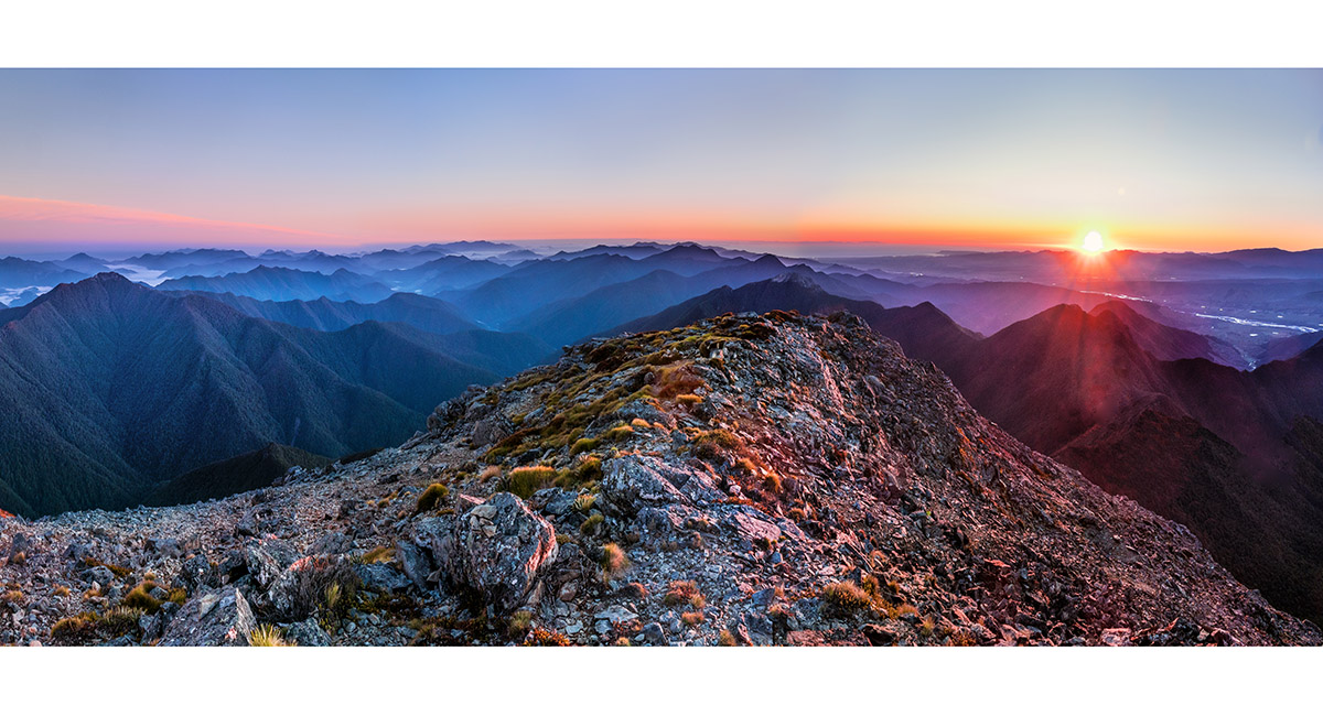
Fishtail summit view at dawn northeast, looking to Mt Royal (1,365m, centre) and Pt1330 (left)


Fishtail summit view at dawn south across Wairau Valley to Tapuae-o-Uenuku


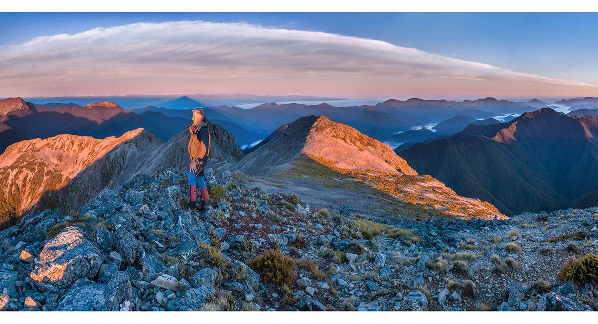
Soaking up the dawn views on the summit of Mt Fishtail


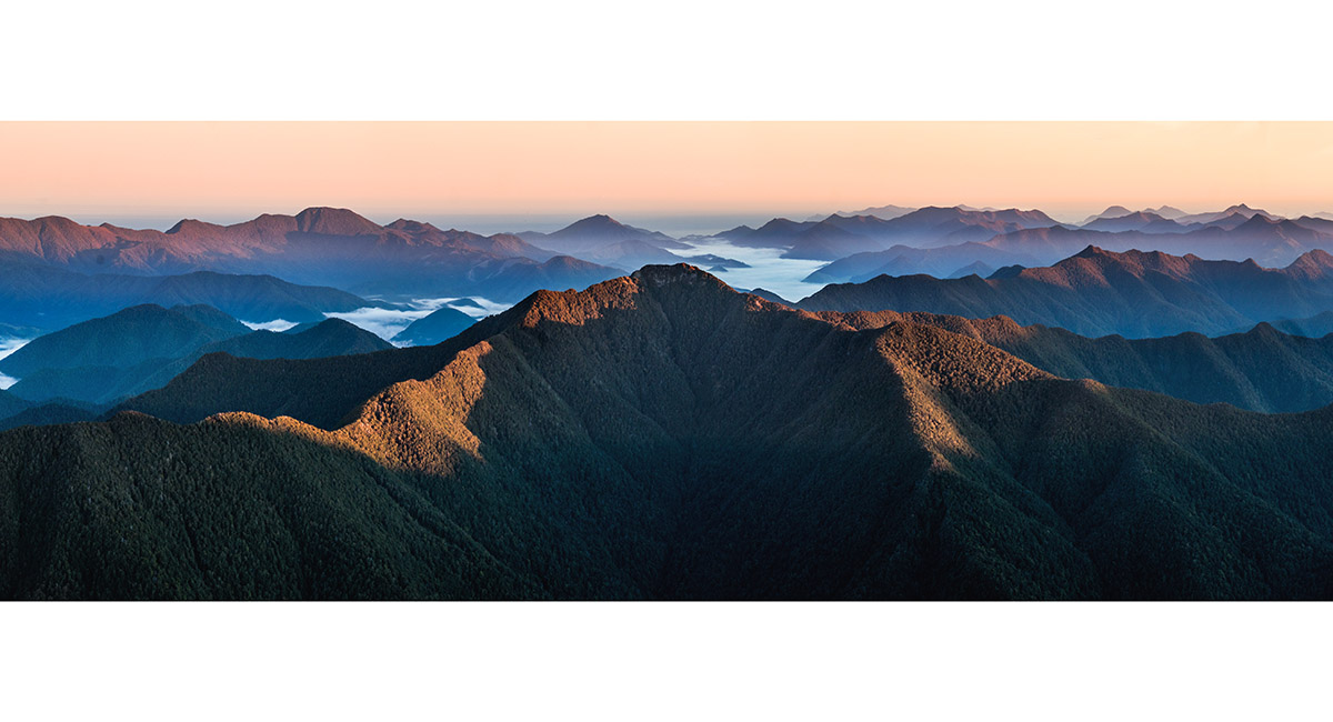
Summit view north along the Richmond Range


Summit view north along the Richmond Range, Pt1330 centre


Fishtail summit view at dawn south to (from left) Tapuae-o-Uenuku, Mitre and Alarm


Summit view north along the Richmond Range


Fishtail summit view west to Mt Richmond and Mt Fell (left), and northwest to Mt Fishtail's secondary summit and distant Arthur Range (right)


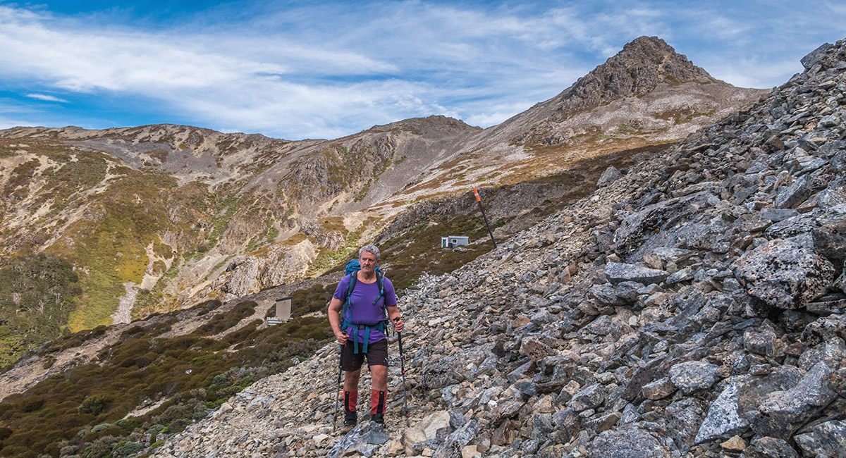
Departing Fishtail Hut


A view south from the trail before it heads back into the bush at about 1,300m. Tapuae-o-Uenuku left, Johnston Peak and Mt Richmond right


Last full view of Mt Fishtail, from about 1,000 metres on the trail, on the descent


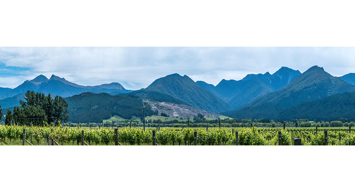
A view north from SH63, across Wairau River to Mt Richmond and Johnston Peak (far left), Mt Fell, and Mt Fishtail (right)


