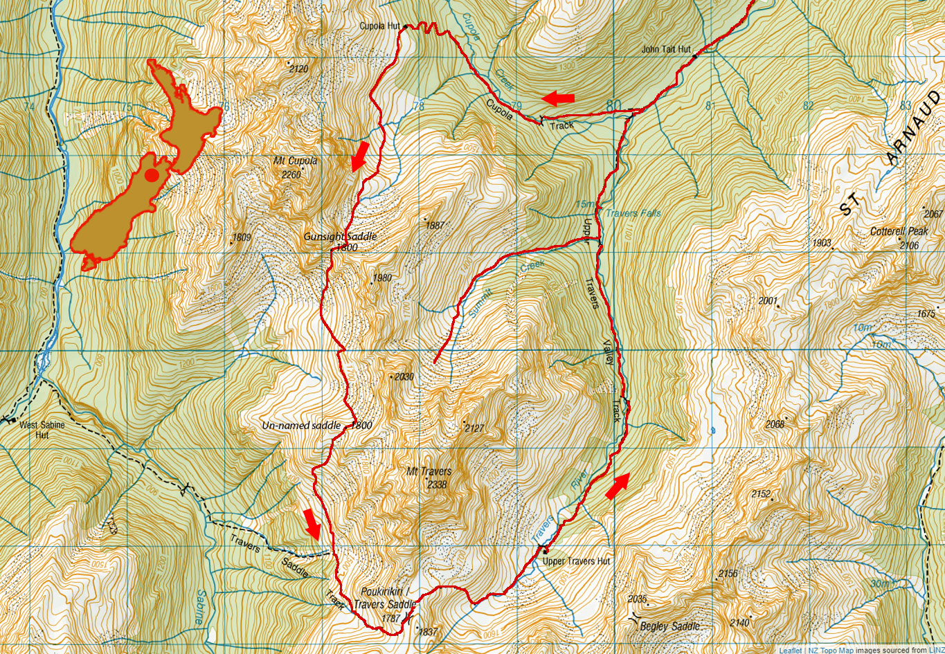
Three saddles, August 2020
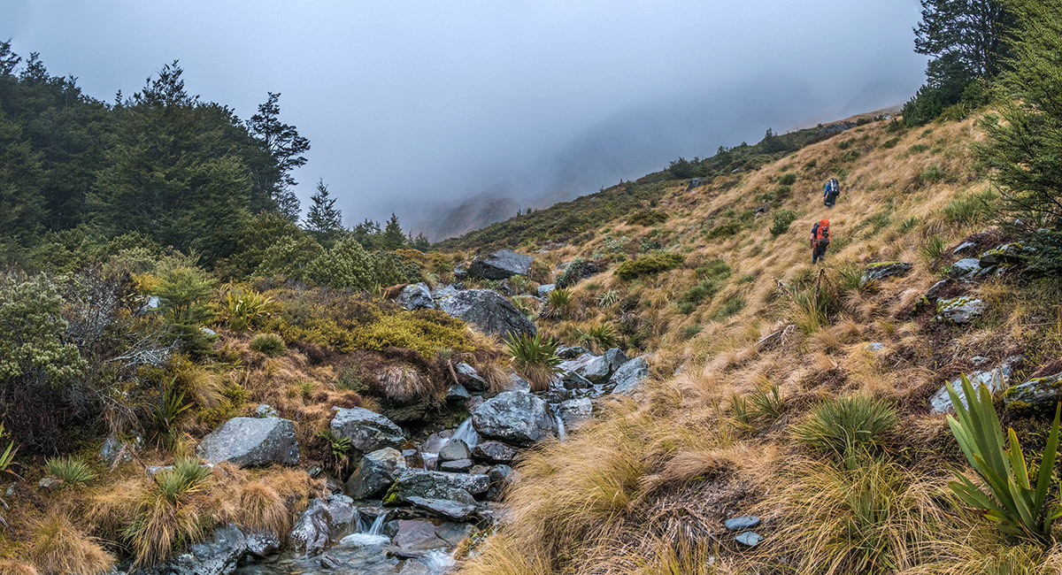
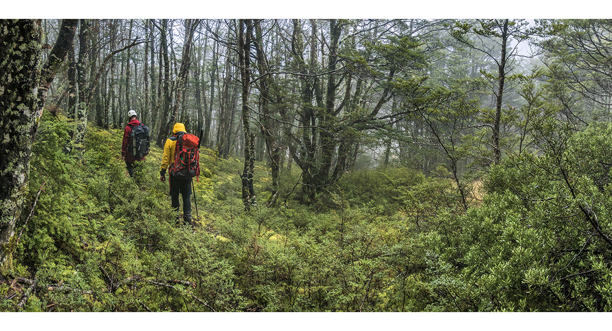
Leaving the bush at about 1,200m, tracing Summit Creek

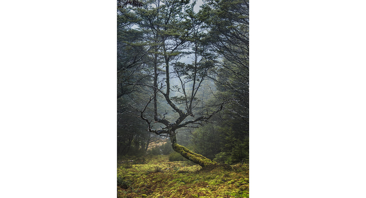
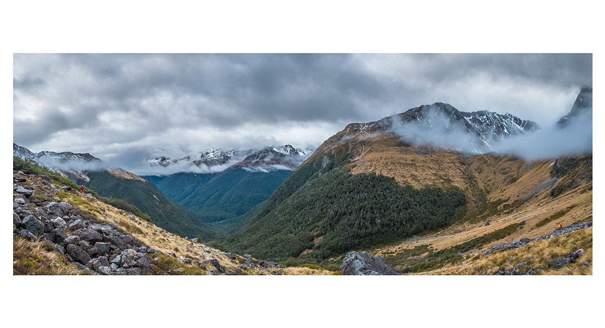
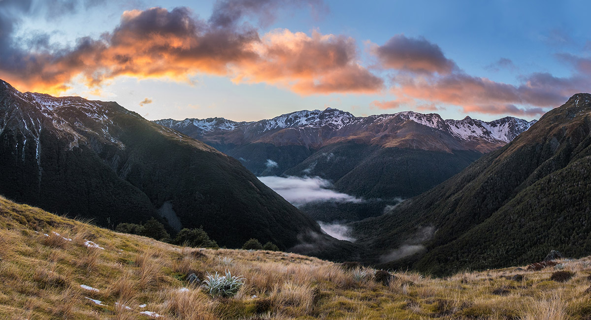
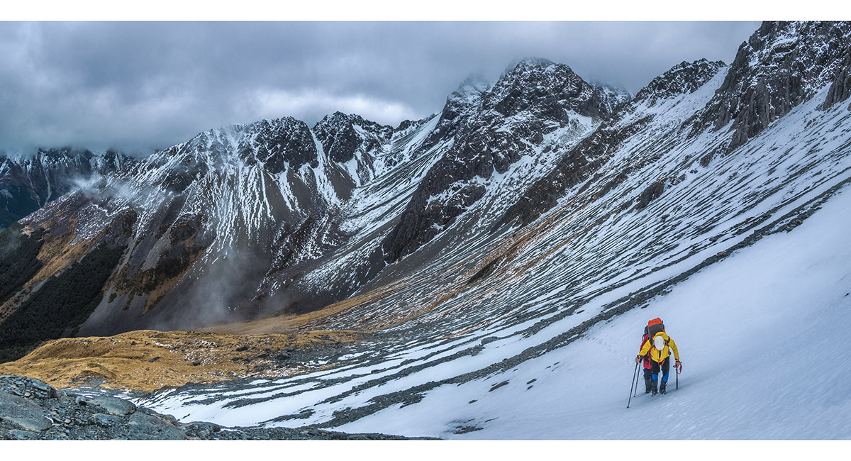
At about 1,400m, tracing Summit Creek

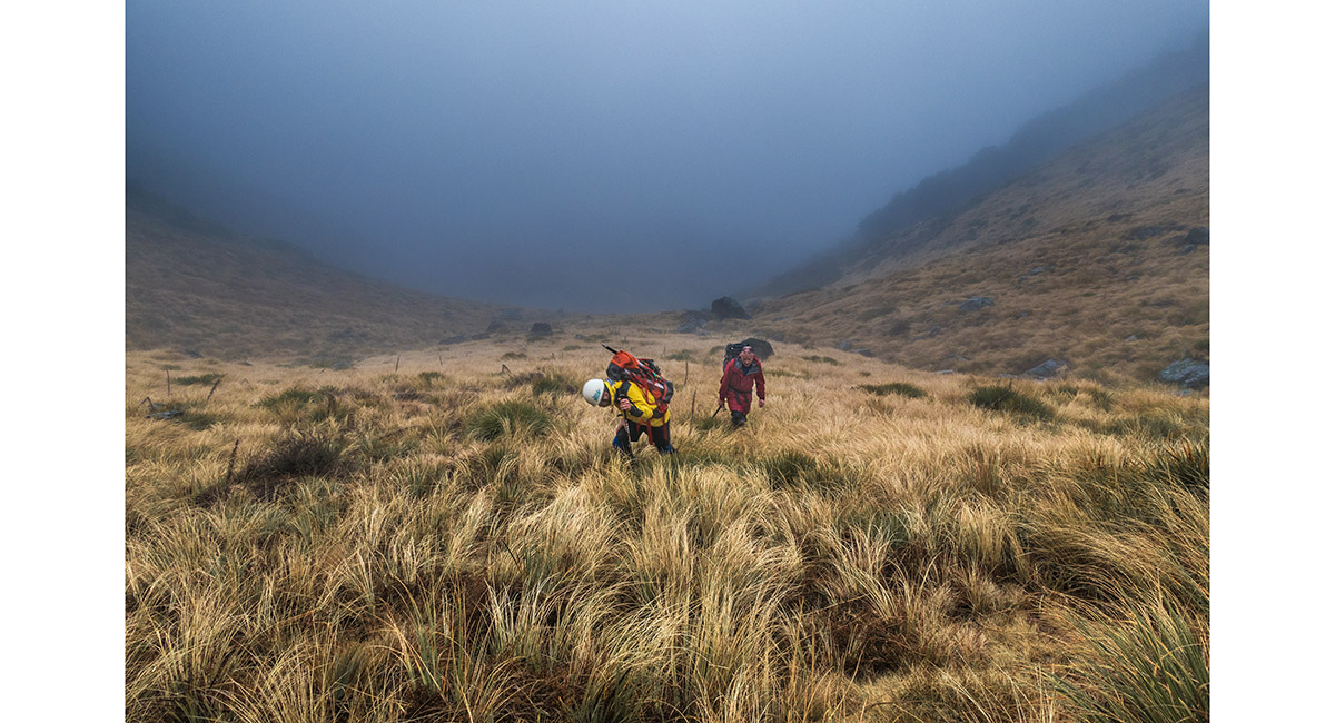
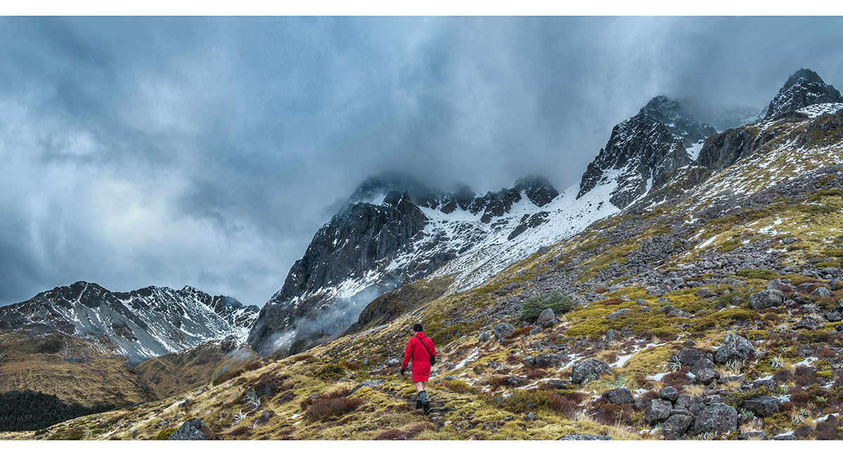
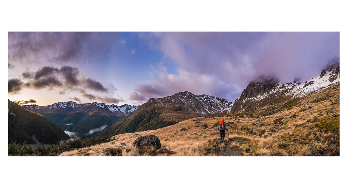
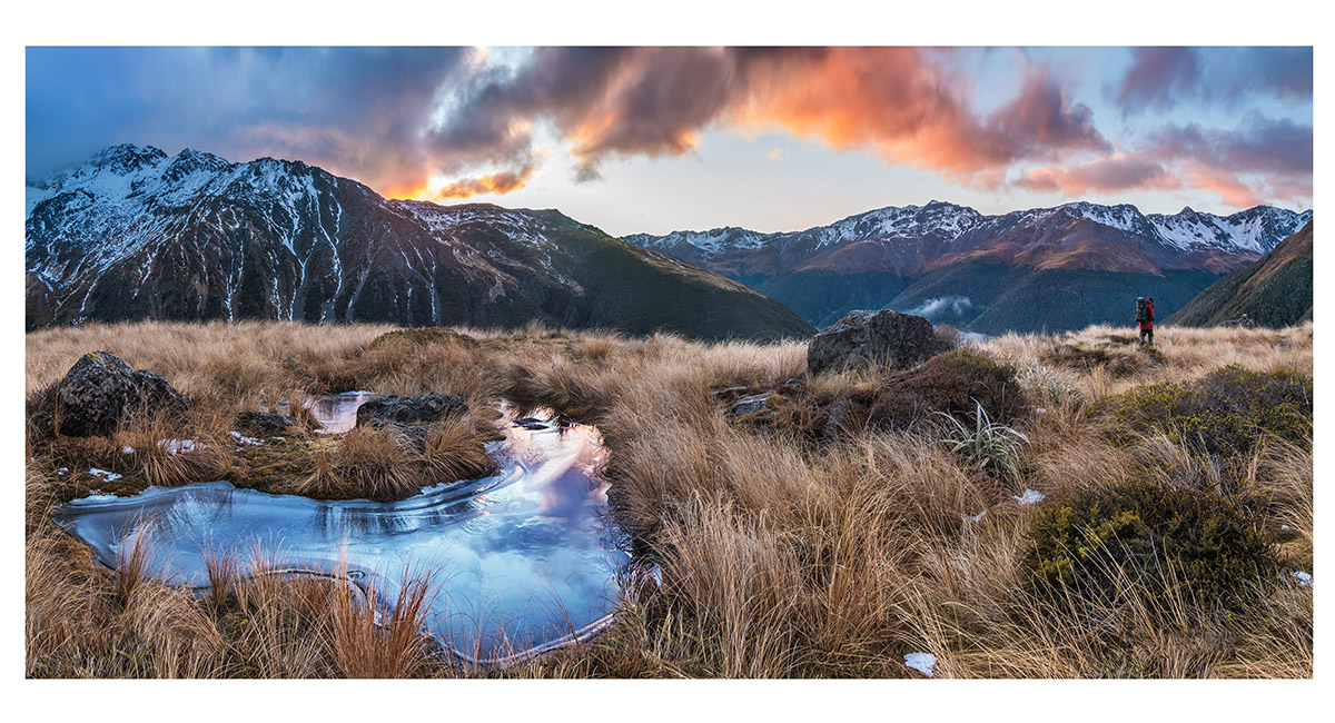
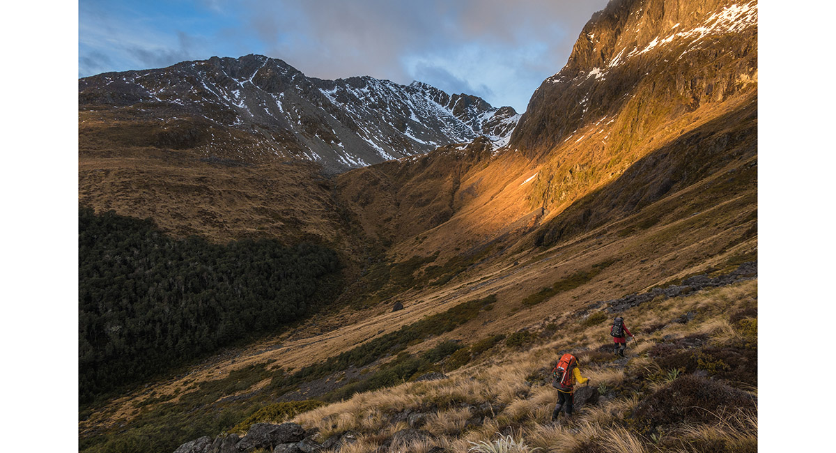
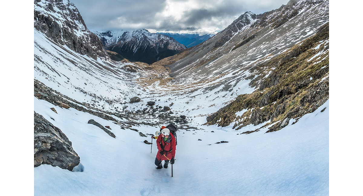
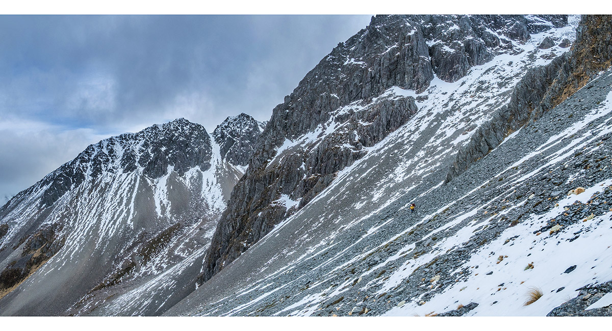
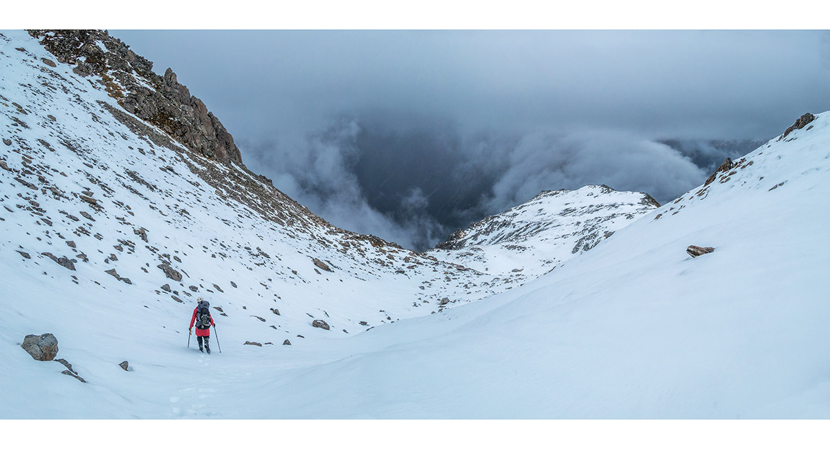
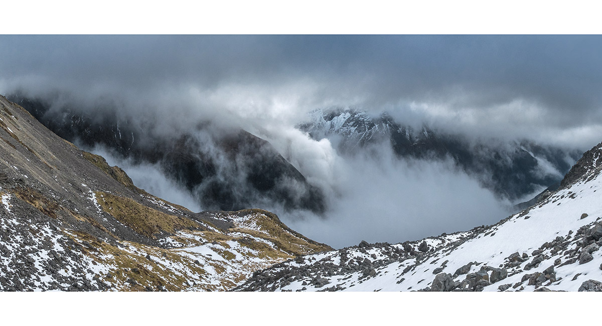
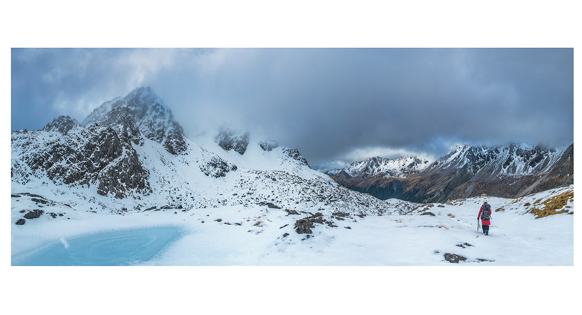
On the scree at 1,600m, beside Summit Creek

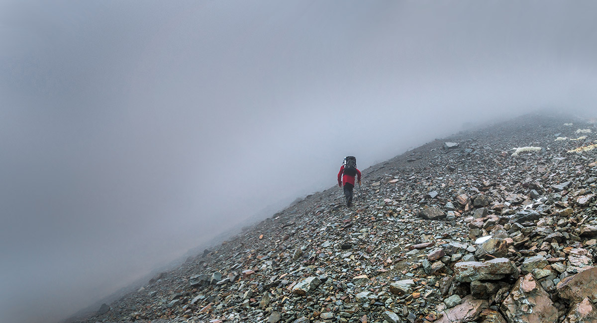
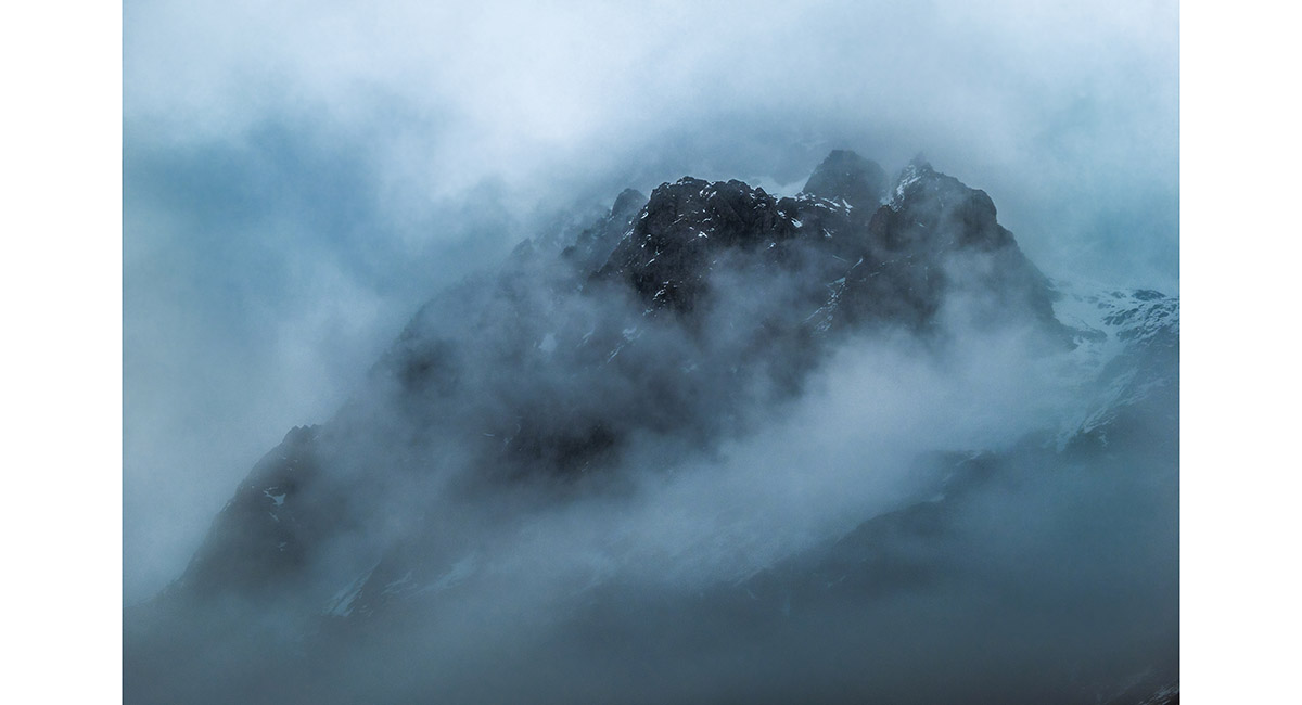
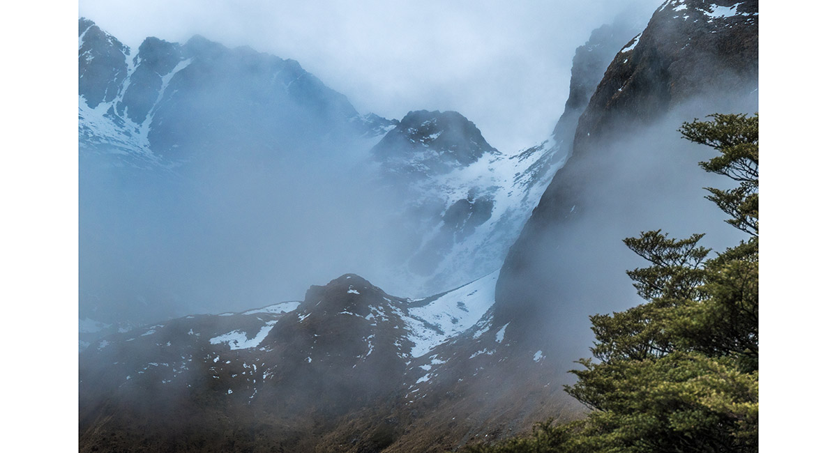
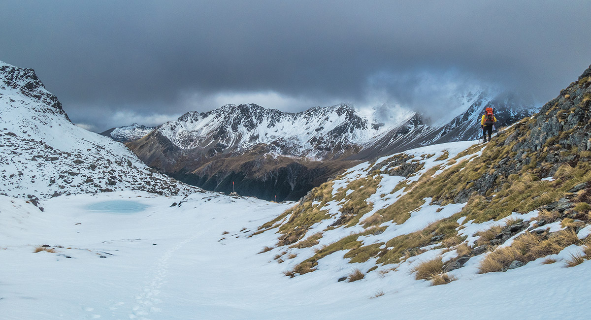
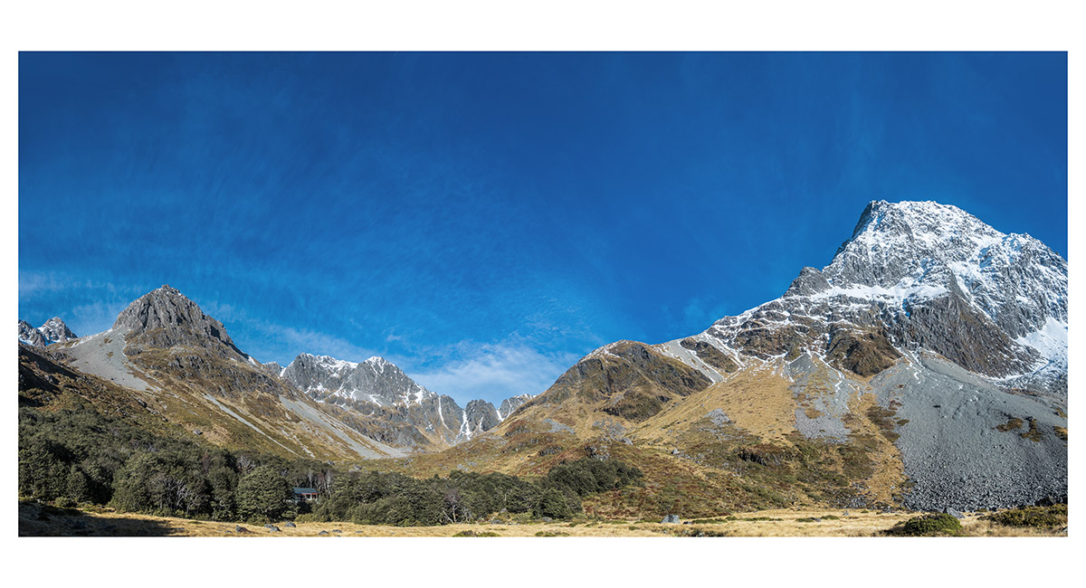
At our 1,670m turn around - Mt Travers' summit remained invisible 670m above

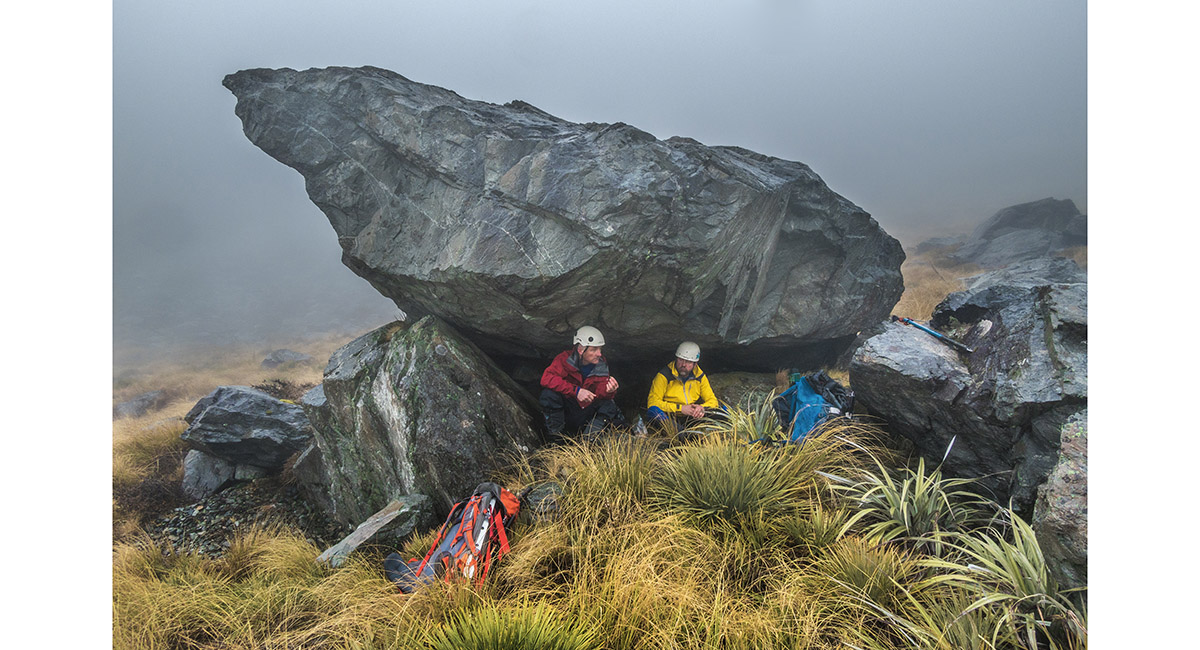
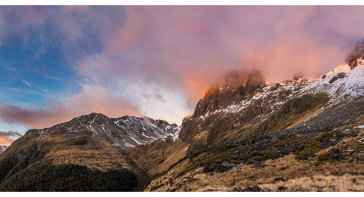
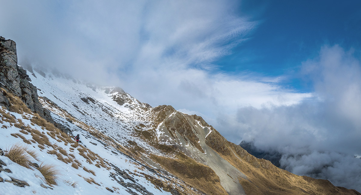
Sheltering from the drizzle at about 1,400m

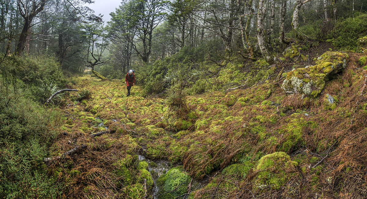
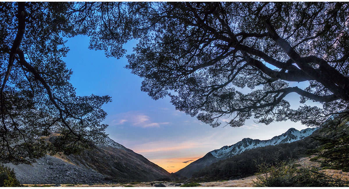
Back in the bush beside Summit Creek, about 1,150m

In the bush beside Summit Creek, about 1,100m

In the bush beside Summit Creek, about 1,100m

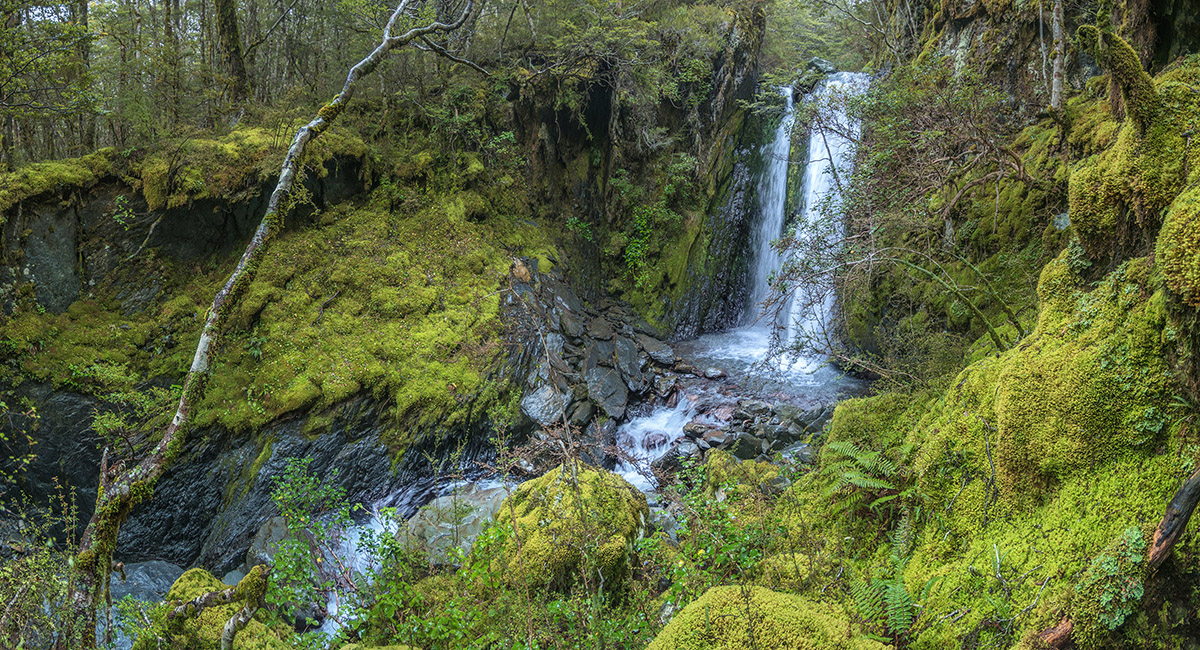
A waterfall on Summit Creek at about 1,000m

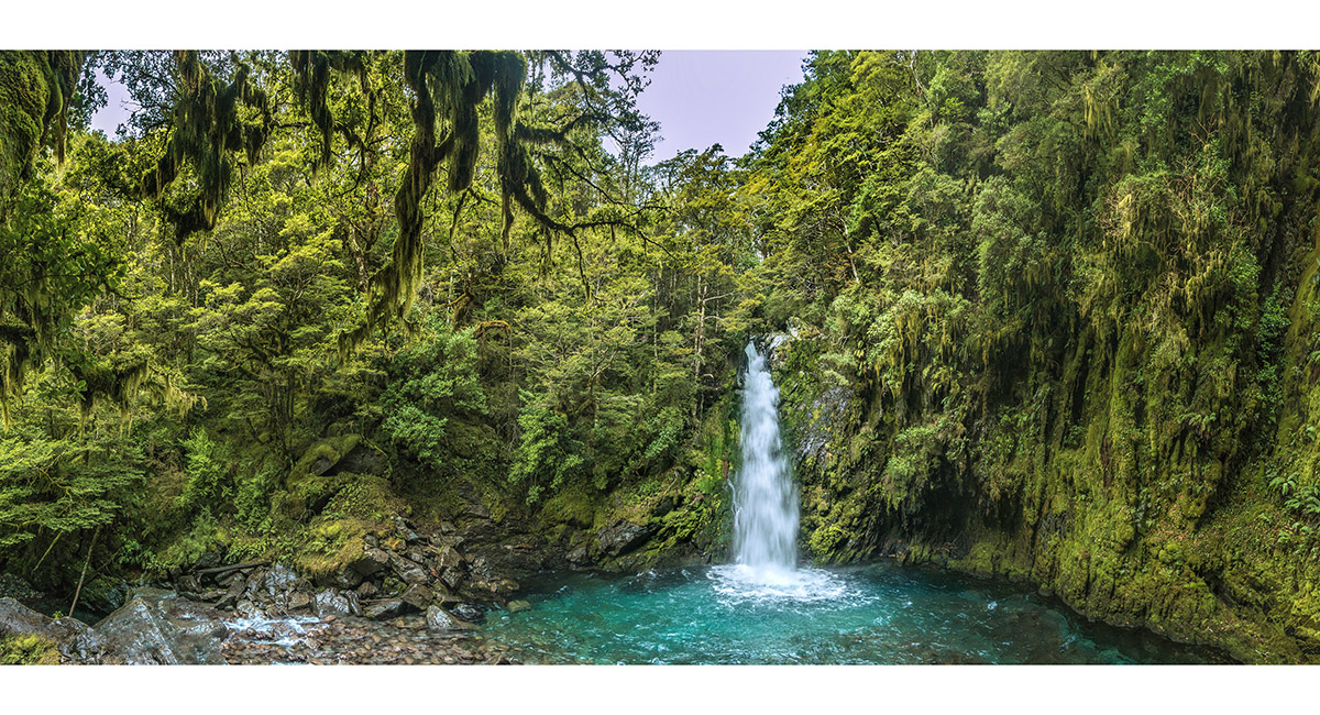
Travers Falls

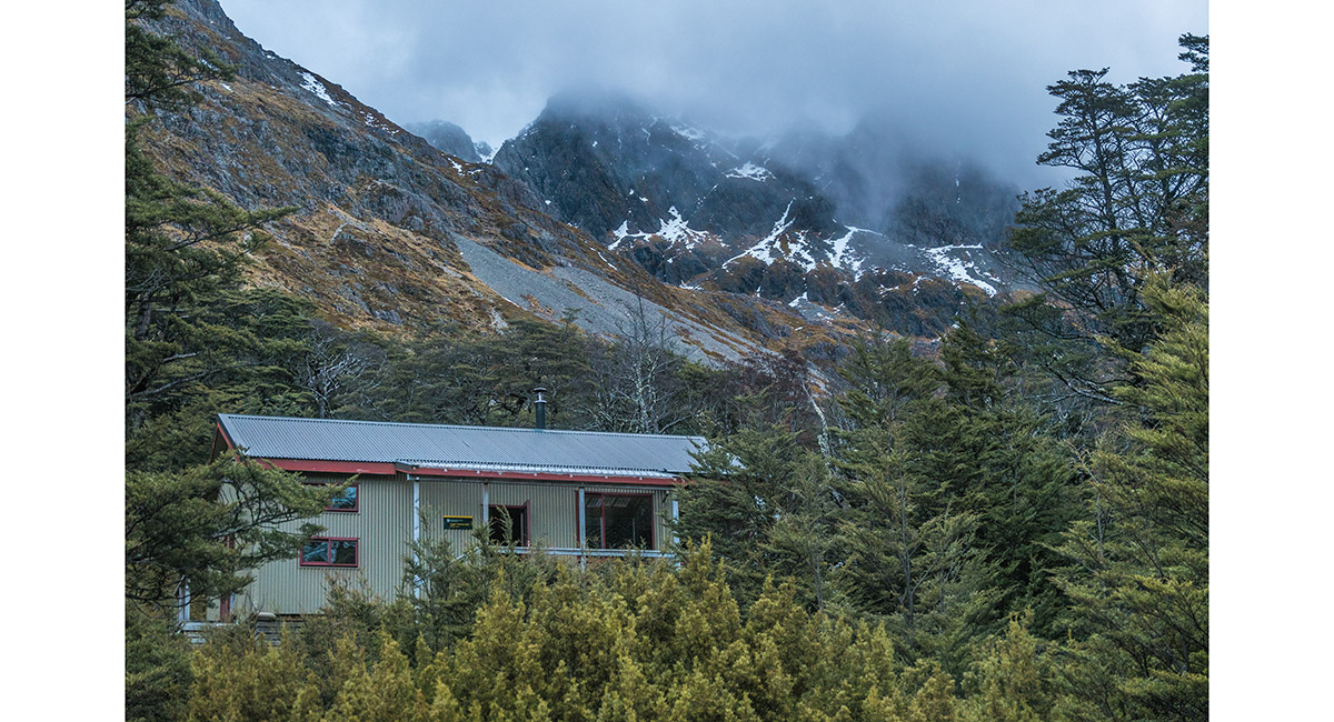
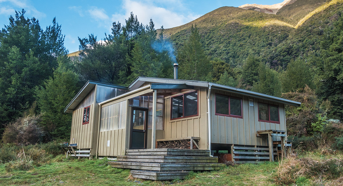
Inside John Tait Hut (800m)

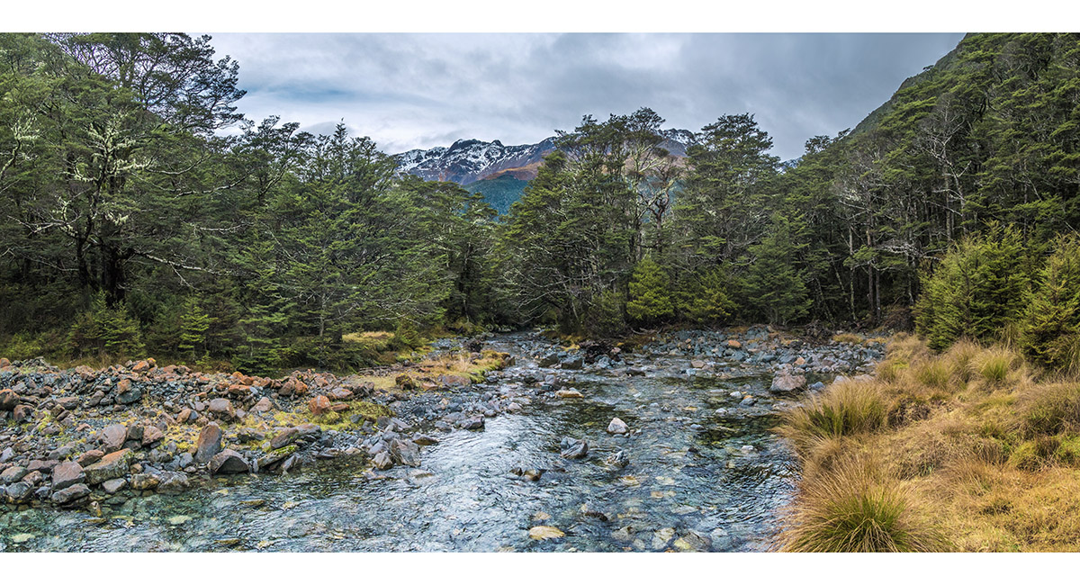
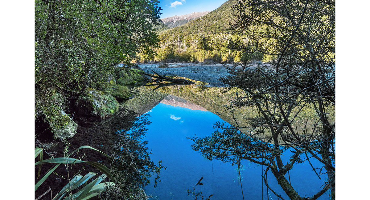
Cupola Creek, at about 900m

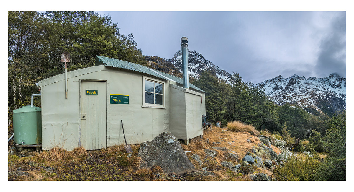
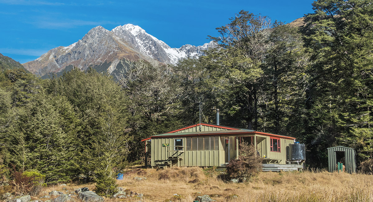
Cupola Hut (1,380m)

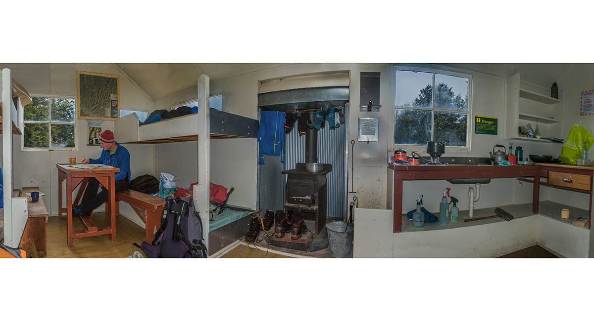
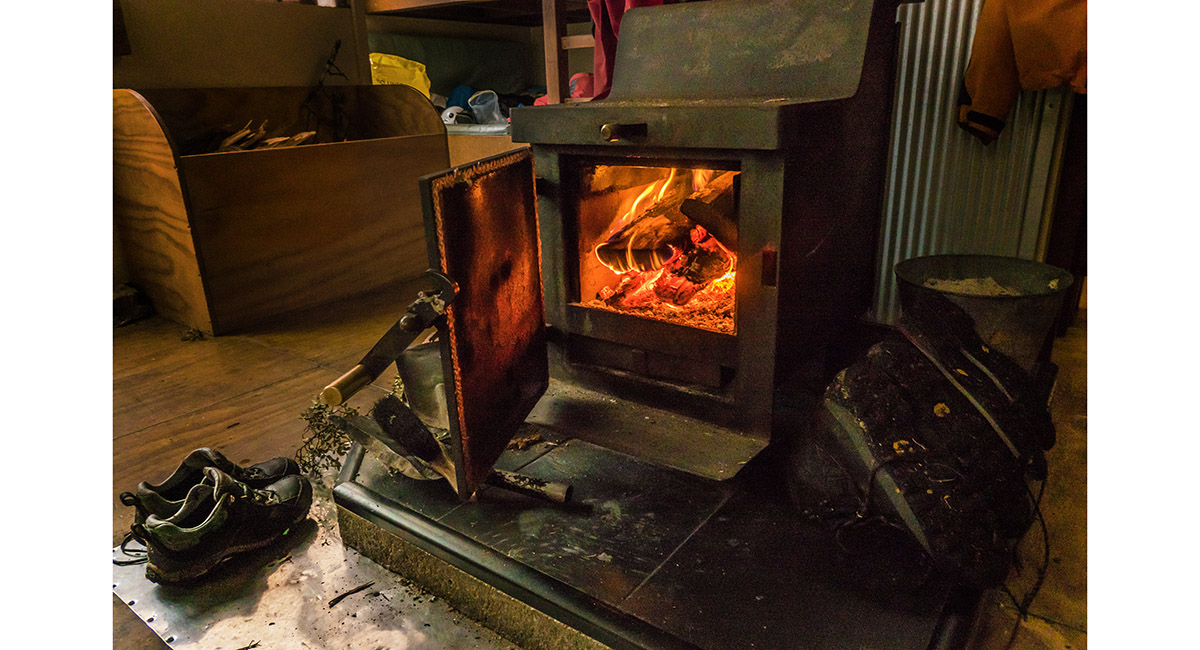
Inside Cupola Hut

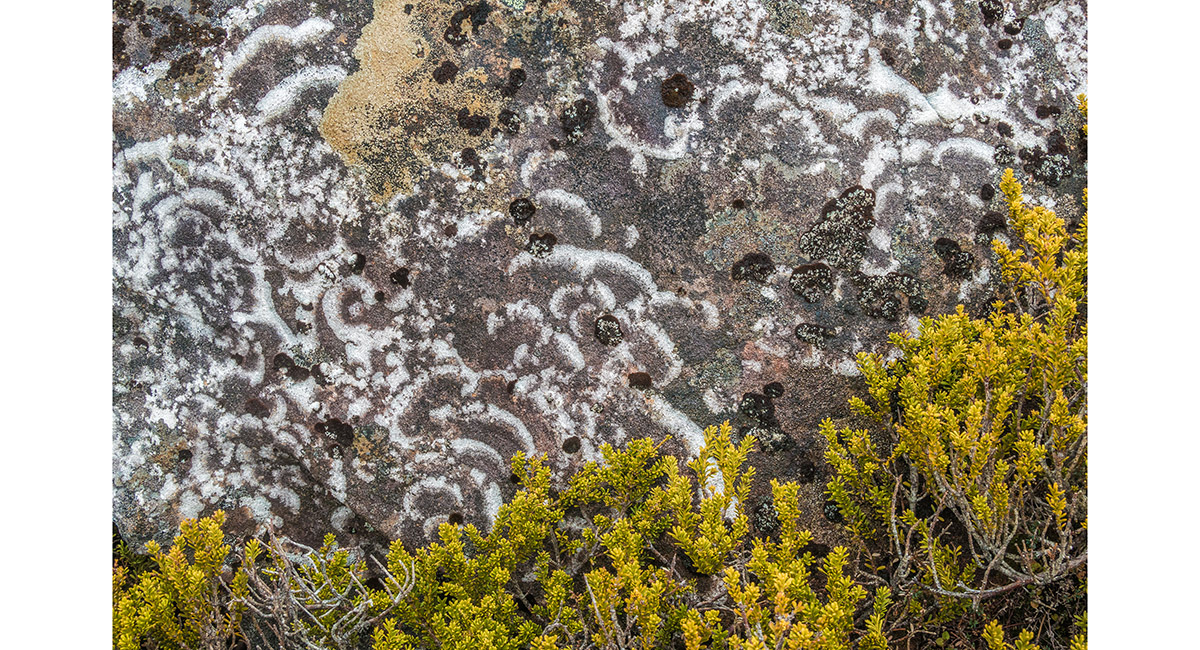
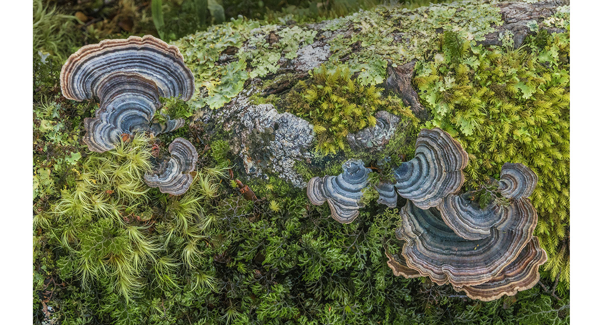
Lichen above Cupola Hut

Above the treeline and Cupola Hut, looking north to Mt Hopeless (2,278m)

Above Cupola Hut, looking south to Gunsight Saddle (left) and Mt Cupola (in cloud, centre)

Above Cupola Hut, looking southeast down Cupola Creek

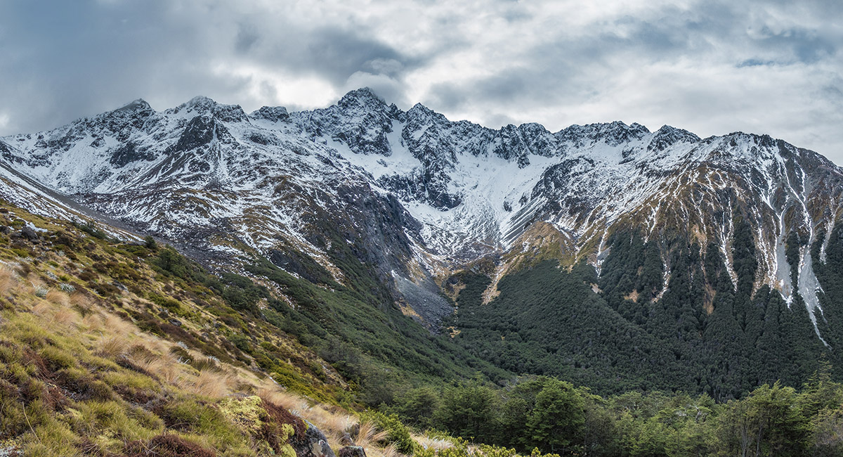
The flanks of Mt Cupola (2,260m)

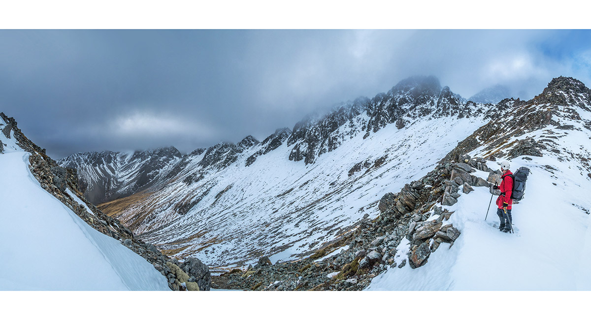
Gunsight Saddle (1,780m)

At dawn, above Cupola Hut, heading south to Gunsight Saddle

A dawn view southeast, from above Cupola Hut

A dawn view southeast, from above Cupola Hut

A dawn view of Gunsight Saddle and the shrouded ramparts of Mt Cupola

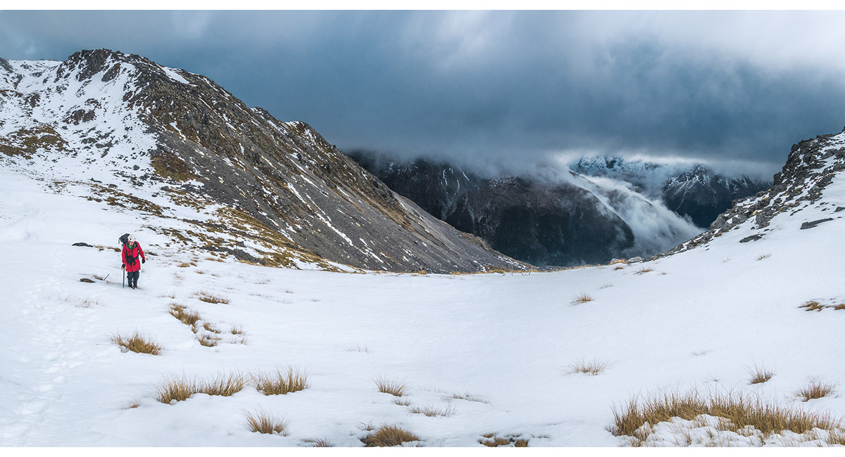
Heading into the 100 metre dip before the climb to Gunsight Saddle

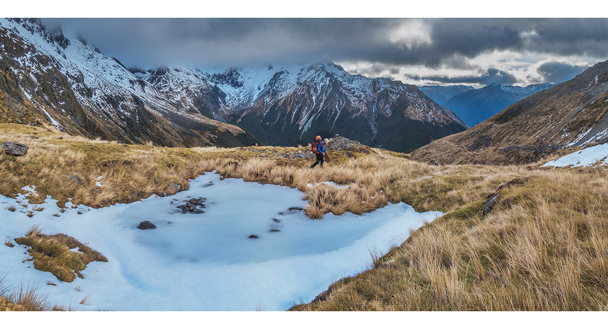
The view northeast from 1,600m, below Gunsight Saddle

The view south from 1,600m, below Gunsight Saddle

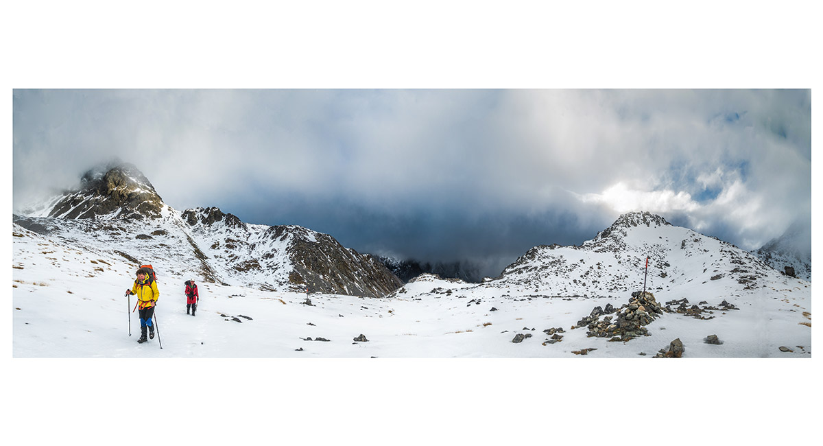
Approaching Gunsight Saddle

Approaching Gunsight Saddle

Mt Franklin (2,340m) through swirling cloud, from Gunsight Saddle (1,780m)

The view southwest, on the descent from Gunsight Saddle

Looking back up to Gunsight Saddle from about 1,600m on the southern side

Traversing scree at about 1,500m, on the eastern side of the Sabine Valley

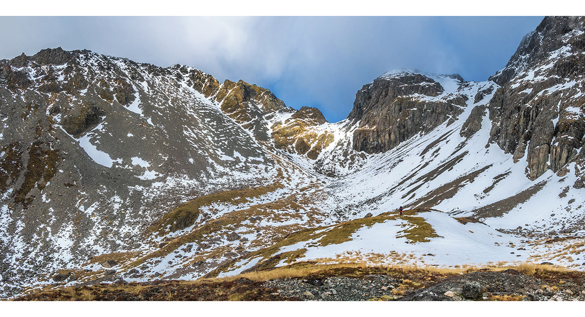
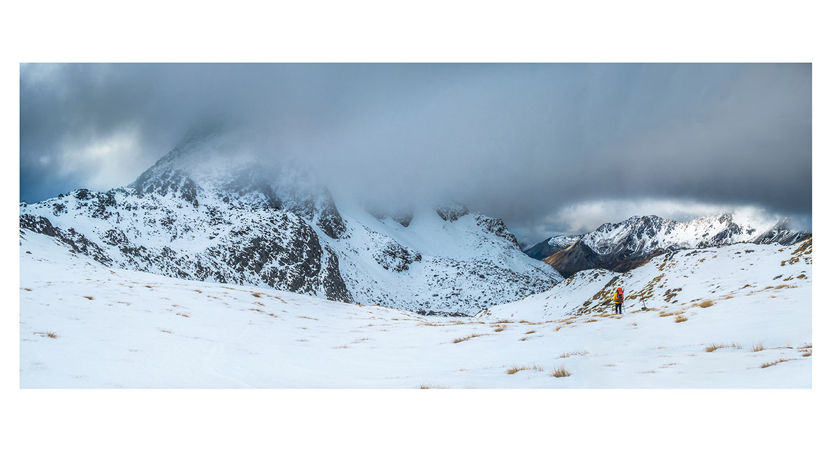
Ascending a second 1,800m saddle, northwest of Mt Travers

Looking south to the second 1,800m saddle

Back above the snowline for the second time on the second saddle, looking back north to Gunsight Saddle - the notch on the left

Heading south, off the second saddle, down to 1,400m

Heading south, off the second saddle, down to 1,400m

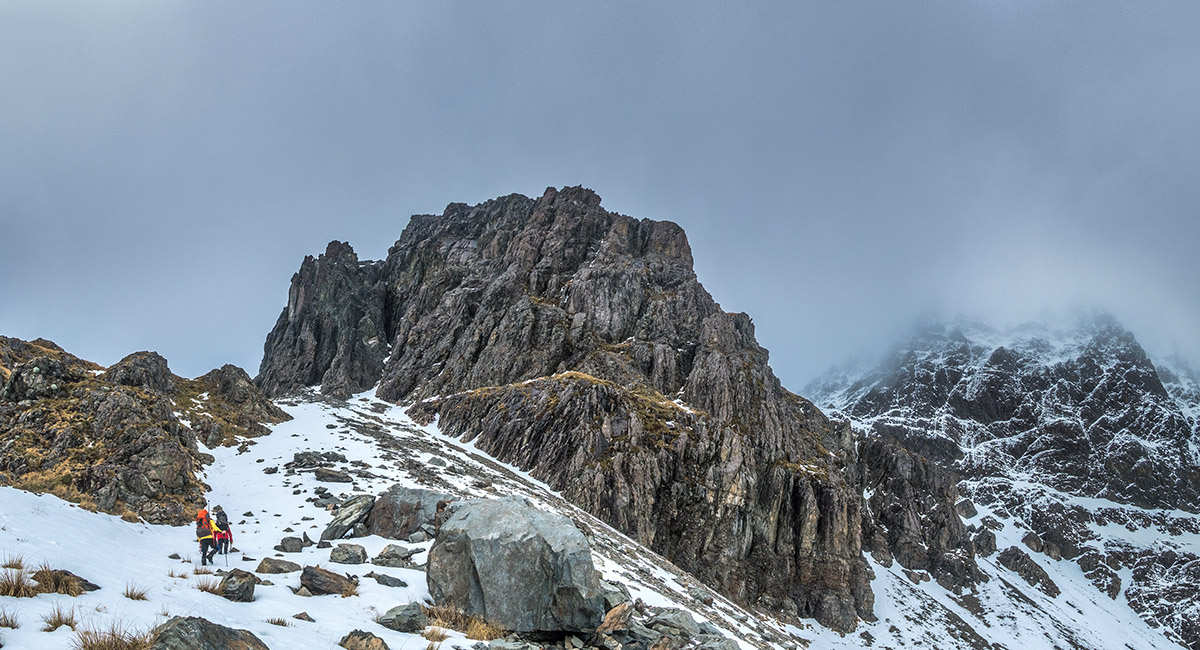
Traversing a rock field at about 1,500m as we near the intersection with an old bit of the Travers Saddle track

Now on the Travers Saddle track, heading up again

Into the snow line for the third time, as we approach Travers Saddle

At about 1,700m, on the south side of Travers Saddle

On Travers Saddle (1,787m), looking south

On Travers Saddle (1,787m), looking north. Mt Travers is shrouded in cloud at left

On the descent from Travers Saddle

On the descent from Travers Saddle. Mt Travers is left

Upper Travers Hut (1,320m)

A dawn view from just below Upper Travers Hut

Upper Travers Hut (left) and Mt Travers (right). A summit day, but no time to use it

A section of the track below Upper Travers Hut


A view north on the track, at about 1,000m

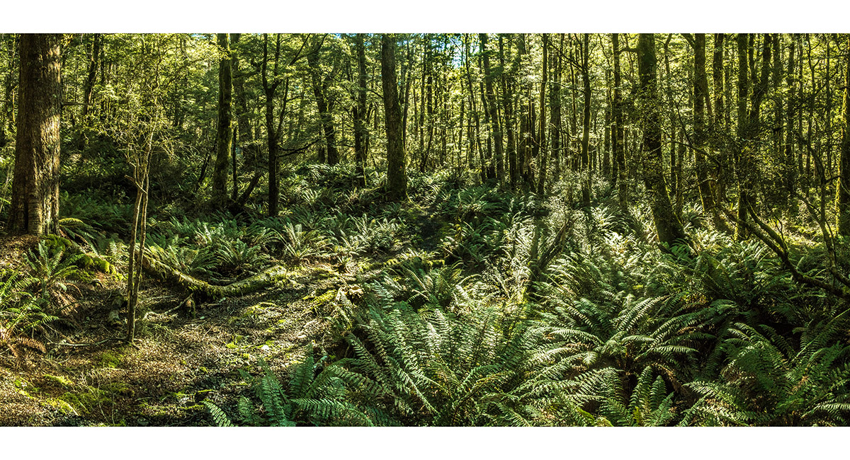
In the bush at about 900m

Fungi beside the track

John Tait Hut (800m), with Mt Travers (2,338m) behind

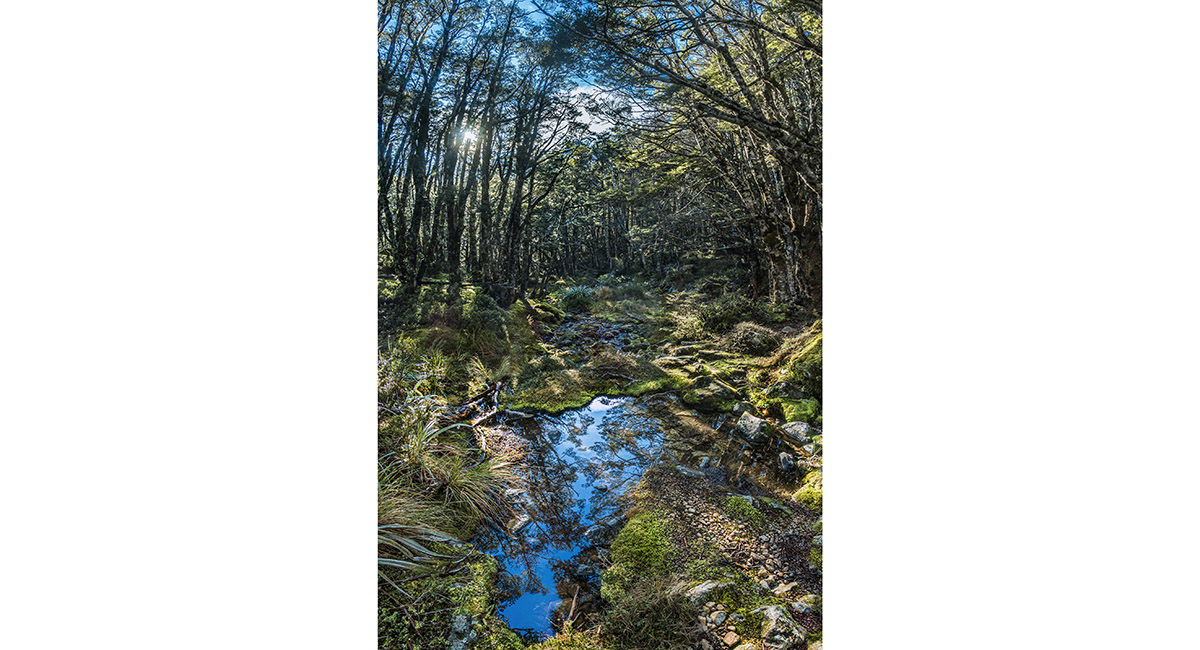
A pool on the west bank of Travers River, at about 700m

Lakehead Hut (610m)

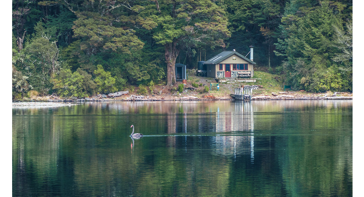
Coldwater Hut (600m)

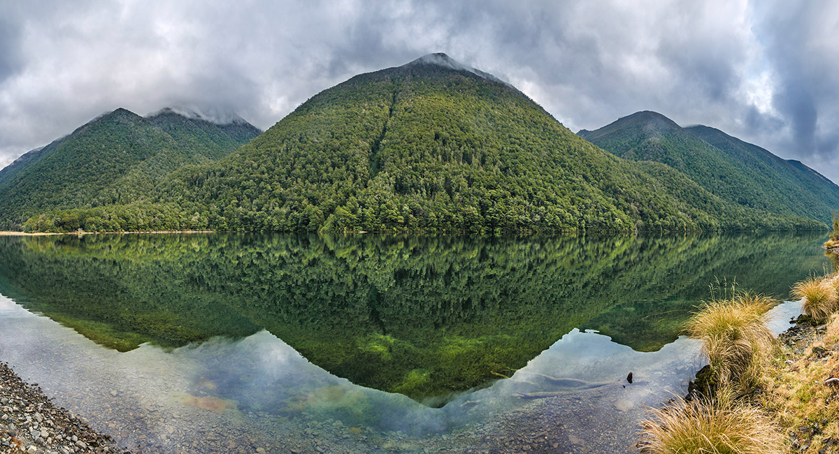
Lake Rotoiti - a view to Robert Ridge from the south end of the lake

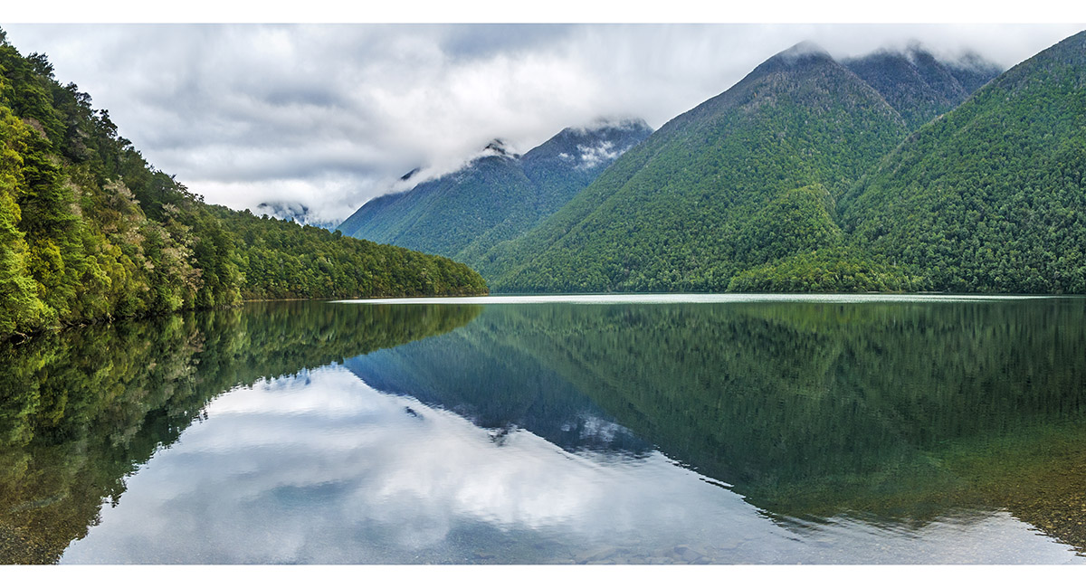
A view west across Lake Rotoiti

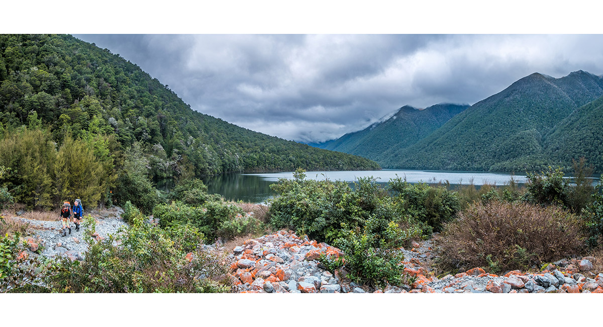
Looking south from the track, between Lakehead Hut and St Arnaud

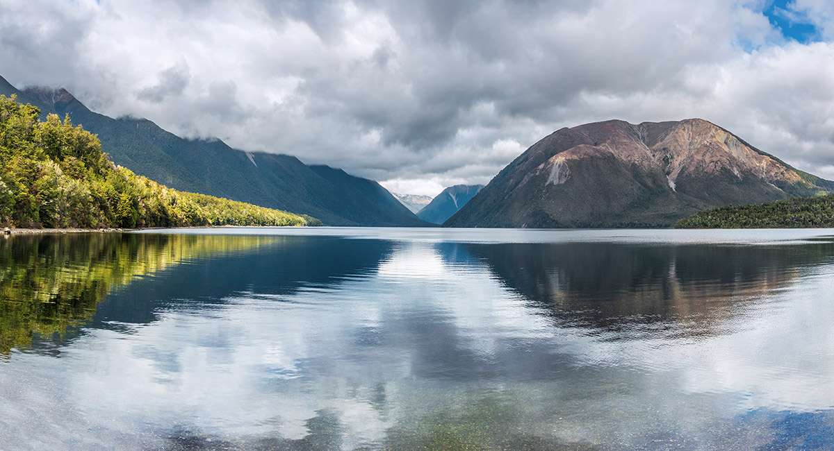
Looking south down Lake Rotoiti, from St Arnaud

To order a print or web resolution file of any image you see in this slide show, just right click the image, click “Copy Image URL” and paste in to the “Your message” box of our Contact Us form. Please also note, for each image, if you want a print or web resolution file. We will get back to you as soon as possible to confirm price and payment details.
Open Contact Us in a new window to paste Image URL(s) easily