Mt Travers East Face/Summit Creek, August 2024

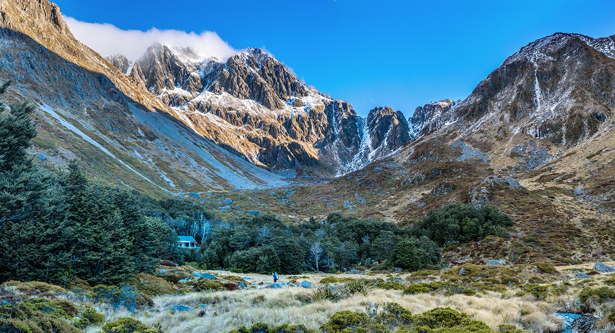
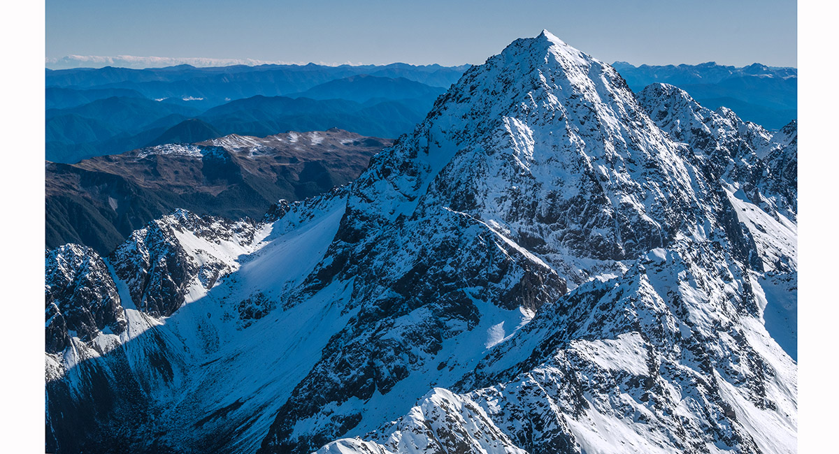
First view of Mt Travers (2,338m) from below John Tait Hut (800m). The summit section is the west face and further right is the upper part of the Summit Creek route

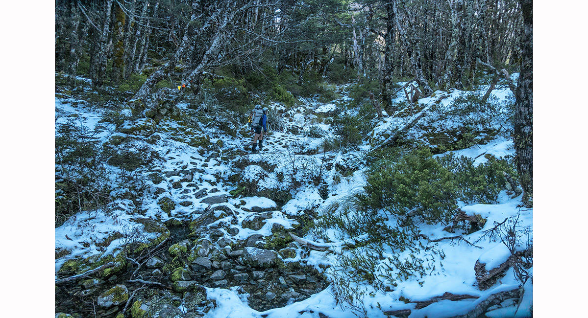
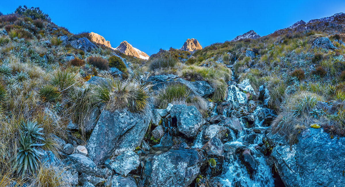
We reached snow at about 1,200m, here on the trail below Upper Travers Hut

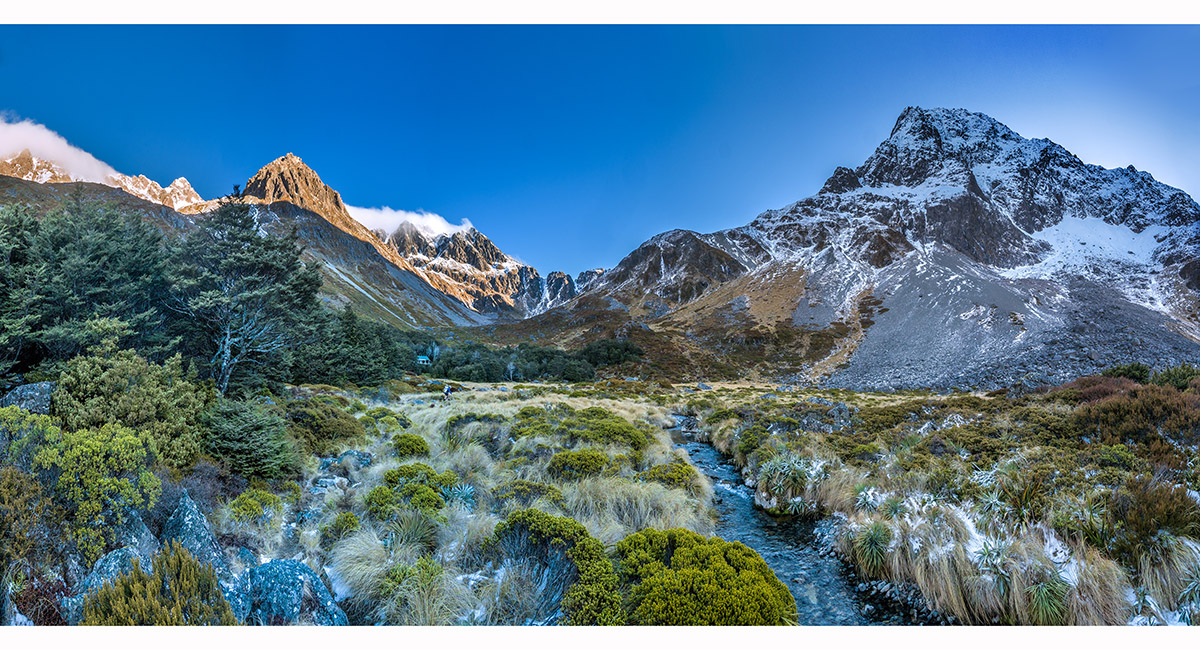
At 1,320m, looking west/right to Mt Travers and south to Kehu (2,220m, clear of cloud far left) and Upper Travers Hut

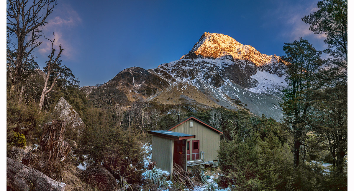
Upper Travers Hut (1,327m)


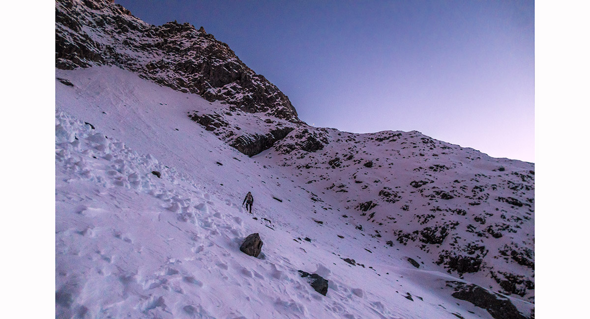
After a 6am start we reached the snow at about 1,500m

Climbing towards the shoulder at 1,720m


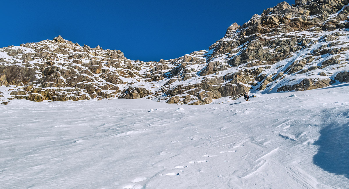
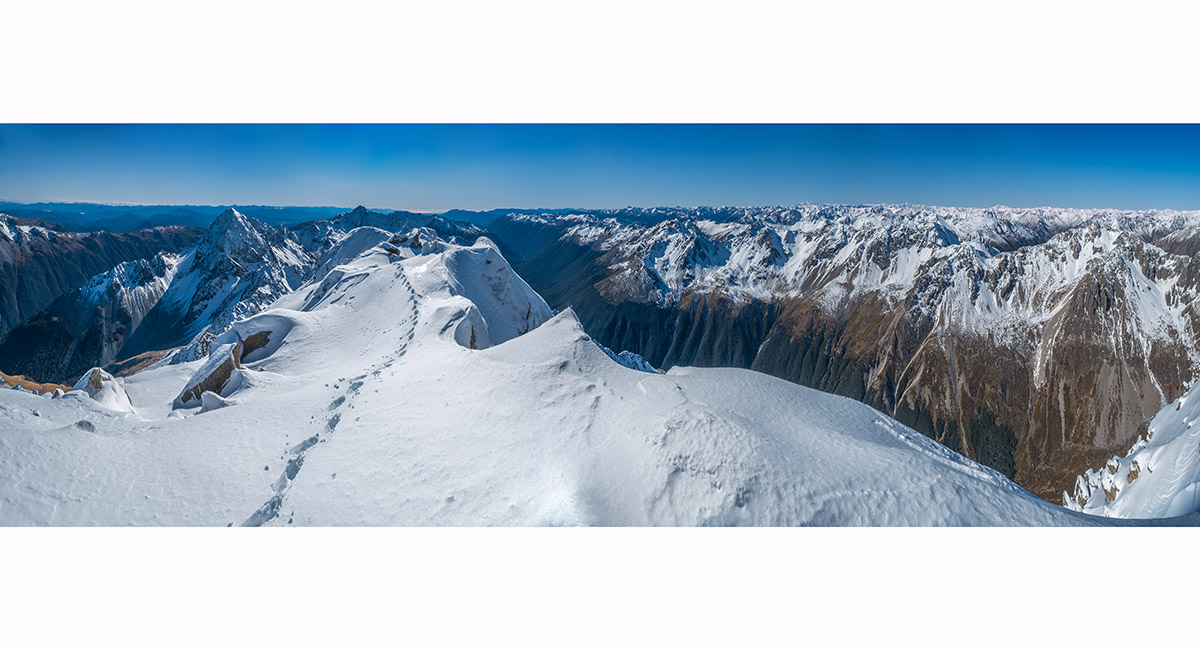
On the 1,720m shoulder with a dawn view east. Kehu is the prominent peak mid-right


From the shoulder we dropped 60m to the north to access snow slopes leading to the NE ridge

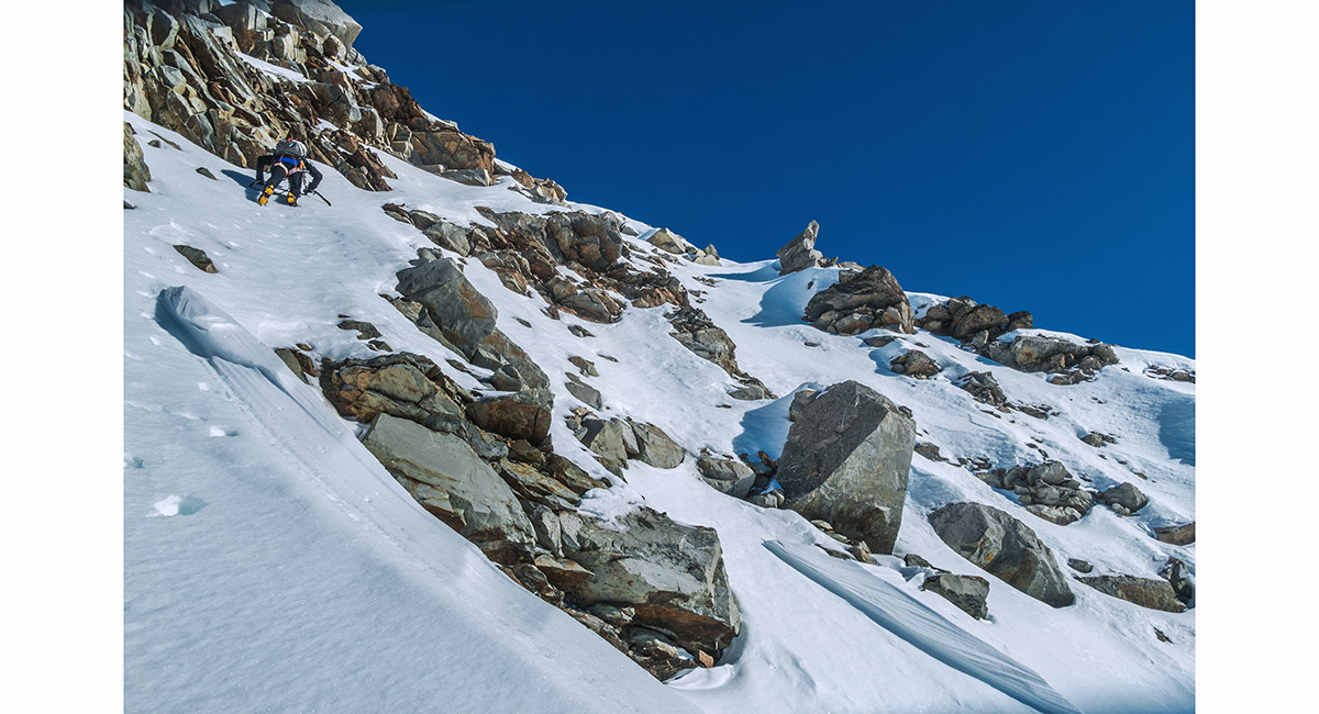
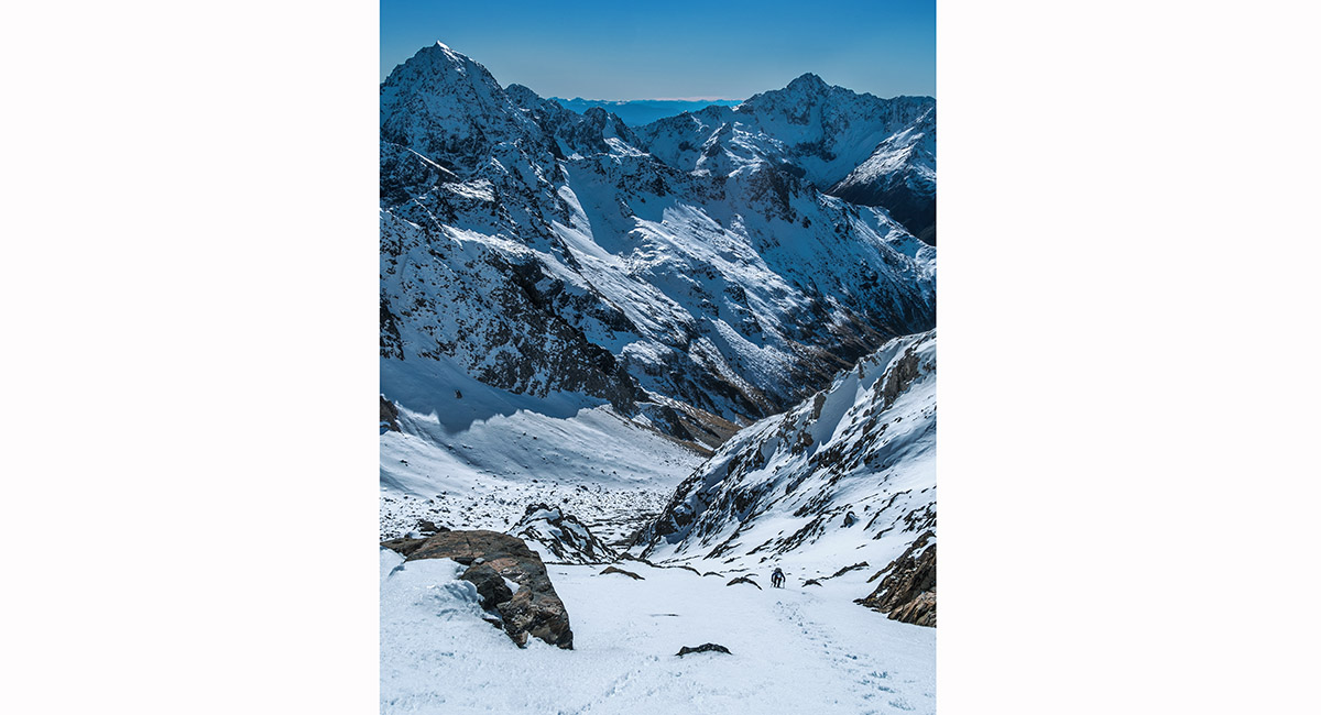
Snow conditions were mostly firm. The slopes below the ridge are quite steep, with a few more tricky moves required amongst the rocky section, particularly where the snow was unconsolidated

A nice morning view of Kehu from about 1,900m on the east face

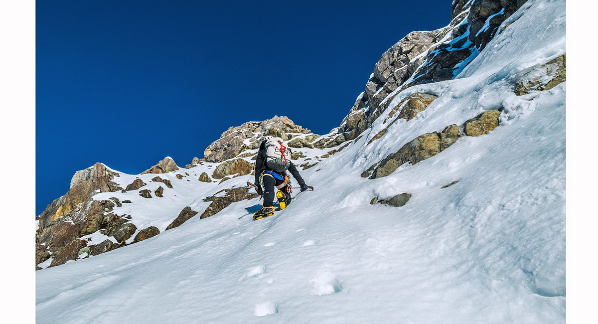
Steep snow at about 1,900m


Jim's lead climber view from about 1,950m (Photo: Jim Davidson)

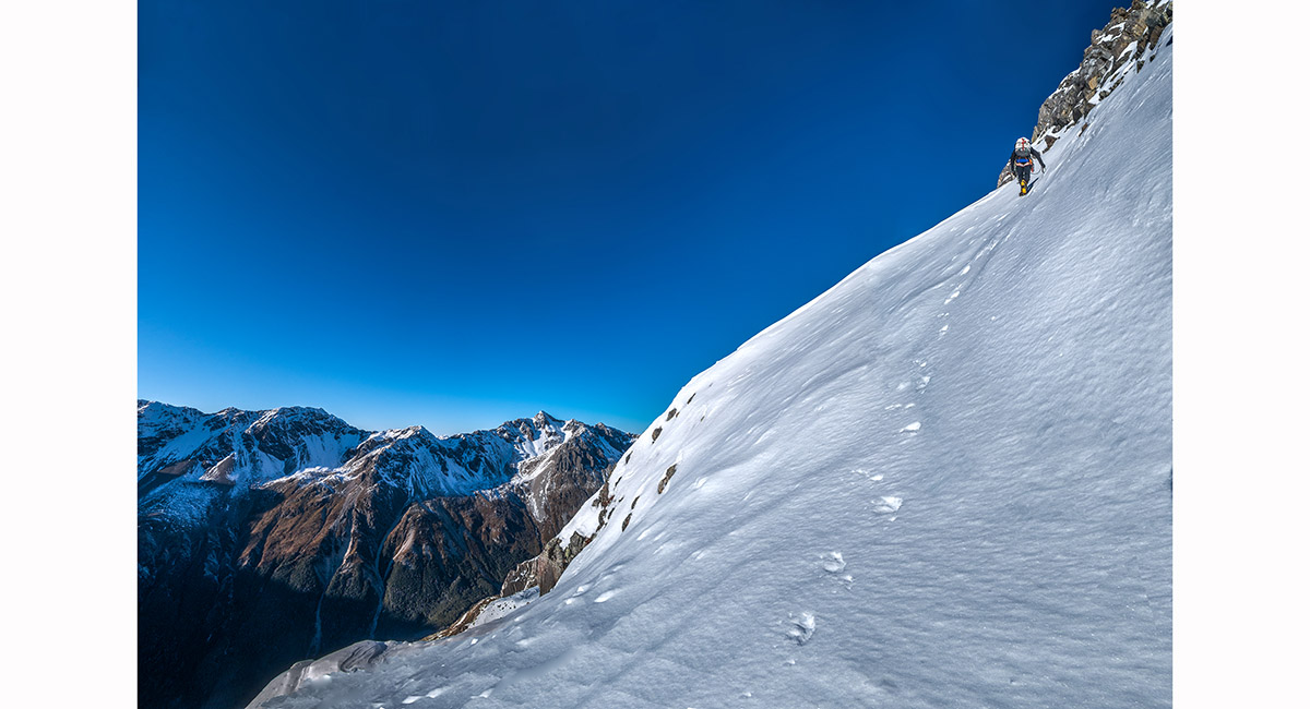
Another more open stretch at about 2,000m

Heading towards the NE ridge just north of Pt 2127

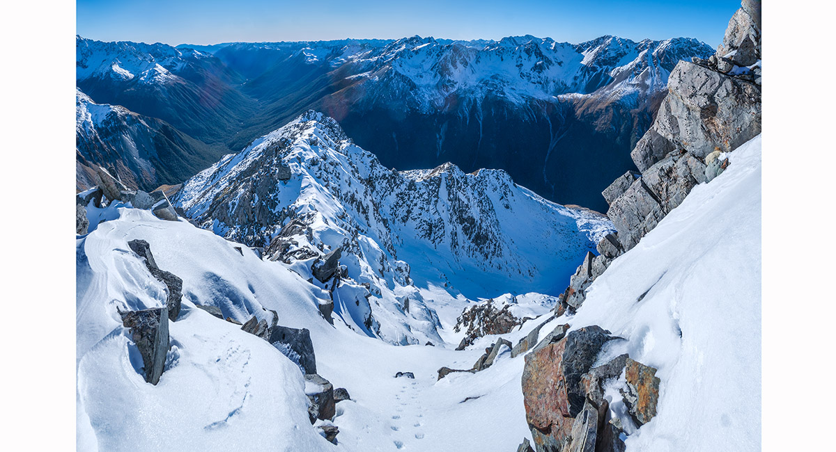
The view back down the east face from just north of Pt 2127

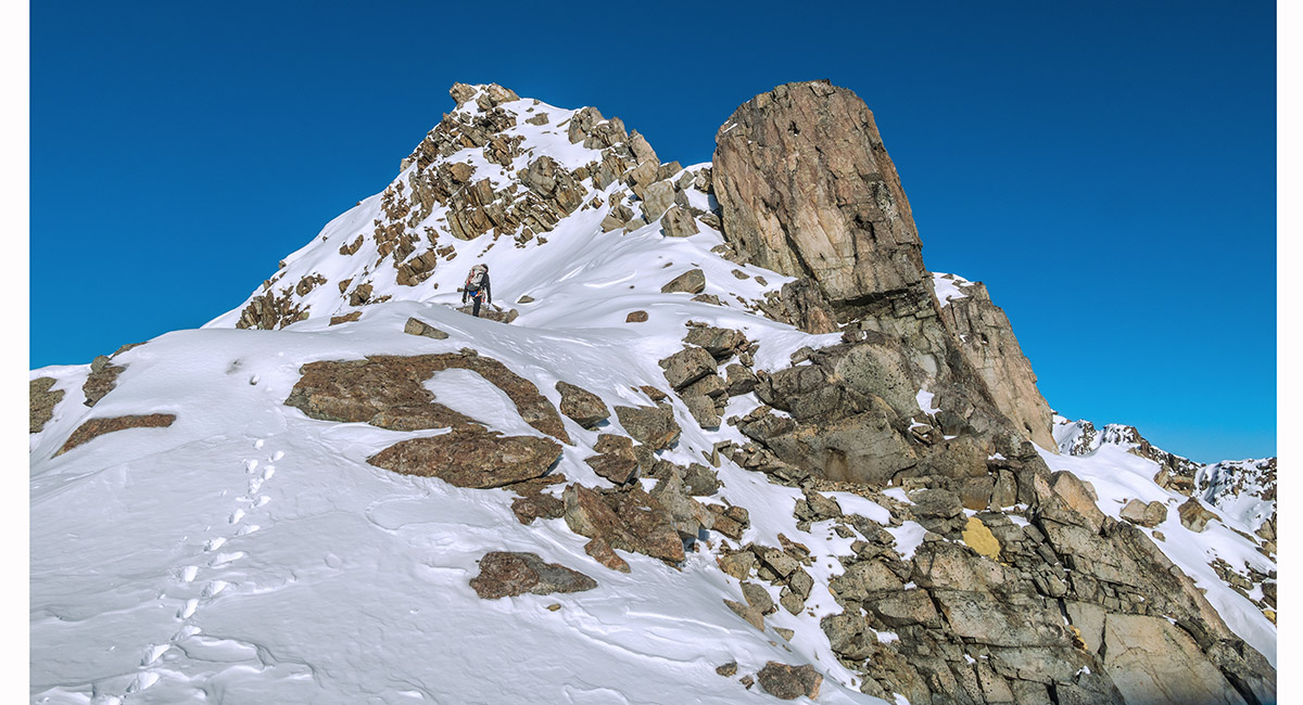
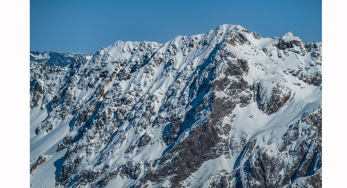
Climbing Pt 2127

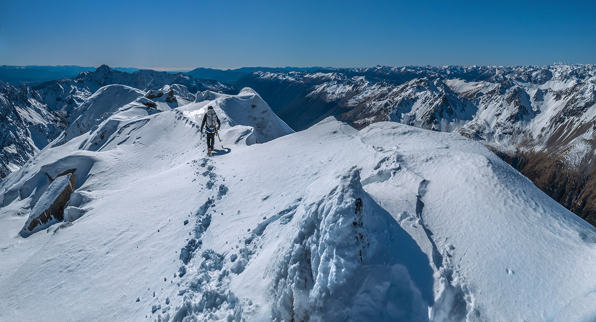
The view south along the NE ridge, beyond Pt 2127. On the skyline Kehu left and Cupola right


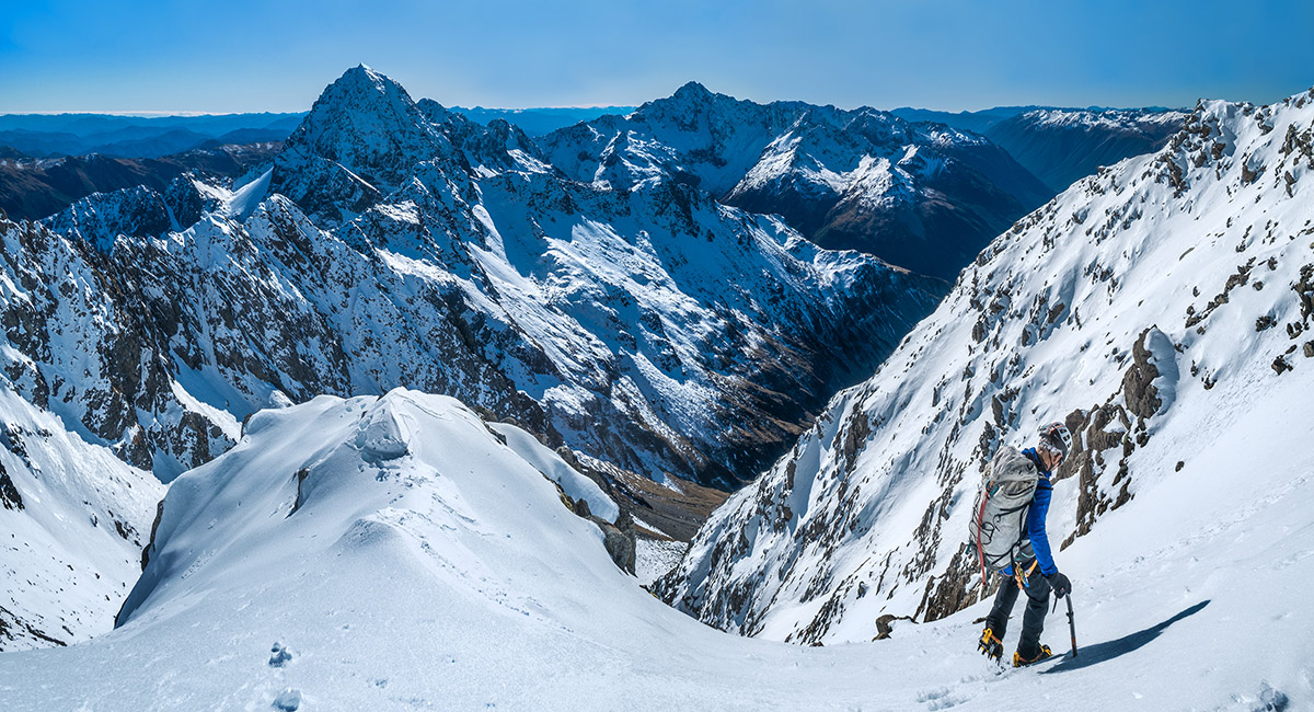
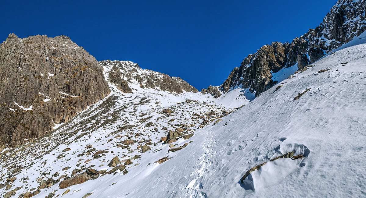
At 2,100m we had lunch at the base of the west face before heading right onto the face, diagonally climbing to Mt Travers' north ridge

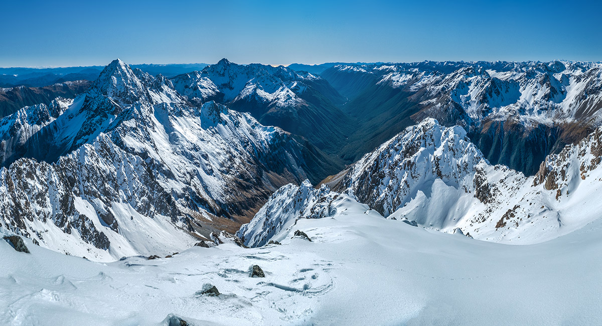
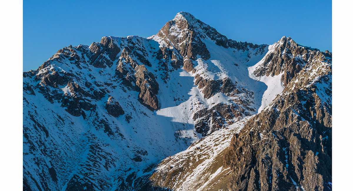
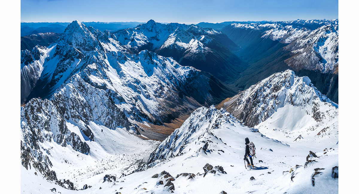
On the North ridge at 2,250m, looking back to our route along the NE ridge (right), the Travers Valley (centre), Mt Hopeless (2,278m, mid left) and Mt Cupola (2,260m, left)

A view from 2,250m to Mt Cupola, with Gunsight Pass (1,880m) catching sunlight directly beneath the summit


A view south to Jim just north of the summit


Upper Travers Hut, a tad more than 1,000m below us, viewed from the summit of Mt Travers (2,338m) - so close, yet so far. 6 hours up, 7 hours (for me) down, because the Summit Creek route requires a drop down to 1,000m before climbing back up to Upper Travers Hut

The summit view north

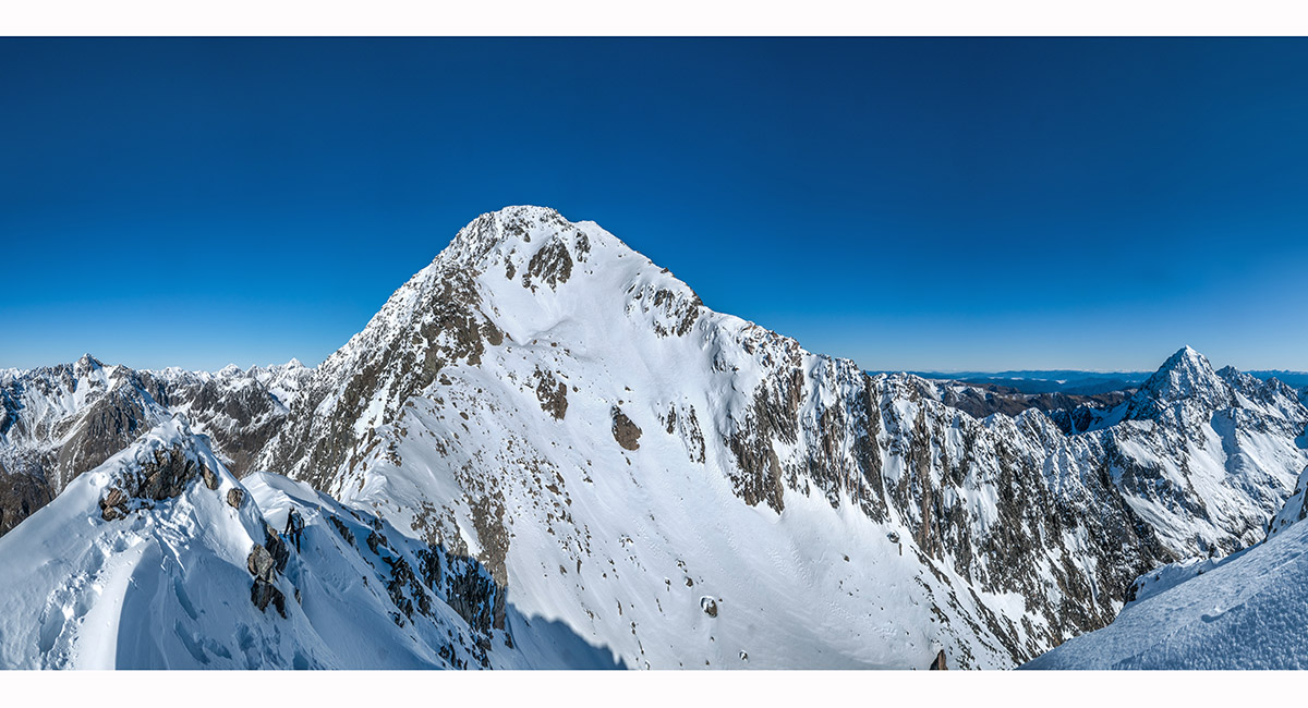
To the south west, Mt Franklin, just 2 metres taller than Mt Travers, making it the highest peak in Nelson Lakes NP

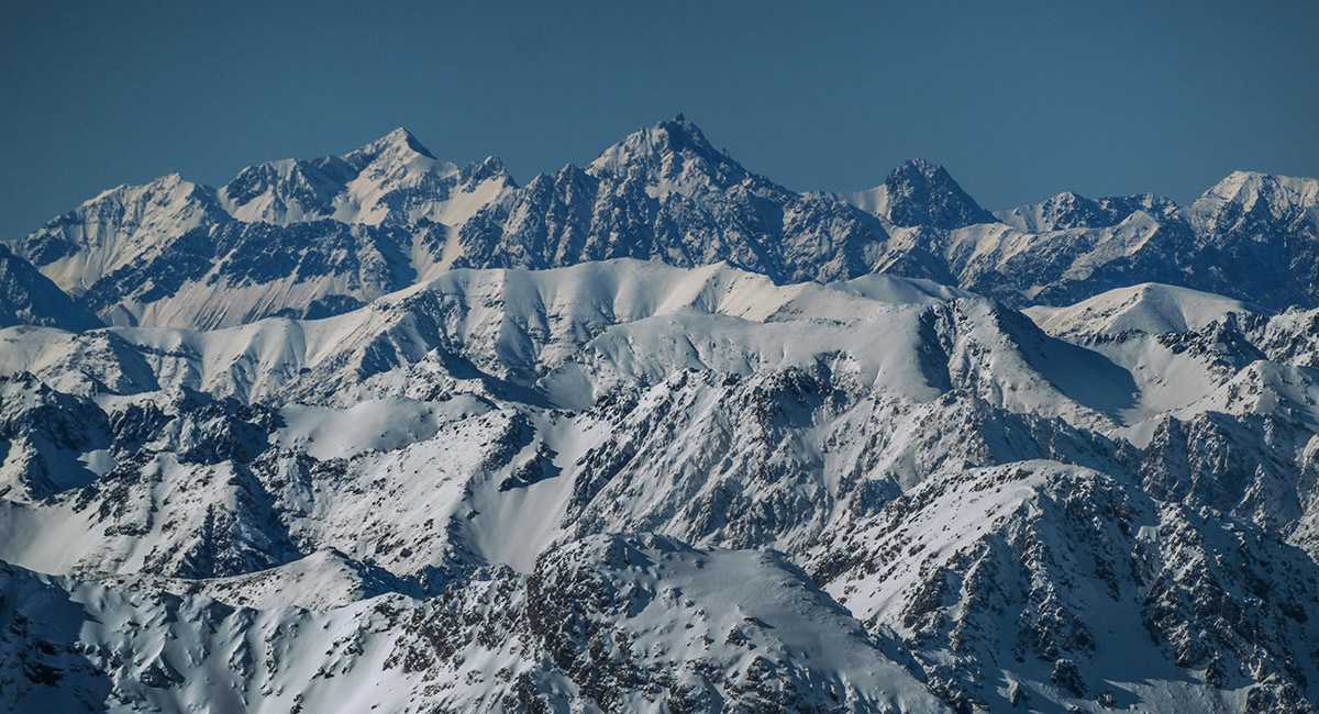
A view directly east, from left, to Pinnacle (2,720m) Tapuae-o-Uenuku (2,885m), Mt Alarm (2,877m) and Mite Peak (2,621m)

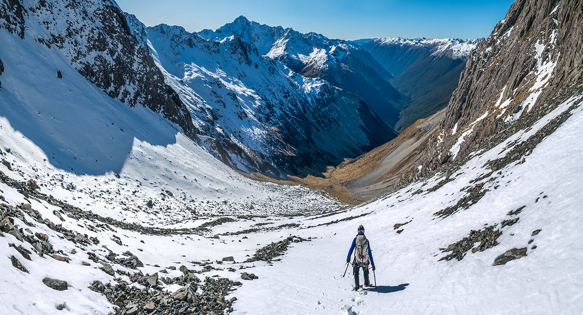
Beginning our descent, first retracing our steps to 2,250m where we'd reached the north ridge via the west face

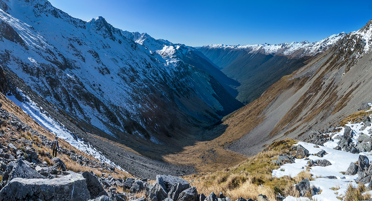
On the look out for a way down to Summit Creek, at left

Jim about to begin a steep 200m descent (mostly facing in due also to balling snow) to the head of Summit Creek basin

Descending, with Mt Cupola (left) and Mt Hopeless (right)

Down in upper Summit Creek Basin at about 1,900m

A view back up our descent route from about 1,850m - the snow just right of the big rock buttress (the north ridge) far left

At 1,700m, about to descend 200m of steep tussock to reach the Creek

At times the descent took us into the Creek itself

Dawn next morning - Upper Travers Hut and Mt Travers

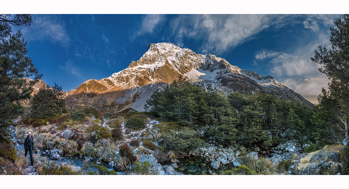
About to head into the beech forest on our walk out - a last look at what is quite a big mountain

Read about it Climbing Mt Travers NZAC Nelson Marlborough Section News Feb 2025

To order a print or web resolution file of any image you see in this slide show, just right click the image, click “Copy Image URL” and paste in to the “Your message” box of our Contact Us form. Please also note, for each image, if you want a print or web resolution file. We will get back to you as soon as possible to confirm price and payment details.Open Contact Us in a new window to paste Image URL(s) easily