Xenicus Peak and Mt Gibbs, November 2024
Occasional Climber > See Images > See New Zealand – South Island > Kahurangi Tasman > Xenicus Peak and Mt Gibbs, November 2024
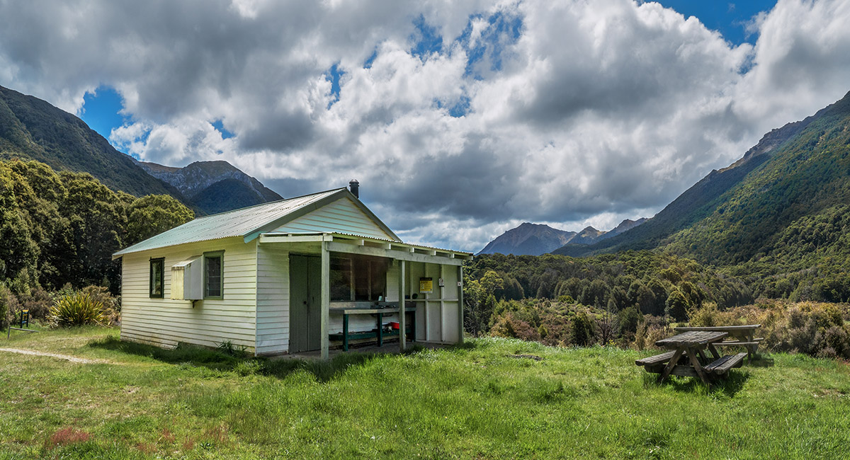
Trilobite Hut (830m)

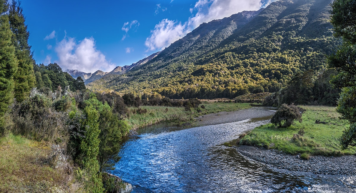
A view north of Trilobite Hut, looking north, beside Cobb River

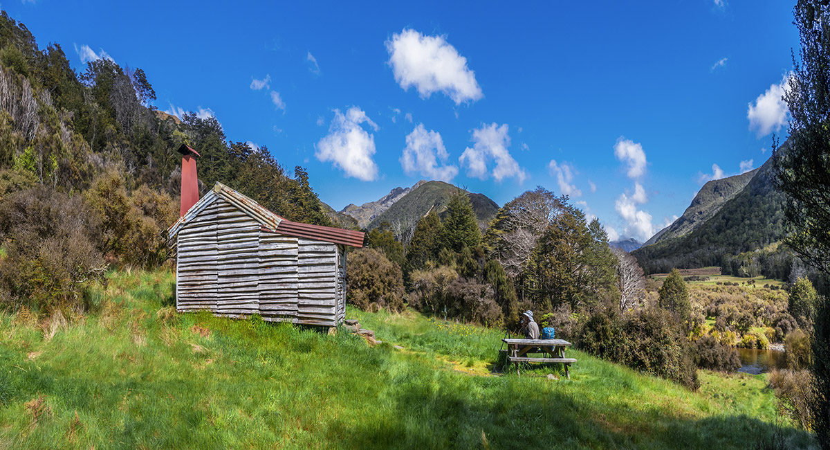
Chaffey Hut (880m)

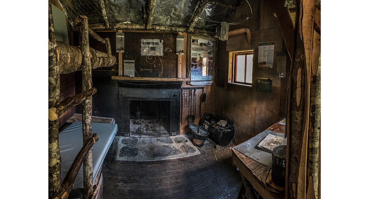
Inside Chaffey Hut

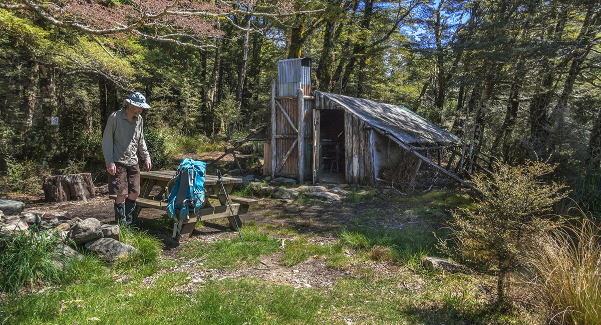
Quirky Tent Camp (930m)


Inside Tent Camp

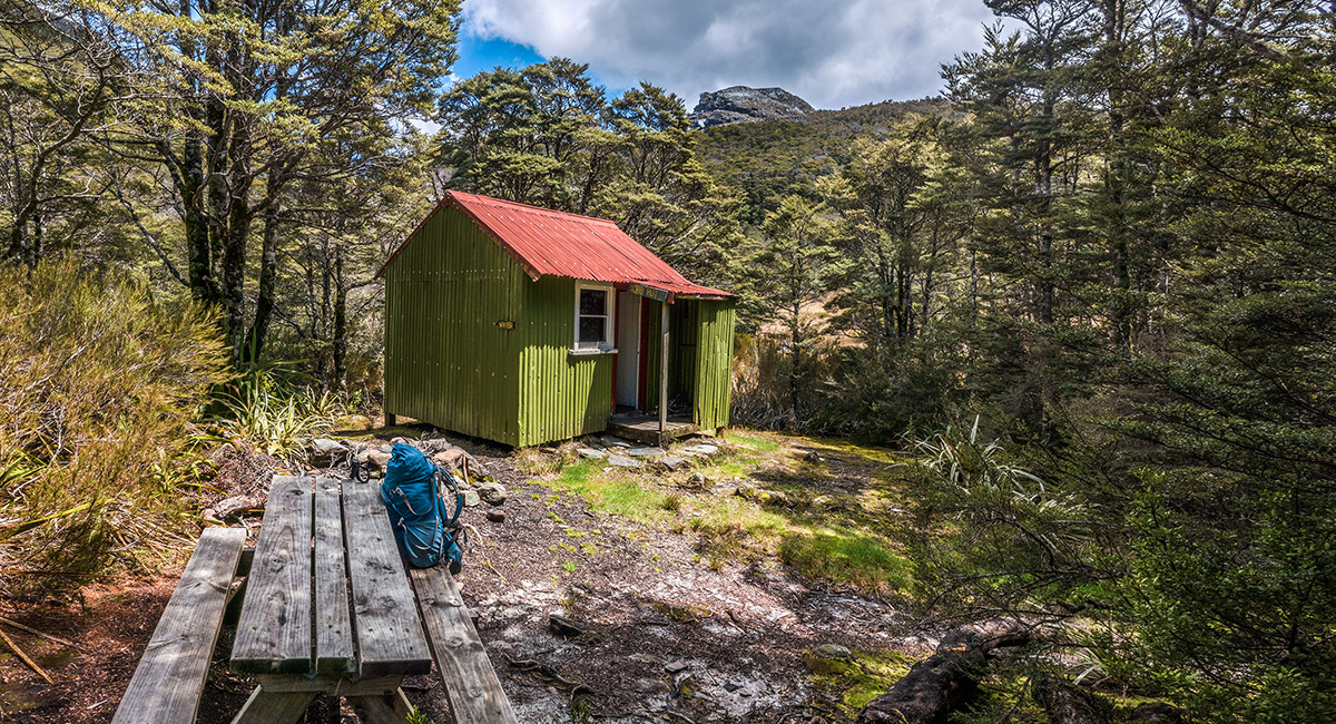
Cobb Hut (1,020m), Xenicus Peak behind

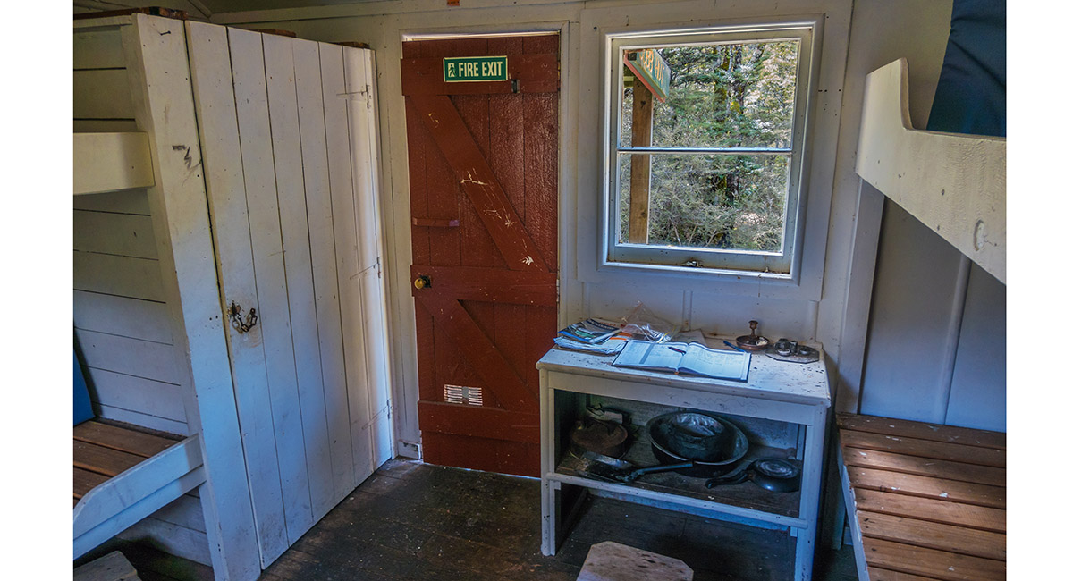
Inside Cobb Hut

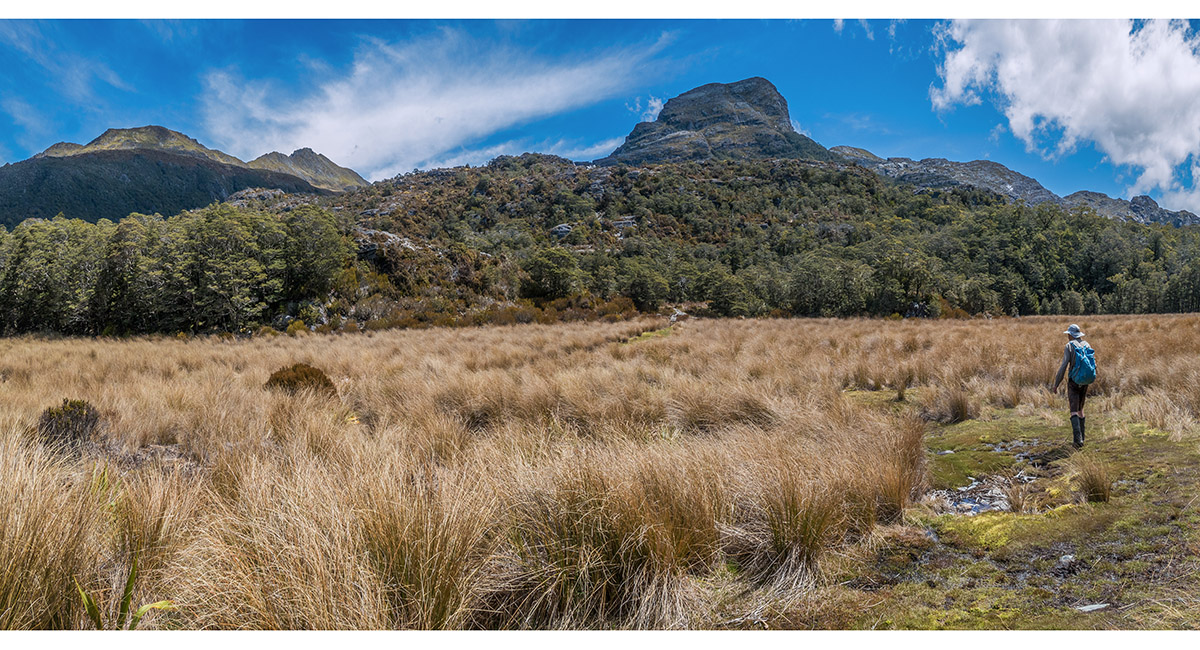
Just north of Fenella Hut, looking west to Xenicus Peak (1,545m)

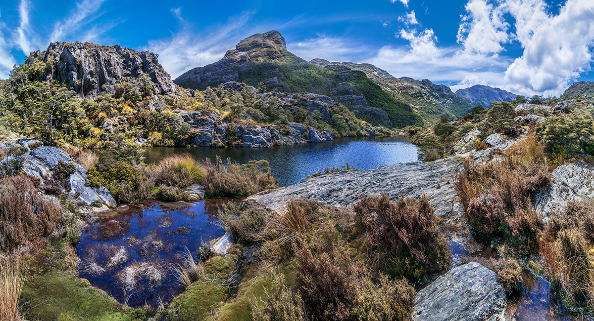
Xenicus Peak, viewed across the tarn above Fenella Hut


A view from Pt 1186, west to Xenicus Peak (far right), Cobb Lake (1,089m, right of centre), Peel Range (centre) and Cobb Valley and Lockett Range (left)

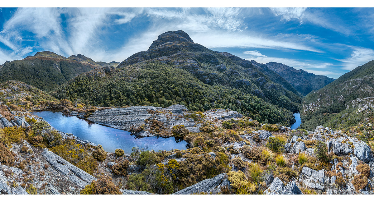
A view of Xenicus Peak across a small tarn near Pt1186

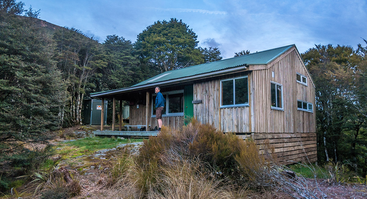
Fenella Hut (1,090m)

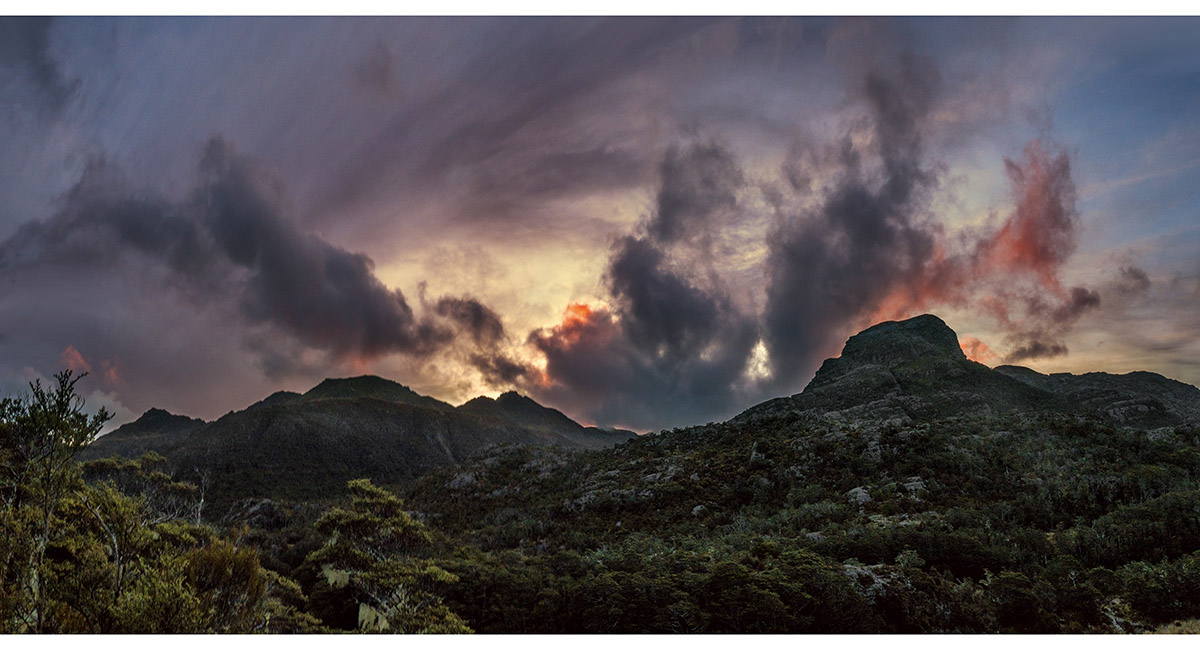
Xenicus Peak at sunset, near Fenella Hut

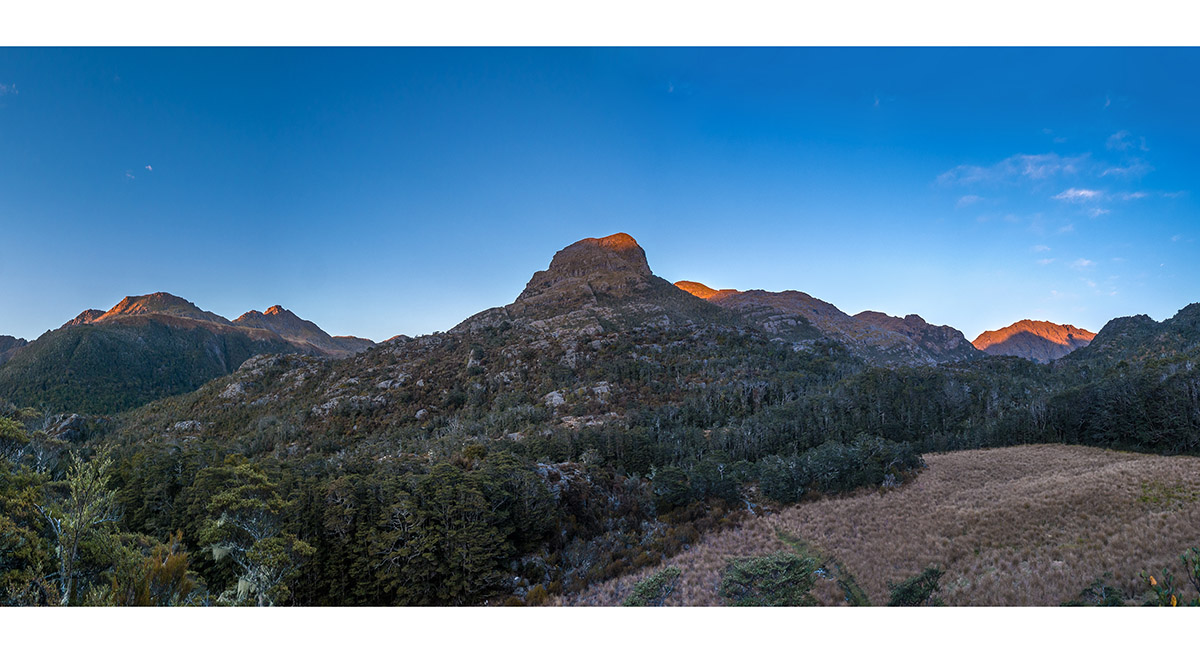
Xenicus Peak (centre) at sunrise, near Fenella Hut


Dragon's Teeth (1,663m, right of centre) and Anatoki Peak (1,662m, right of Dragon's Teeth), viewed en route to Pt1186

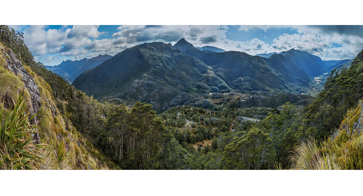
A view on the climb of Xenicus, just above the treeline, with Dragon's Teeth left, Waingaro Peak (1,604m) centre and Cobb Valley right

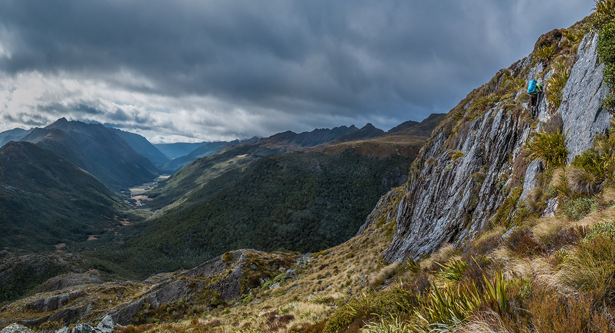
At about 1,400m on the east side of Xenicus Peak

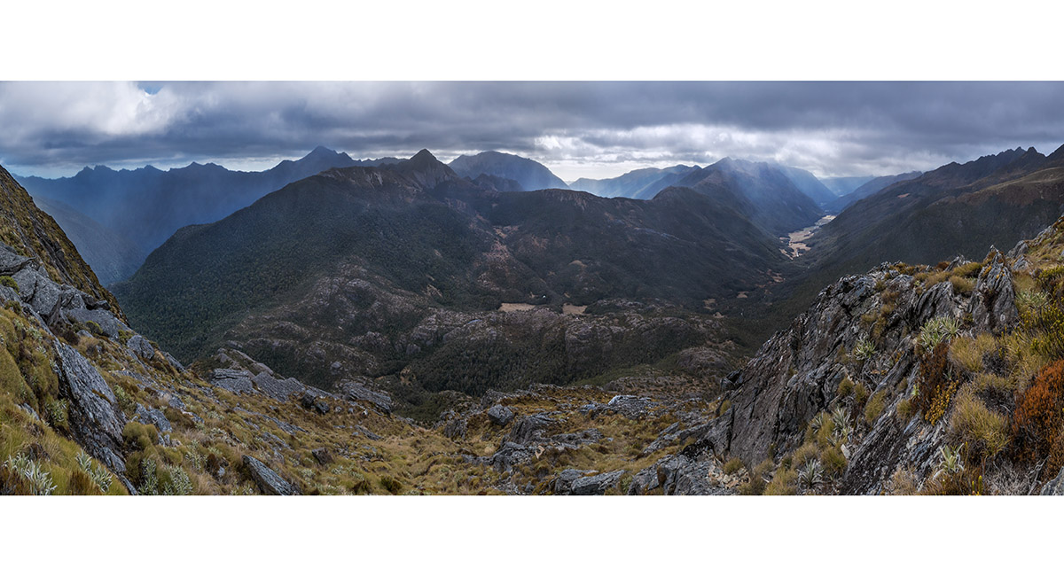
At about 1,470m on Xenicus Peak - Dragon's Teeth far left/north and Cobb Valley far right/southeast

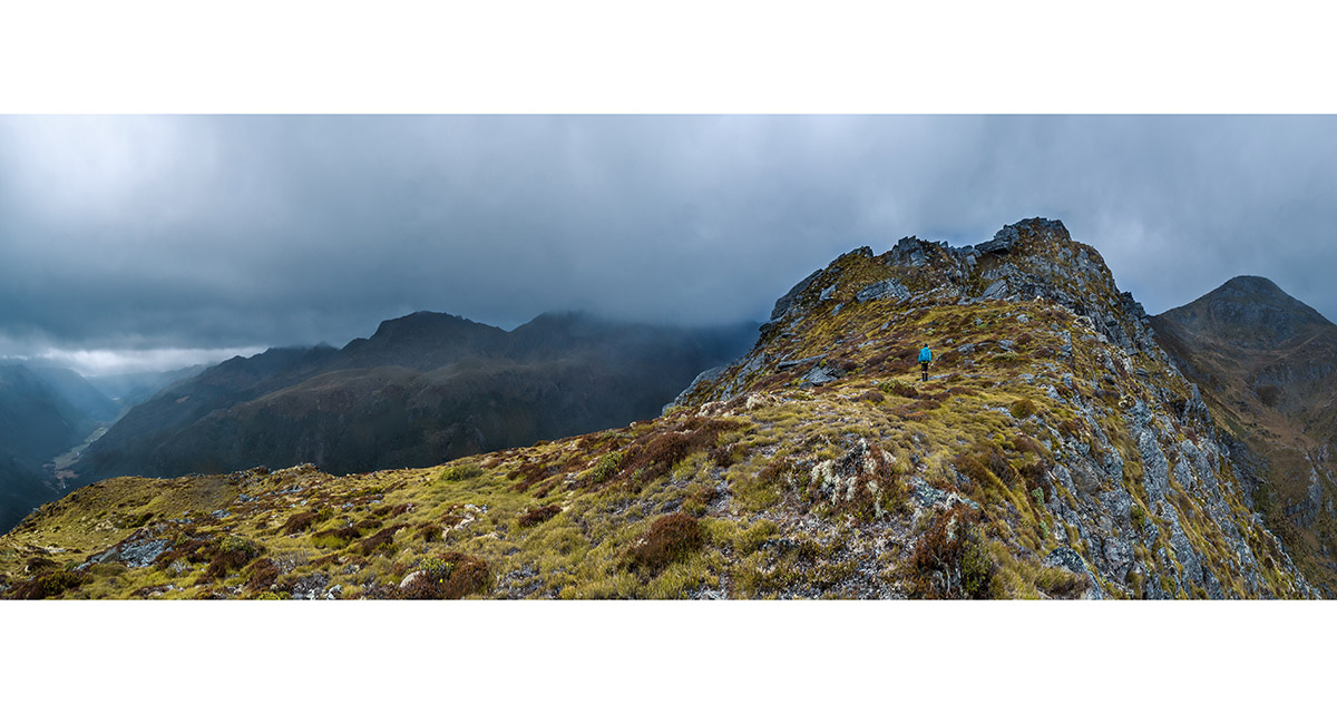
On the top of Xenicus Peak, looking west to the true summit at 1,545m. Mt Gibbs is right and Cobb Valley far left

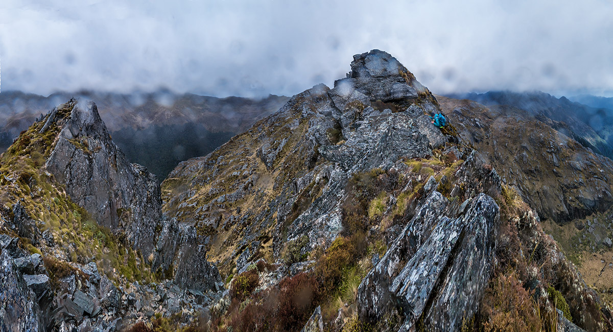
Nearing the true summit of Xenicus Peak in rain and strong squalls - the weather changed from fine to this in a matter of about an hour

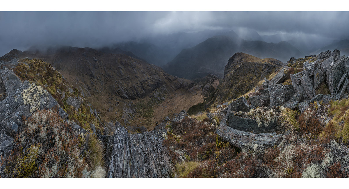
A summit view into the basin north of Xenicus Peak. This is where we descended to, from the west side of Xenicus Peak, to escape the bad weather

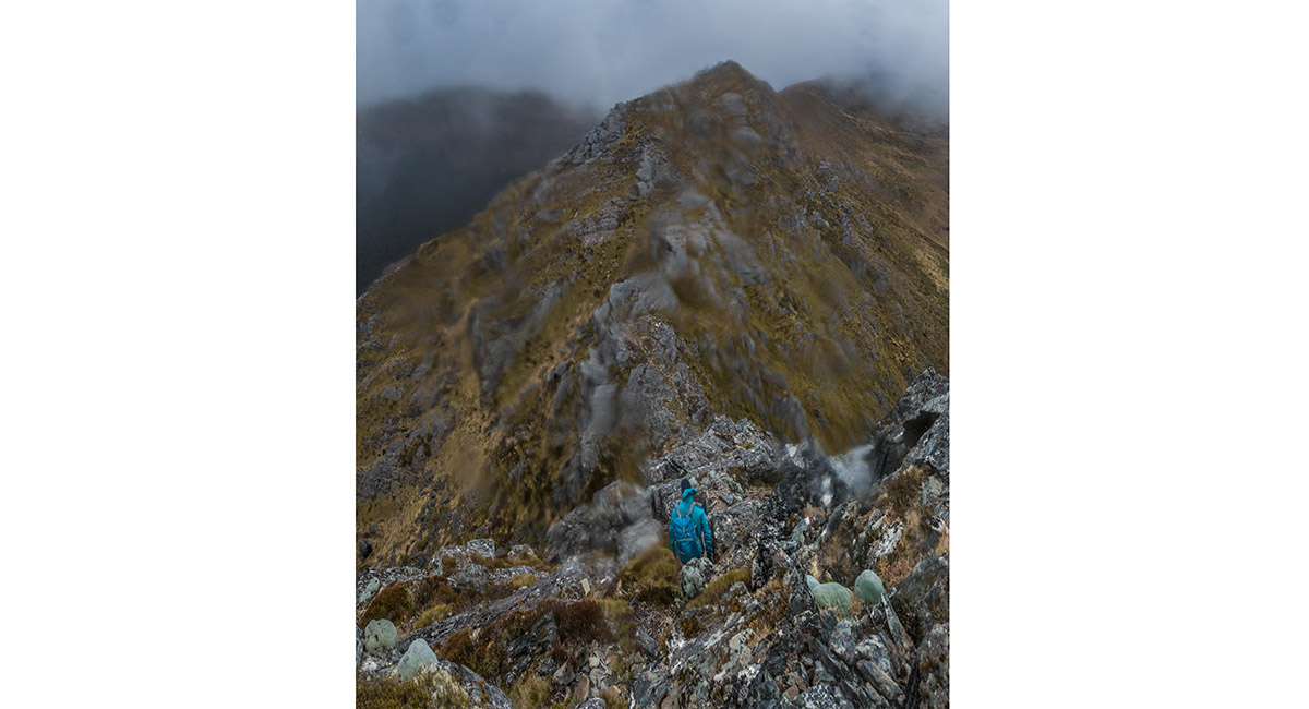
Bruce descending the steep west side of Xenicus Peak to reach a small saddle giving access to a gut we descended into

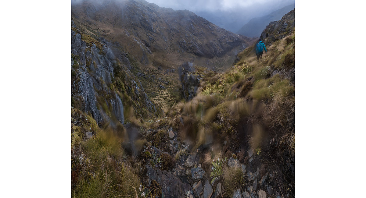
Trying to get into the gut on our descent, now in slippery conditions


Down at about 1,300m in the basin north of Xenicus Peak. Waingaro is centre

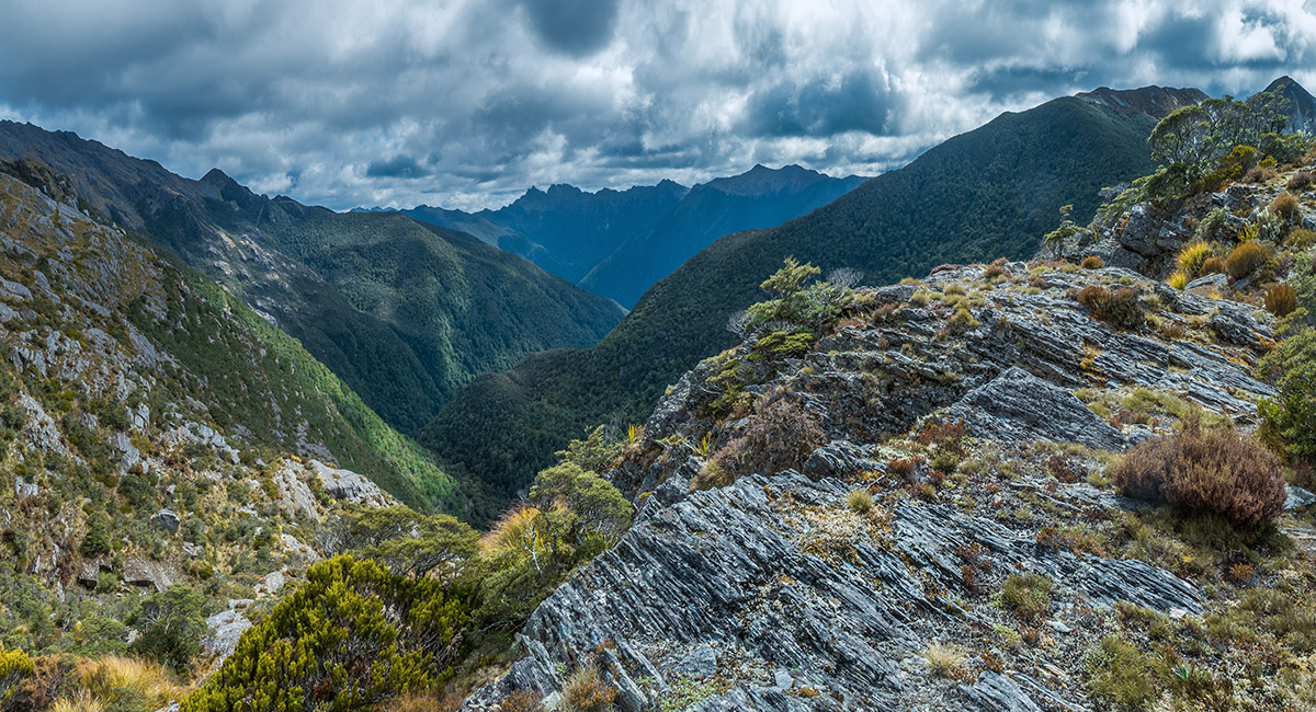
As the weather began to clear again Dragon's Teeth came back into view, here from northeast flanks of Xenicus Peak at about 1,200m

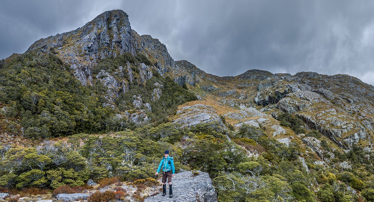
A view back to the very steep north face of Xenicus Peak


The eastern end of Cobb Lake (1,089m), Xenicus Peak behind

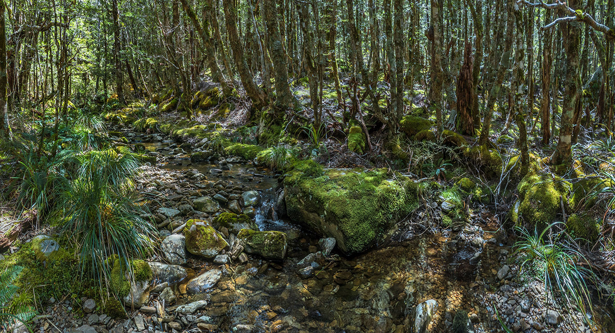
Beech forest at 1,100m on the trail between Cobb Lake and Round Lake

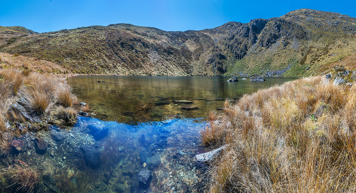
The southern end of Round Lake (1,300m) at the stream outlet, with Mt Gibbs (1,645m) far right


A view west from Mt Gibbs


The big summit view from Mt Gibbs. At centre is Xenicus Peak. Fenella Hut is below and left of Xenicus. The Douglas Range stretches left from Waingaro, to Kakapo and then on to Dragon's Teeth. Mt Snowdon is left of centre. Lockett Range and Cobb Valley stretch right, from behind Xenicus. Round Lake is bottom right and Peel Range stretches from right to centre

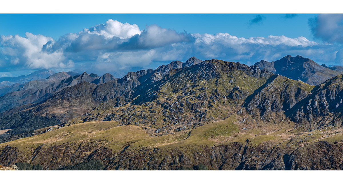
A view from Mt Gibbs to Peel Range

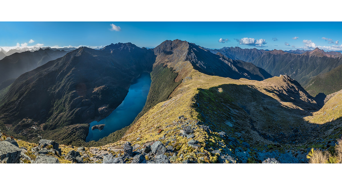
A view north from Mt Gibbs to Island Lake (1,210m) and Aorere Peak (1,730m) behind. Douglas Range right skyline

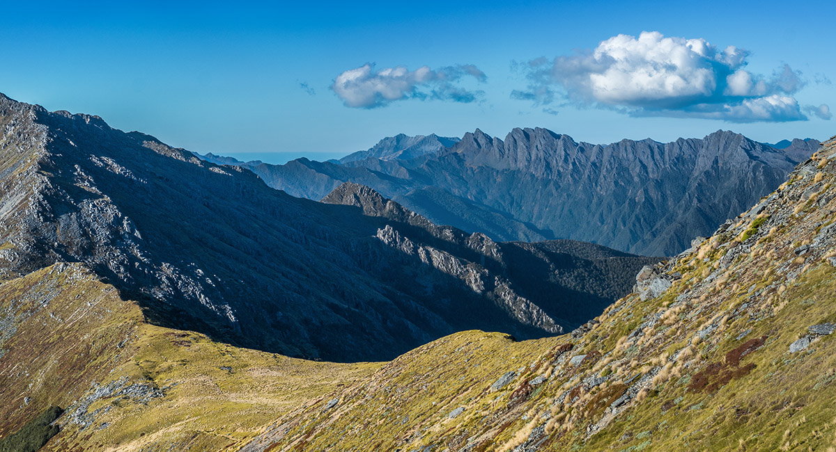
A closer look at Dragon's Teeth, Anatoki Peak and Douglas Range from the south side of Mt Gibbs

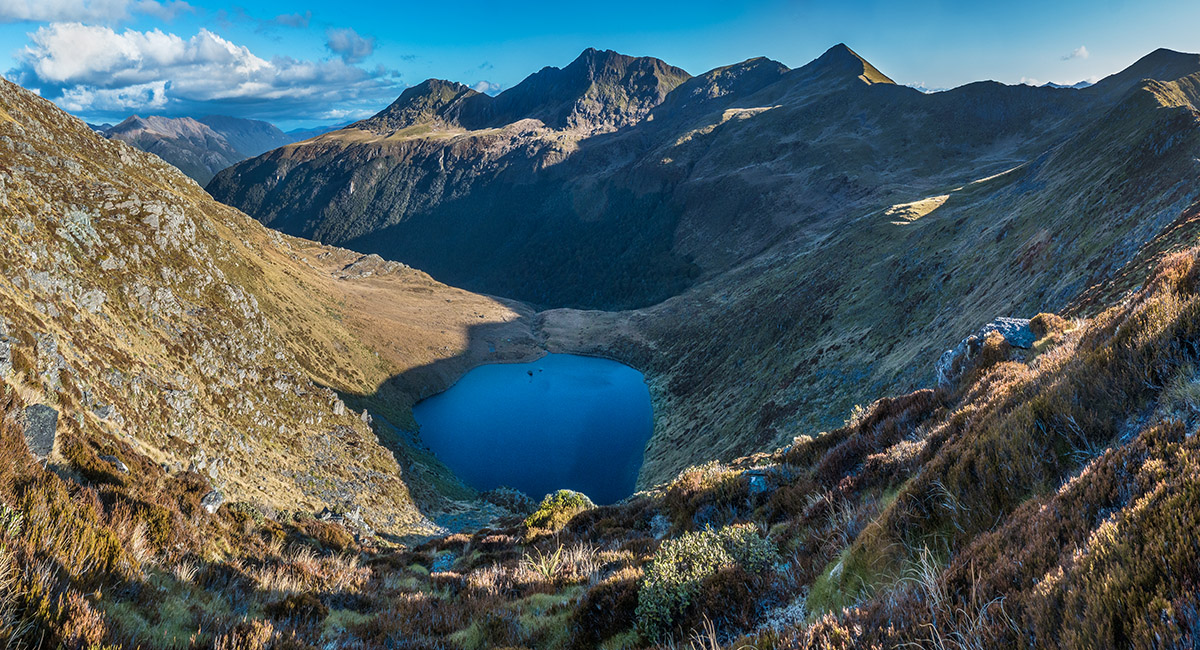
In the saddle between Mt Gibbs and Pt 1574, looking down to Round Lake, with Peel Range behind

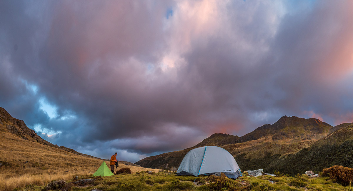
At our campsite beside Round Lake at sunset, Mt Cobb (1,716m) behind

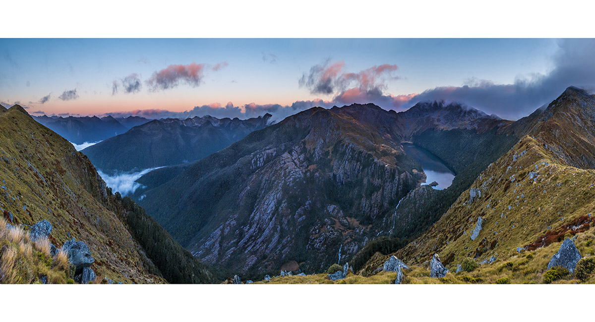
At dawn, back up on the ridge at Pt1574, looking left/west to Marshall Range, Domett Range centre and Island Lake and Aorere Peak in cloud right

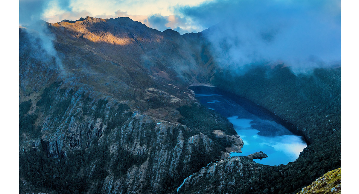
A closer look at Island Lake, with Pt 1662 sunlit, top left


A view to Round Lake on our descent for breakfast. Our tents are above the stream outlet point

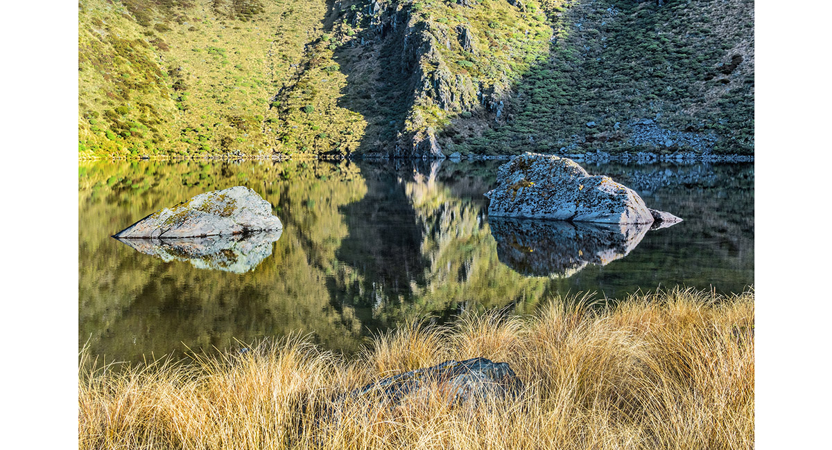
As the sun rose the dawn clouds cleared to reveal a mirror on Round Lake to enjoy over breakfast


A mirror reflection on Round Lake

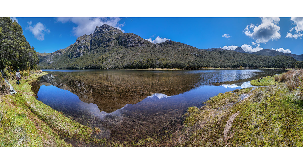
The mirror magic continued as we descended past Cobb Lake

Read about it Captivating Photography Dec 2024/Jan 2025 Captivating Photography Feb/Mar 2025

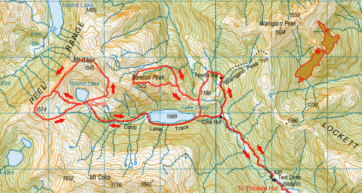
To order a print or web resolution file of any image you see in this slide show, just right click the image, click “Copy Image URL” and paste in to the “Your message” box of our Contact Us form. Please also note, for each image, if you want a print or web resolution file. We will get back to you as soon as possible to confirm price and payment details.
Open Contact Us in a new window to paste Image URL(s) easily
