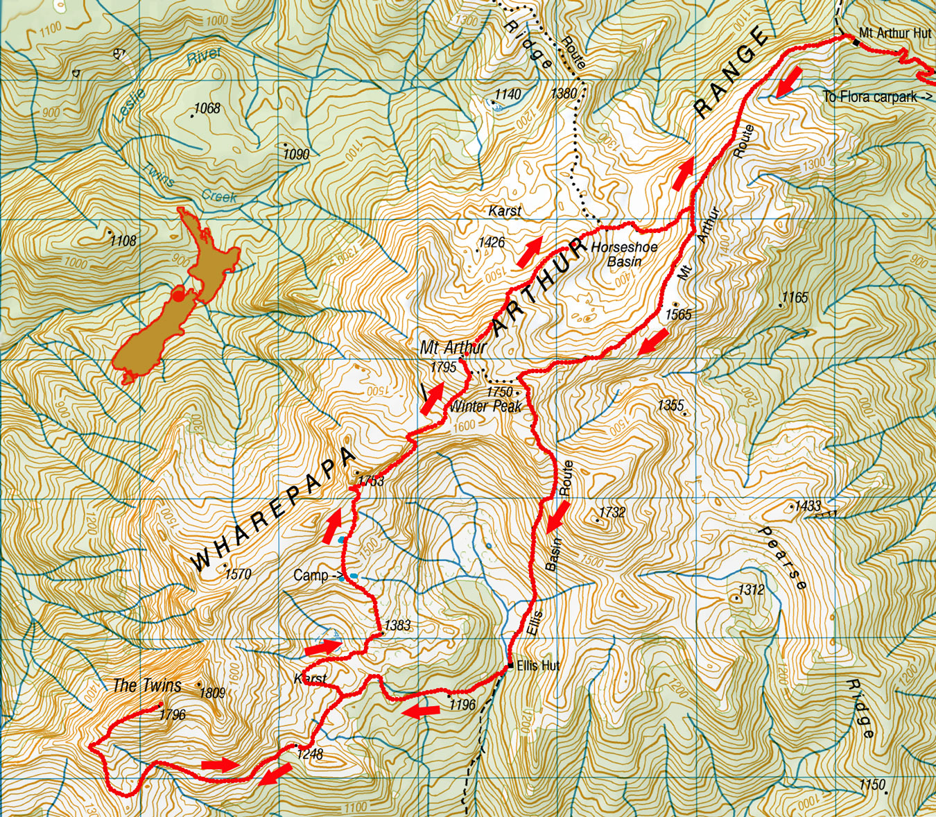
South Twin via Ellis Basin, March 2023
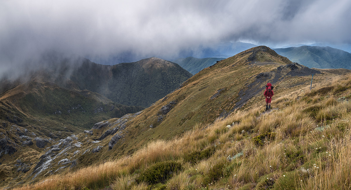
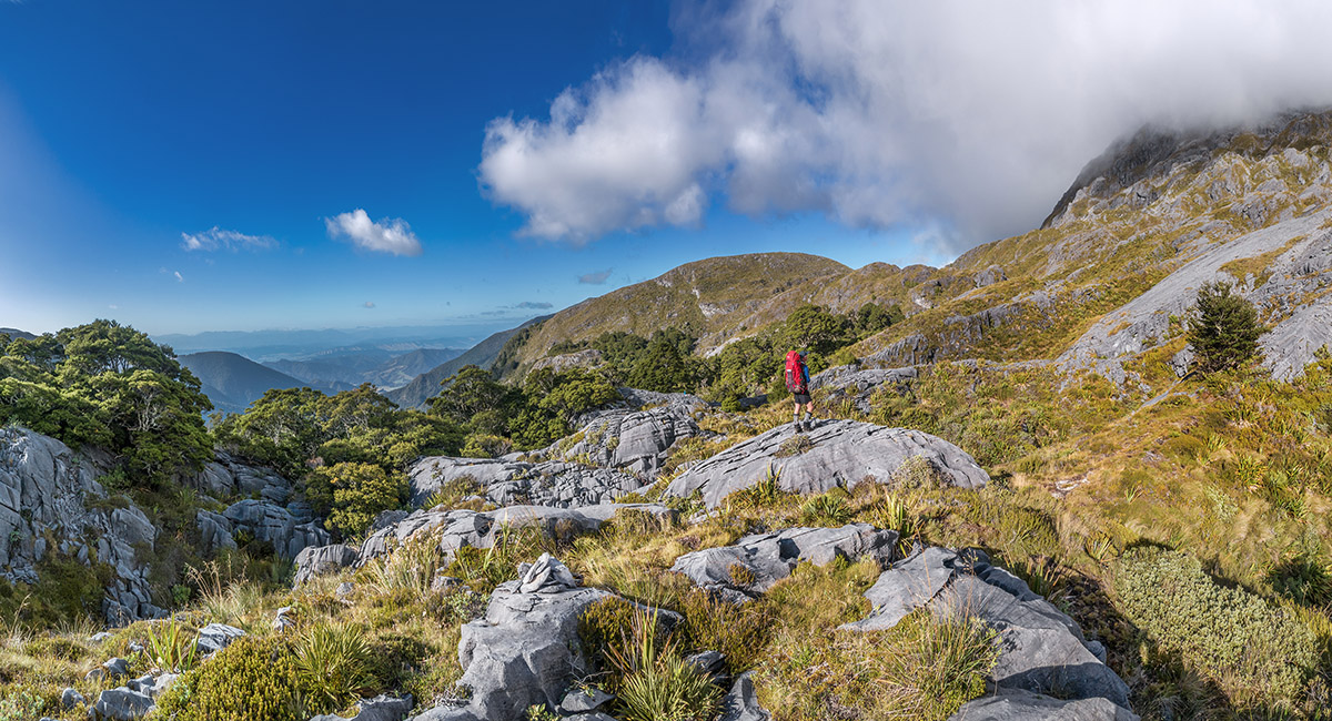
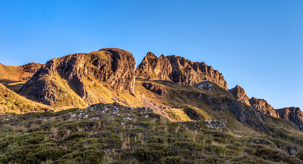
At about 1,500m on the Mt Arthur Route


At about 1,500m on the Mt Arthur Route

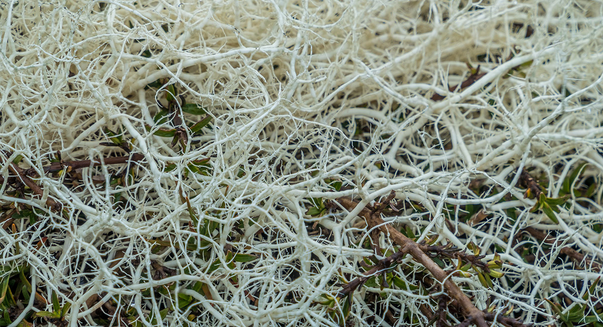
Alpine flora

At about 1,500m on the Mt Arthur Route, looking to Mt Arthur in cloud


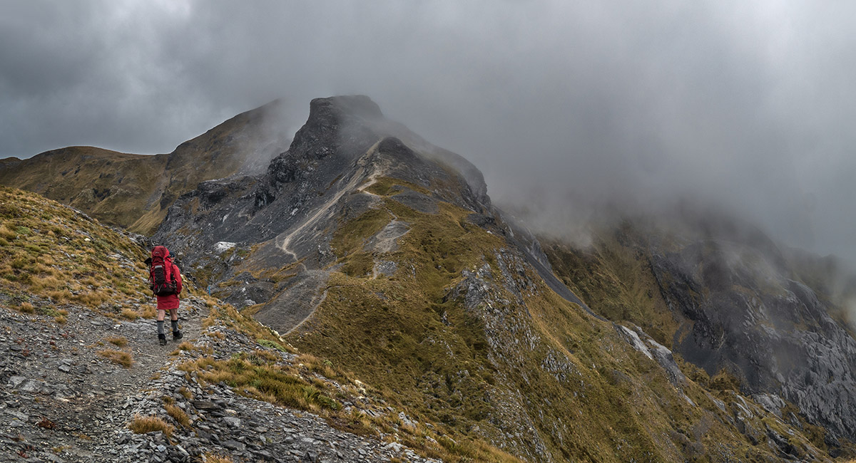
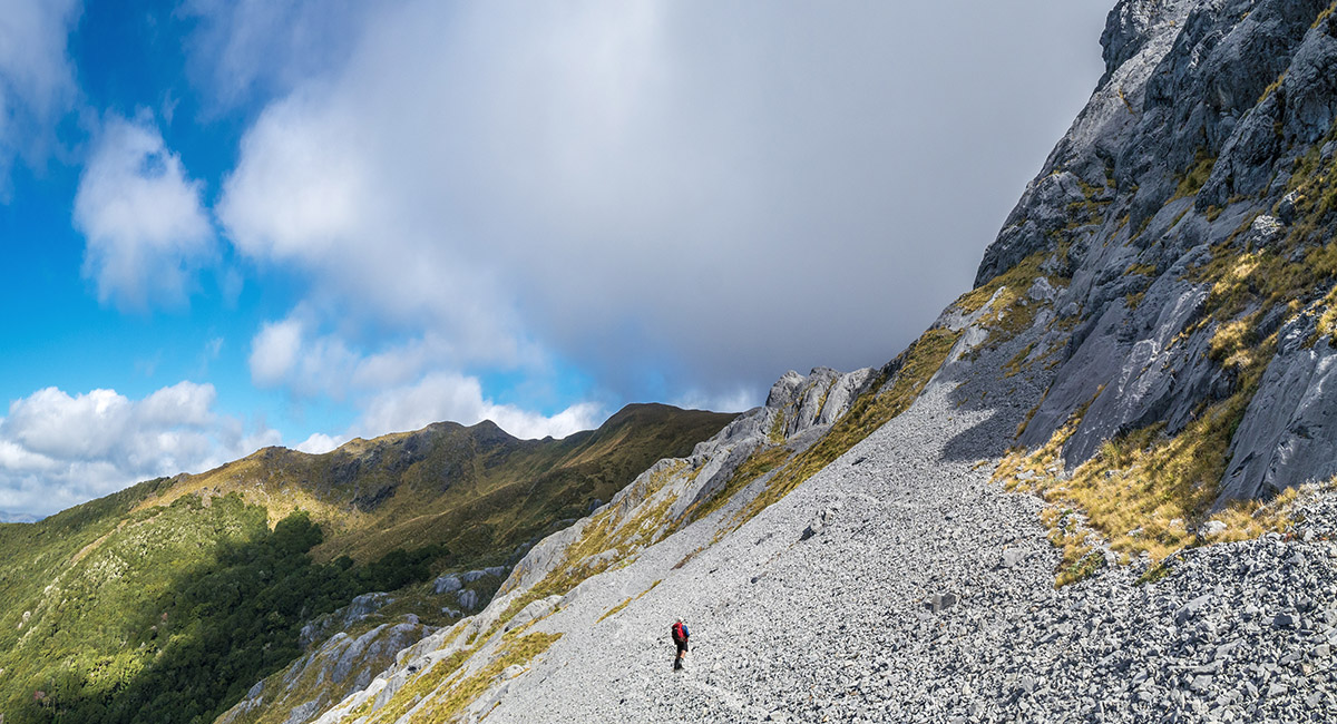
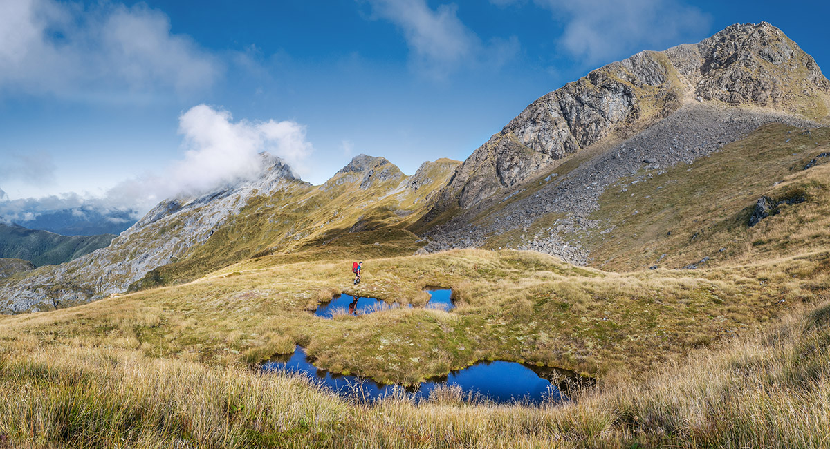
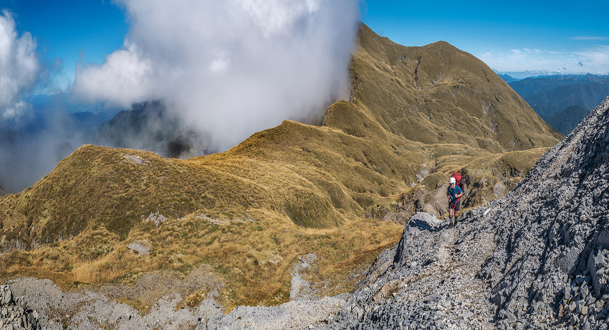
At about 1,650m on the Mt Arthur Route, beneath Winter Peak

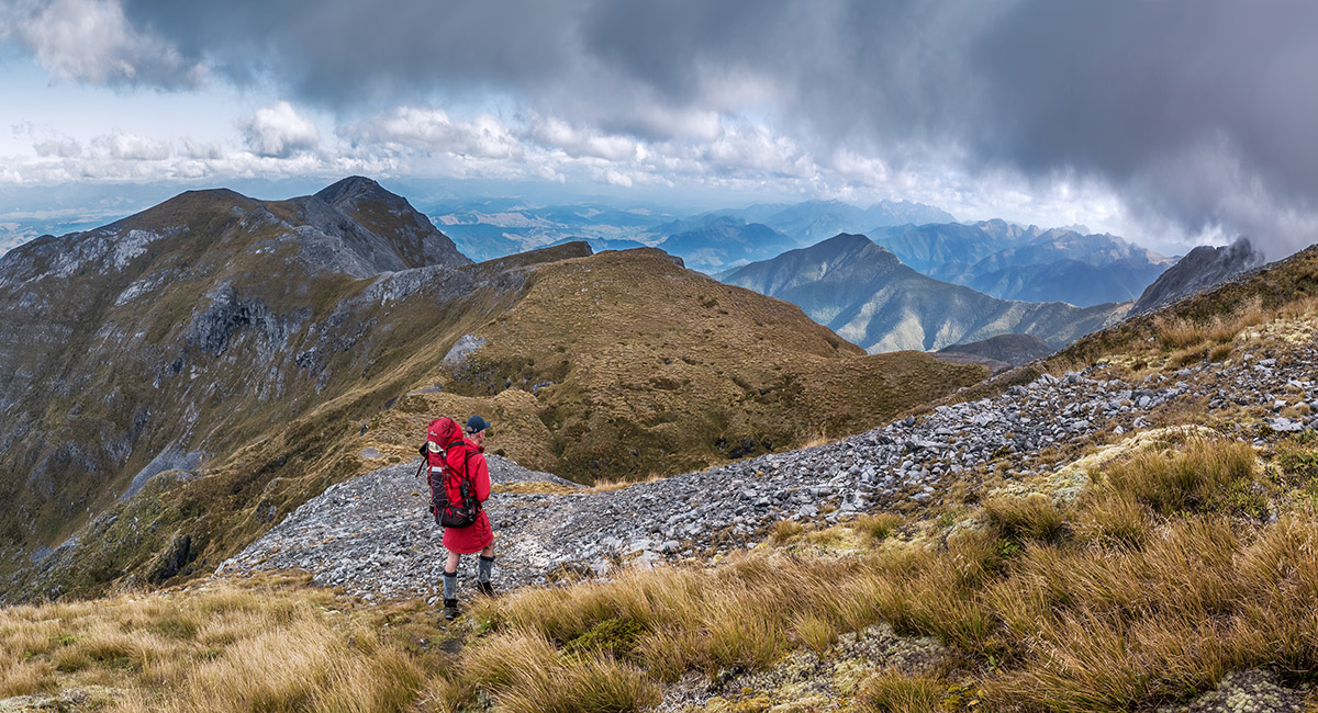
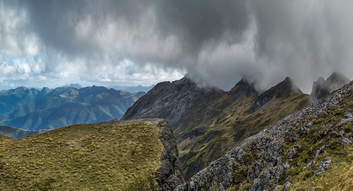
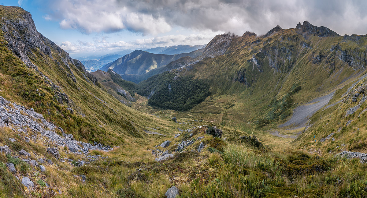
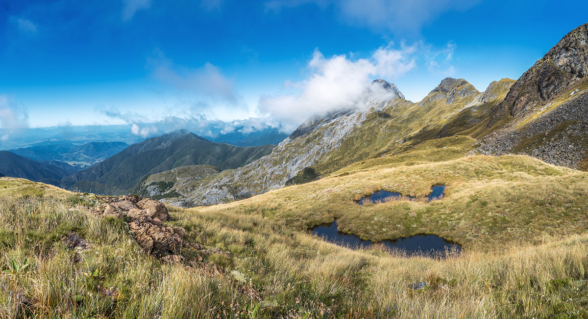
At 1,700m on the Ellis Basin Route, looking southeast to Point 1732

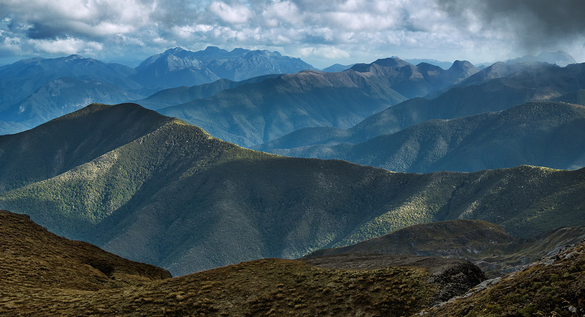
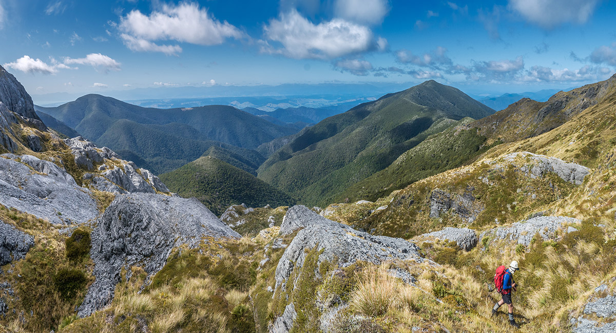
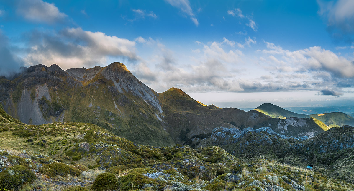
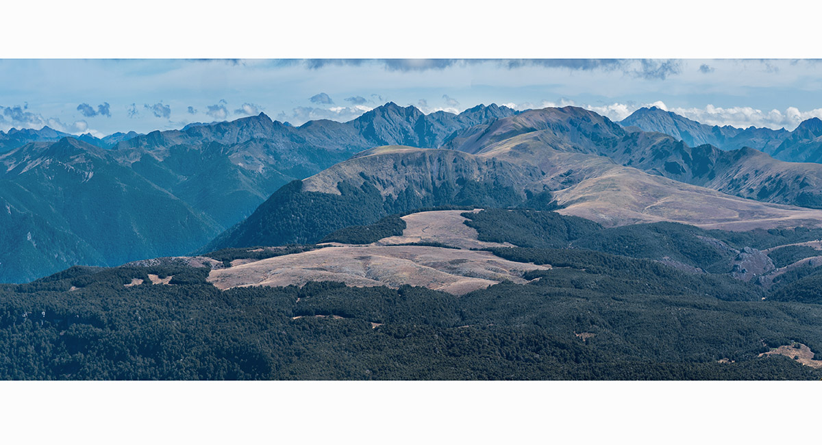
A view south to Mt Owen (1,875m)

A view southwest along the Arthur Range, with the Twins in cloud

At 1,700m on the Ellis Basin Route, looking northeast to Tasman Bay


At 1,700m on the Ellis Basin Route, looking southeast to Point 1732 (left)


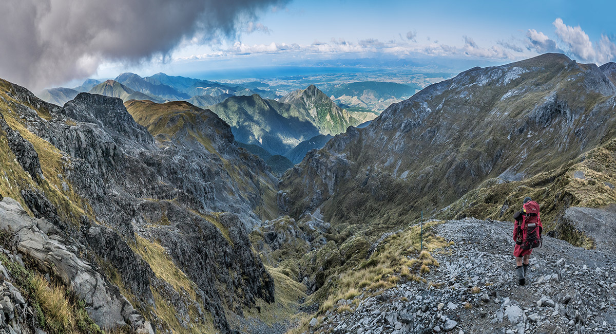
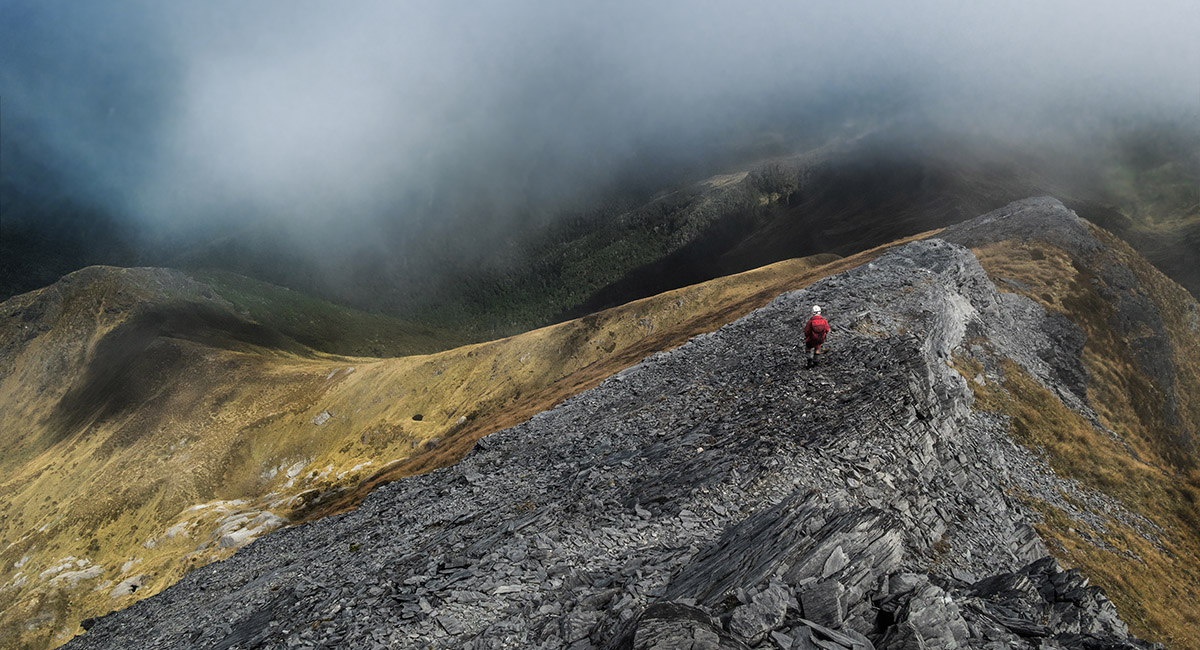
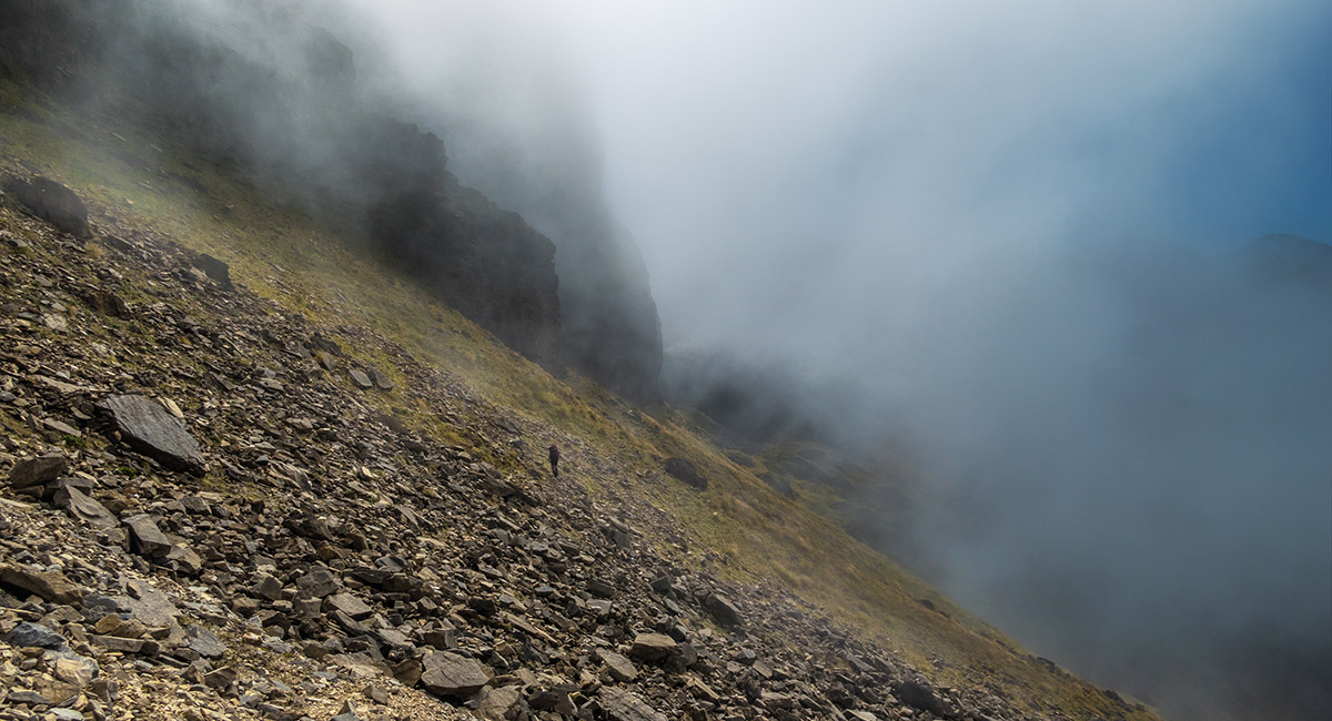
Shaun below at about 1,600m, dropping in to Ellis Basin

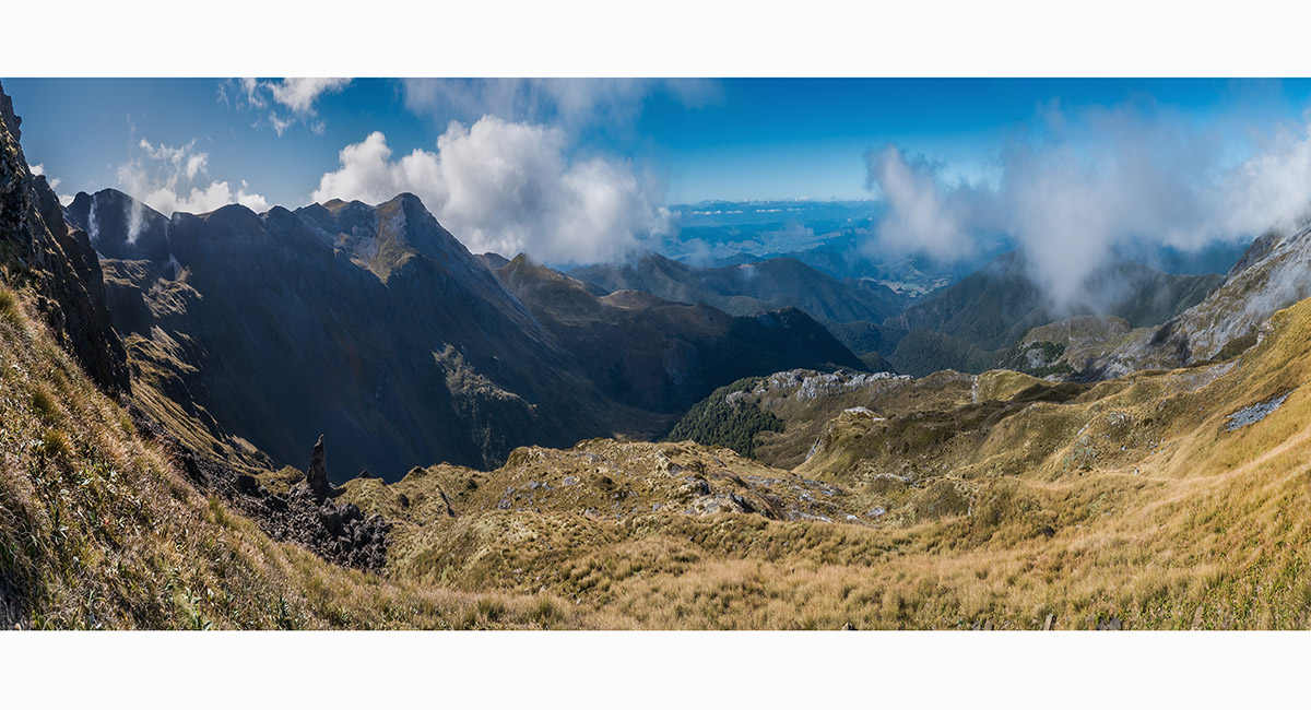
On the descent into Ellis Basin, with the Arthur Range stretching southwest in cloud at right

On the descent into Ellis Basin, with the Arthur Range stretching southwest in cloud at right. Ellis Hut is just in the bush where the valley floor comes to a point left of centre


Ellis Hut (1,100m)

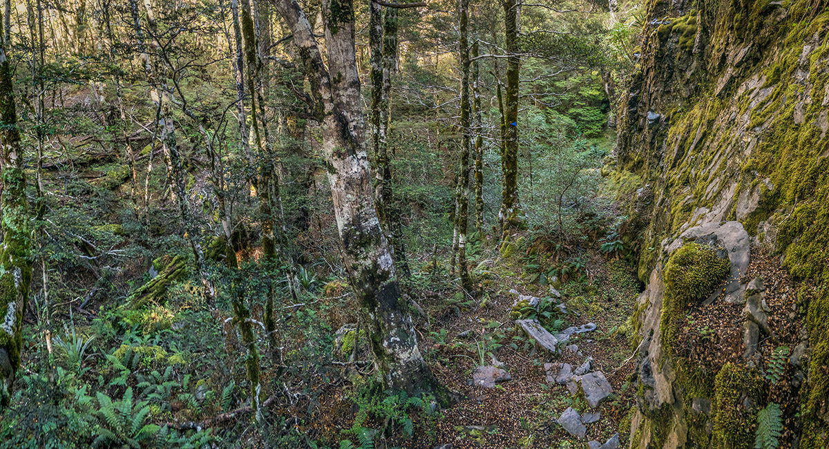
Ascending through 150 metre band of bush below the karst lands above

Nearing the bushline at 1,250m

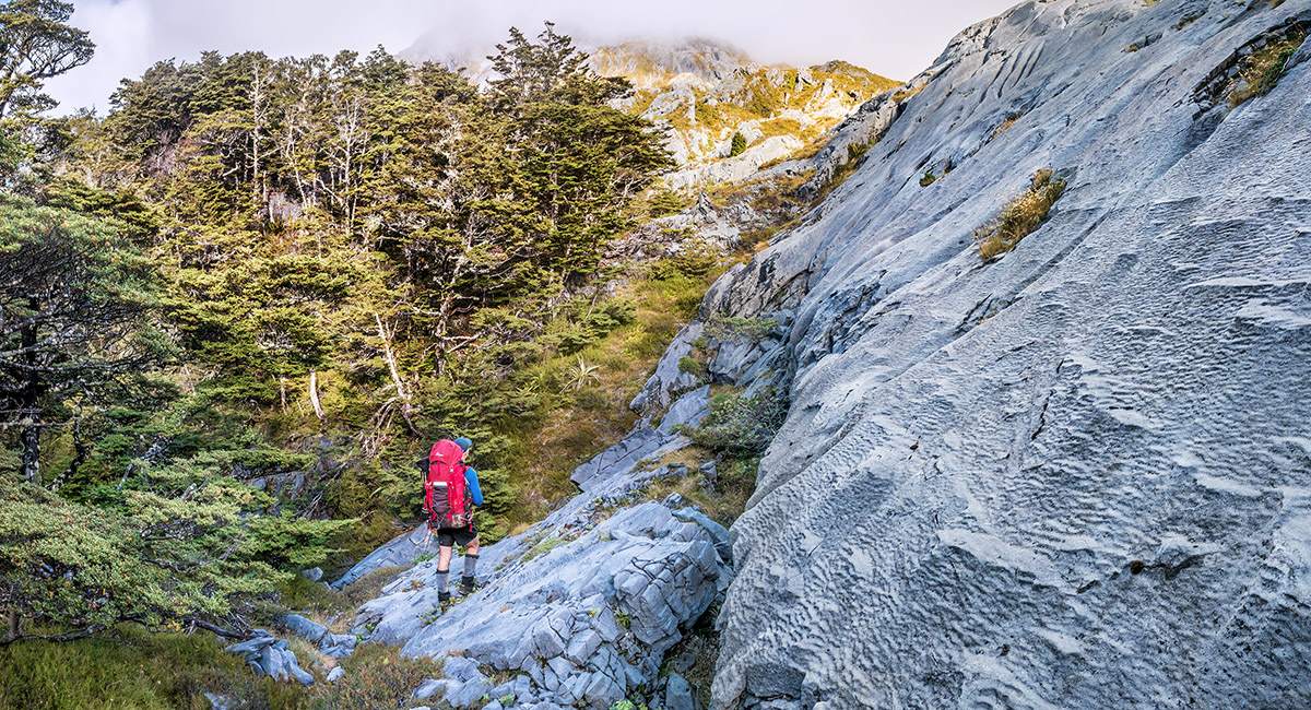
Traversing southwest on karst beneath North Twin

Traversing southwest on karst beneath North Twin

At about 1,200m, skirting beneath the southeast butress of North Twin. The Arthur Range stretches left

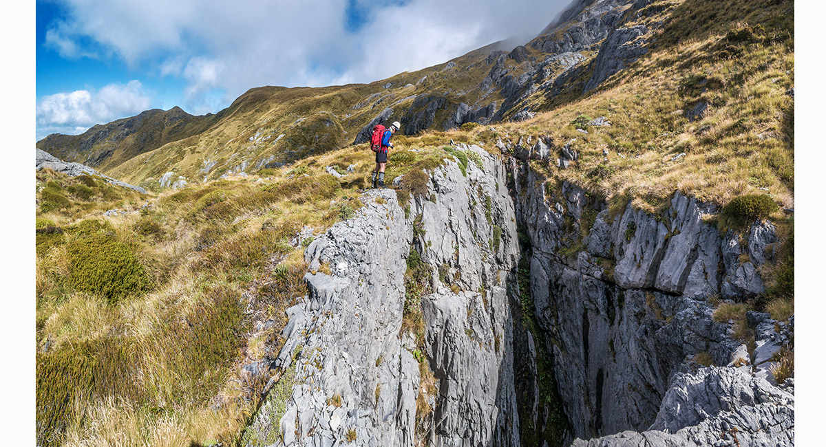
One of several impressive sink holes on the route around to the main range and west ridge of South Twin

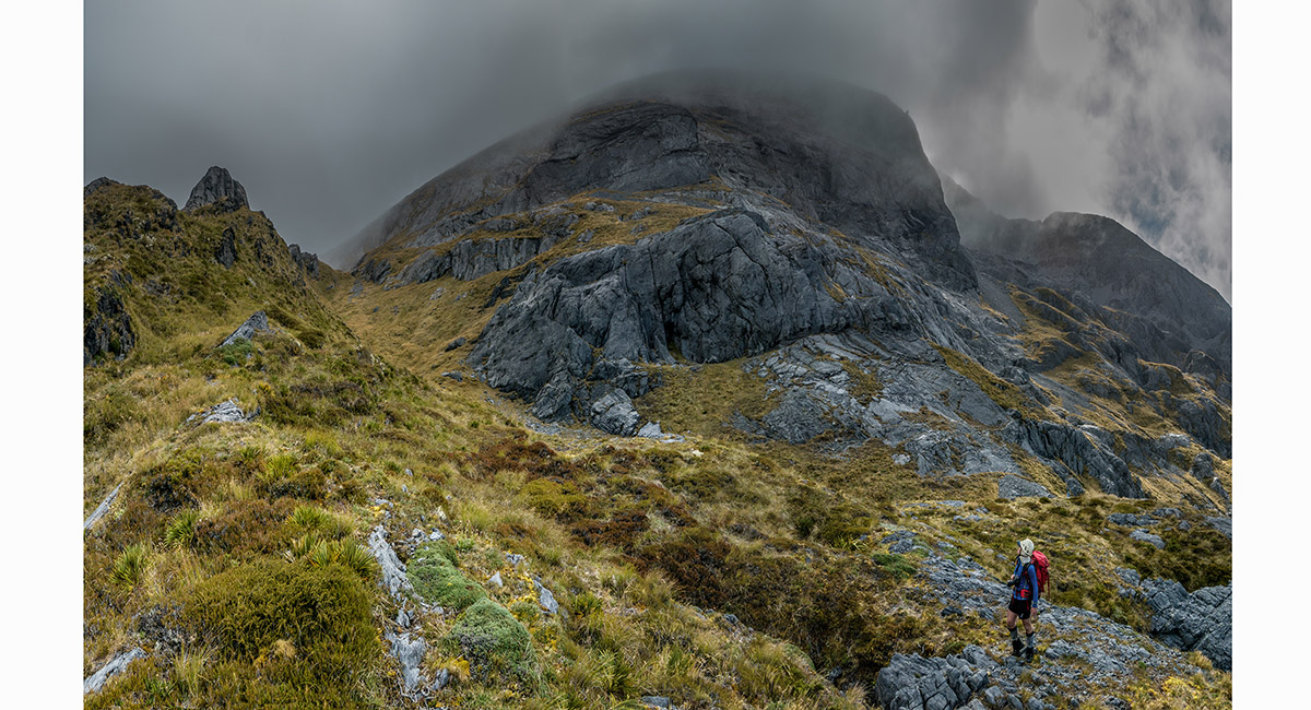
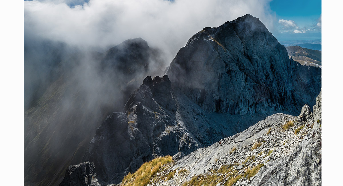
South Twin looms in cloud above

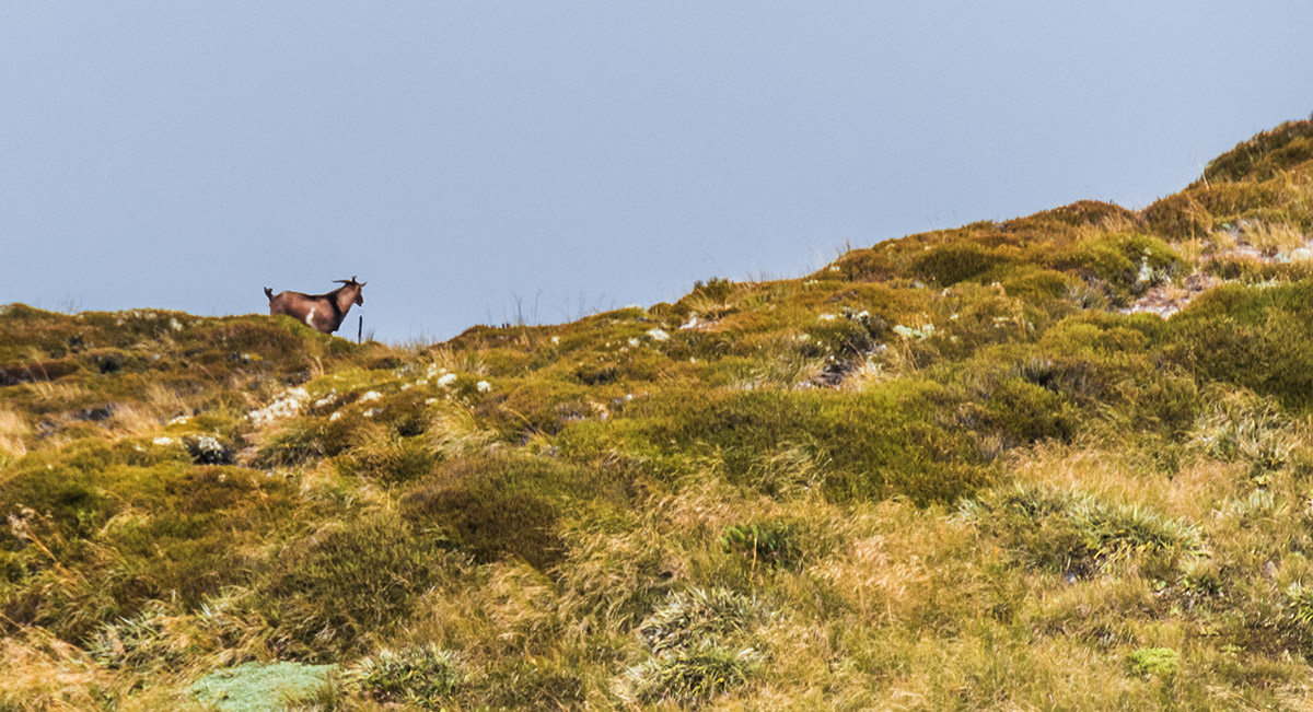
A local beats us to the 1,400m saddle at the base of South Twin's west ridge

A view east, back across the southern flanks of South Twin


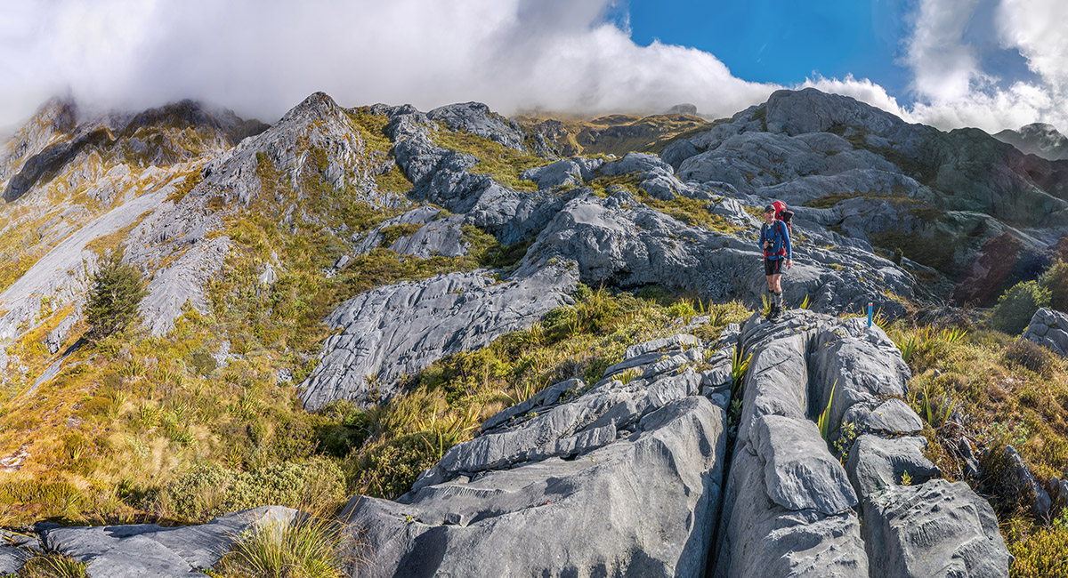
At about 1,500m, climbing the easy tramper's route up the west ridge of South Twin

At about 1,700m, climbing the easy tramper's route up the west ridge of South Twin

Looking northeast from just off the summit of South Twin (1,796m) to North Twin (1,809m)

Looking northeast from just off the summit of South Twin (1,796m) to North Twin (1,809m)

Looking northeast from the summit of South Twin (1,796m) to North Twin (1,809m)

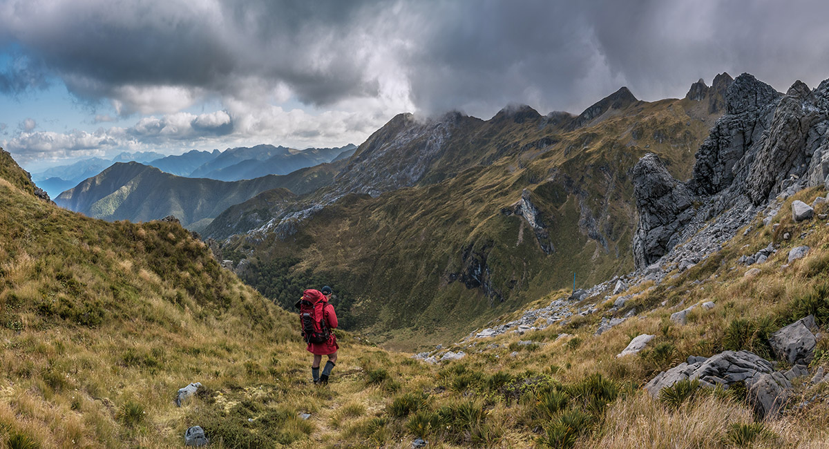
Descending the west ridge of South Twin


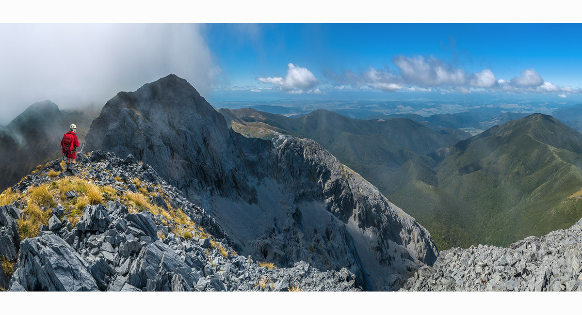
Descending the west ridge of South Twin, looking southwest along the Arthur Range

Back in the karst of Ellis Basin, with Mt Arthur on the distant left skyline and Point 1732 centre

A view east from about 1,400m in tussock beneath Point 1753 on the main Arthur Range directly to the north of us

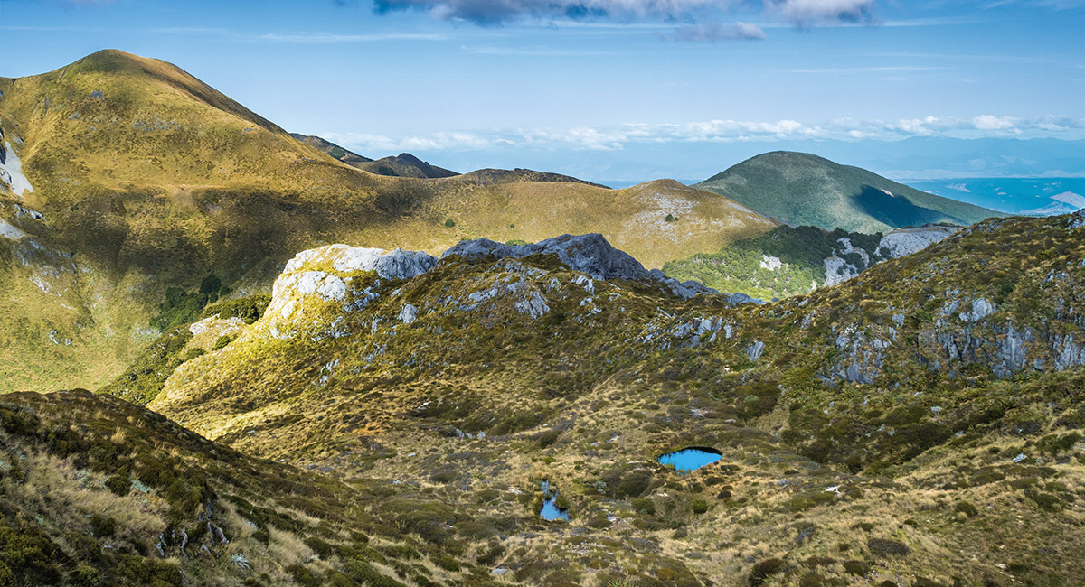
One of several nice tarns in the tussocklands beneath the main ridge

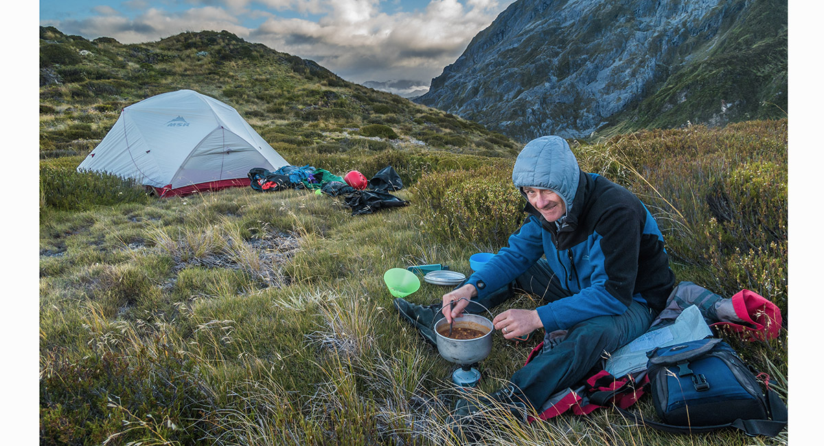
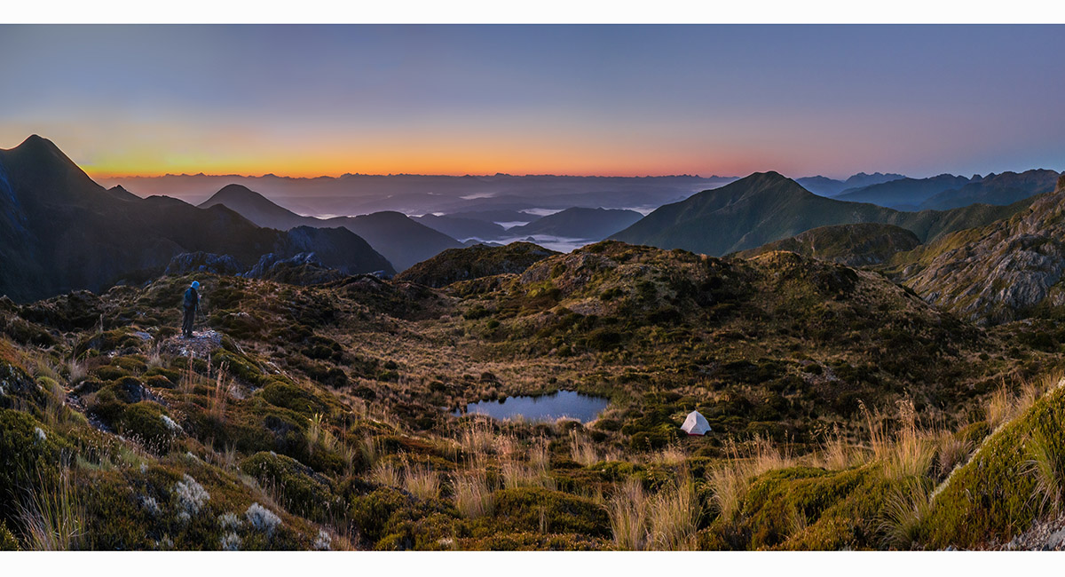
At our campsite beside a tarn at 1,400m

At our campsite beside a tarn at 1,400m, with North Twin in cloud at left

A dusk view from our campsite east to Point 1732, left of centre


Dusk mountain magic

Dusk light on the eastern flanks of North Twin

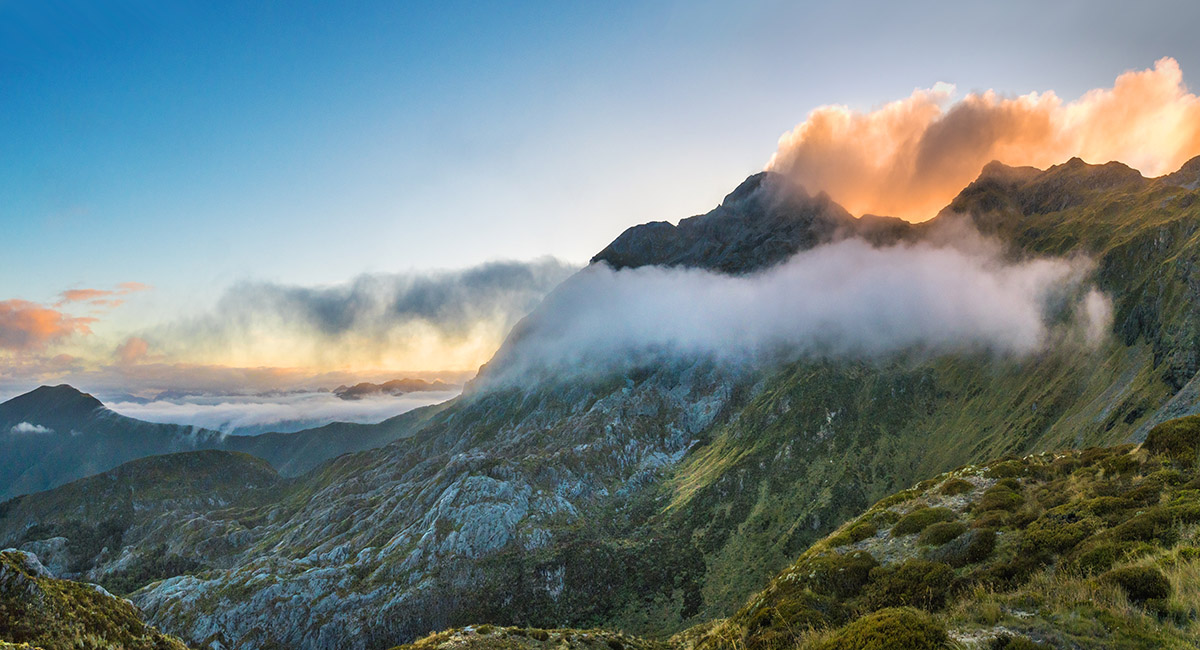
North Twin at sunset

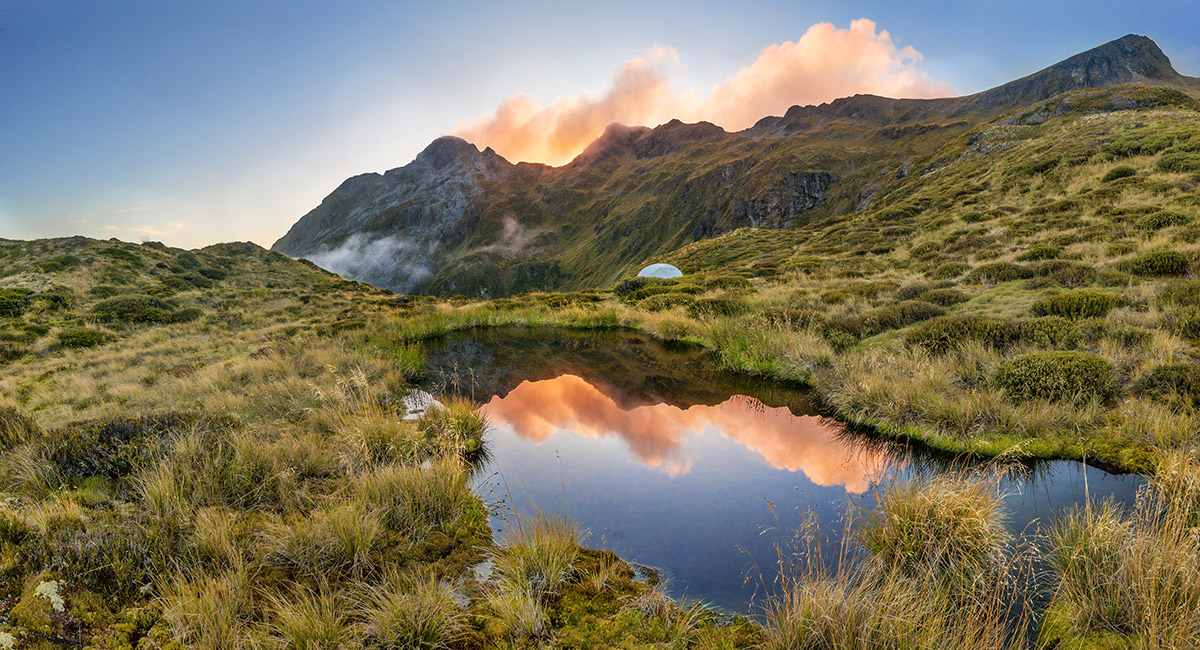
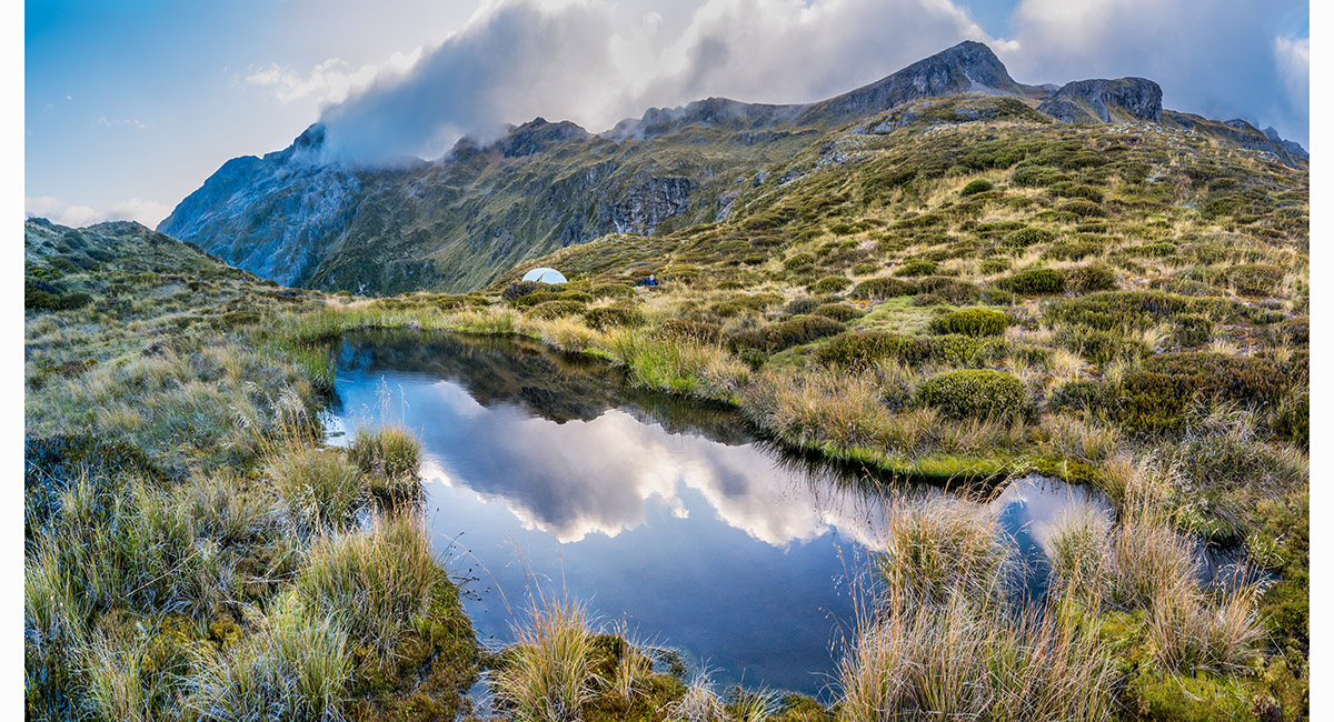
Our campsite and North Twin (left) at sunset


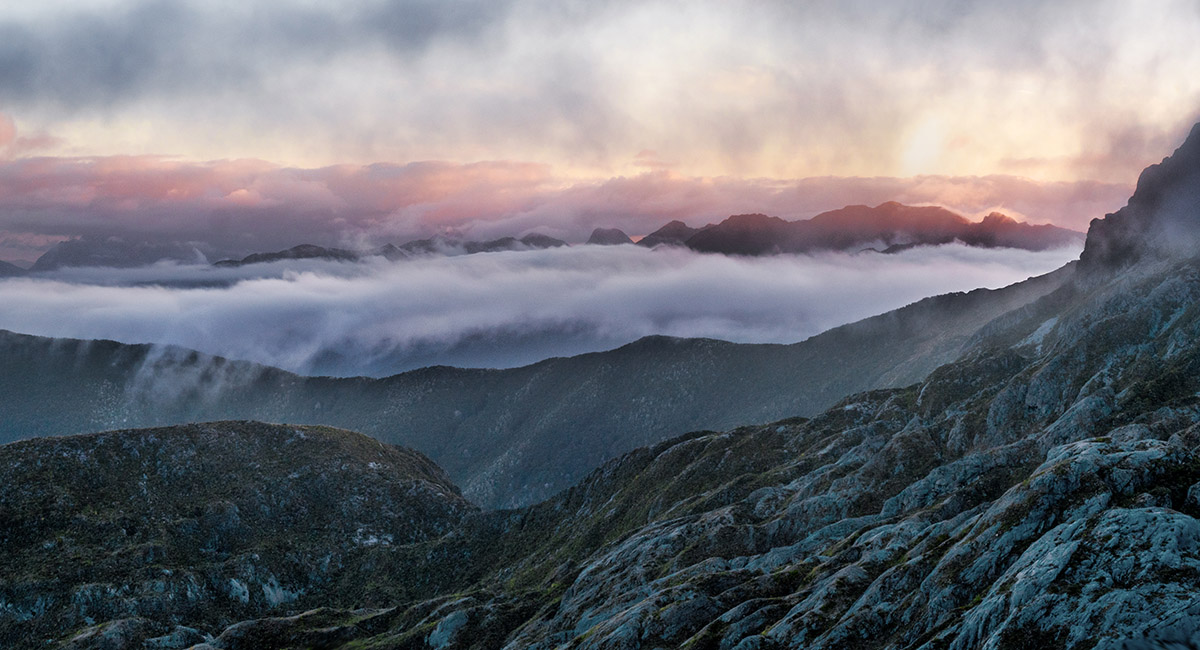
Dawn view east from our campsite

Dawn view east from our campsite

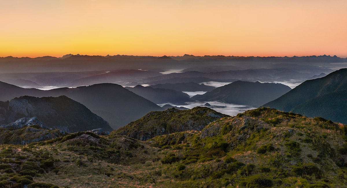
Dawn view east from our campsite

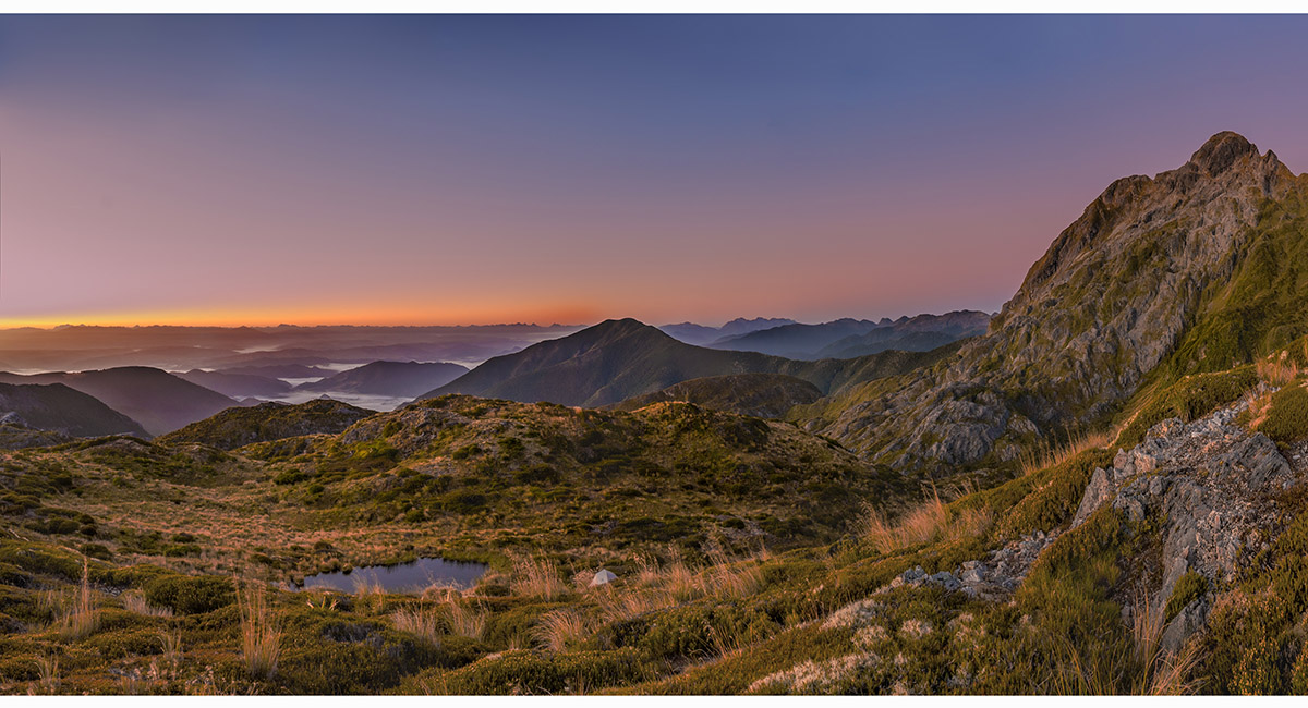
Dawn view east from our campsite, North Twin at right

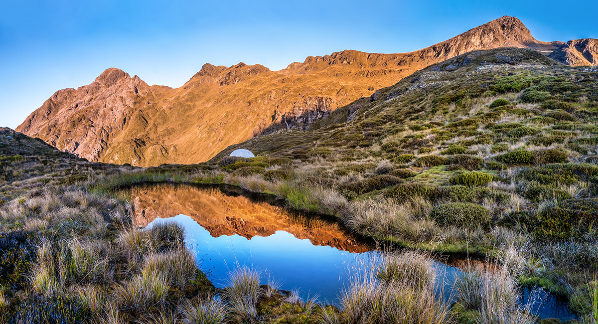
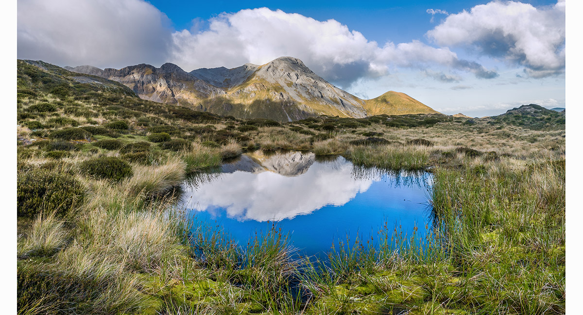
A clear morning with North Twin at left

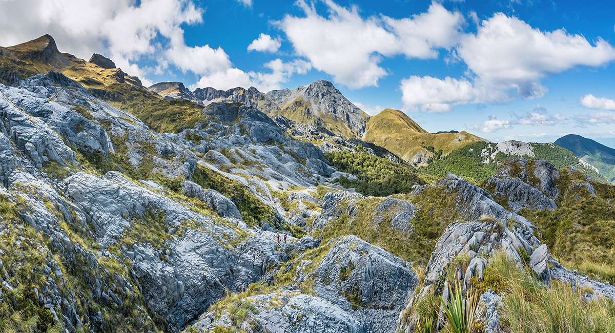
Looking north to the main ridge, where we were about to head

More tarns on the ascent to the main ridge, with north Twin in cloud at left

More tarns on the ascent to the main ridge, with north Twin in cloud right of centre

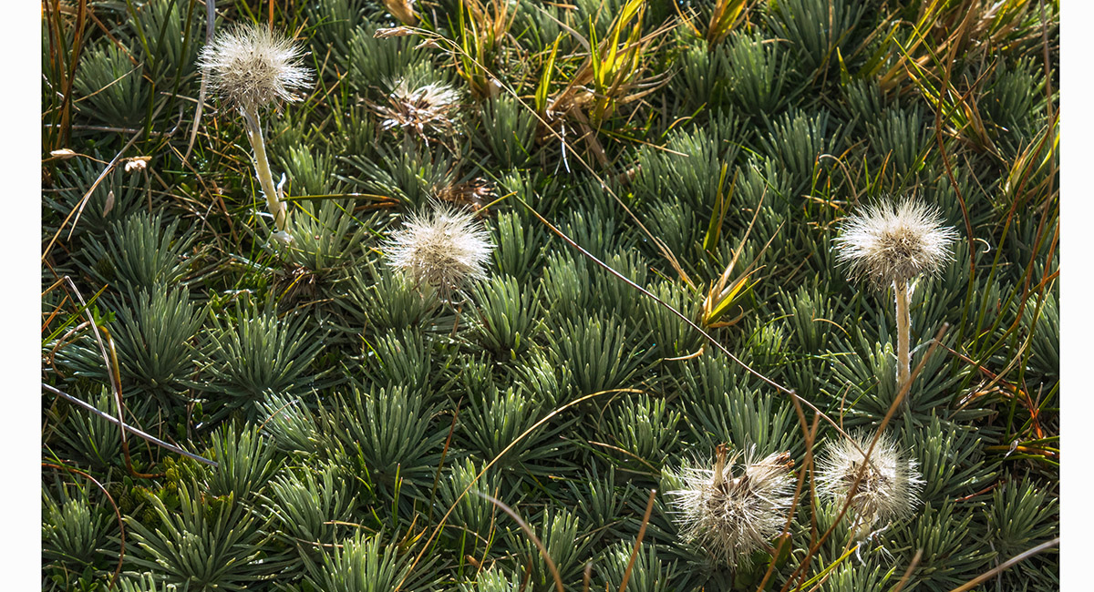
Alpine flora


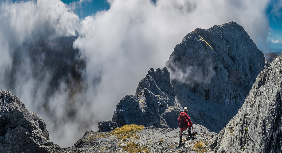
Shaun on the main ridge, contemplating our next move. The steep butress at right is Point 1753

The view beneath the southeast face of Point 1753, towards Winter Peak (far left) and Point 1732 (left of centre)

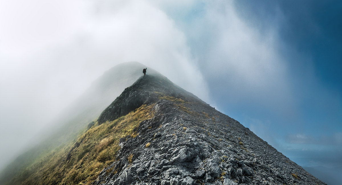
Skirting beneath Point 1753 in swirling cloud


Nearing the exit point back onto the main ridge, looking back along the route we'd come


Heading northeast to the southern side of Mt Arthur

A view across the Tablelands from 1,600m, beneath Mt Arthur

A view southwest, back along the main range, from about 1,700m, on the south side of Mt Arthur


A summit view from Mt Arthur (1,795m), looking northeast along the Mt Arthur Route

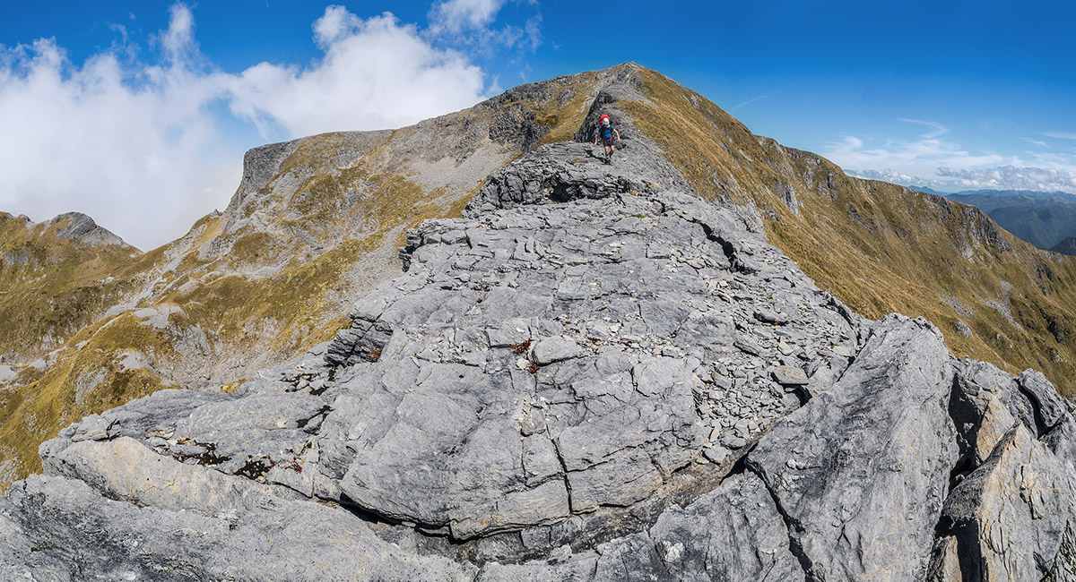
Looking back up the northeast ridge to Mt Arthur's summit

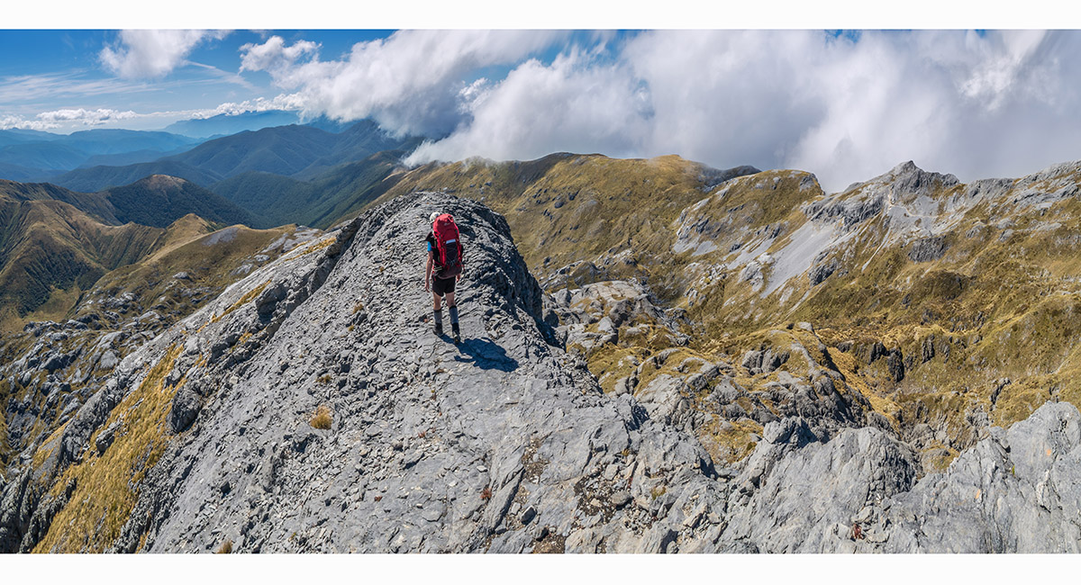
Looking down the northeast ridge of Mt Arthur


Looking down the northeast ridge of Mt Arthur

Read about it Adventures in karst land Wilderness Magazine Nov 2023 Captivating Photography Nov Dec 2023
To order a print or web resolution file of any image you see in this slide show, just right click the image, click “Copy Image URL” and paste in to the “Your message” box of our Contact Us form. Please also note, for each image, if you want a print or web resolution file. We will get back to you as soon as possible to confirm price and payment details.
Open Contact Us in a new window to paste Image URL(s) easily