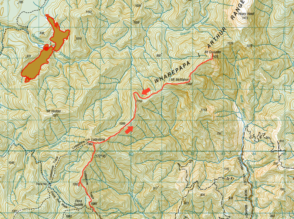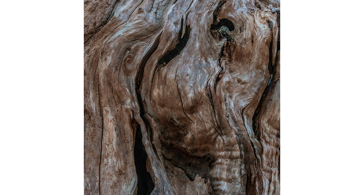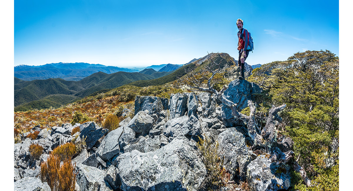
A gnarly old tree stump right on Point 1262, just above the Lodestone Track


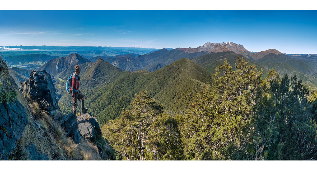
A viewpoint at 1,350m, looking to Mt Arthur and Gordon's Pyramid at right, just south of Lodestone's summit


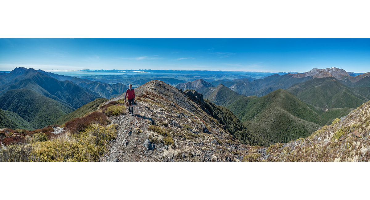
Bruce approaching the summit of Lodestone (1,462m), with Hoary Head and Crusader far left and Mt Arthur far right


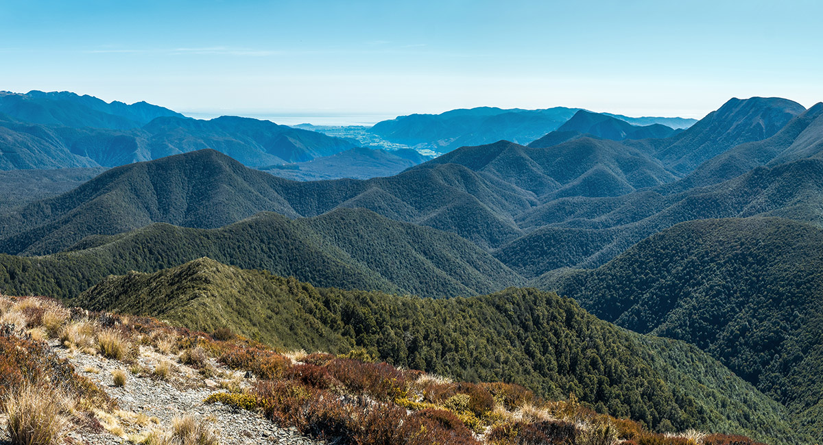
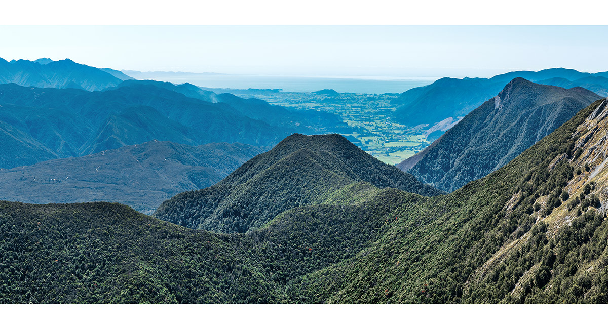
A view from Lodestone, north to Golden Bay, with Hoary Head far right


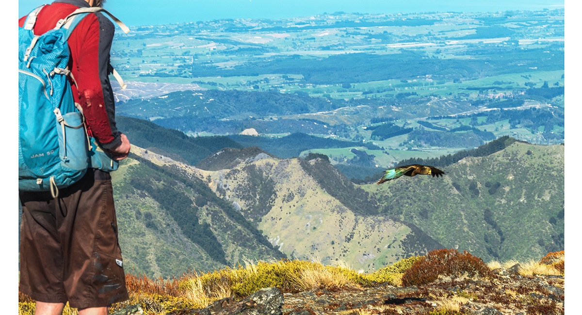
A kea pays a visit on top of Lodestone


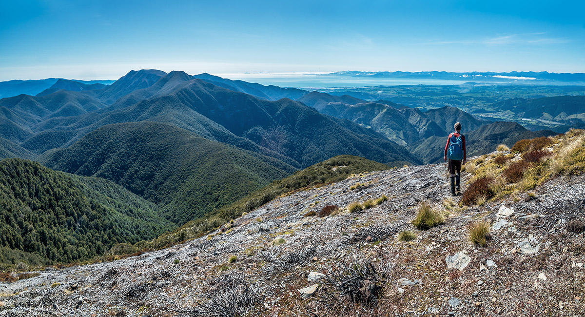
Heading north off Lodestone towards McMahon and Crusader. Tasman Bay at right


A view southeast to Tapuae-o-Uenuku and the Inland Kaikoura Range. Sugar Loaf (1,081m) in the left foreground


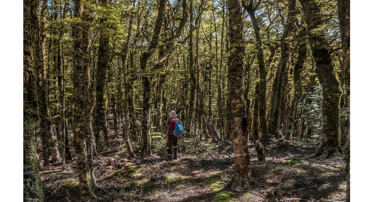
In beech forest at about 1,060m, southwest of McMahon


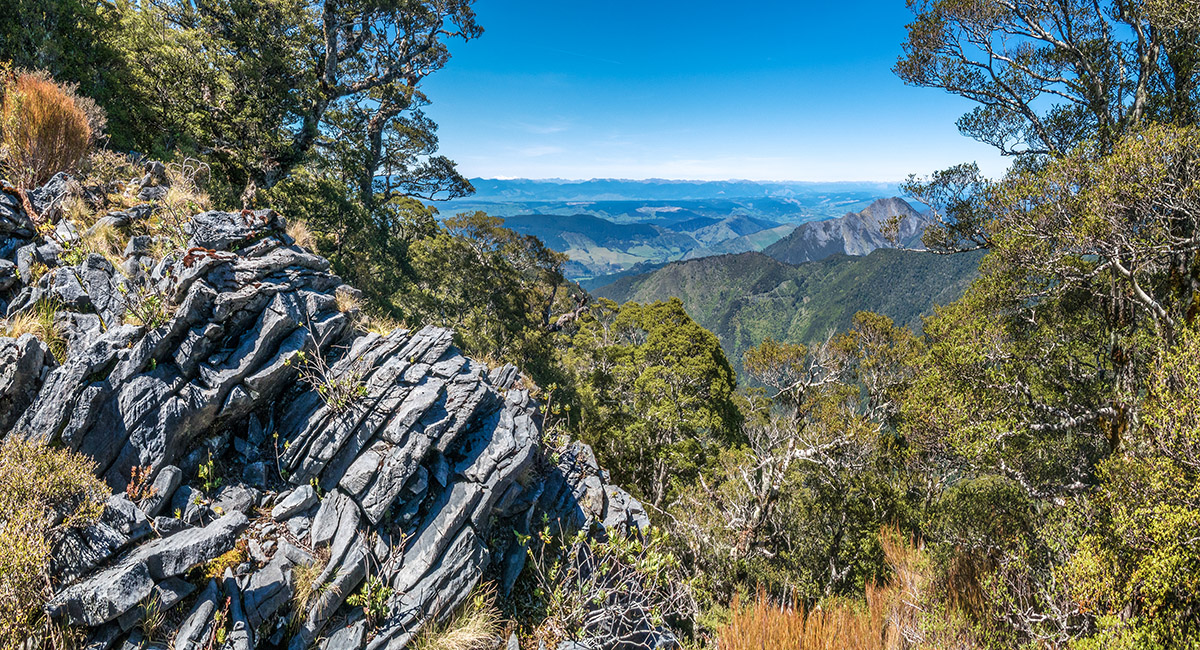
Karst formations on the ascent of McMahon, here at about 1,250m


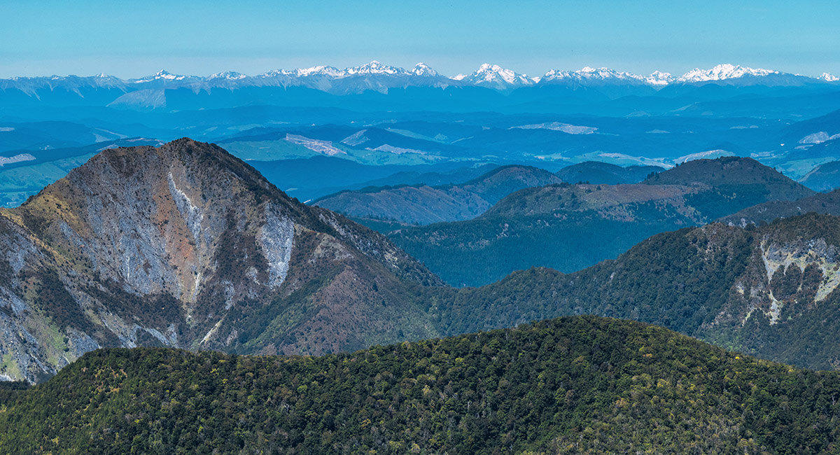
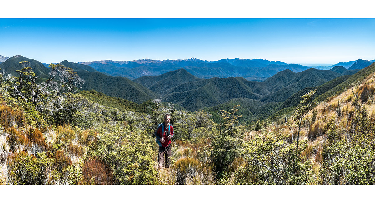
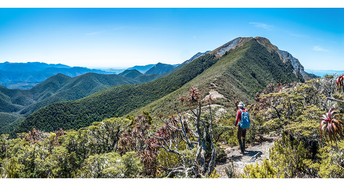
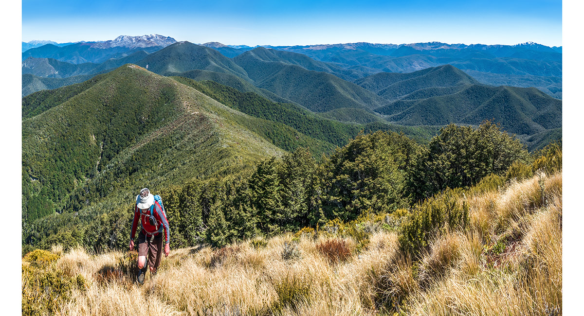
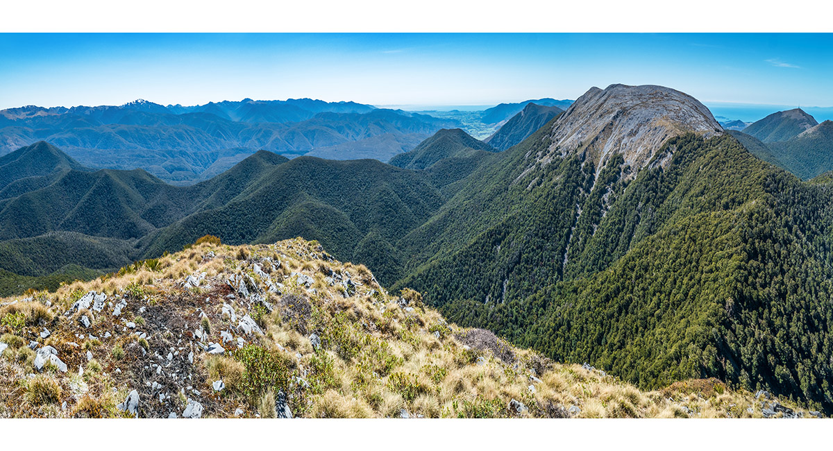
Approaching McMahon, with Lodestone far left, then Mt Hodder (1,377m). Mt Snowdon (1,859m) is the snowy peak on the centre skyline, with the Dragon's Teeth further right


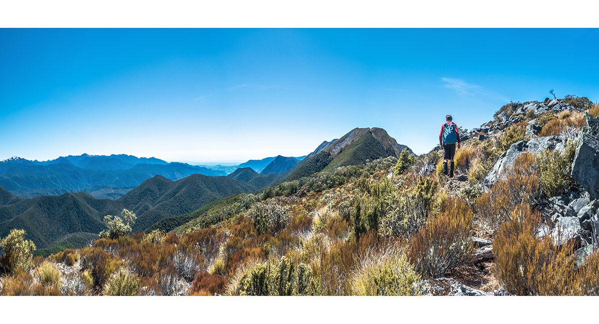
McMahon's summit at far right, with Crusader right of centre


Bruce on top of McMahon (1,342m)


Dropping off McMahon to the dip at 1,260m, en route to Crusader


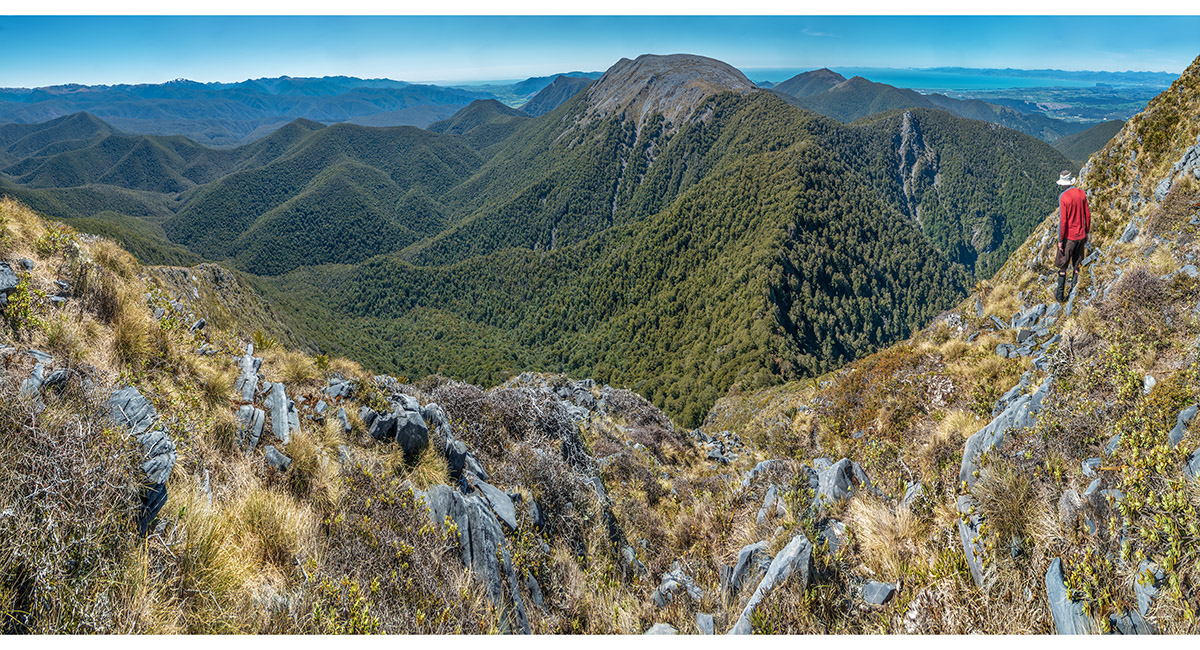
Just below the top of Crusader, looking back southwest along our route - McMahon, then Lodestone and Mt Arthur, all directly above Bruce's head


On the summit of Crusader (1,428m), with Tasman Bay to the east (far left) and Mt Arthur to the southwest (right skyline). Sugar Loaf is in the centre


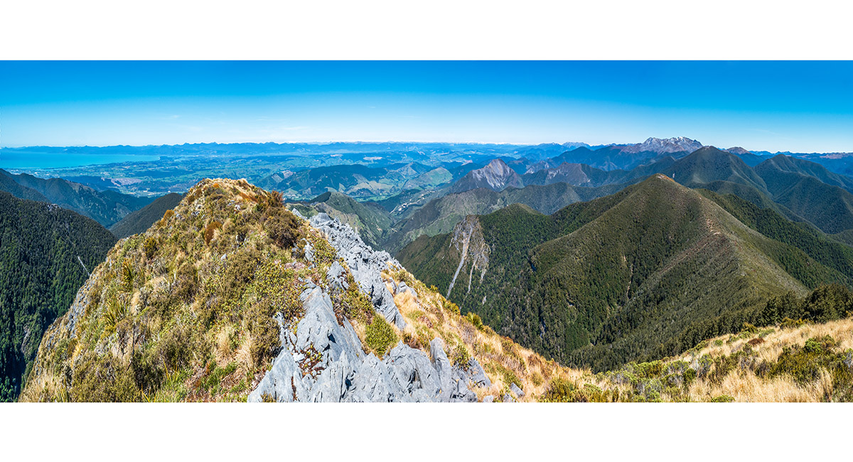
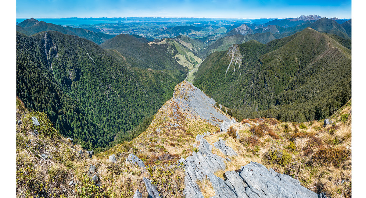
A view south, down the steep ridge plunging off Crusader


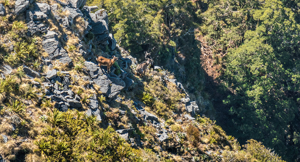
Some locals, unimpressed with our arrival, taking a direct route down the cliffs on the east side of Crusader


Just a little down from Crusader's summit, looking 200 metres down the route to the 1,220m saddle that gives access to Point 1270, then on to Hoary Head (1,473m). Mt Campbell (1,330m) is further to the right


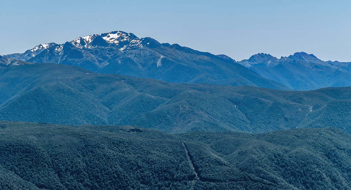
Mt Snowdon (1,859m), with the Dragon's Teeth further right, viewed from Crusader


Crusader summit view to Mt Snowden (left skyline), Golden Bay (centre), Hoary Head (right) and Mt Campbell and Tasman Bay (far right).
Click for the route between Crusader and Hoary Head


Crusader summit view to Golden Bay


