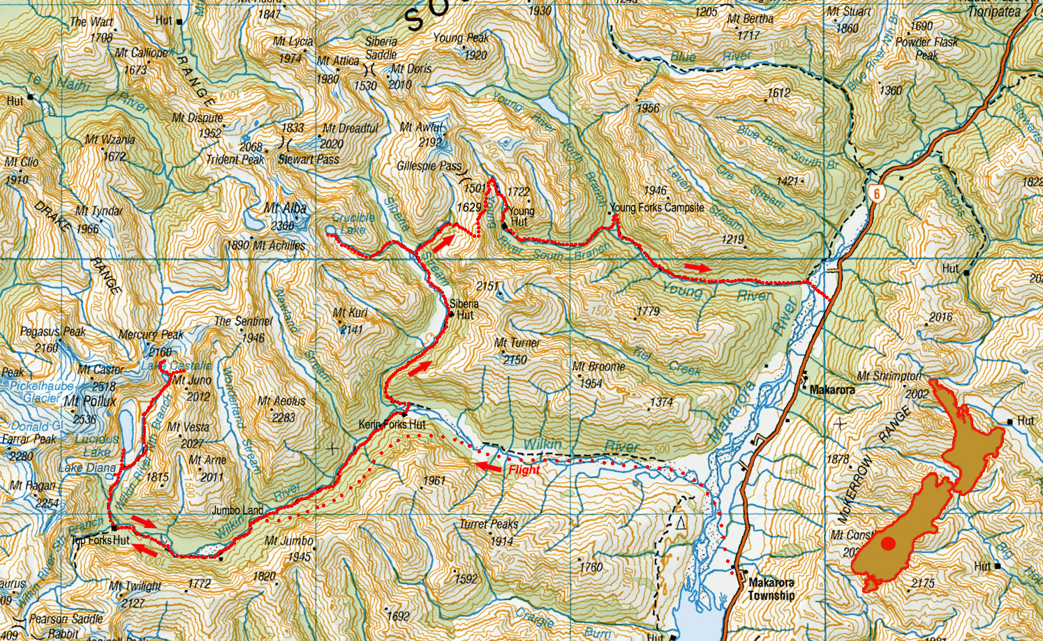
Wilkin Siberia Young, January 2022
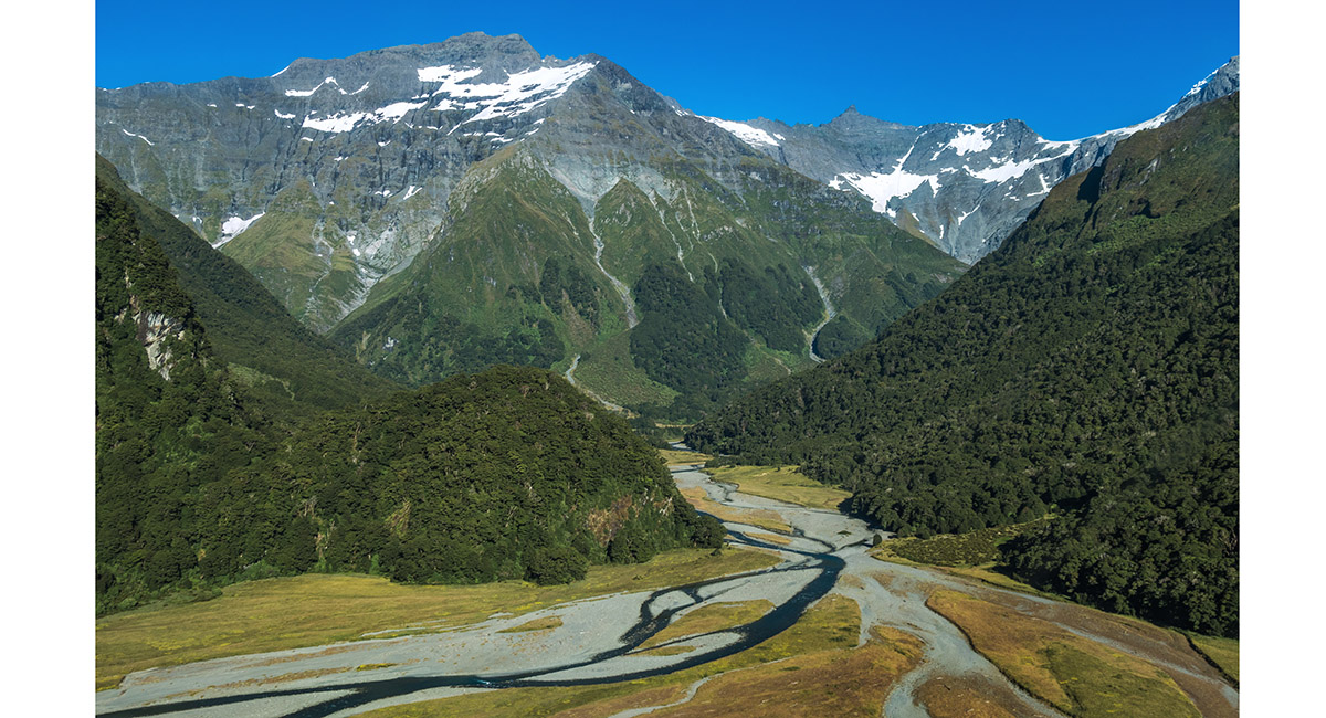
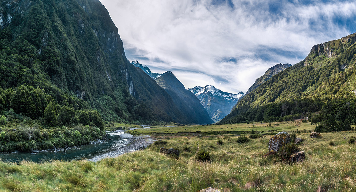
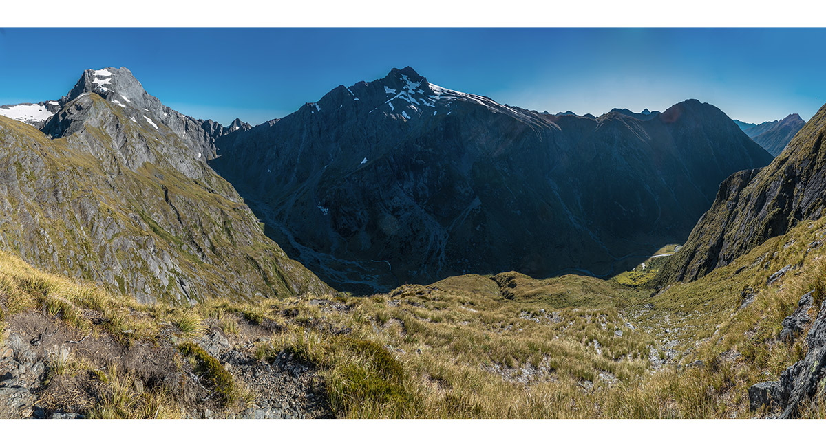
Approaching Jumboland by fixed wing aircraft, with Wilkin River leading towards Mt Taurus (2,009m)


At Jumboland (480m)

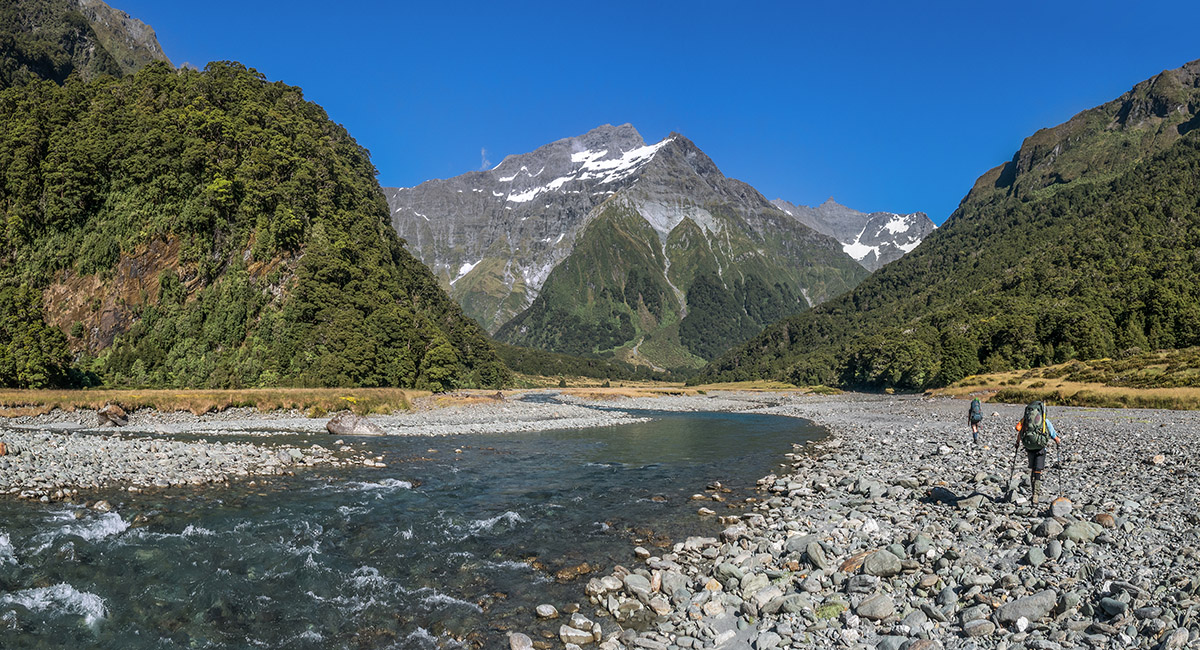
Heading up Wilkin River towards Top Forks Hut

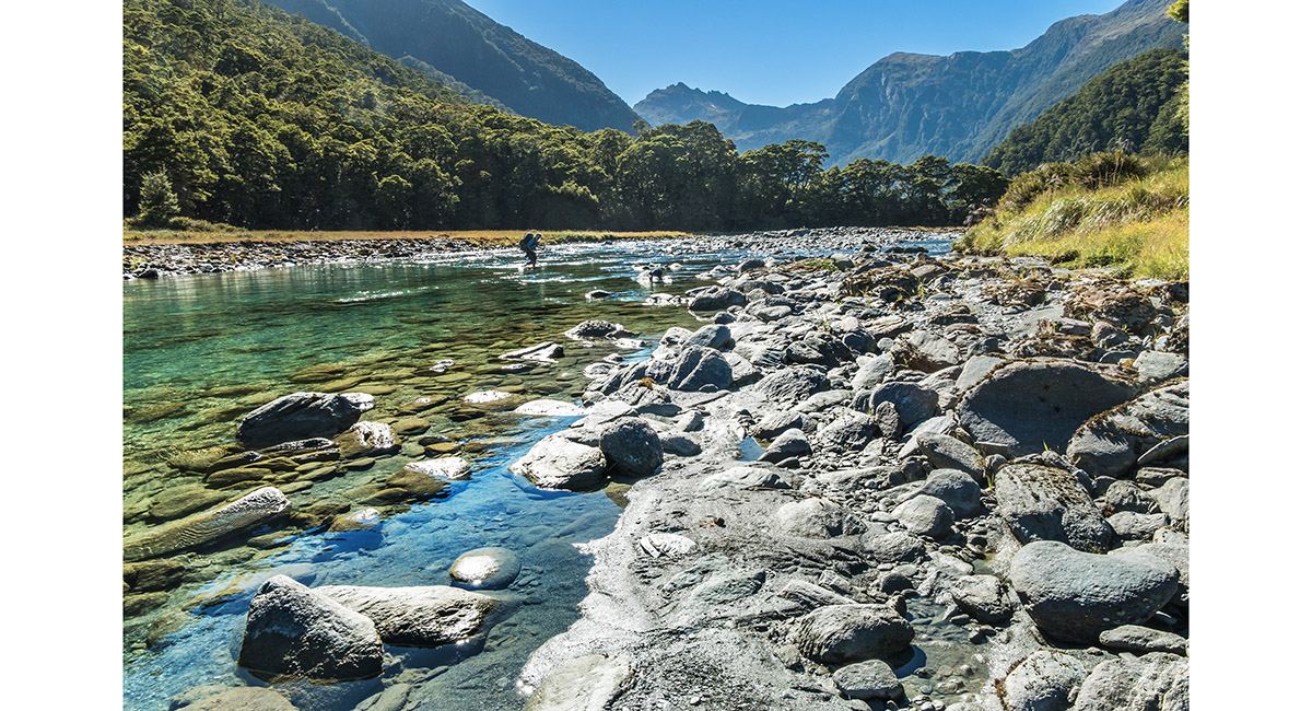
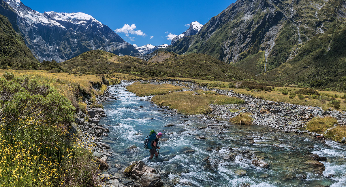
Crossing the Wilkin just east of Top Forks Hut

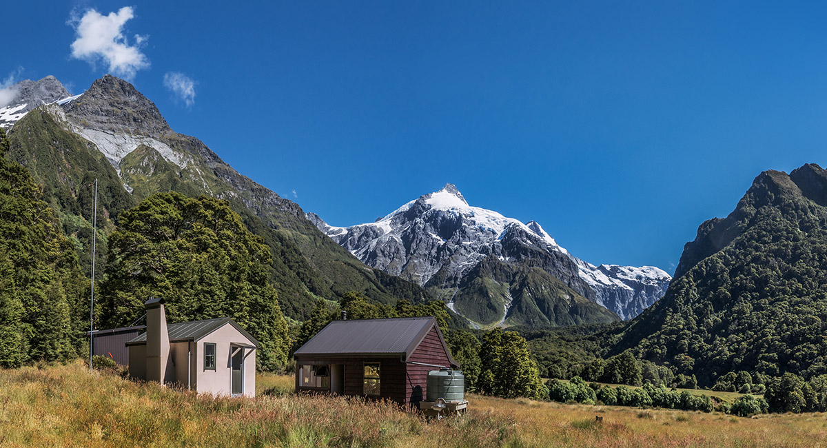
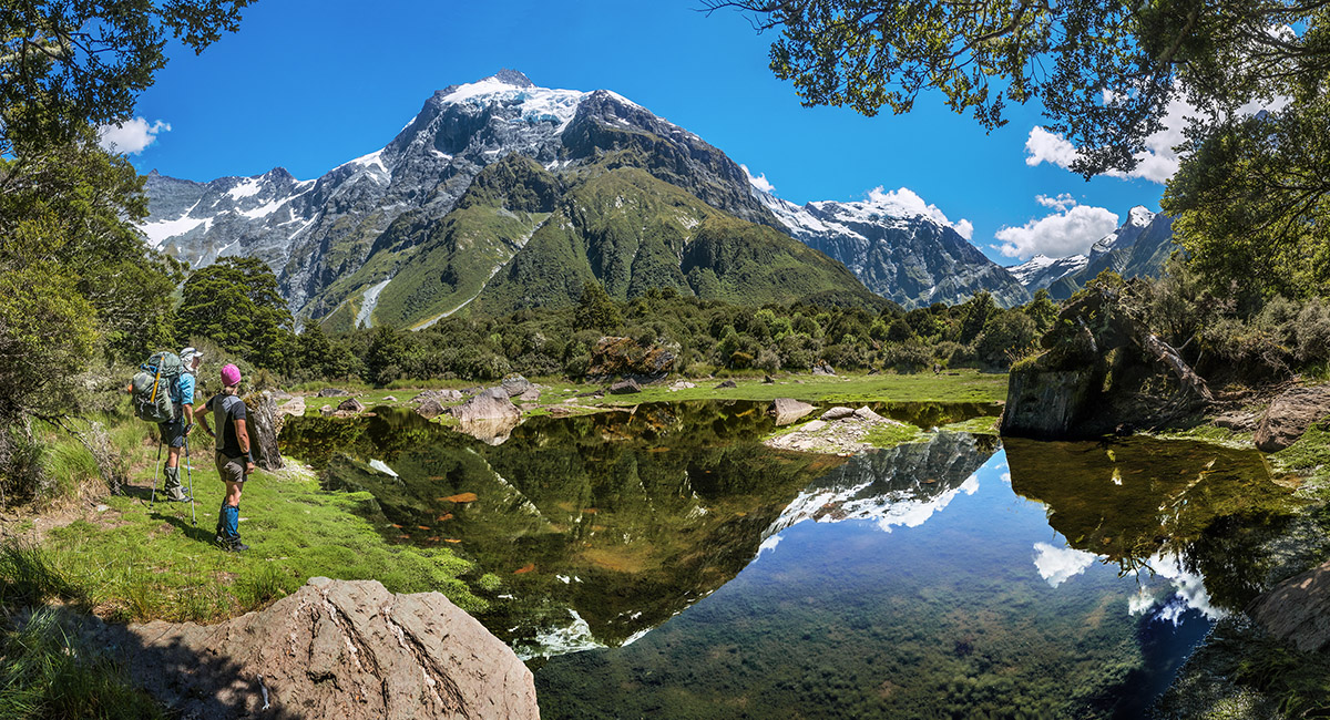
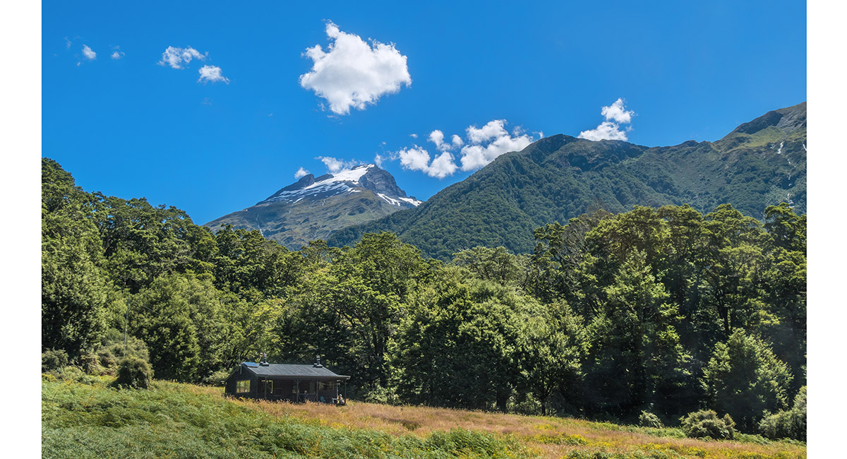
Top Forks Hut (600m) with Mts Pollux (2,536m) and Castor (2,518m) behind

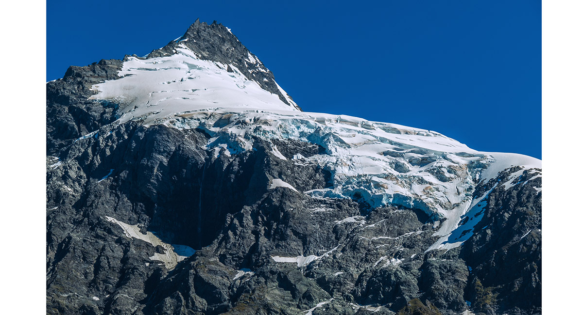
Mt Pollux (2,536m)

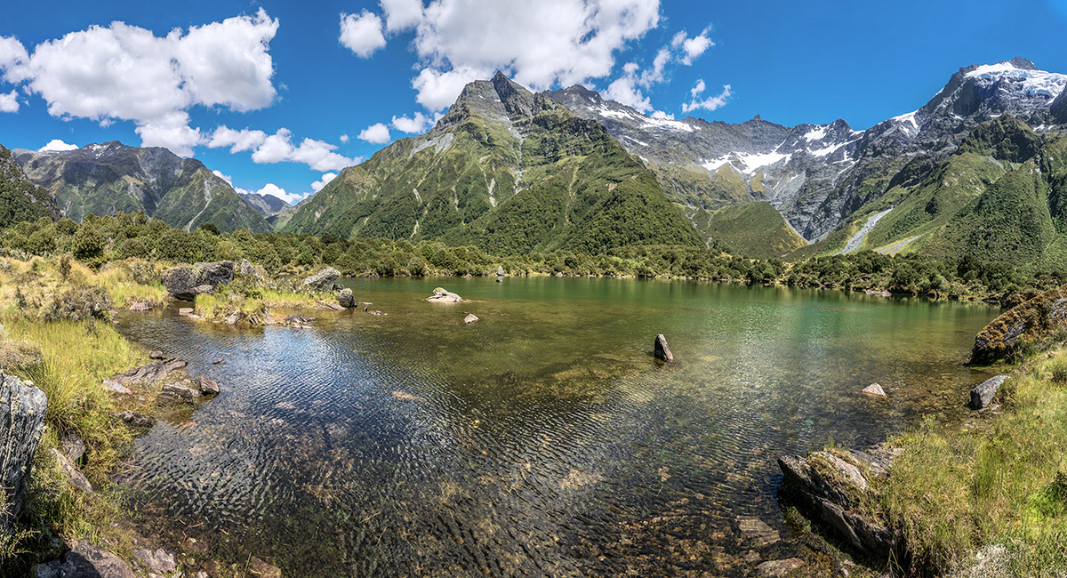
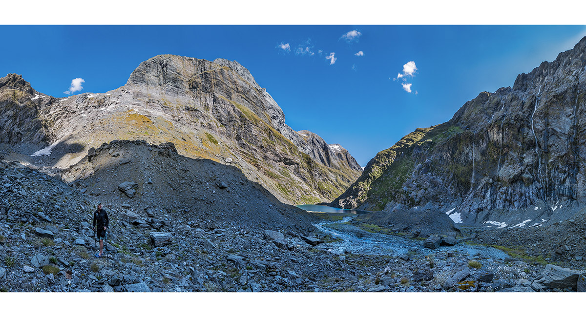
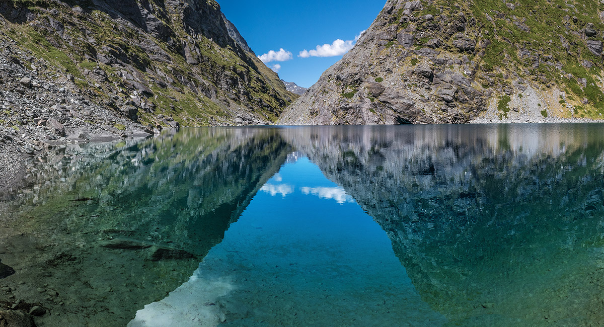
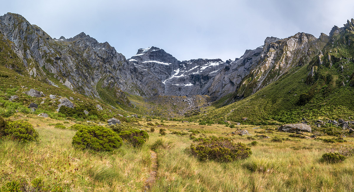
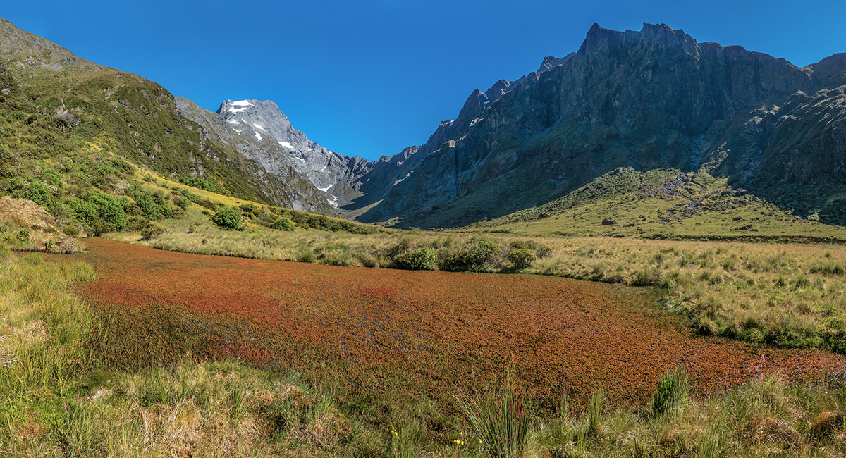
An un-named tarn just south of Lake Diana

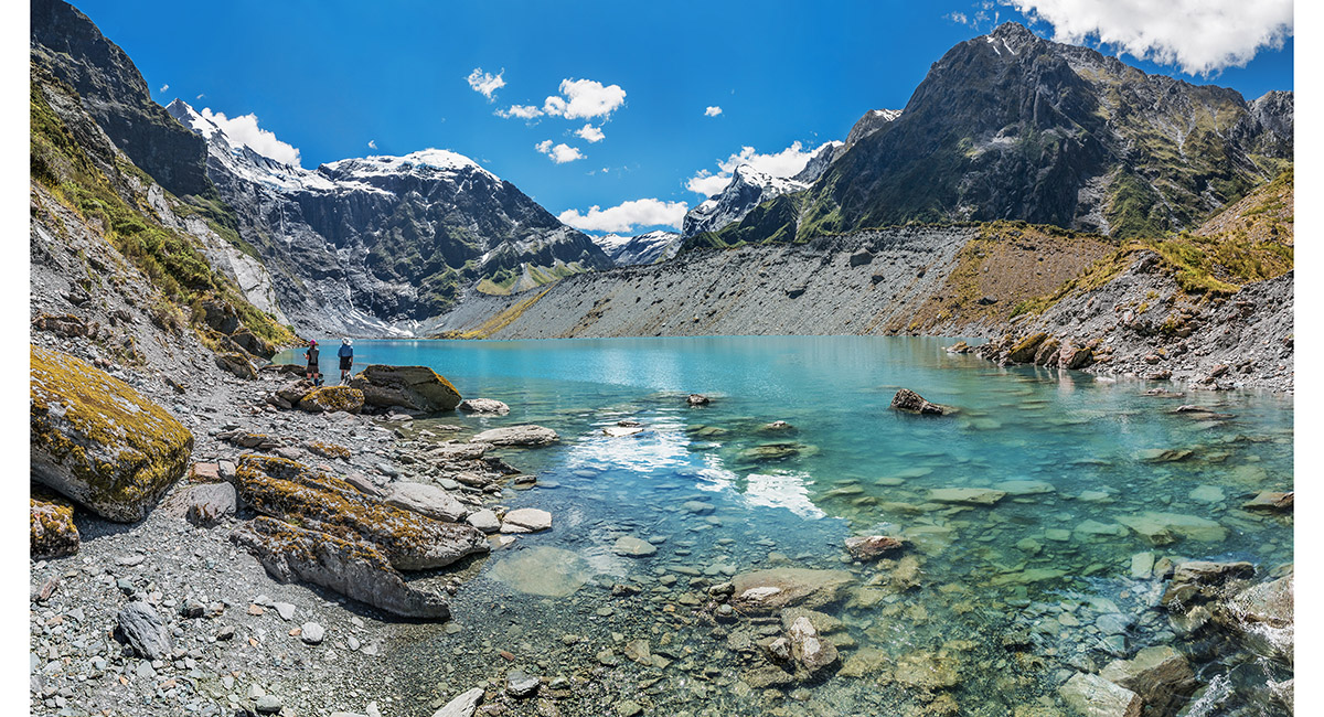
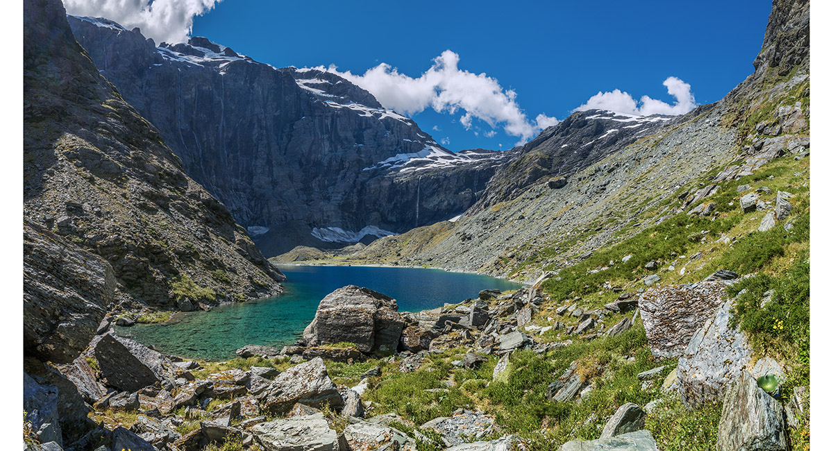
Lake Diana (800m)

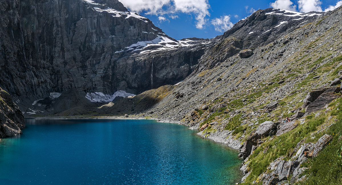
Lake Lucidus (828m), viewed from the south

Crossing Wilkin River North Branch, with Apollo Peak (2,124m - left) Leda Peak (1,946m), and Mt Juno (2,012m - right)


Heading north towards Lake Castalia, with Mt Castor (2,518m - left)

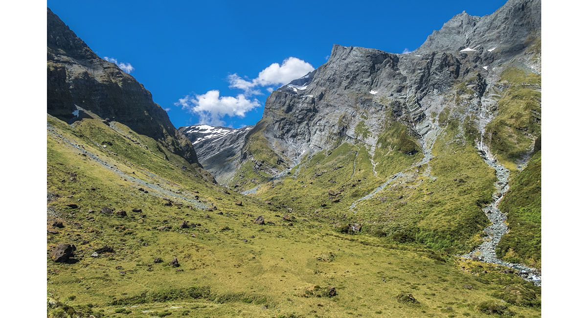
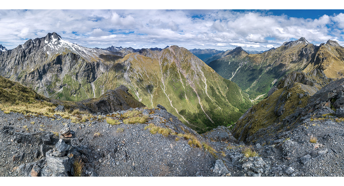
A view from about 900m on the old moraine on the east side of Lake Lucidus, to the gap leading to Lake Castalia


A view from about 900m on the old moraine on the east side of Lake Lucidus

Lake Castalia (1,150m) from the south, with Mercury Peak (2,160m - left) and Leda Peak (1,946m - right)

Lake Castalia from the south, with Leda Peak (1,946m - right)

A view from the north to Lake Castalia and Mt Juno (2,012m - left of centre). We failed to reach the ridgeline in the low point left of Juno

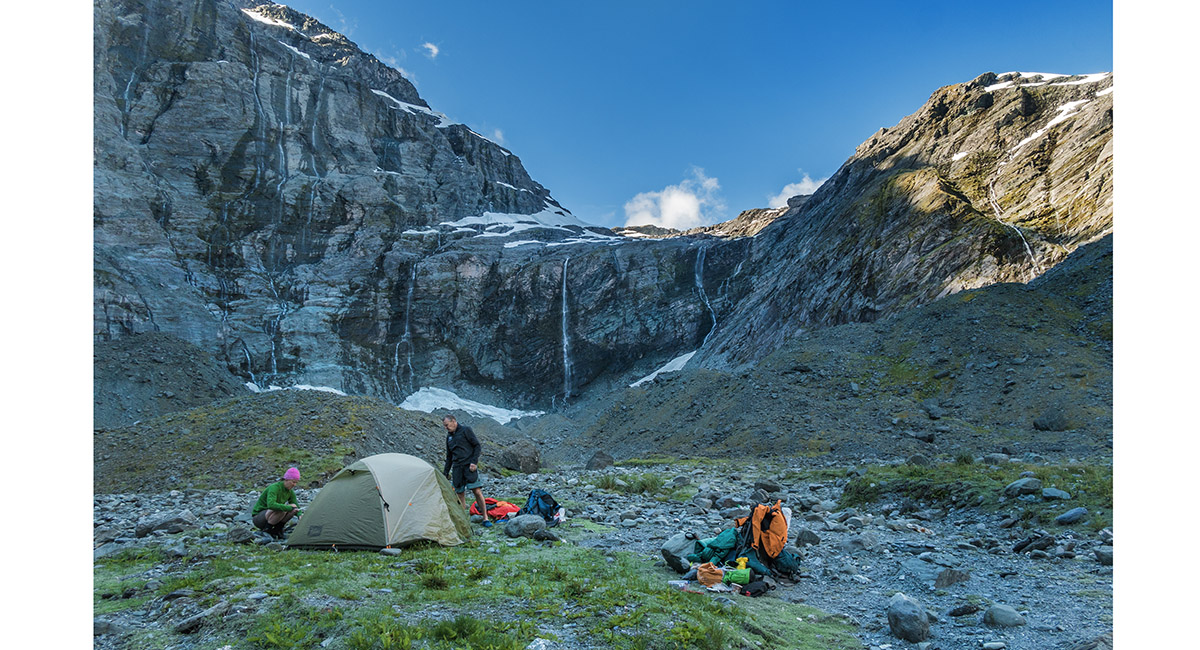
Our campsite at the north end of Lake Castalia


Our campsite at the north end of Lake Castalia

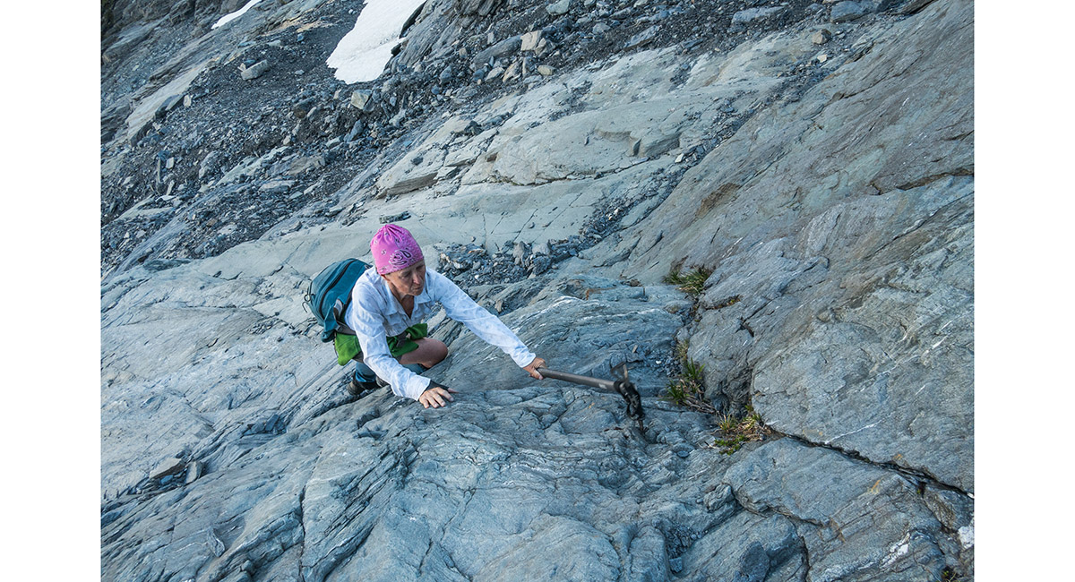
Caro on our climb to the ridgeline north of Juno


At our high point at about 1,650m, with Lakes Castalia and Lucidus below and (from right) Mercury and Apollo Peak and Mts Castor and Pollux above

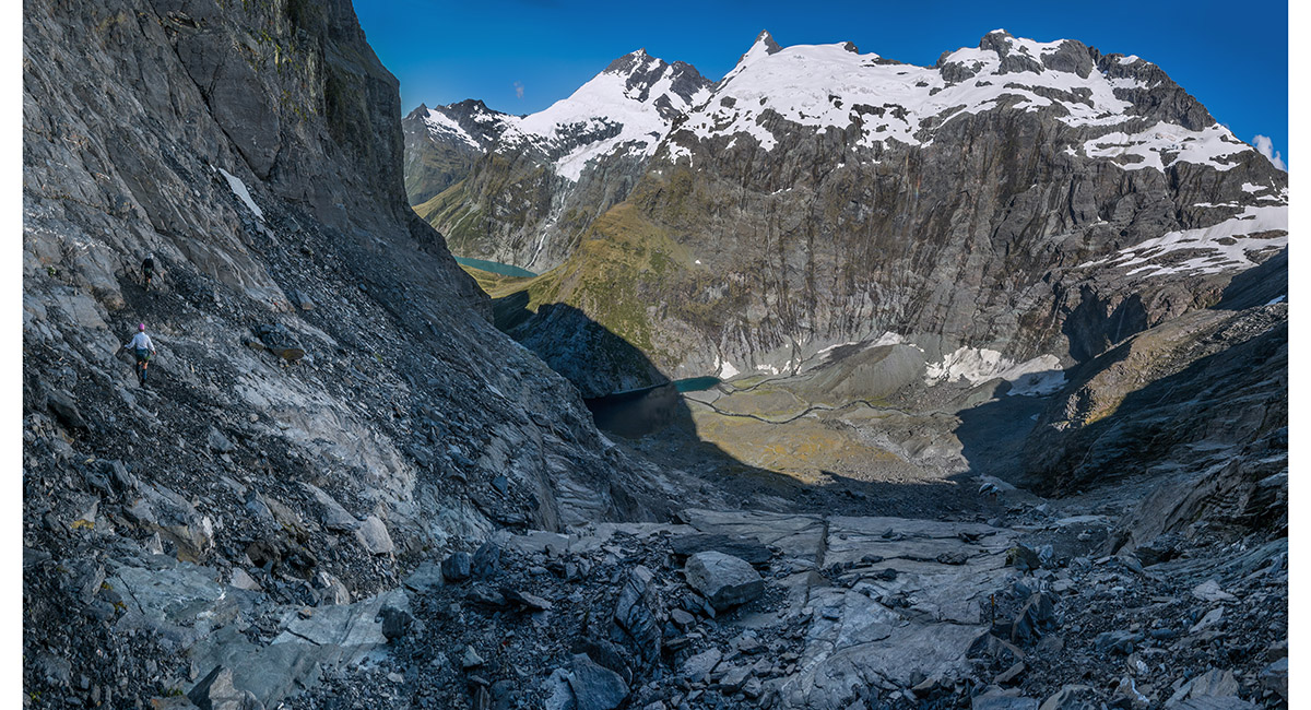
On our descent to Lake Castalia. From right, Mercury and Apollo Peak and Mts Castor and Pollux above


On our descent to Lake Castalia

Lake Castalia, viewed from its northern shore

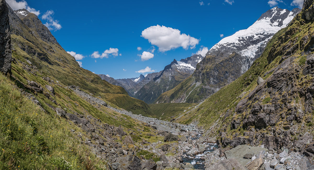
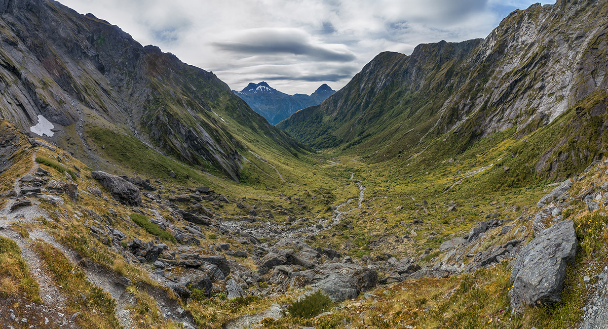
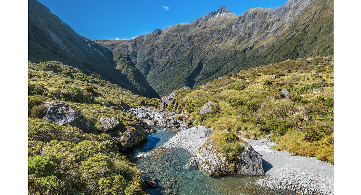
Looking south, down the upper reaches of Wilkin River North Branch

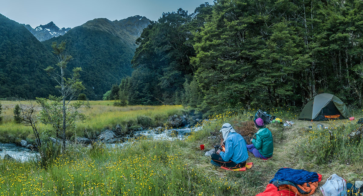
Our campsite just beyond the eastern end of Jumboland, Mt Taurus beyond

View north to Mt Kuri (2,141m) from the trail to Kerin Forks

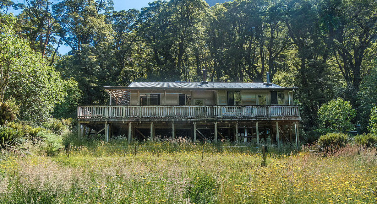
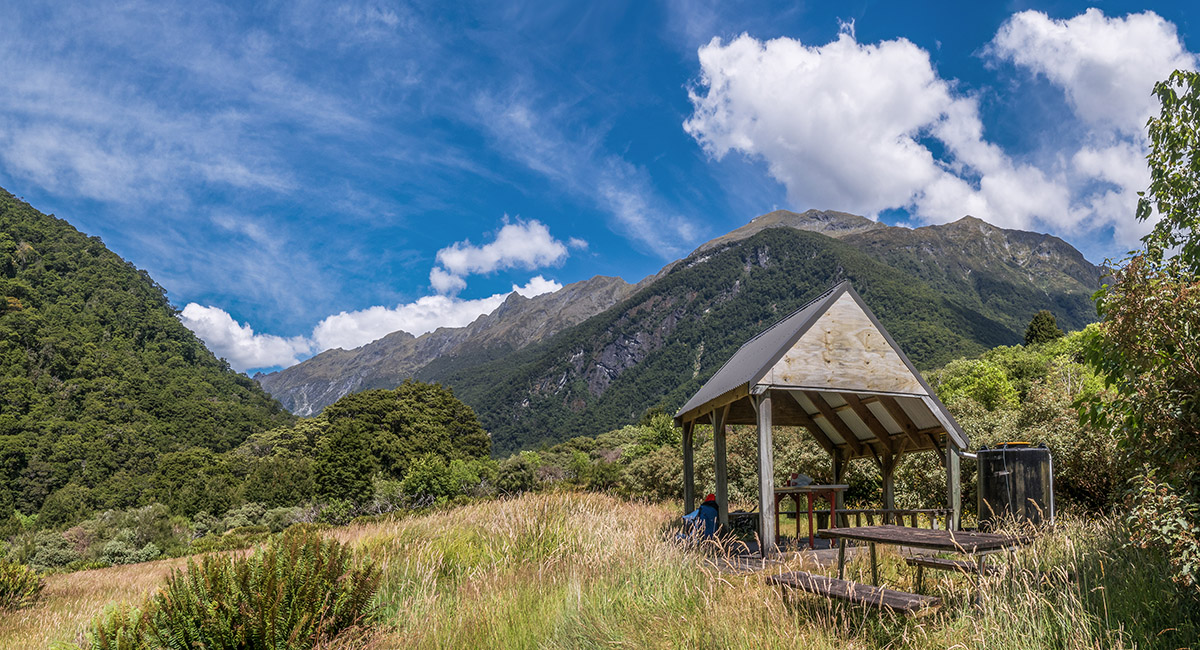
Kerin Forks Hut (320m), with Mt Aeolus (2,283m) behind

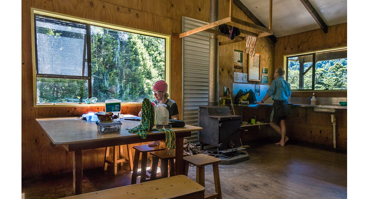
Inside Kerin Forks Hut

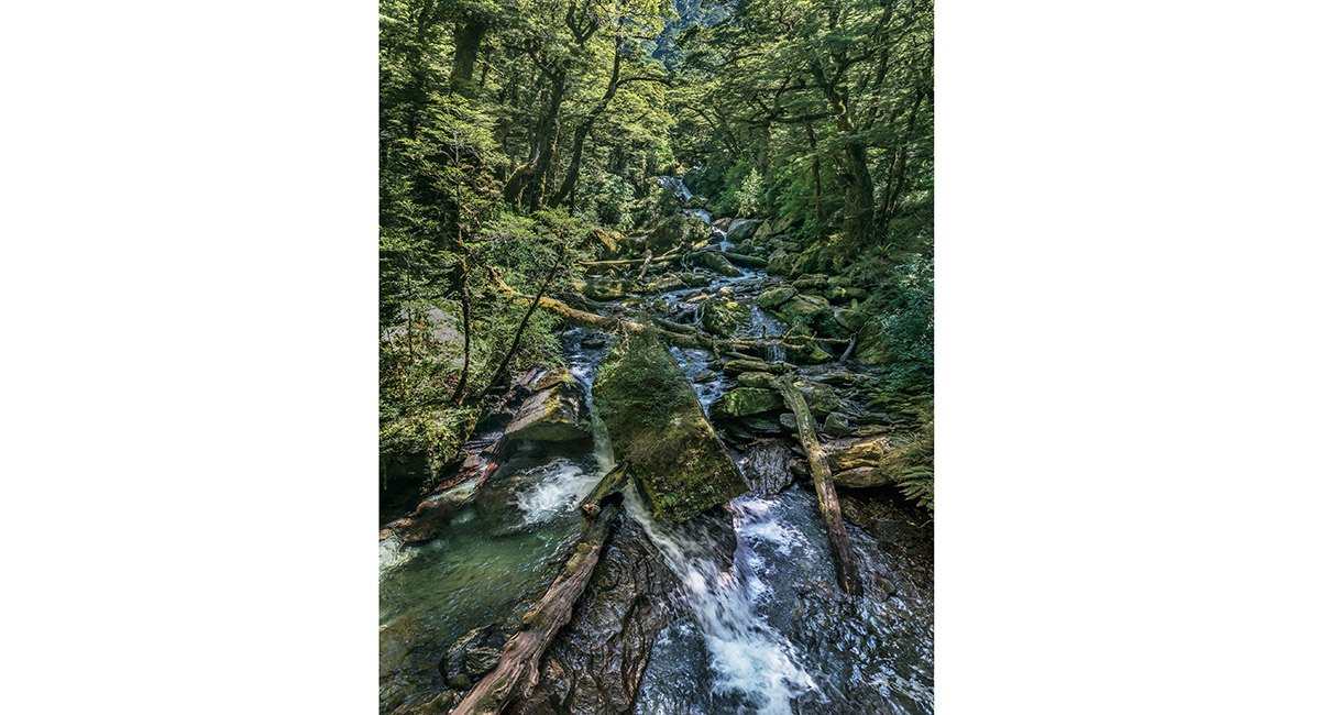
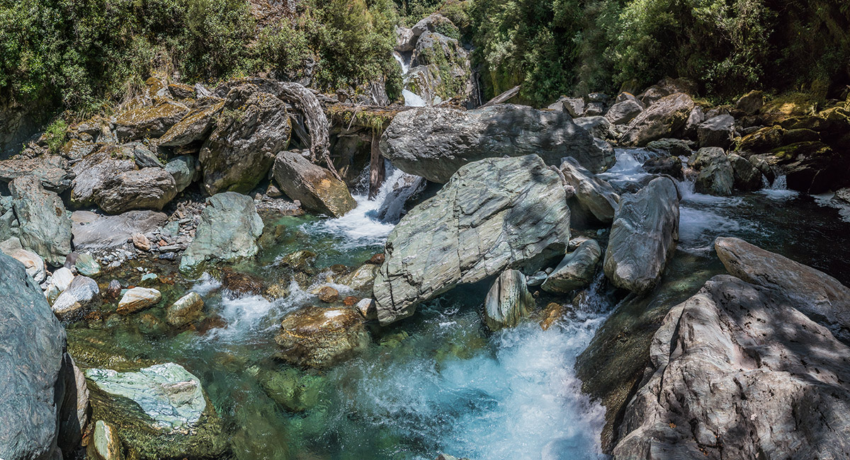
Siberia Stream, with Mt Awful (2,192m) distant left


Paradise shelducks in Siberia Stream


Caro in Siberia Stream

Approaching Siberia Hut (620m)

Looking north up Siberia Stream, with Mt Alba (2,360m - left) and Mt Dreadful (2,020m - centre)

Our heavily sandfly infested campsite at the base of Gillespie Stream

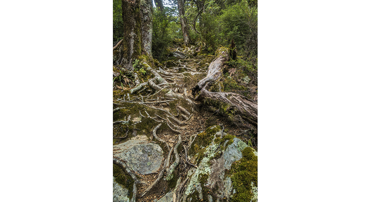
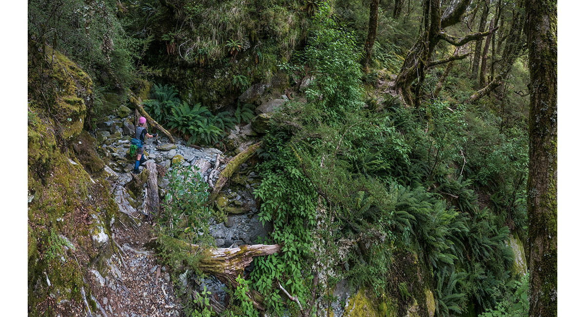
A section of very steep, root-bound track leading up to Lake Crucible

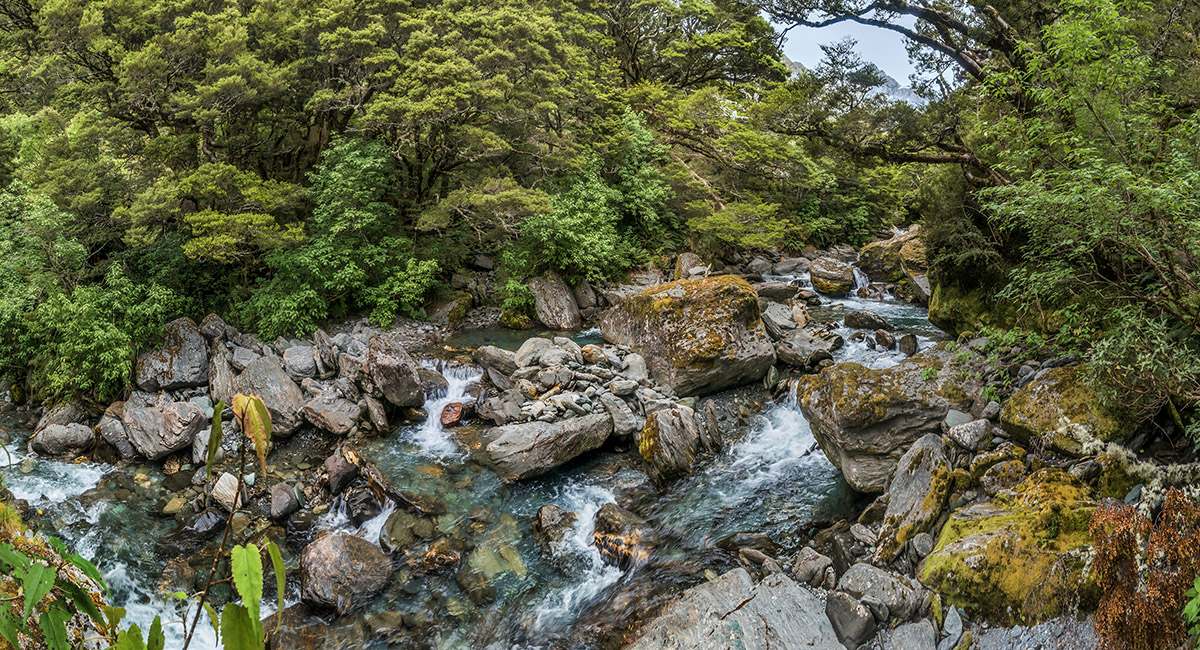
Crucible Stream


Crucible Stream

Above the treeline, the view northwest to Mt Alba

The view south-east from the edge of Lake Crucible

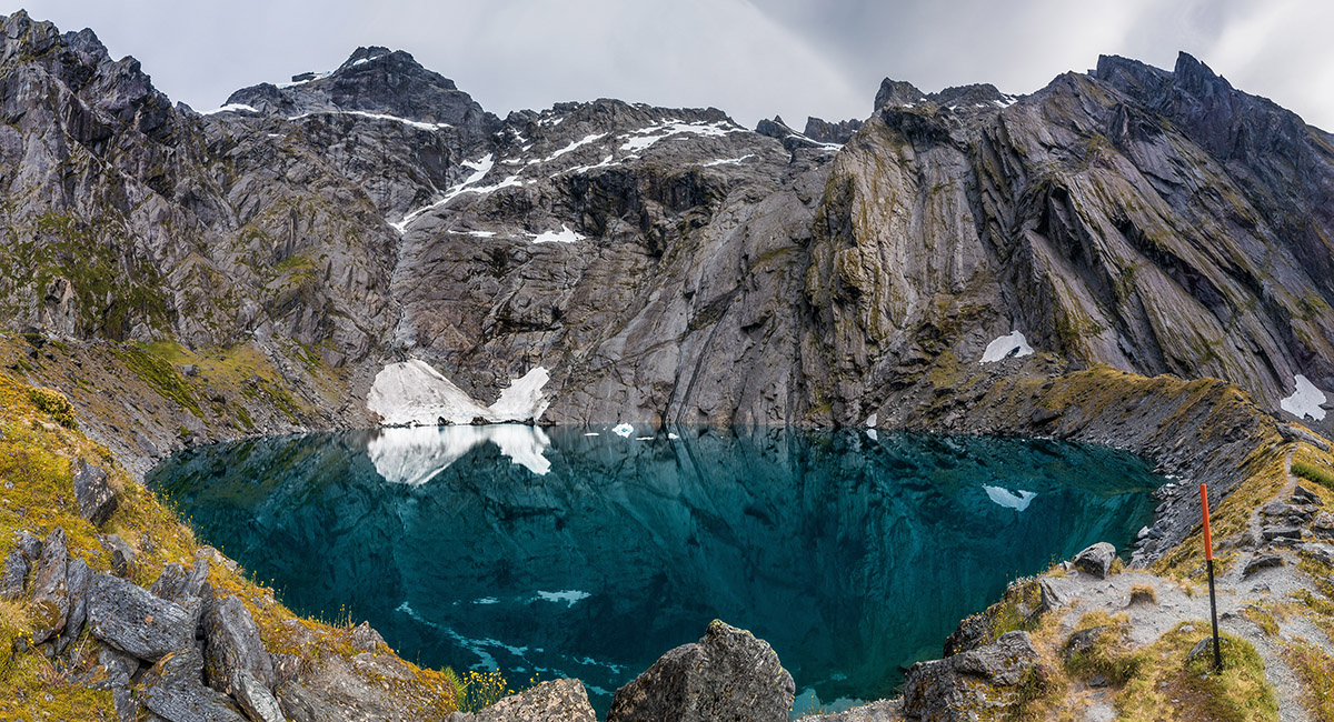
Lake Crucible (1,172m), with Mt Alba (2,360m) above


Small icebergs in Lake Crucible

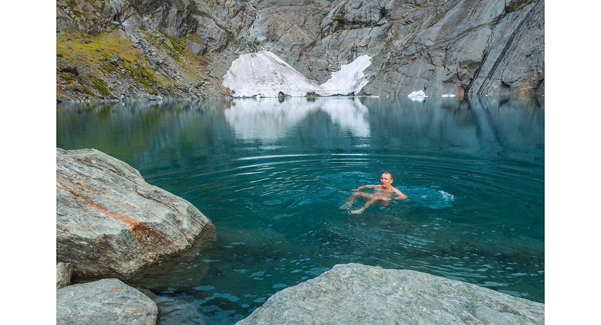
A chilled Whippet in Lake Crucible

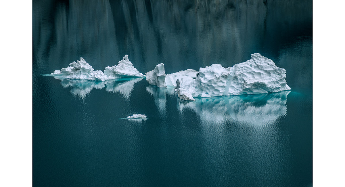
A small iceberg in Lake Crucible

On the Crucible Track

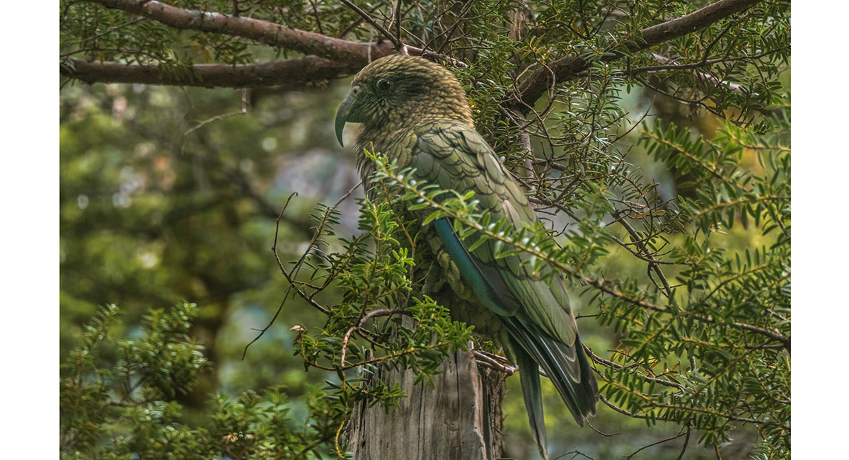
A kea beside the Crucible Track

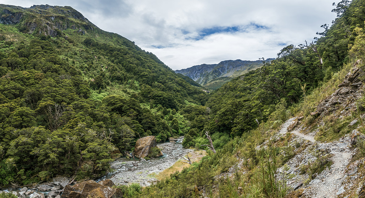
At about 1,000m on the west side of the Gillespie Pass Circuit Track


At about 1,500m on the west side of the Gillespie Pass Circuit Track. Mt Kuri (2,141m - left of centre), Mt Alba (2,360m - centre) and Mt Awful (2,192m - right)

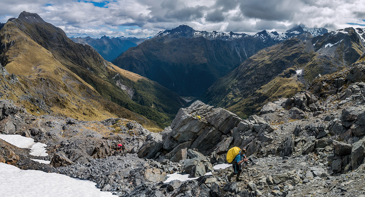
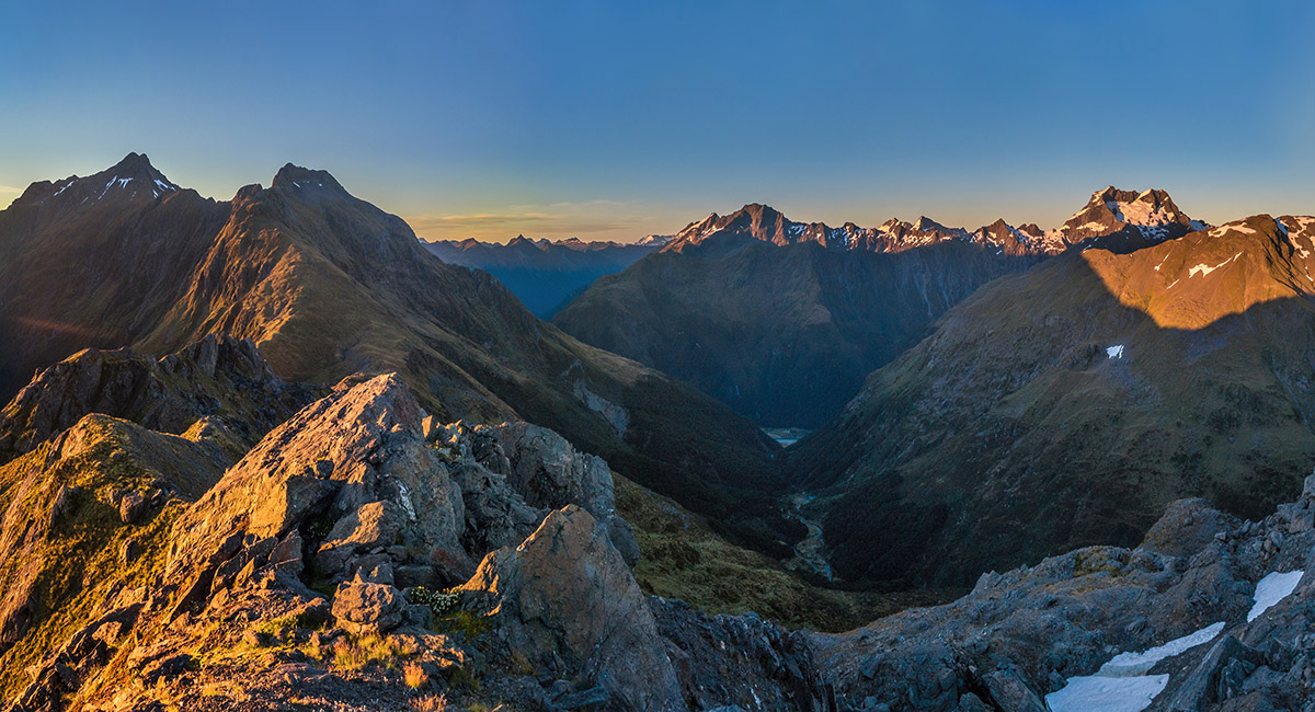
Simon and Caro arriving at Gillespie Pass

The view south-east down the Young, from Point 1,629, just above Gillespie Pass

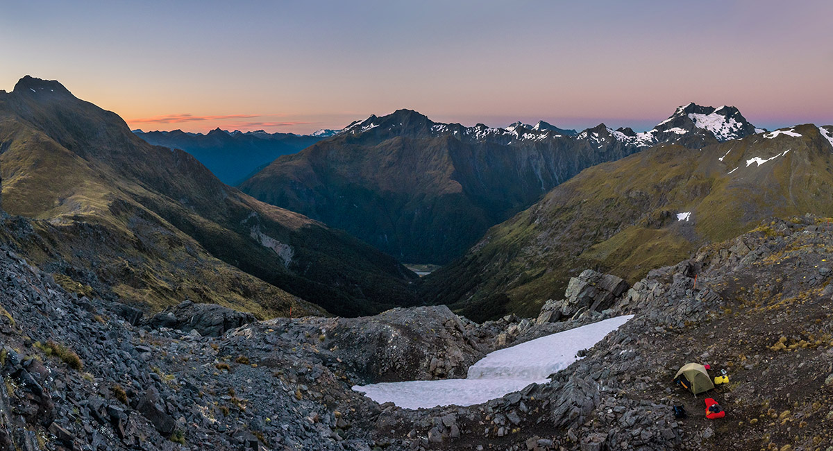
Sunset view south-west from our campsite on Gillespie Pass


Sunset view south-west from our campsite on Gillespie Pass

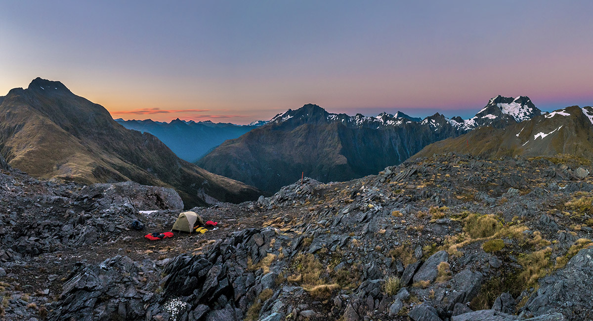
Sunset view south and west from our campsite on Gillespie Pass. Mt Alba right

Sunset view south and west from our campsite on Gillespie Pass. Mt Alba right

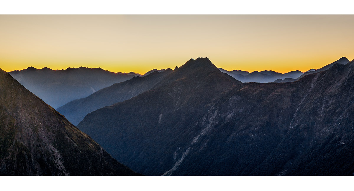
Sunrise view south-east down the Young, from Point 1,629, just above Gillespie Pass


Sunrise view south-east down the Young, from Point 1,629

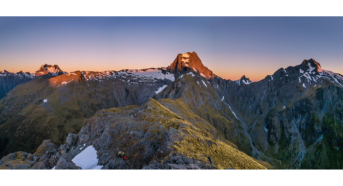
Sunrise view north and west from Point 1,629, to Mt Alba (left), Mt Awful (centre) and an un-named 2,026m peak (right)

Sunrise view south and west from Point 1,629. Mt Alba right

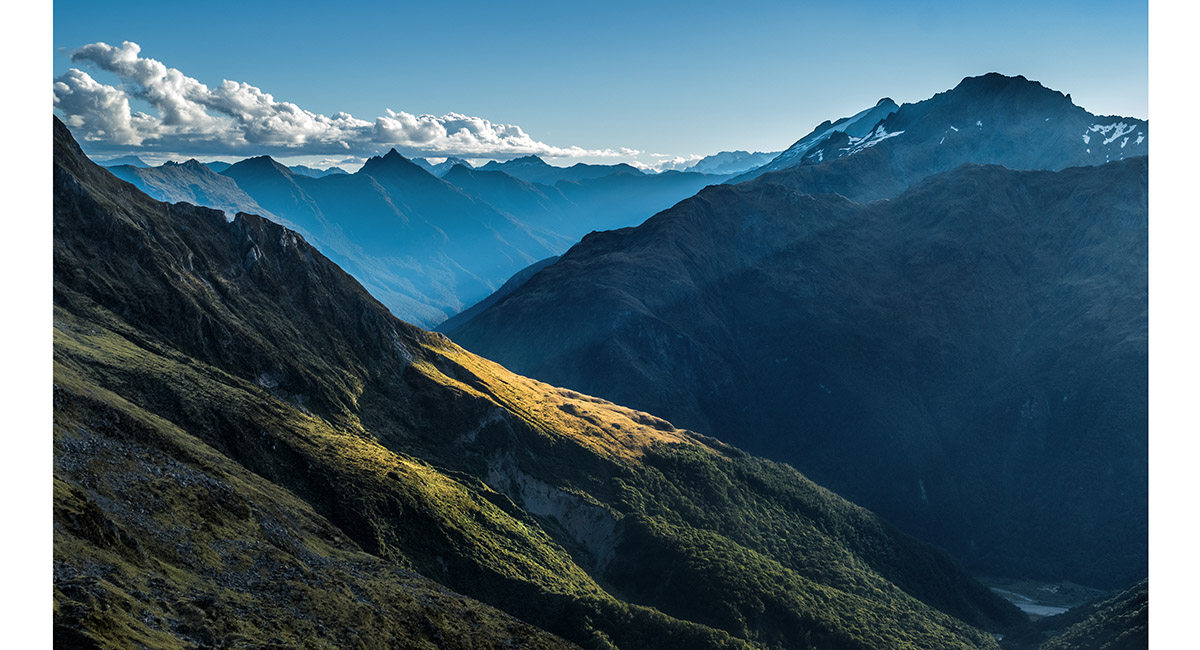
Looking in to the head of the Young, from the Gillespie Pass Circuit Track

Just below 1,000m in Young Basin, with Mt Awful (2,192m) left

The view south from the bridge above where the Young River South Branch begins its 250m plunge

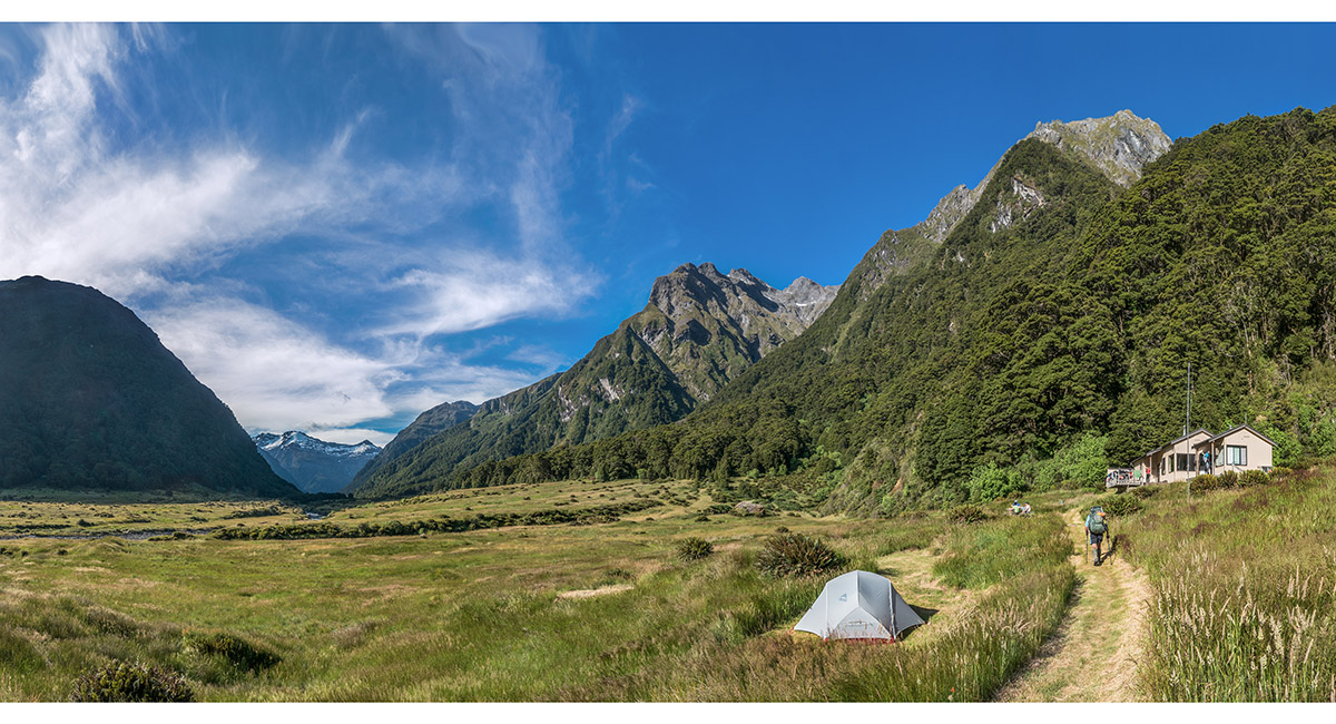
Young Hut (750m)

Stag Creek viewed from the bridge at 640m

A steep section of the Young before it becomes the North Branch

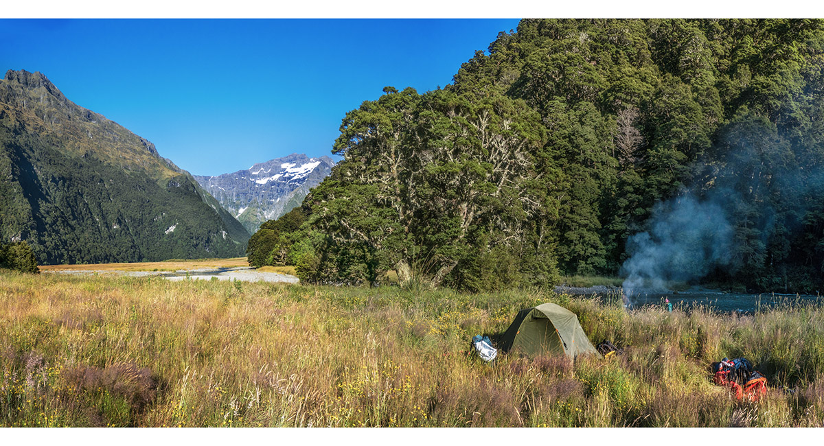
Young Forks campsite (400m)


Looking north-east up Makarora River, at the crossing point to Sawmill Flat

Read about it Siberian Heatwave Wilderness Magazine Oct 2022
To order a print or web resolution file of any image you see in this slide show, just right click the image, click “Copy Image URL” and paste in to the “Your message” box of our Contact Us form. Please also note, for each image, if you want a print or web resolution file. We will get back to you as soon as possible to confirm price and payment details.
Open Contact Us in a new window to paste Image URL(s) easily