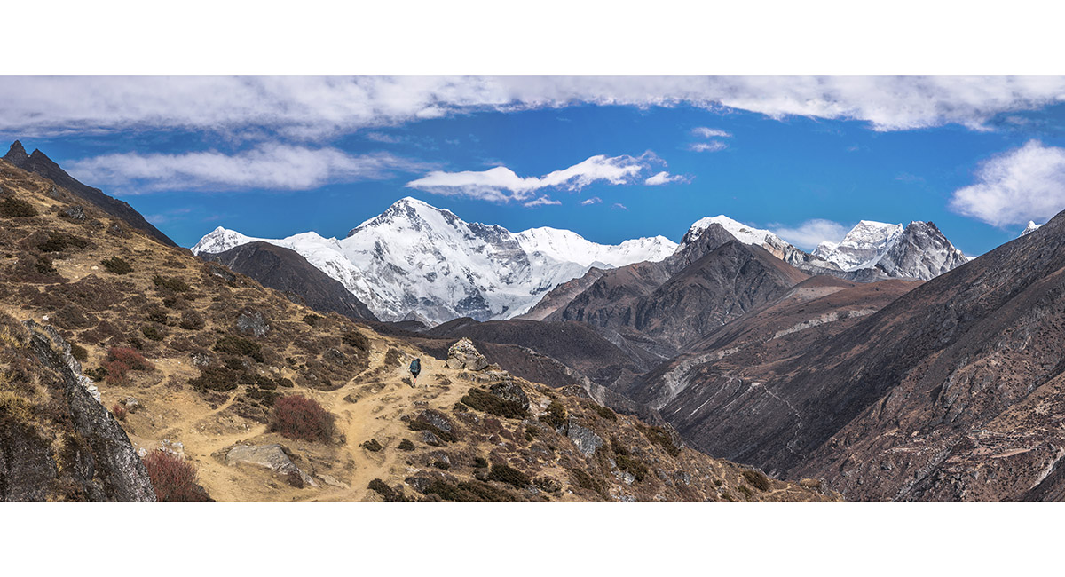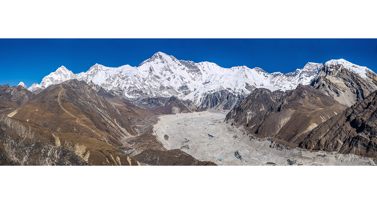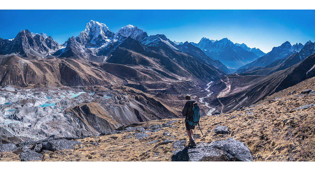
A view north to Cho Oyu (8,201m) from near Lhabarma (4,320m), on the trail to Gokyo


Big peaks ahead - from left Nangpai Gosum (7,321m), Chamar (7,282m), Cho Oyu (8,201m), Ngozumpa Kang I (7,905m) and II (7,720m), Kangchung (6,083m) and Gyachung Kang (7,952m)


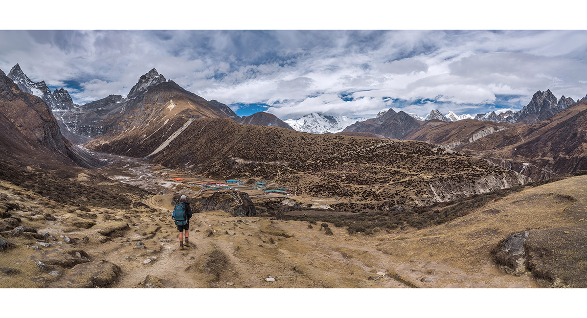
Coming in to Machhermo (4,410m), with Kyajo Ri (6,151m) at left


Coming in to Machhermo (4,410m), with Kyajo Ri (6,151m) at left


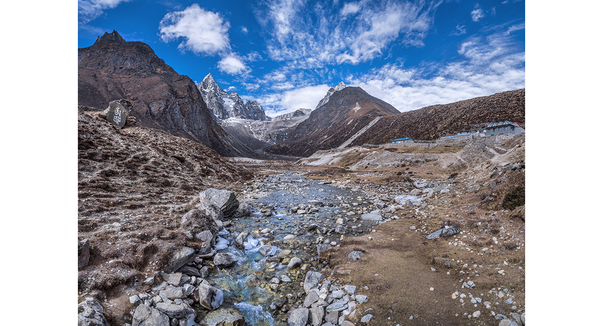
Viewed from Pangka (4,480m), Cholatse (6,335m - left) and Taboche (6,495m - right)


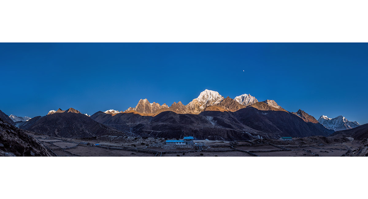
Viewed from Pangka at dusk (4,480m), from left - Cho Oyu, Kangchung, Cholatse, Taboche, Kangtega and Thamserku


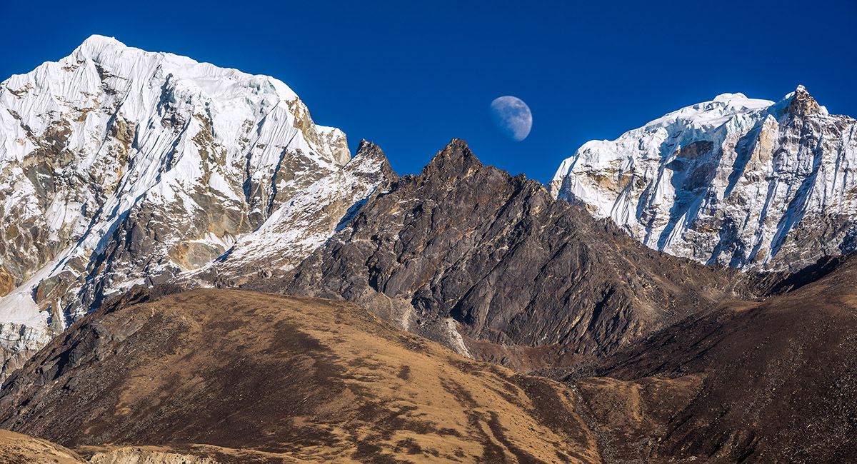
Kangtega and Thamserku, viewed at dawn from Pangka


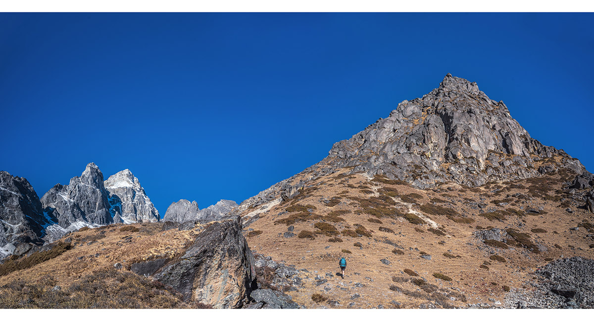
Approaching the Everest Wifi highpoint, north of Pangka


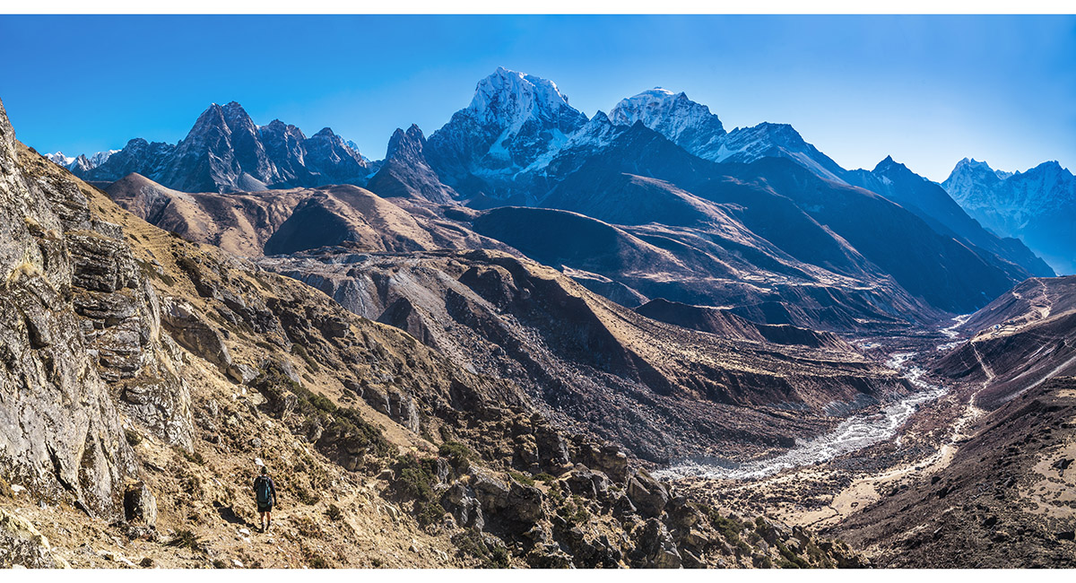
At about 4,750m, with Cholatse and Taboche ahead


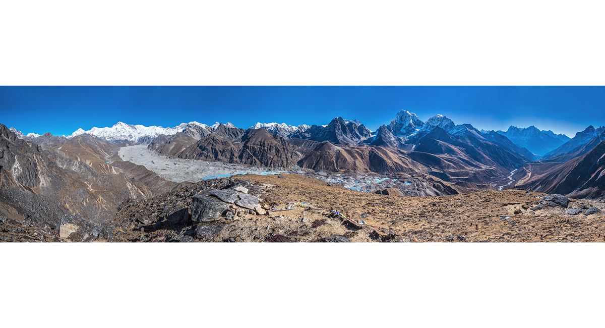
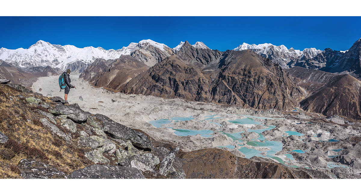
At the Everest Wifi transmitter, 5,000m. The Ngozumpa Glacier reaches south from Cho Oyu. Mt Everest is hidden behind the black rock peak right of centre. Kangtega, Thamserku and Kusum Kangguru are distant right


From left Phasang Lhamu Chuli (7,352m), Nangpai Gosum (7,321m), Cho Oyu (8,201m), Ngozumpa Kang I (7,905m), II (7,720m) and III (7,681m), Gyachung Kang (7,952m) and Kangchung (6,083m)


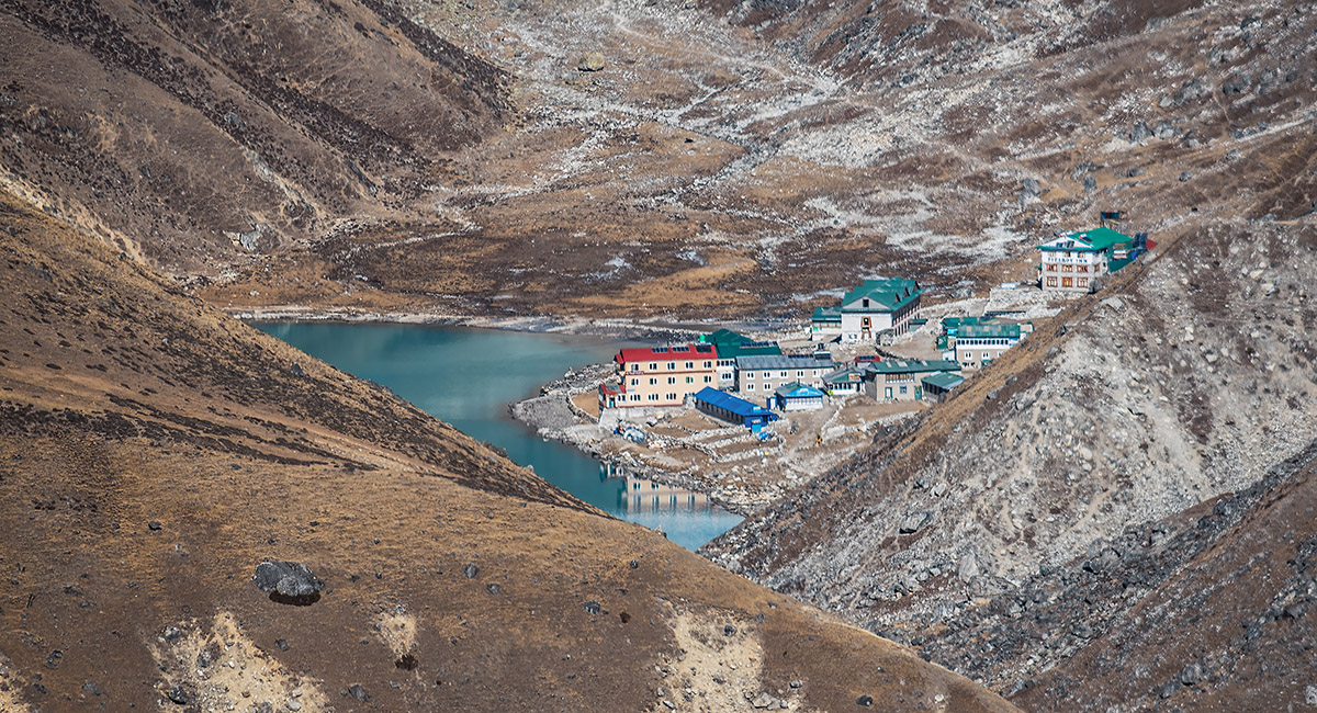
Gokyo (4,750m), viewed from the Everest Wifi transmitter


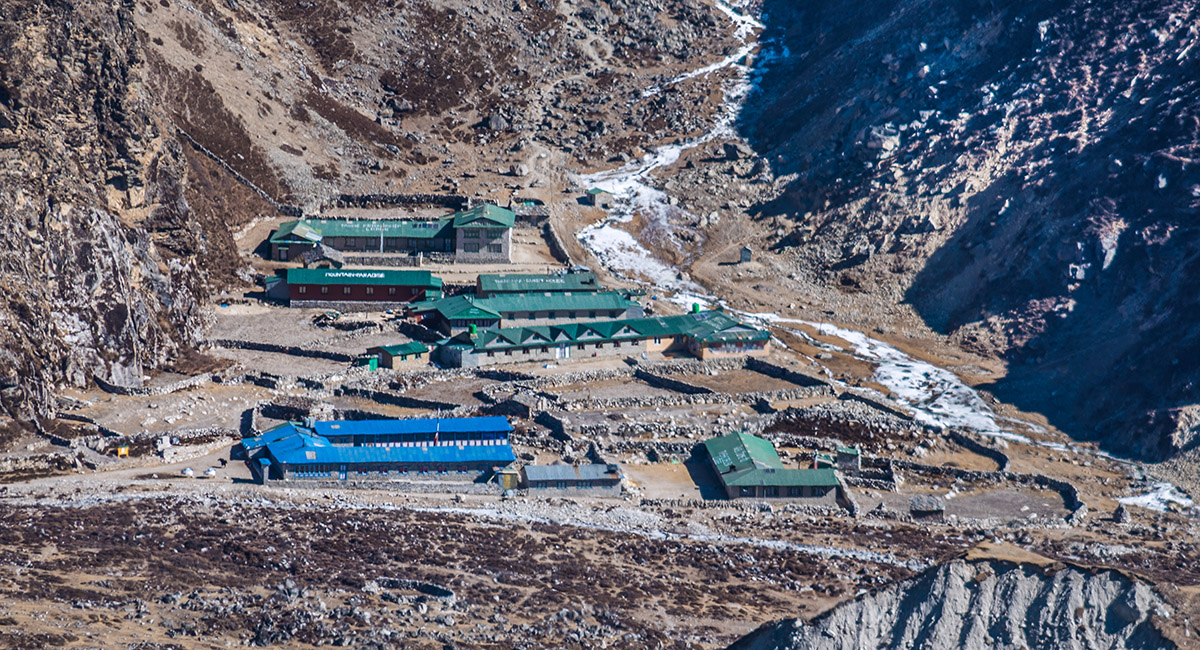
Dragnag (4,690m), viewed from the Everest Wifi transmitter


Preparing to descend from the highpoint. Dragnag is across Ngozumpa glacier on the right


On the descent, with Cholatse and Taboche left of centre. The Everest Group is partly hidden at far left and Khumbi Yul Lha is distant far right


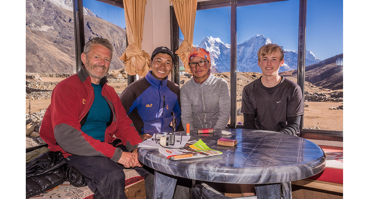
With Mingma (left) and Kanchi Futi, our excellent hosts at Cozy Inn, Pangka


