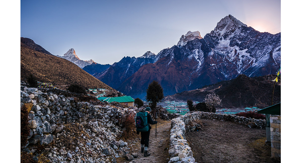
Departing Khunde in the direction of Khumjung, with Ama Dablam, Kangtega and Tamserku


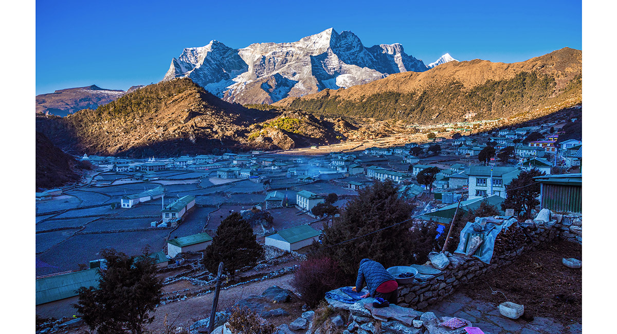
A view from Khumjung, back to Khunde and Kwangde (6,187m). Khunde Peak is on the far right skyline


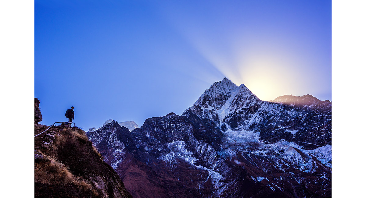
Sunburst over Tamserku, viewed from the trail north of Khumjung


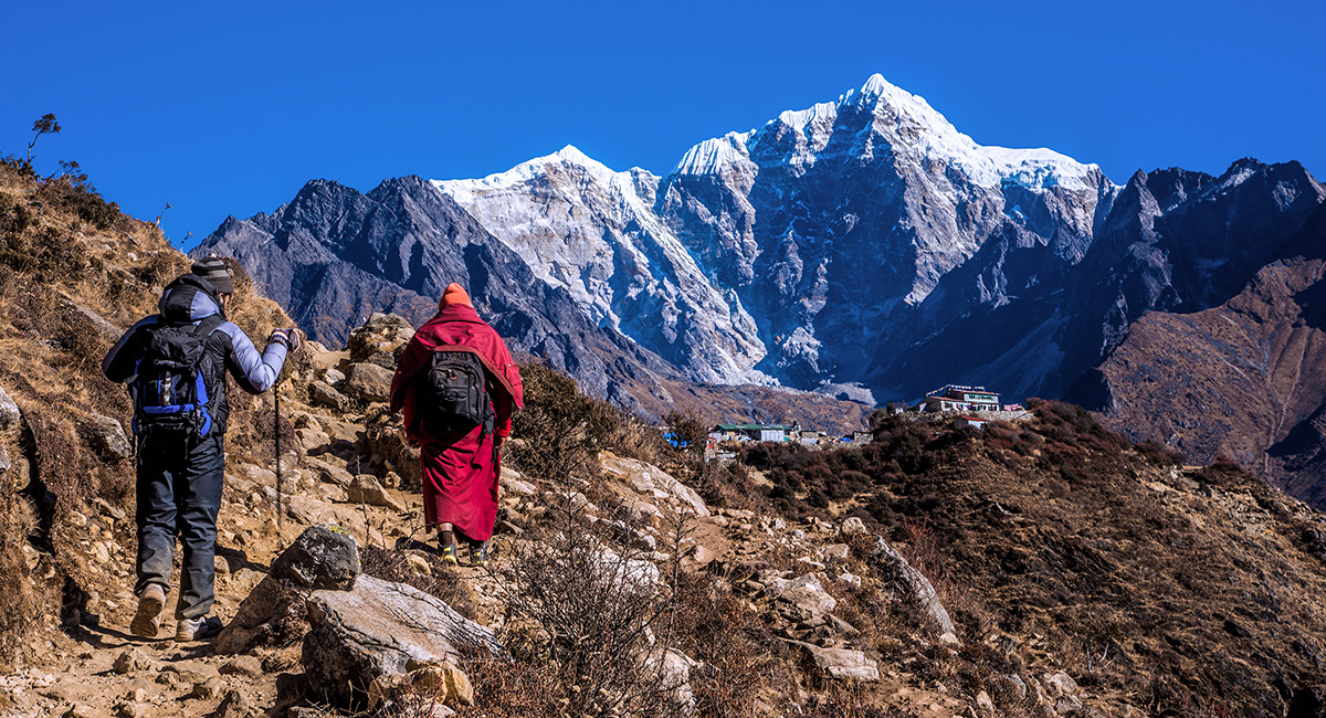
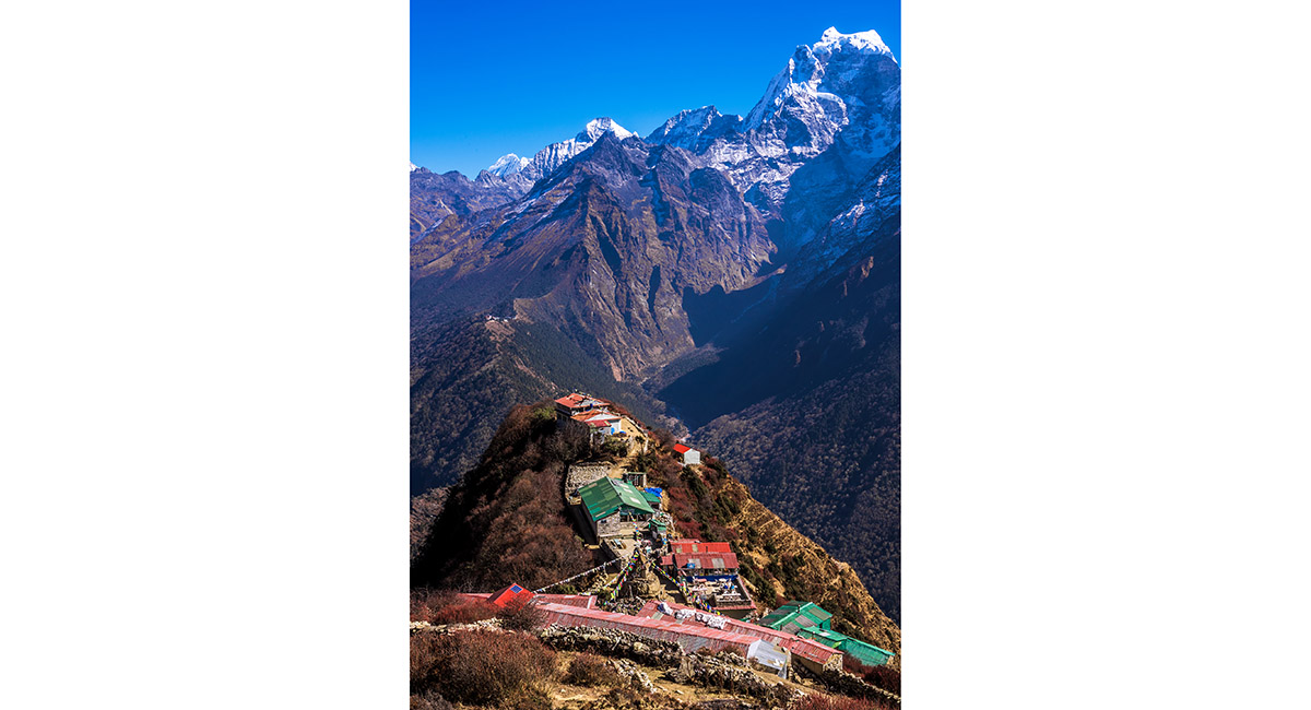
Approaching Mong La (3,980m), with Cholatse (left - 6,440m) and Tawoche (6,542m) behind


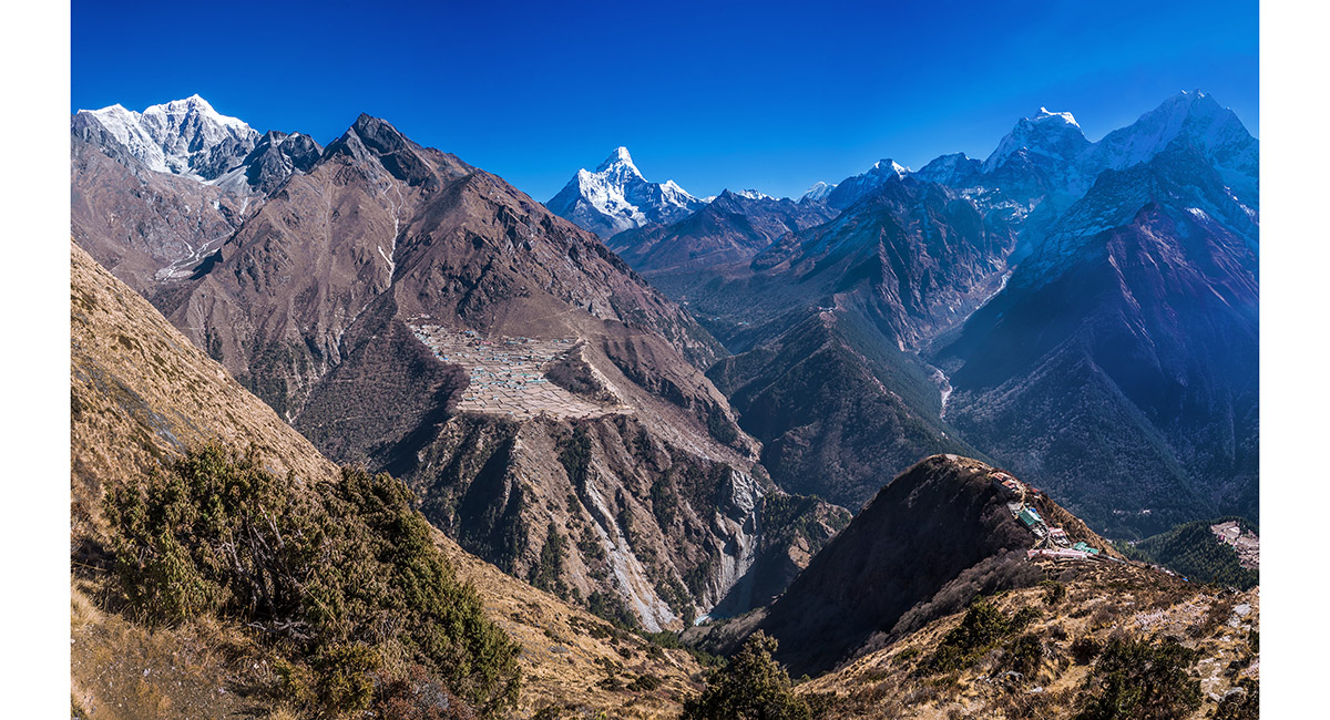
A view from the flanks of Khumbila at about 4,300m, looking north over Mong La (bottom right) to Ama Dablam, Kangtega and Tamserku. Tengboche (3,967m) is on the ridge stretching north above Mong La. Phortse village (3,840m) is left with Tawoche and Cholatse behind


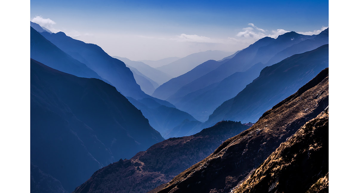
A view south down the Dudh kosi valley from above Mong La


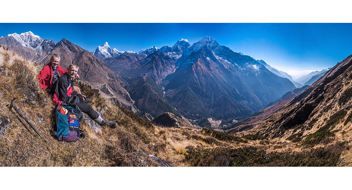
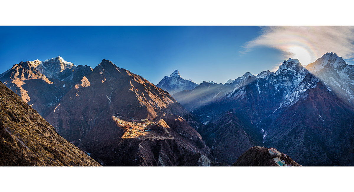
The big view from our vantage point at 4,300m above Mong La, stretching from Tawoche on the far left to the Dhud Kosi valley far right


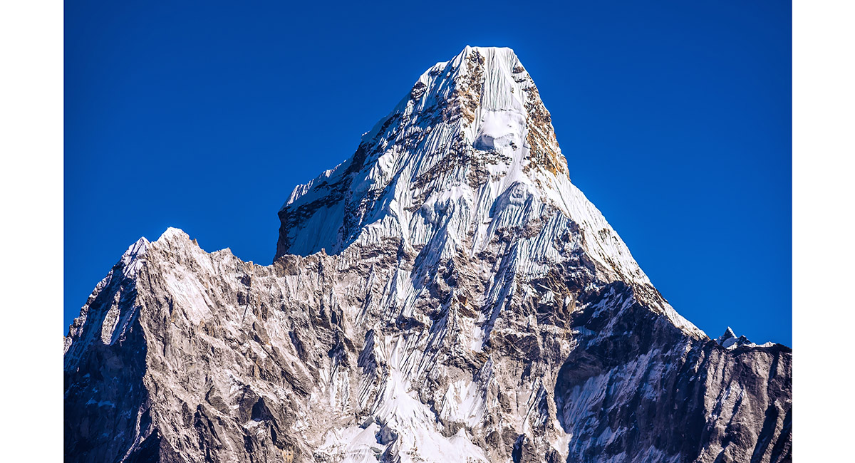
Ama Dablam (6,856m). The normal guided route is up the steep snow and ice faces on the right side


Mong La, with Kangtega behind


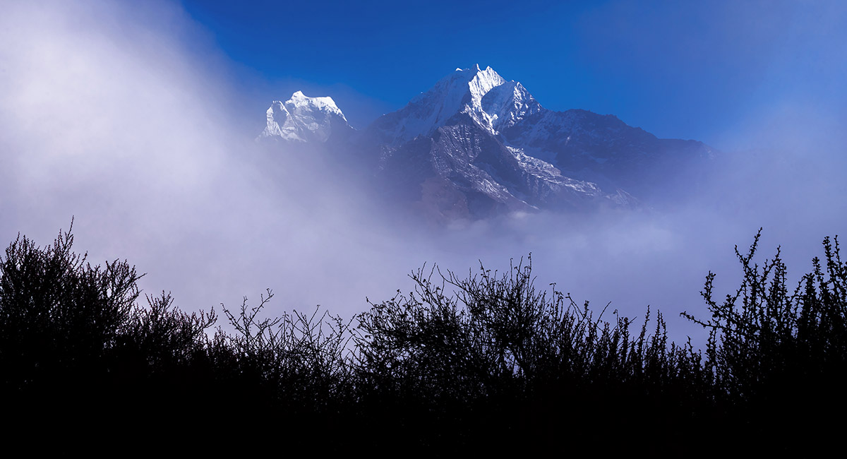
Kangtega (left - 6,779m) and Tamserku (6,608m), viewed from Mong La at dusk


The big view from our vantage point at 4,300m above Mong La, stretching from Tawoche on the far left to Tamserku far right
> Mong La to Lusa
To order a print or web resolution file of any image you see in this slide show, just right click the image, click “Copy Image URL” and paste in to the “Your message” box of our Contact Us form. Please also note, for each image, if you want a print or web resolution file. We will get back to you as soon as possible to confirm price and payment details.

