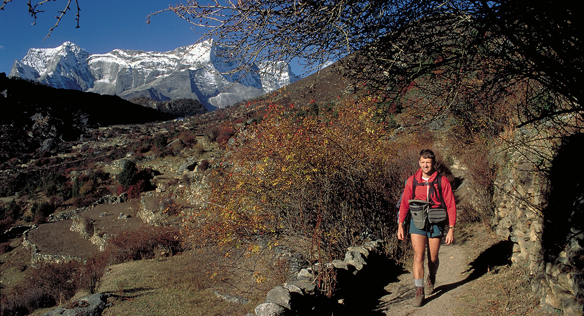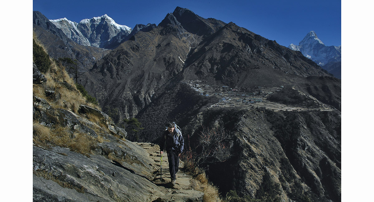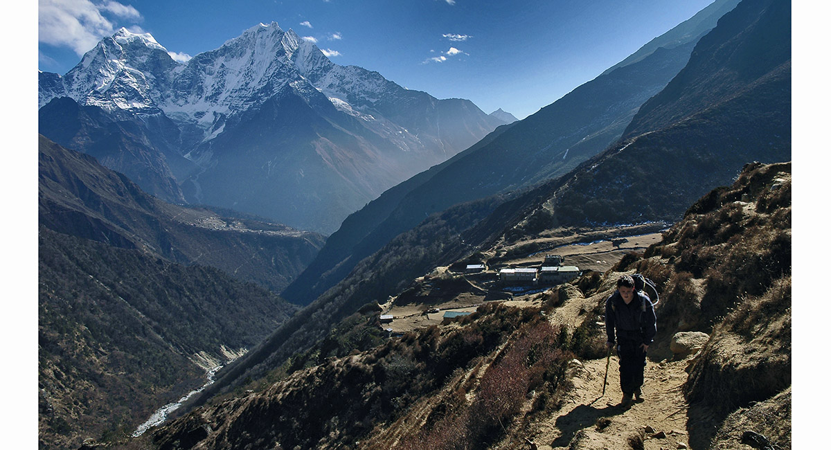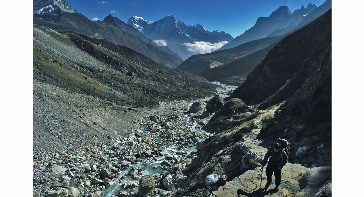
On the trail between Khumjung and Mong La, with the Kwangde massif behind


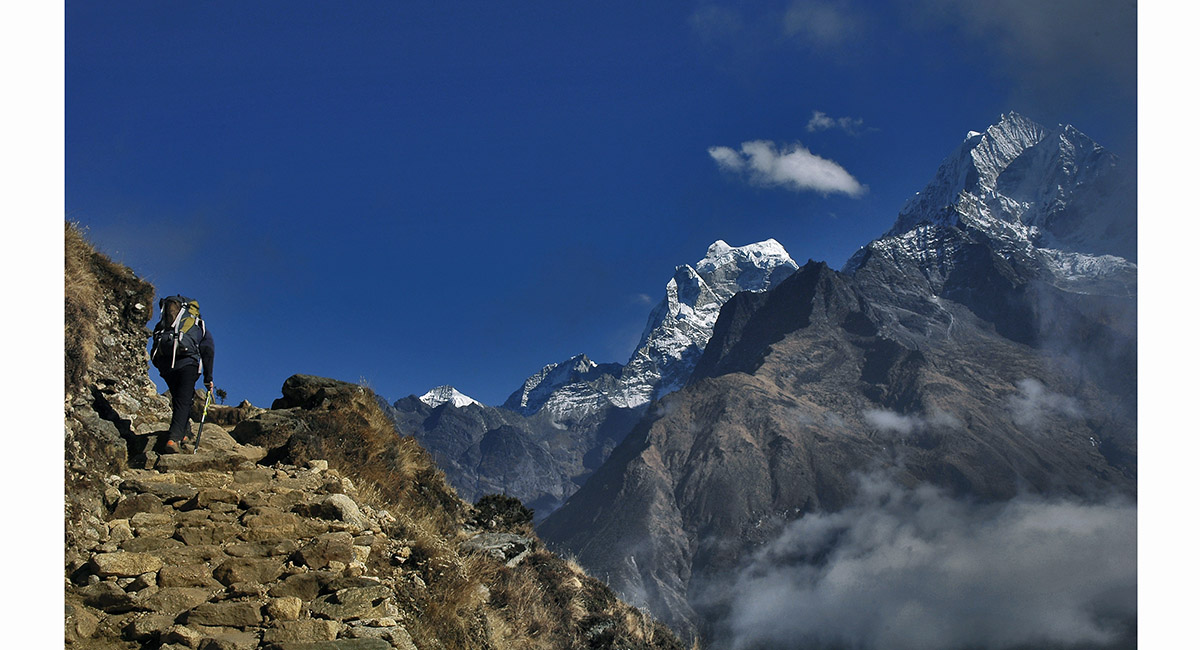
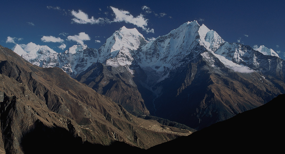
Stone staircase between Khumjung and Mong. Kangtega (centre right) and Tamserku (far right) tower above


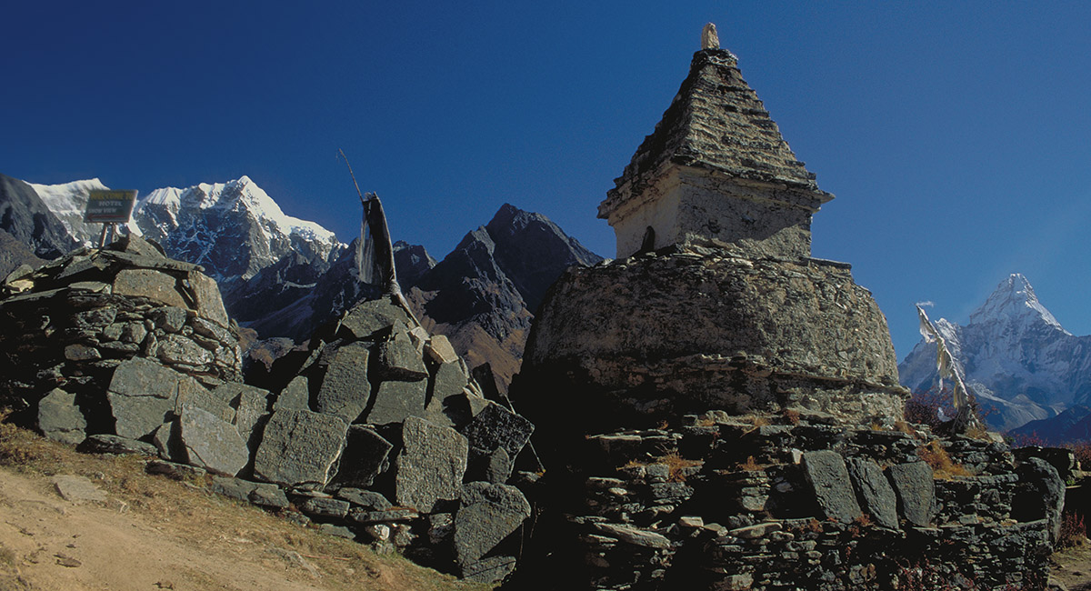
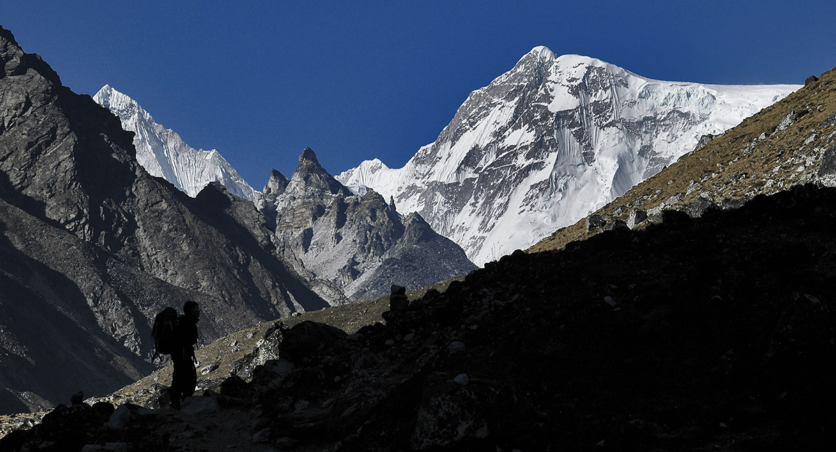
On Mong La (3,973m) with, from left, Cholatse, Tawoche and Ama Dablam


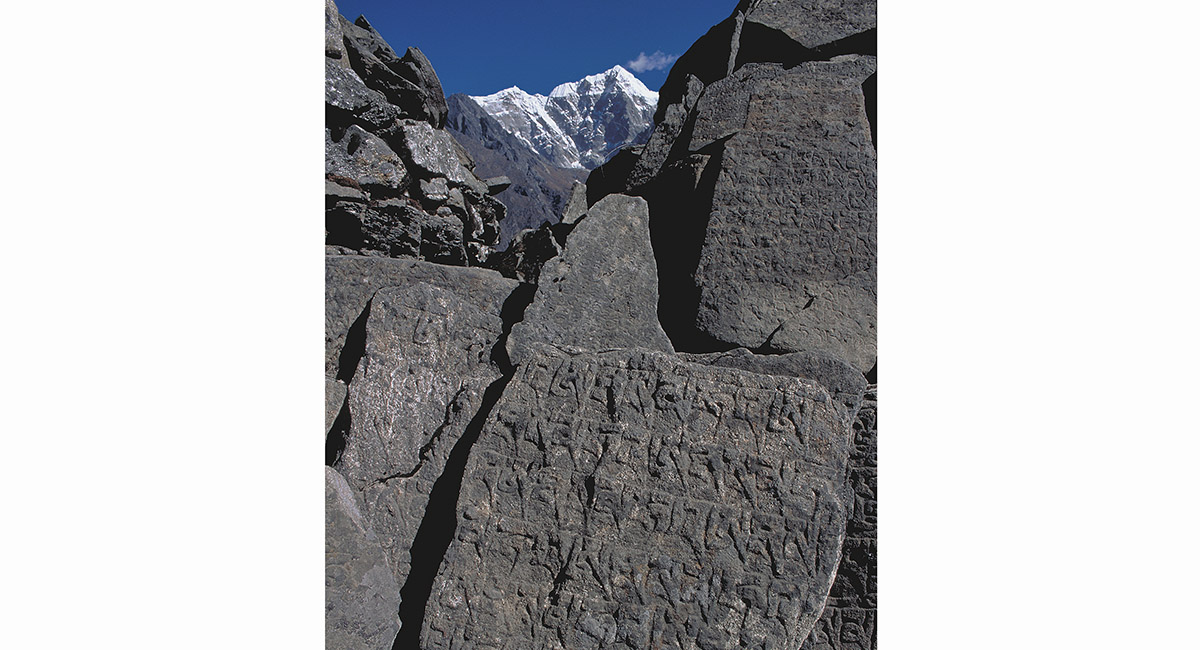
Cholatse and Tawoche, seen from Mong La


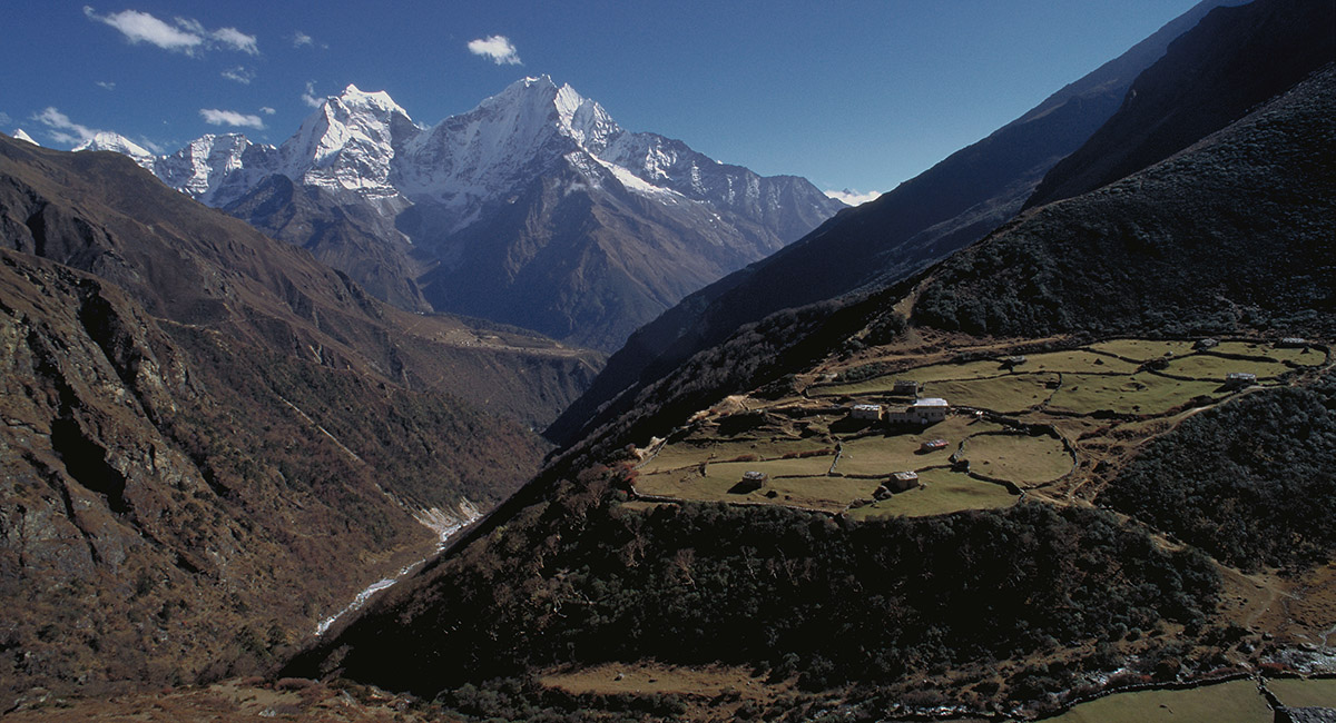
Near Mong La. Phortse is across the valley, Cholatse left and Ama Dablam right


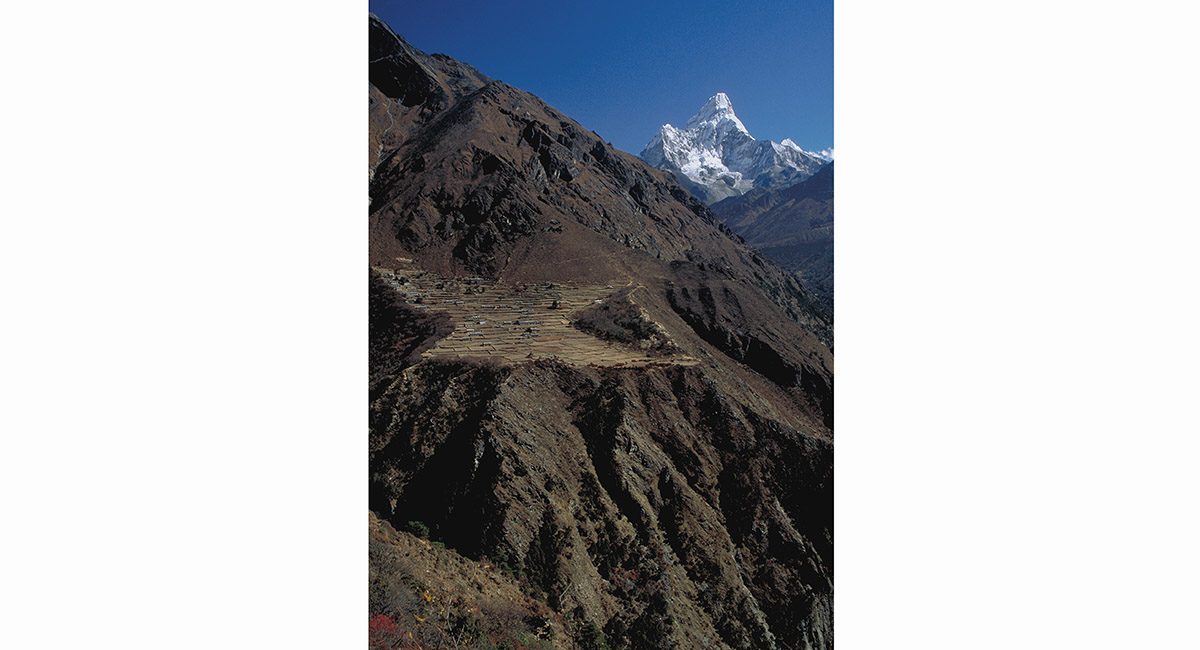
Phortse Village and Ama Dablam


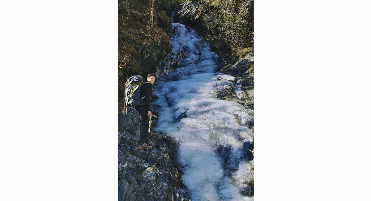
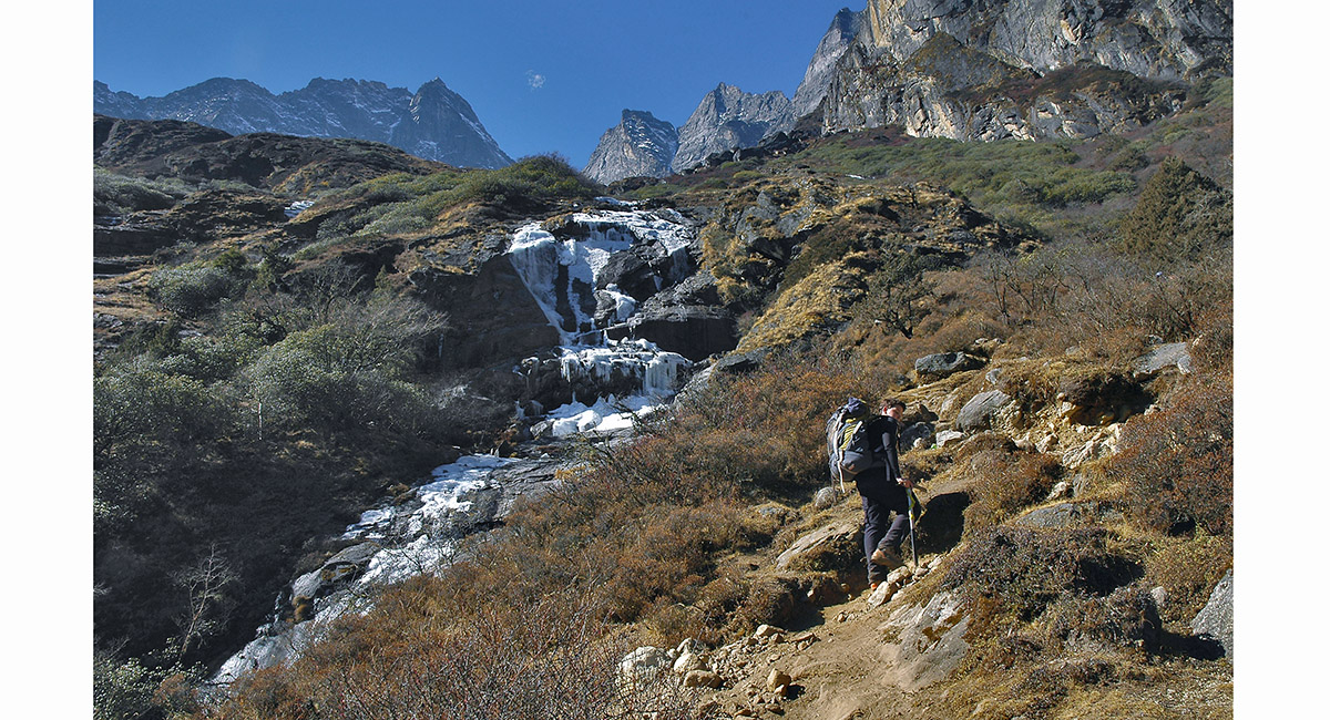
Frozen waterfall below Dole


Frozen waterfall below Dole


Above Dole, looking back to Kangtega and Tamserku, with Phortse Village dewarfed beneath


Kangdiri (?), Kangtega and Tamserku, seen from near Dole (4,000m+/-)


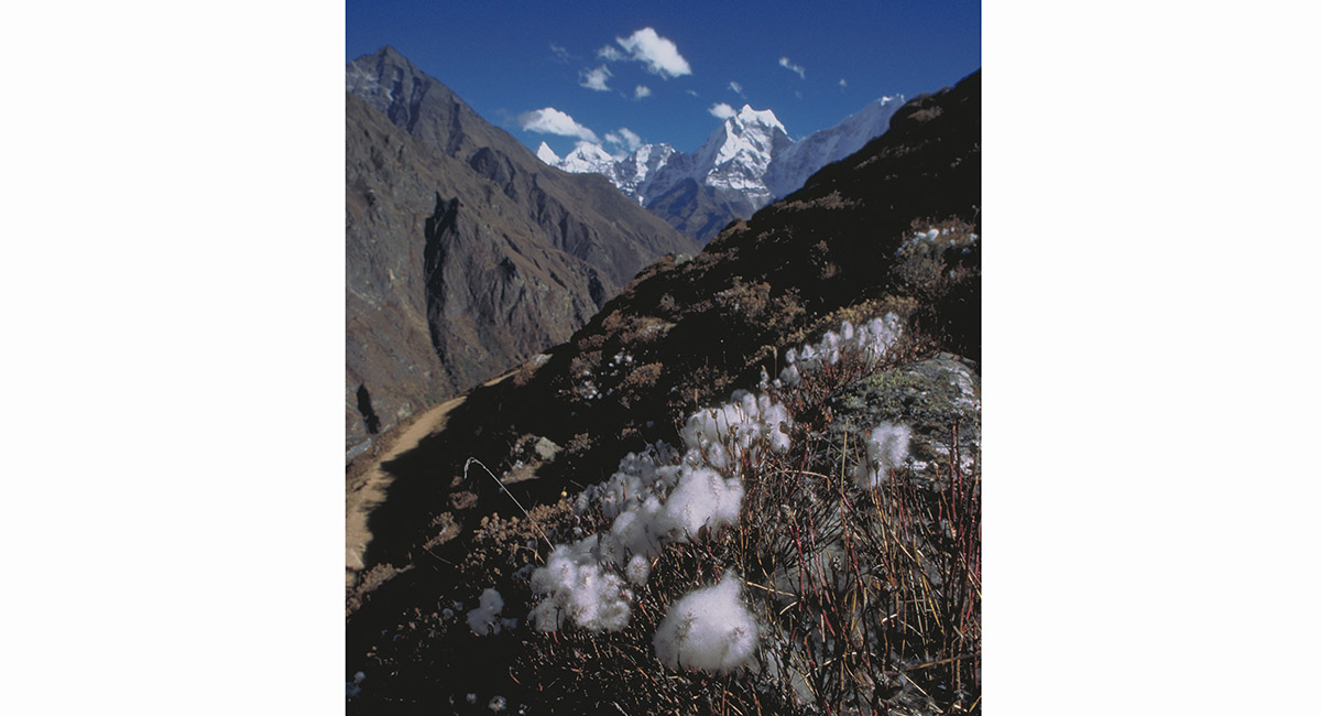
Near Lhabarma (4,320m), cotton plants appear to float beside trail


Kangdiri (?), Kangtega and Tamserku, seen from Lhabarma


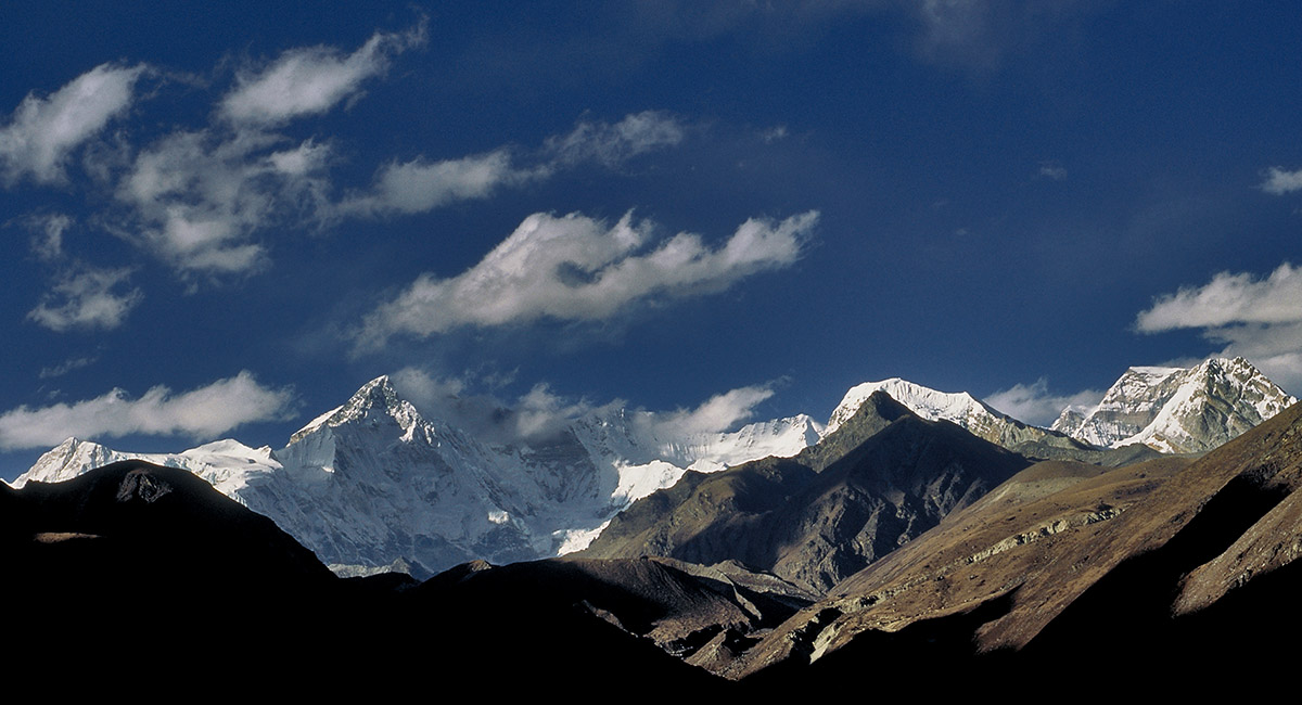
Cho Oyu (left, 8,201m) and Gyachang Kang (7,922m), seen from Lhabarma


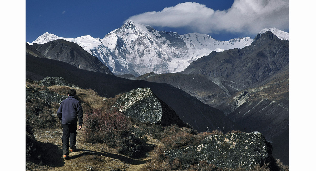
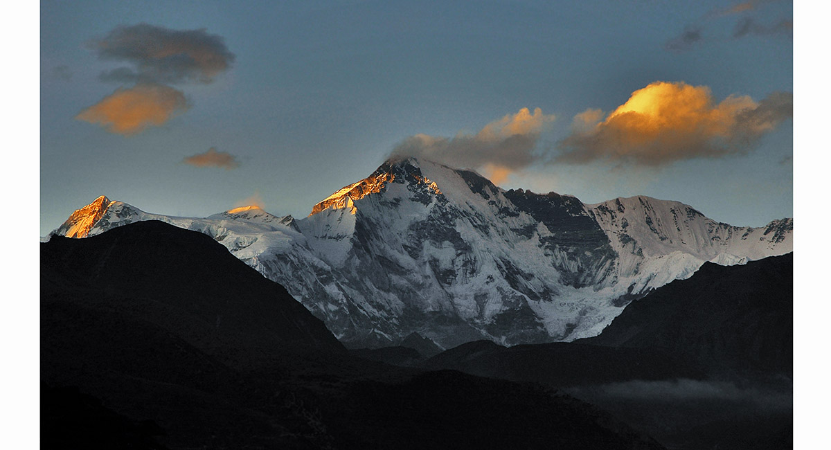
View of Cho Oyu from Lhabarma (4,320m)


View of Cho Oyu from Lhabarma (4,320m)


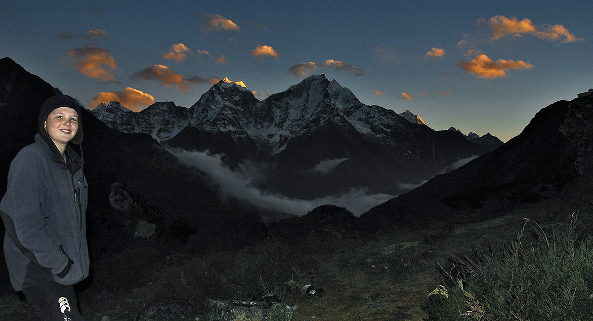
View back to Kangtega (6,779m) and Tamserku (6,608m) from Lhabarma (4,320m)


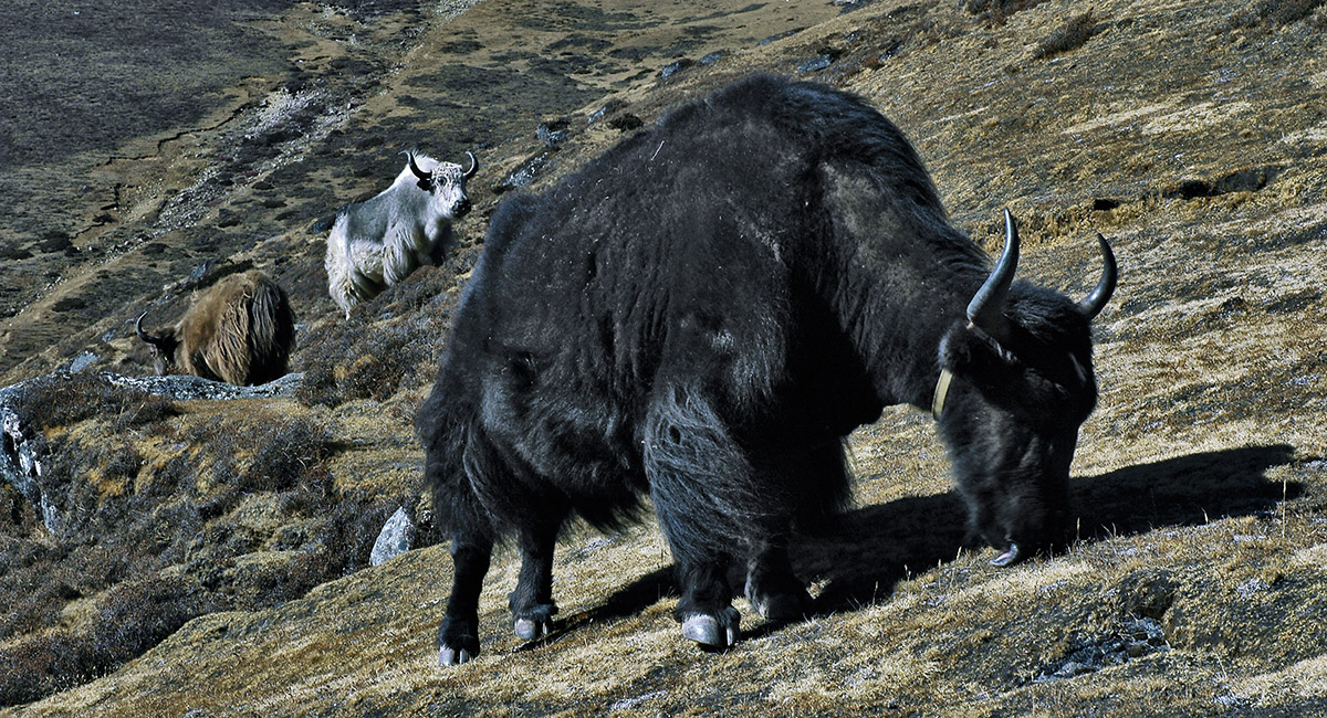
Yaks grazing below Machherma


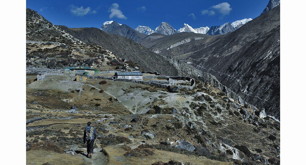
Approaching Machherma (4,410m)


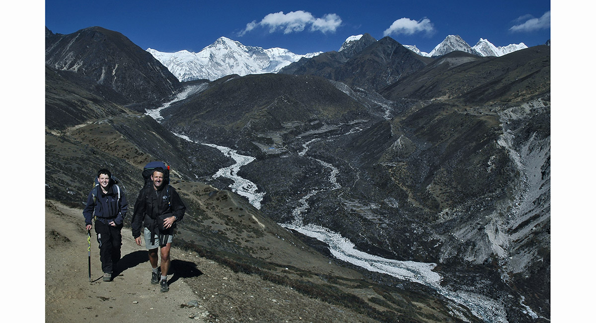
Before Pangka (4,400m). Cho Oyu (8,201m) is left and Gyachang Kang (7,922m) right


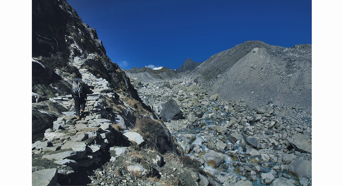
Ascending the stone staircase at the terminal moraine of Ngozumpa Glacier, below Gokyo


Looking back to Pangka, with Kangtega (6,779m), Tamserku (6,608m) and Kassum Kanguru (6,369m) beyond


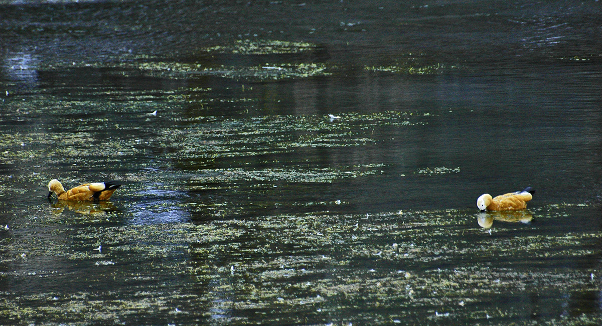
Very hardy locals in the near frozen first lake, below Gokyo


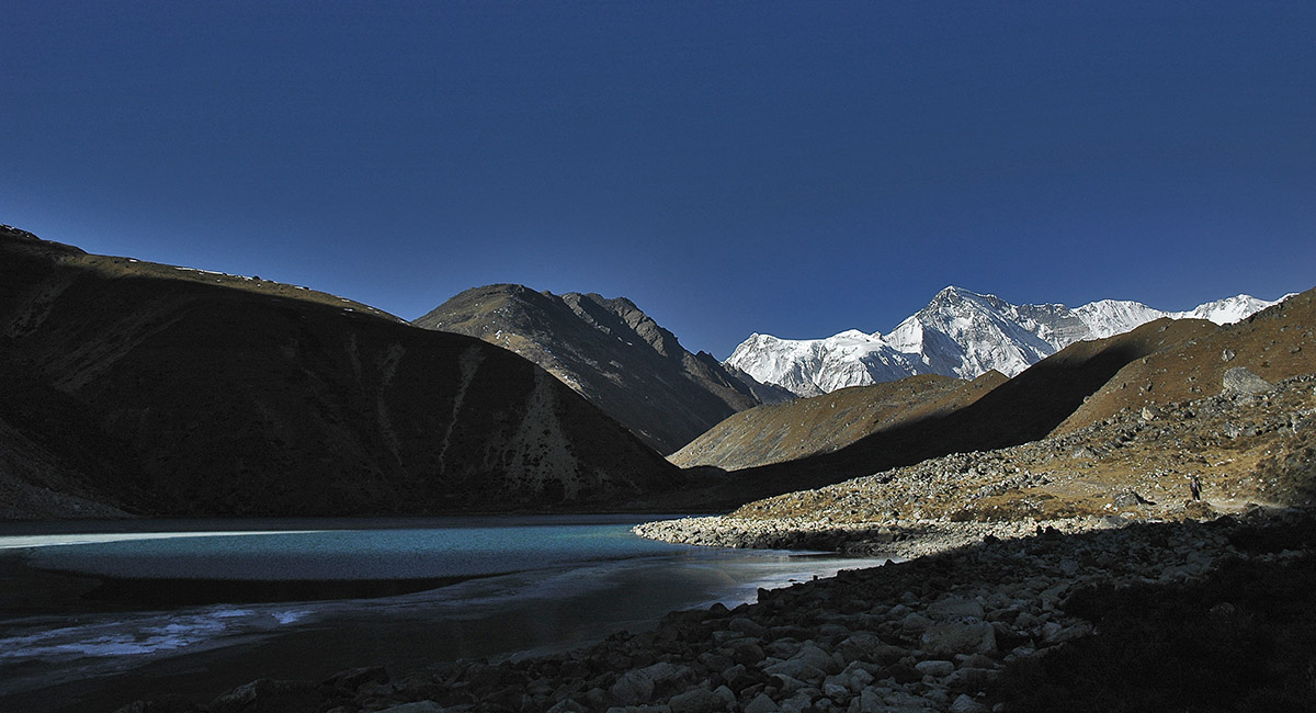
Nearing the end of a day's walk on the approach to Gokyo, with the Frozen Fingers and Cho Oyu providing a striking view


The second lake, before Gokyo. The dark rock mound just left of centre is Gokyo Ri (5,483m)


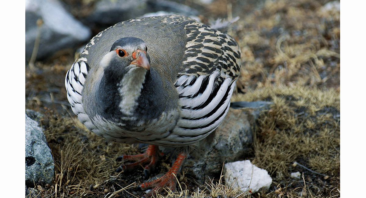
Himalayan Snow Cock, near Gokyo
> Gokyo

