Yosemite, April 2017
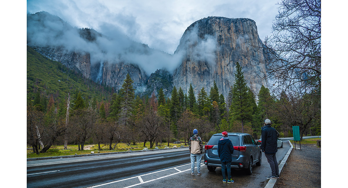
A view of El Capitan from the valley floor, Yosemite Valley

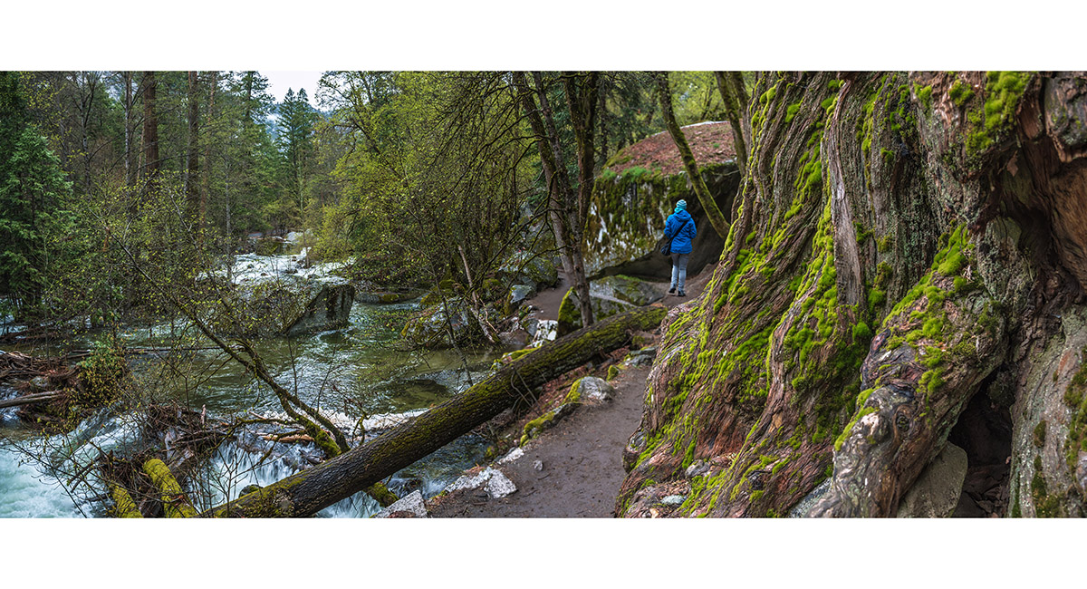
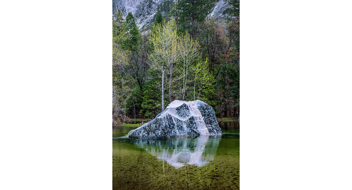
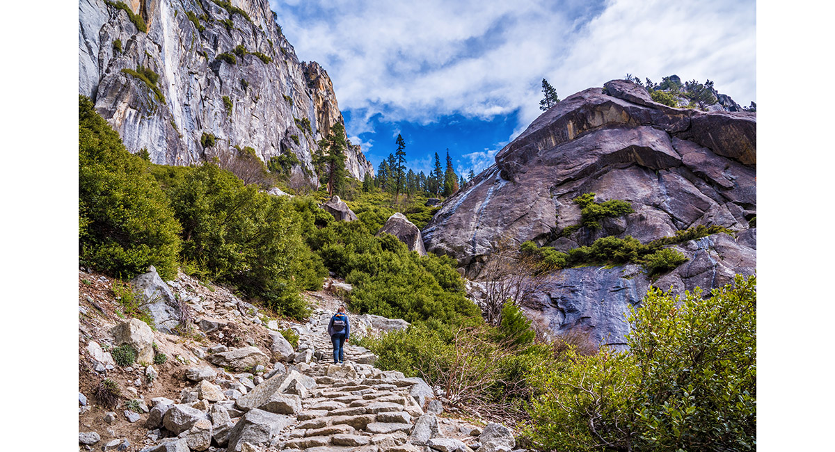
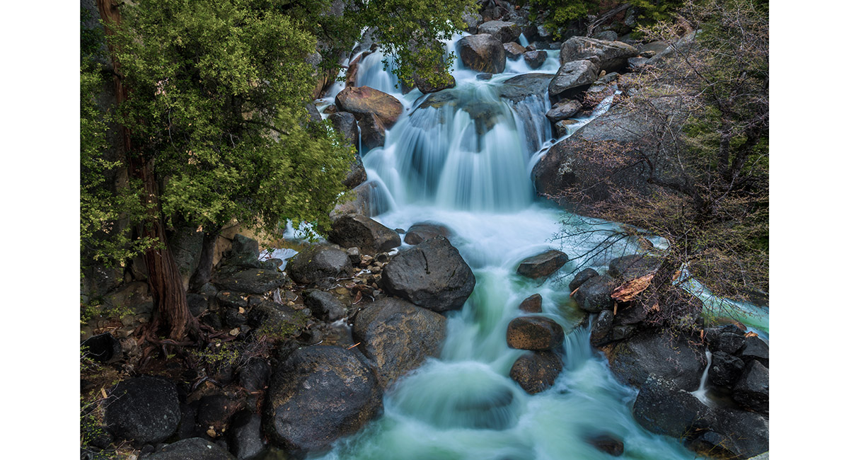
On the south side of the trail beside Tenaya Creek, below Mirror Lake

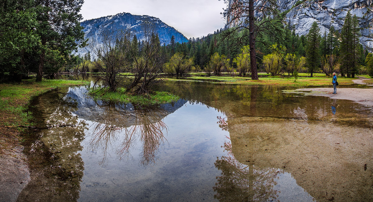
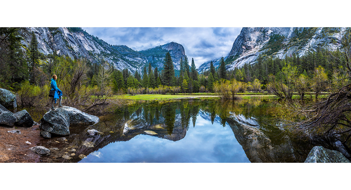
A view on the south side of Mirror Lake (1,248m)

A view on the south side of Mirror Lake (1,248m)

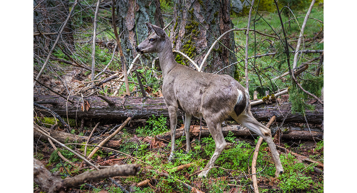
A local encounter on the trail

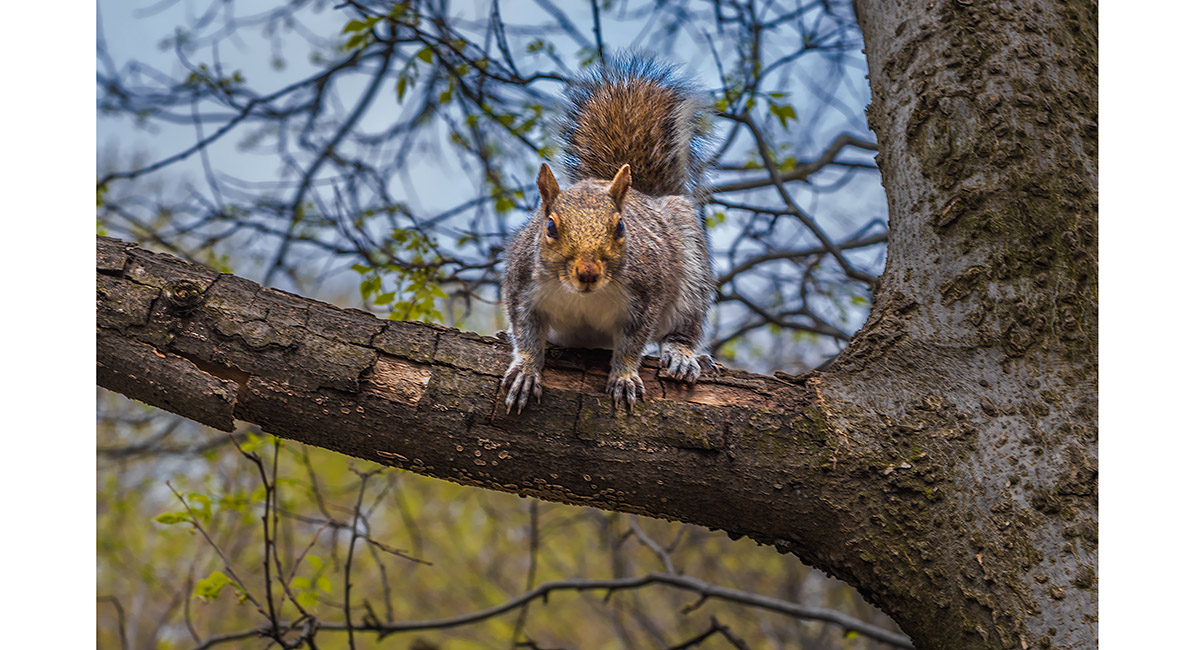
Another local encounter on the trail

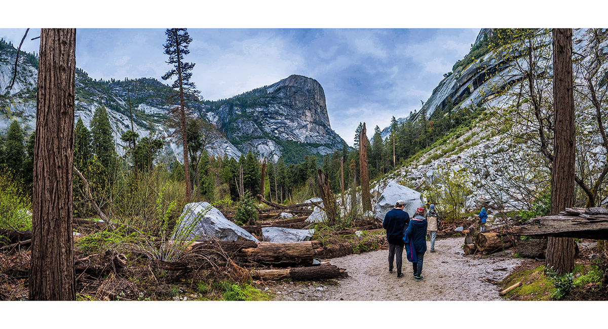
On the upper section of the Tenaya Creek walk, beneath Half Dome

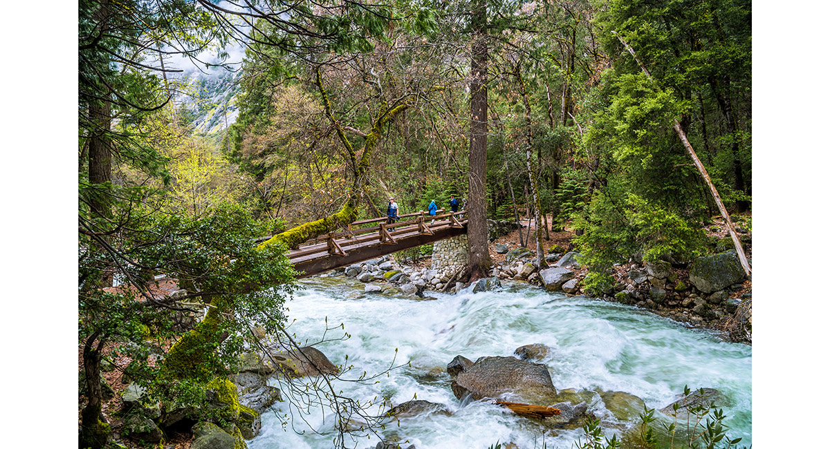
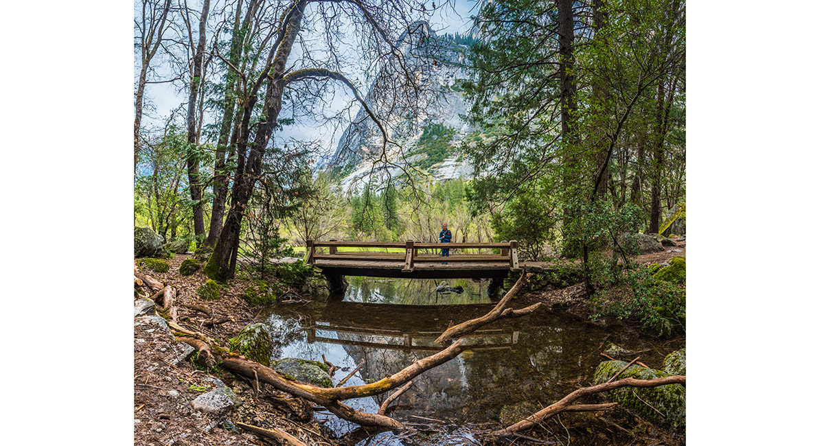
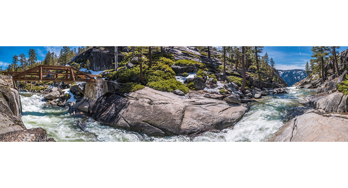
At the top bridge crossing Tenaya Creek, giving access to the north side

Another foot bridge on the north side of the Tenaya Creek trail

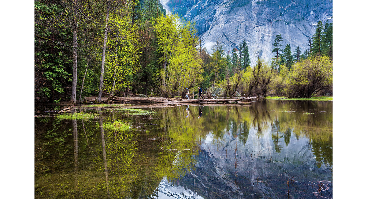
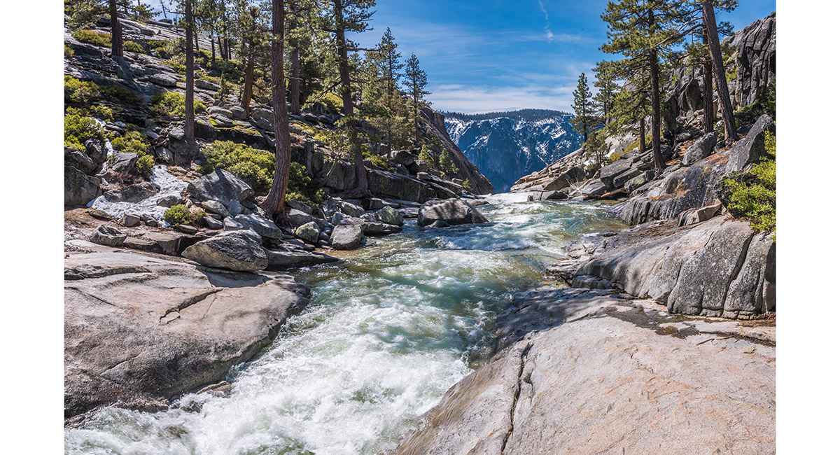
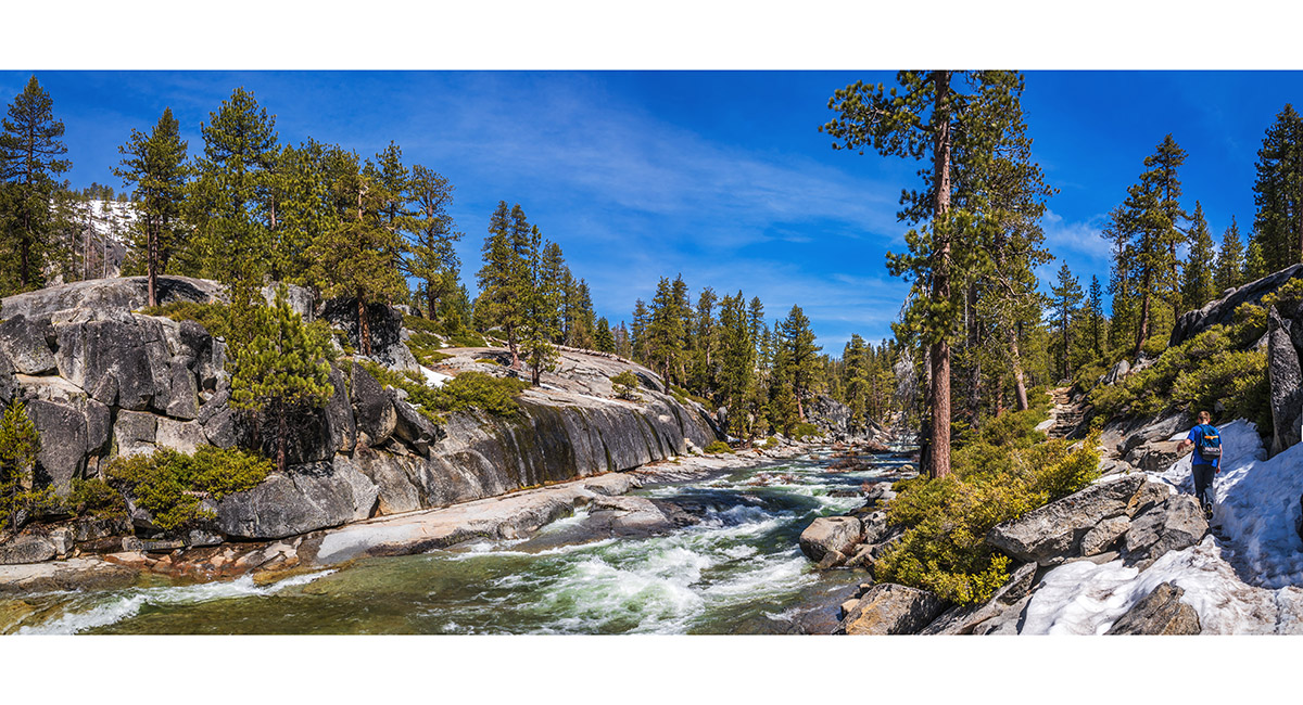
A view on the north side of Mirror Lake

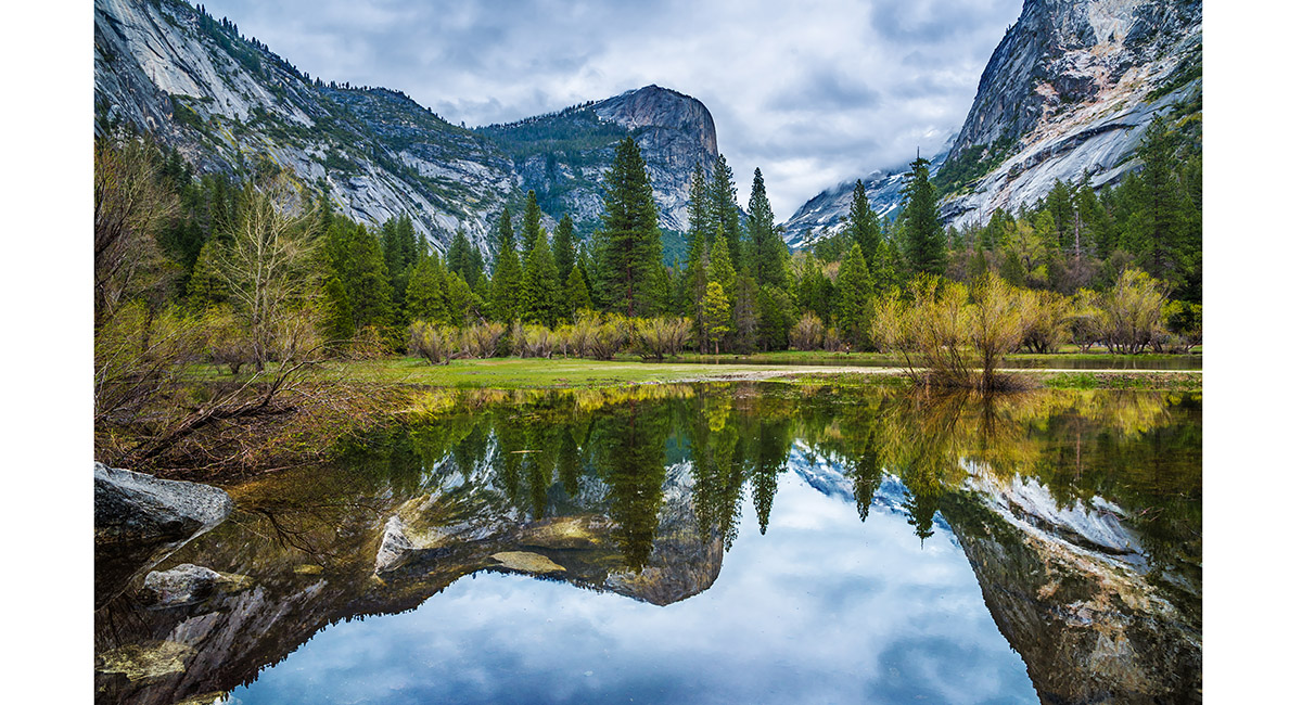
A view on the north side of Mirror Lake

A view on the north side of Mirror Lake

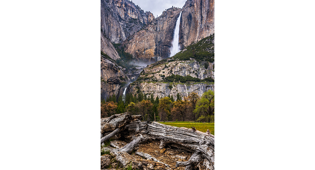
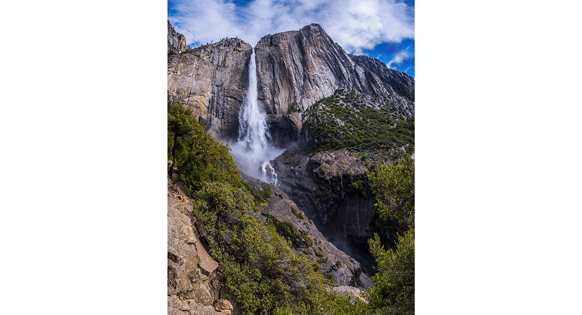
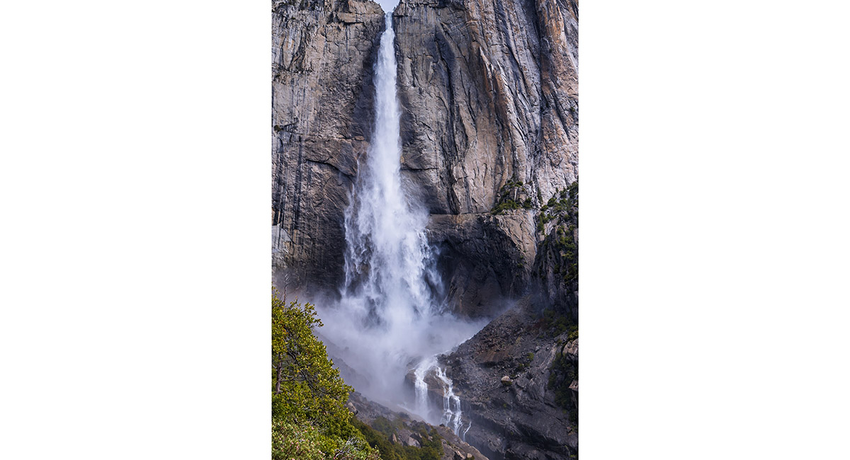
Upper and Lower Yosemite Fall, viewed from the valley floor

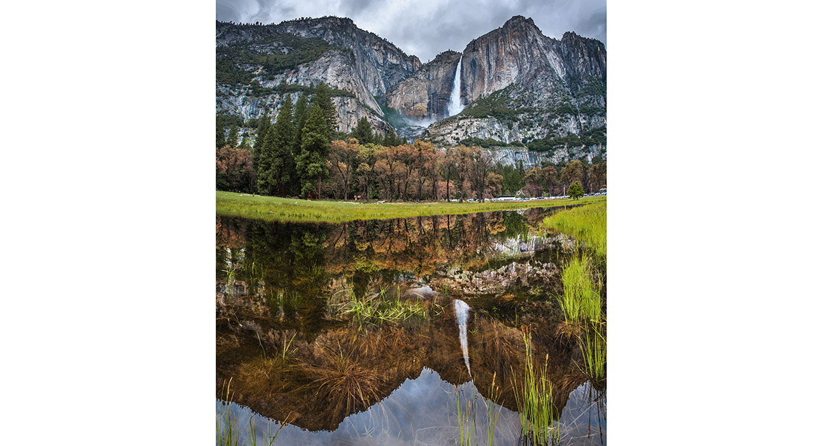
Upper Yosemite Fall, viewed from the valley floor

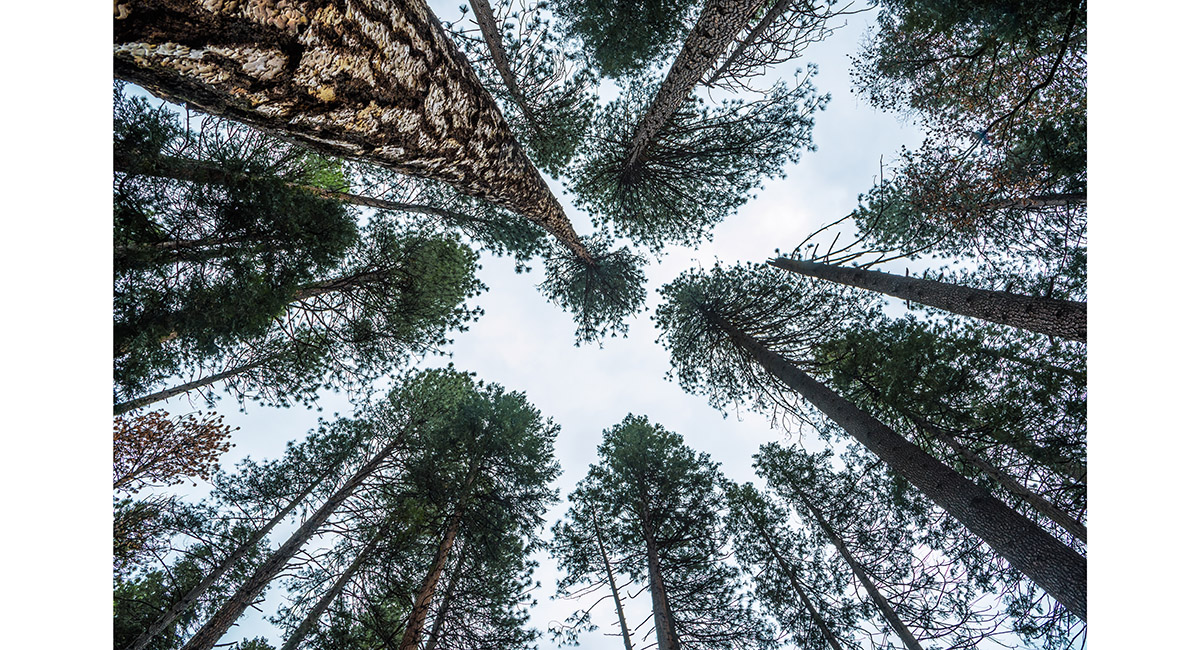
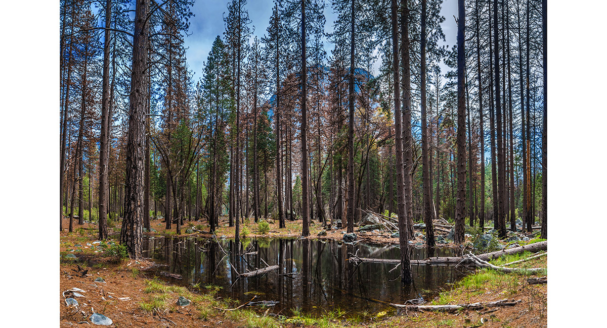
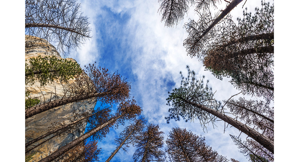
Looking skyward in the forest on the valley floor

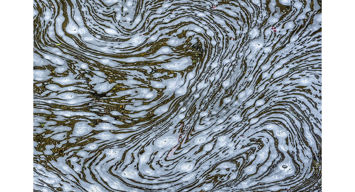
Natural water foam beneath Yosemite Fall

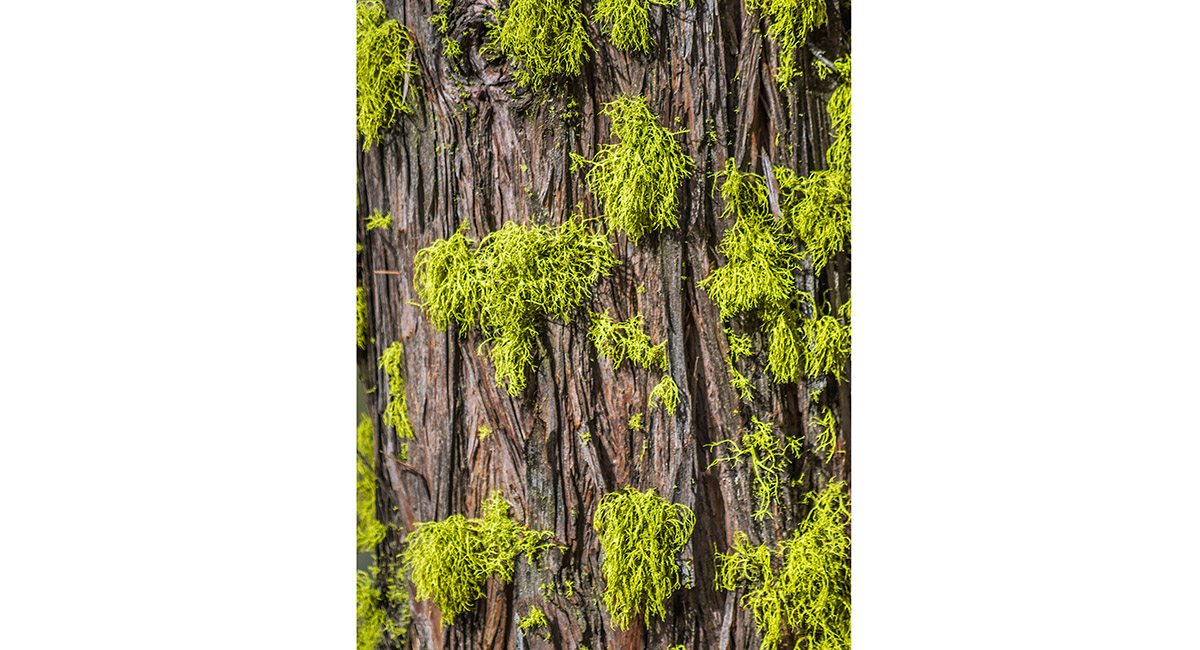
Typical moss growing on the sheltered side of a tree trunk

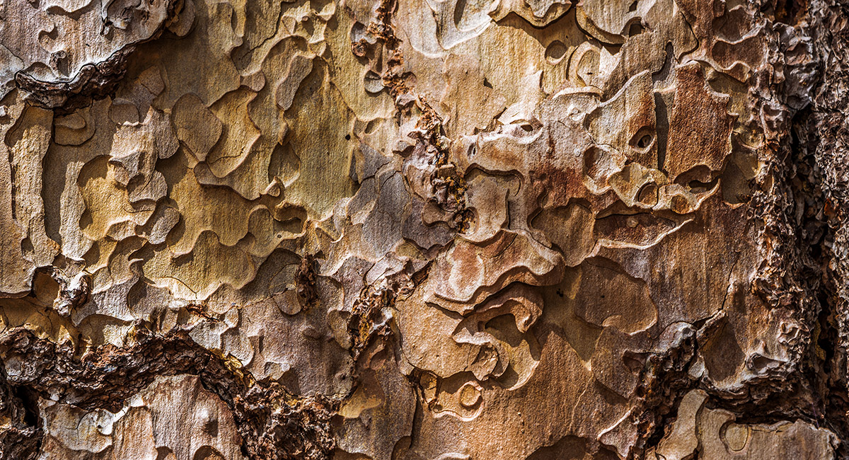
Tree bark


A section of Lower Yosemite Fall

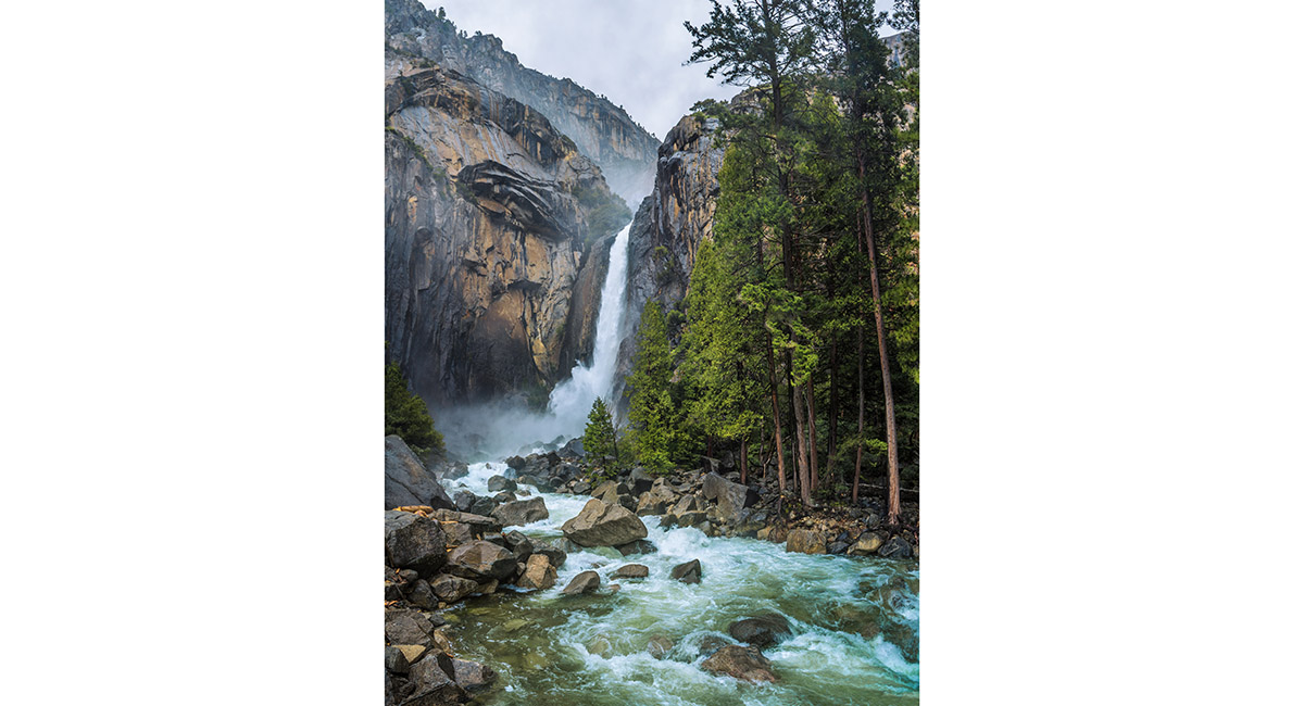
Lower Yosemite Fall

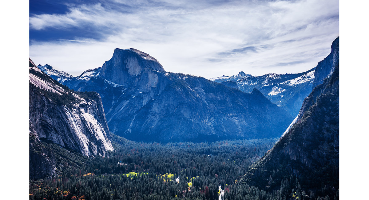
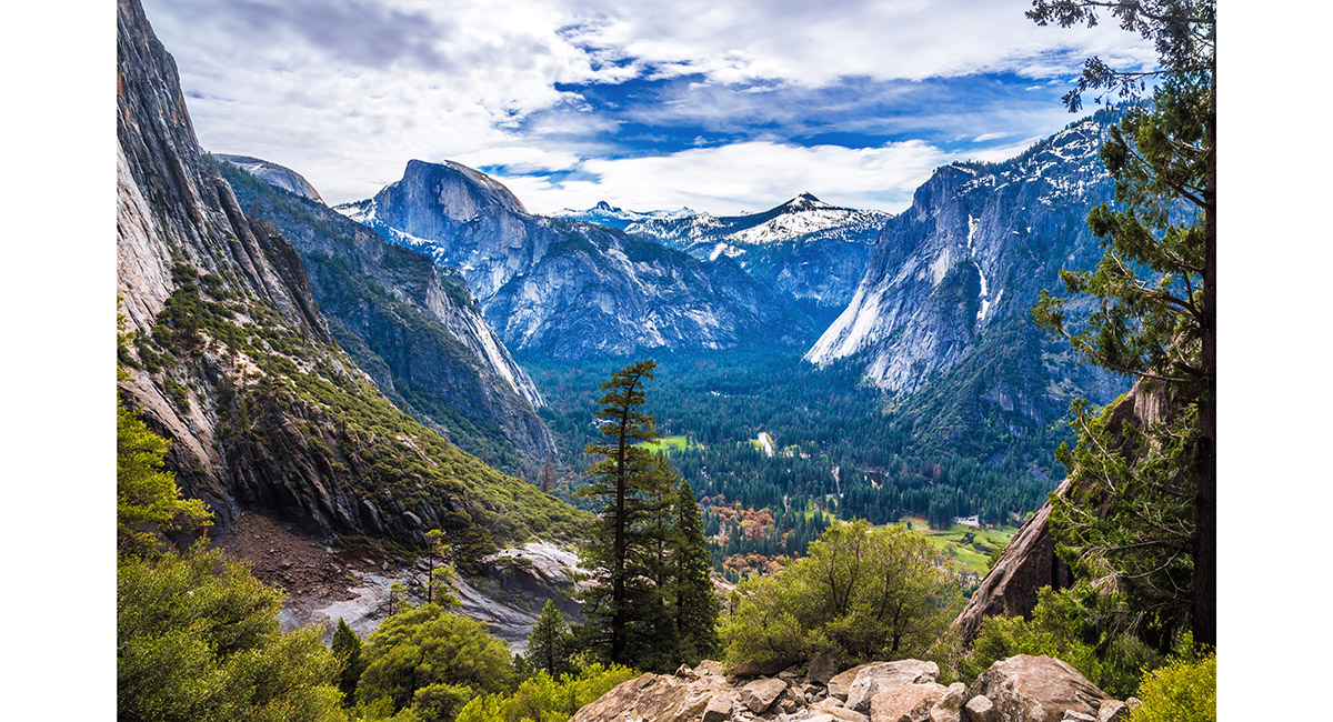
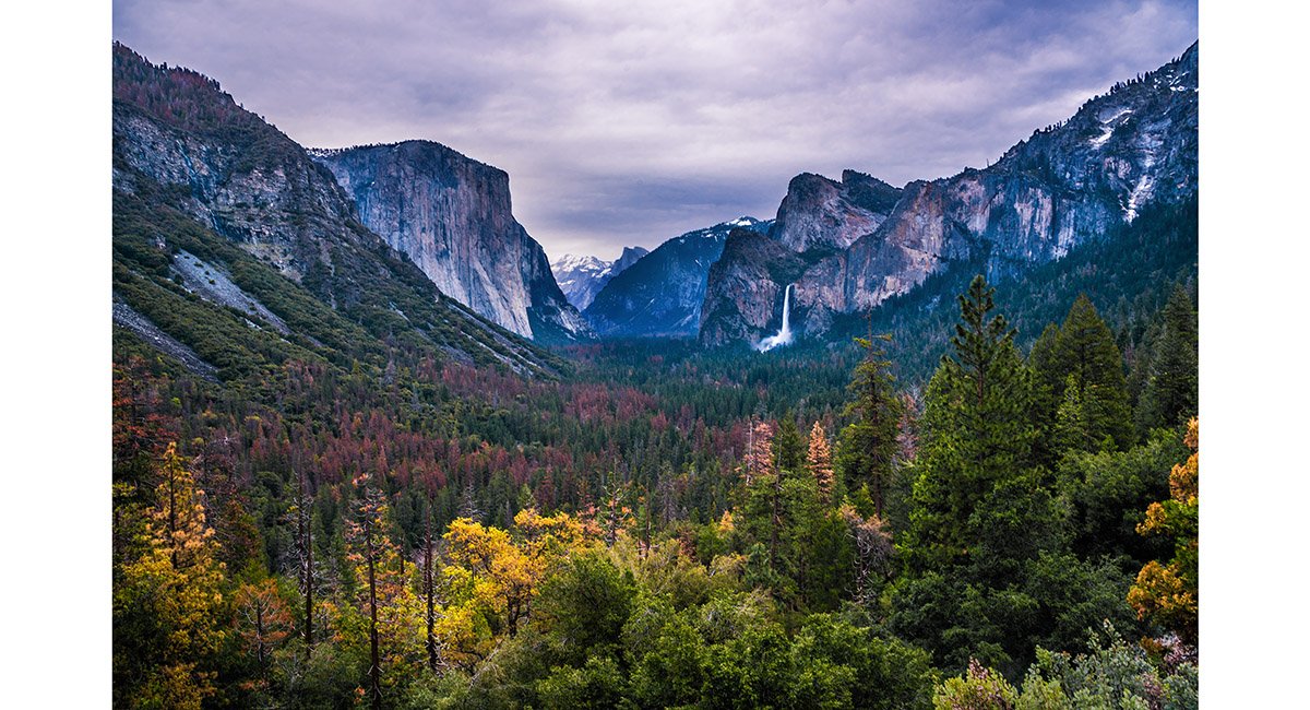
The view from Inspiration Point (1,700m), looking east down Yosemite Valley to El Capitan (2,307m, left), Half Dome (2,693m, in cloud distant centre) and Bridalveil Fall (right)

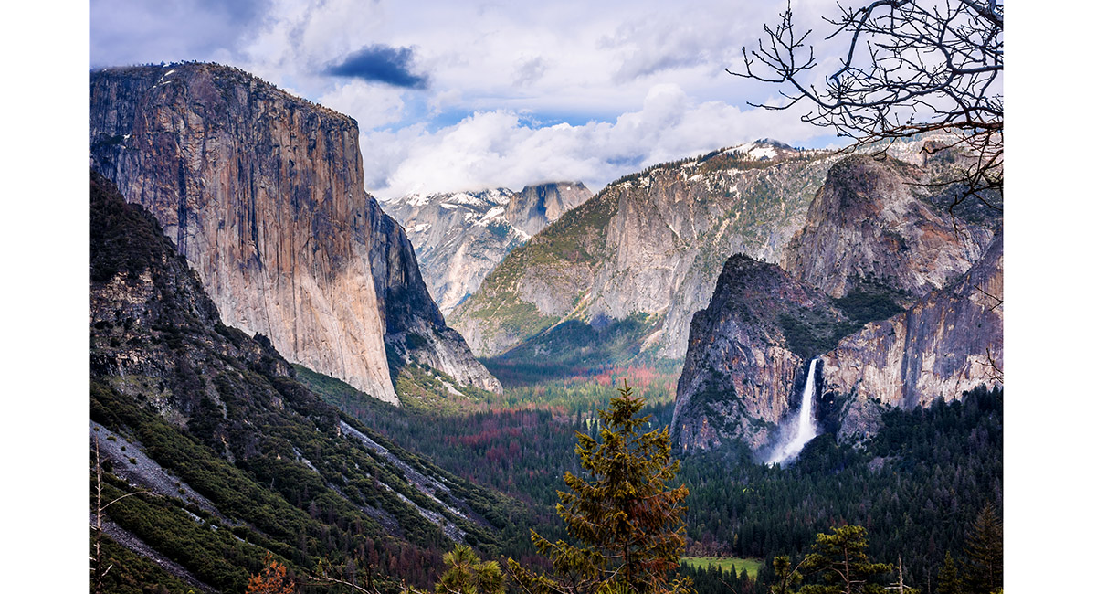
The view from Inspiration Point (1,700m), looking east down Yosemite Valley to El Capitan (2,307m, left), Half Dome (2,693m, in cloud distant centre) and Bridalveil Fall (right)

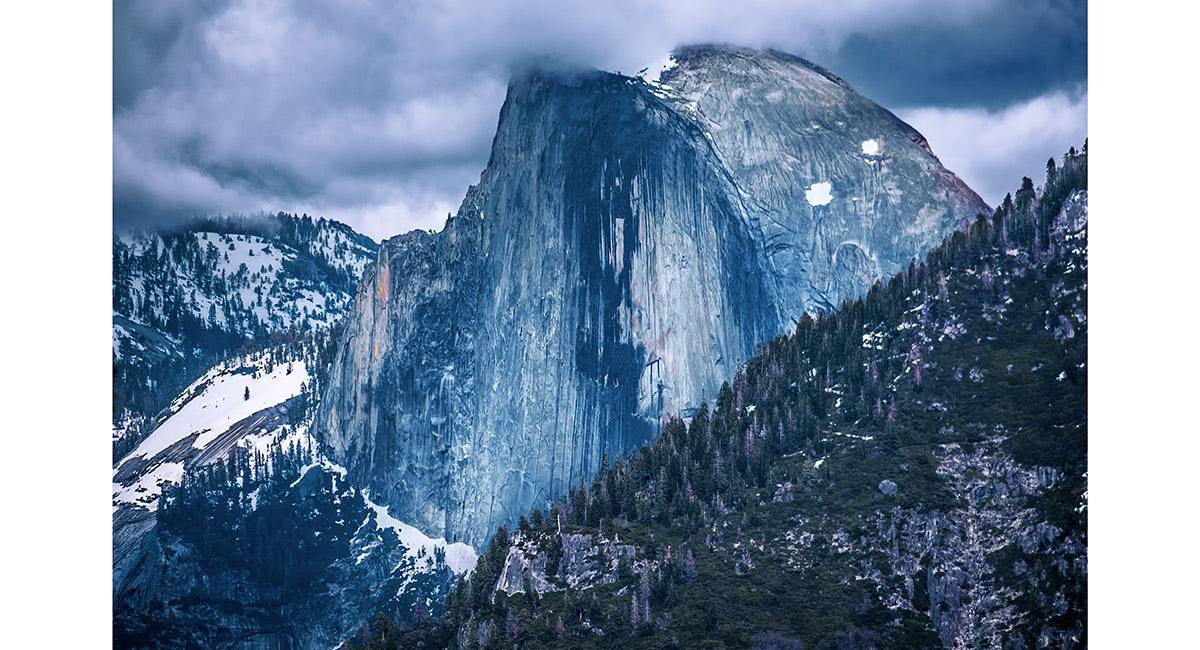
Half Dome (2,693m), viewed from the west at Inspiration Point

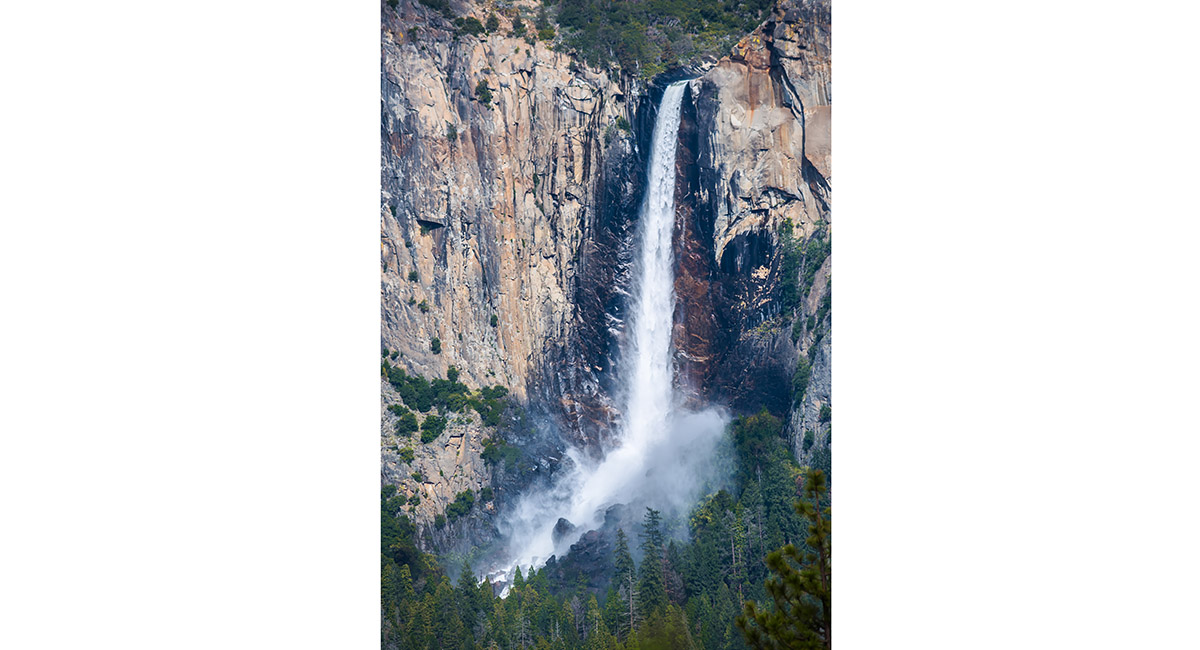
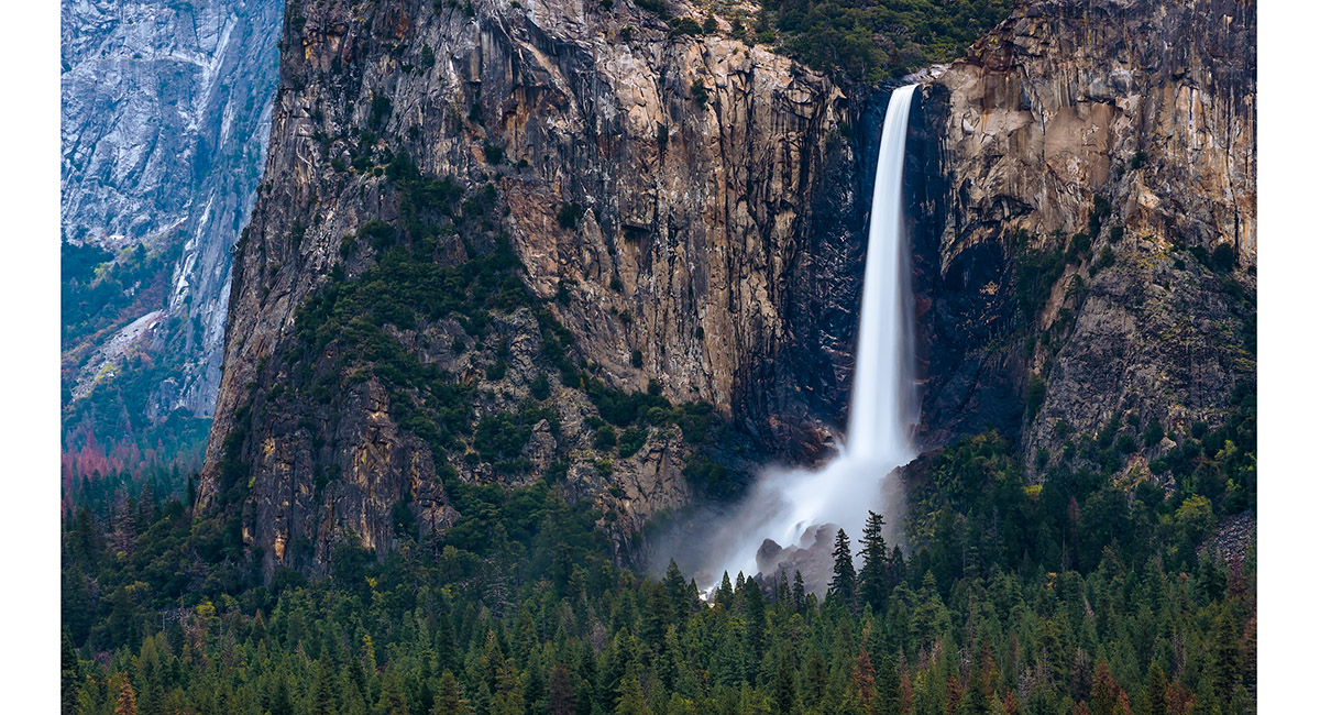
Bridalveil Fall, viewed from the west at Inspiration Point

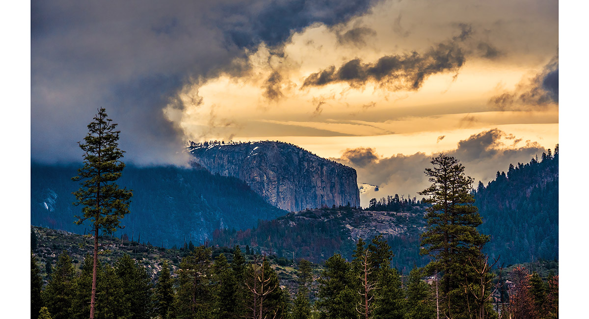
El Capitan, viewed at dusk from Foresta

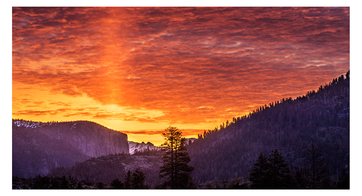
El Capitan, viewed at dawn from Foresta

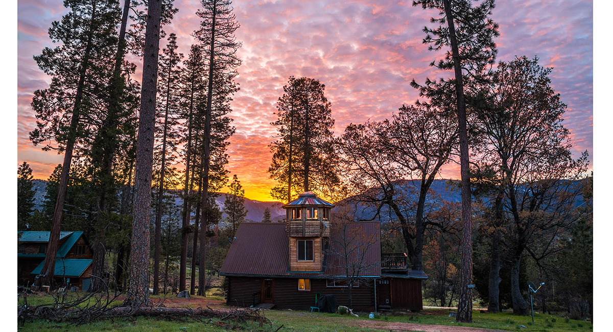
Our log cabin lodgings at Foresta at dawn

Half Dome, viewed from the lower section of the trail leading to Yosemite Point

Upper Yosemite Fall, viewed from about the halfway point on the trail leading to Yosemite Point

Upper Yosemite Fall, viewed from about the halfway point on the trail leading to Yosemite Point

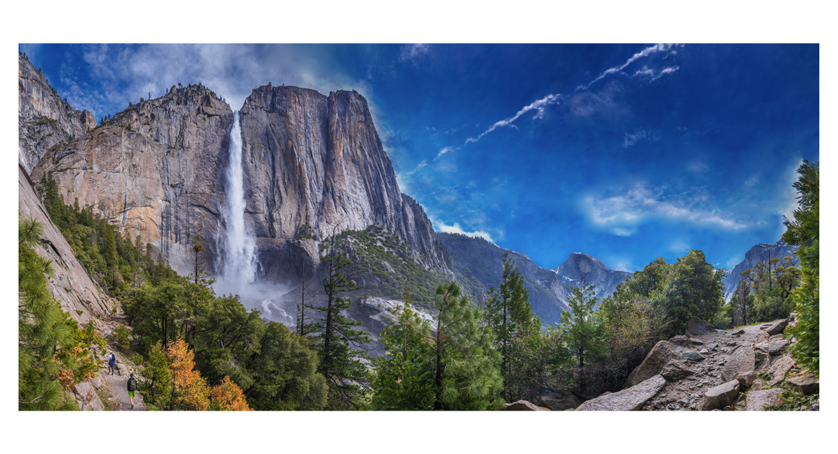
Upper Yosemite Fall, with Half Dome on the skyline, viewed from about the halfway point on the trail leading to Yosemite Point

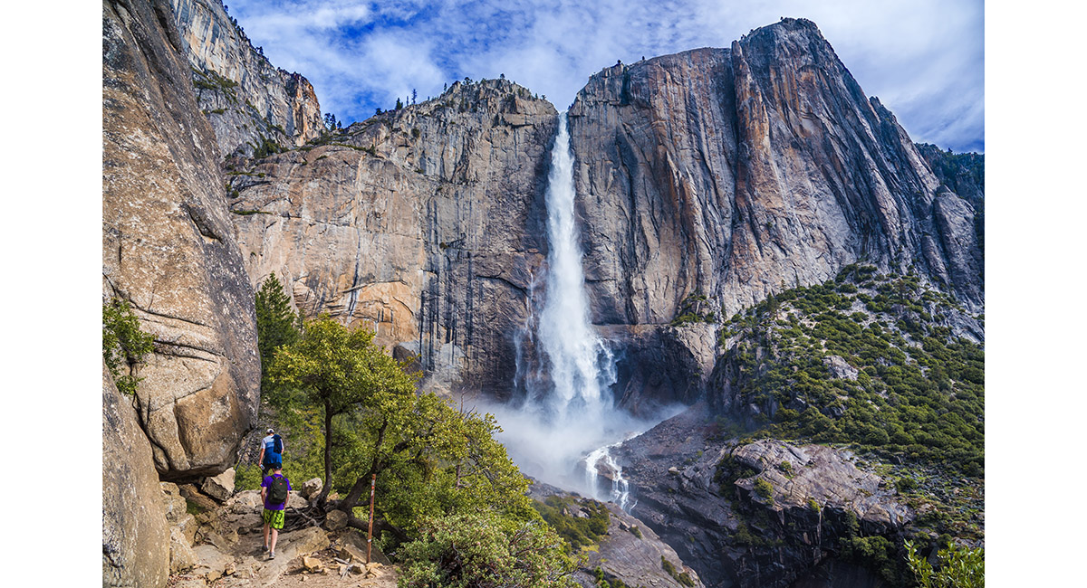
Upper Yosemite Fall, viewed from about the halfway point on the trail leading to Yosemite Point


A section of Upper Yosemite Fall, viewed from about the halfway point on the trail leading to Yosemite Point

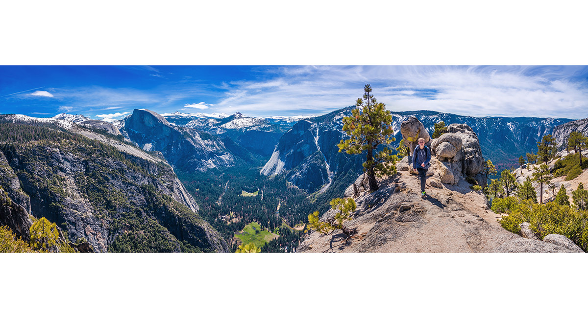
Half Dome, viewed from about the halfway point on the trail leading to Yosemite Point

Climbing behind Yosemite Fall towards the foot bridge crossing Yosemite creek, just above the Fall


A section of the massive, sheer wall to the west of the trail below Yosemite Creek

The footbridge (1,900m) across Yosemite Creek, with the jaws of death a little further down the creek at right

The jaws of death at the top of Yosemite Fall

Looking up Yosemite Creek beyond the foot bridge

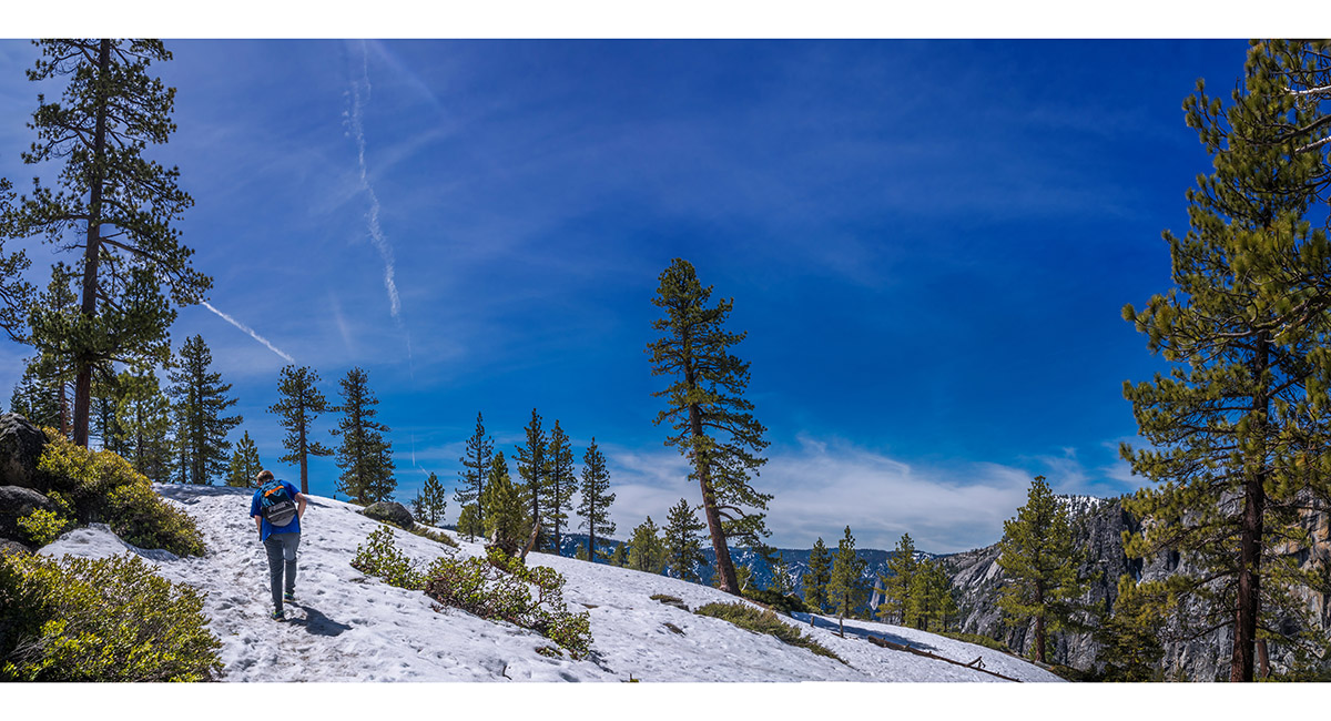
Plugging up through spring snow towards Yosemite Point

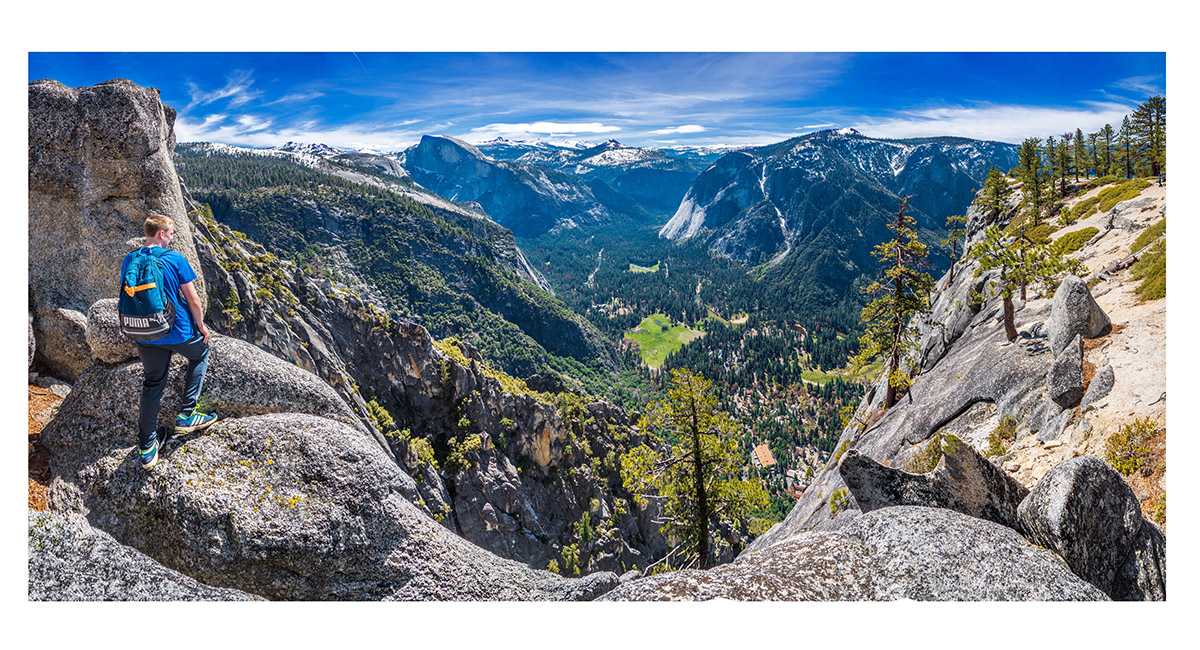
At Yosemite Point (2,114m), looking east to Half Dome and across to the southern valley wall

At Yosemite Point (2,114m), looking east to Half Dome and across to the southern valley wall

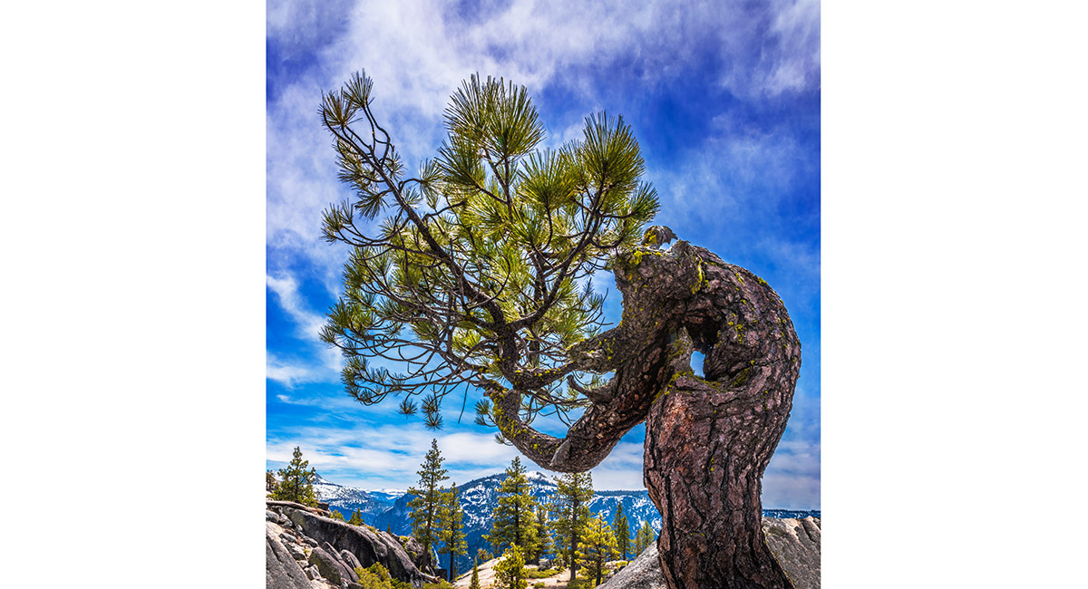
A stunted pine above Yosemite Fall

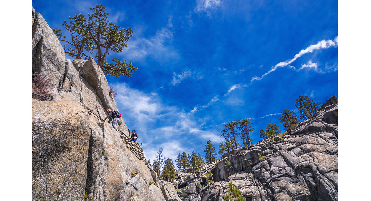
An exposed section of trail leading to the lookout directly beside Yosemite Fall

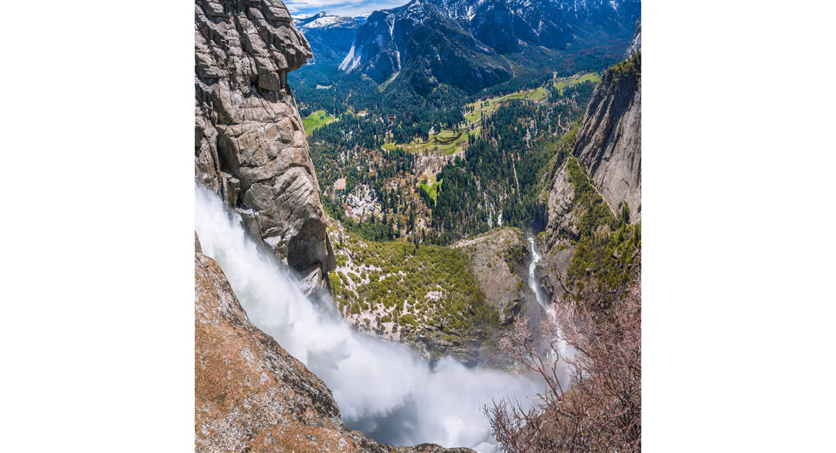
The view down Upper Yosemite Fall. The trail leading up from the valley floor is on the right

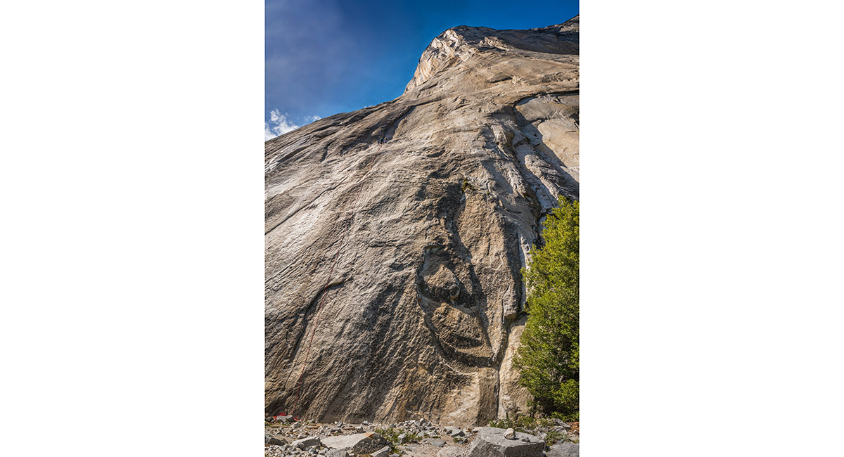
In the forest near El Capitan

In the forest, with El Capitan soaring above

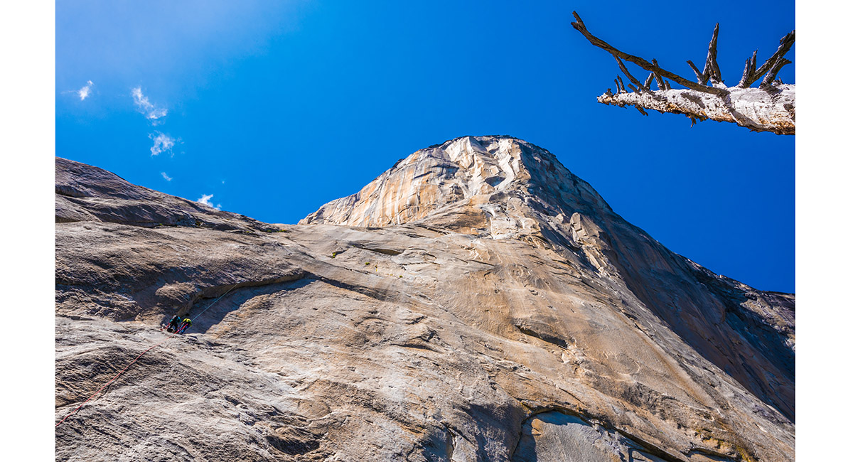
A view at the base of one of the near vertical routes up El Capitan

A view at the base of one of the near vertical routes up El Capitan

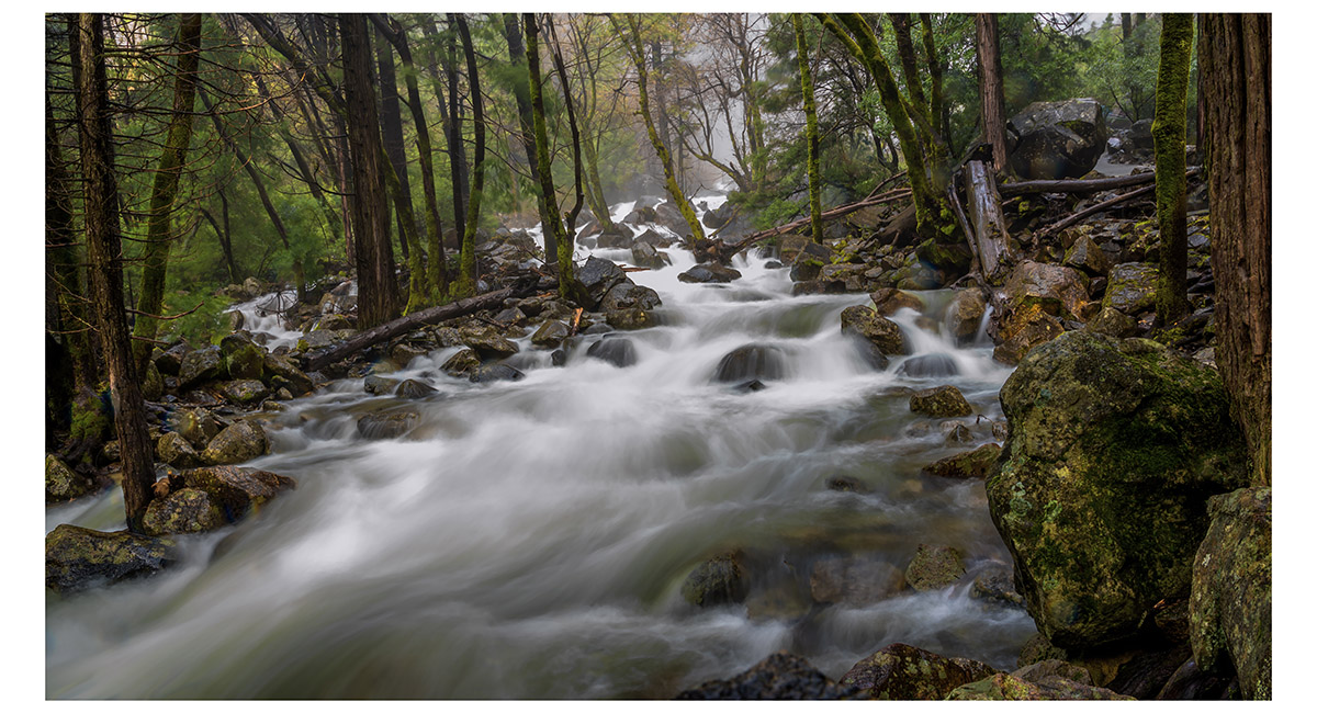
Royal Arch Creek

The view at dawn from Tunnel View (1,400m), looking east down Yosemite Valley to El Capitan (2,307m, left), Half Dome (2,693m, distant centre) and Bridalveil Fall (right of centre)

The view at dawn from Tunnel View (1,400m), looking east to Bridalveil Fall

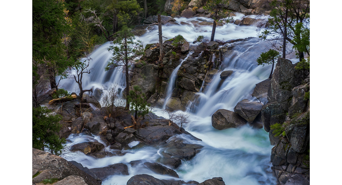
Cascade Creek Fall

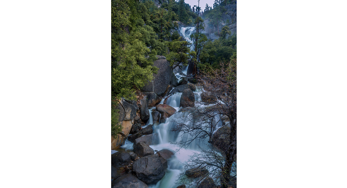
Cascade Creek Fall

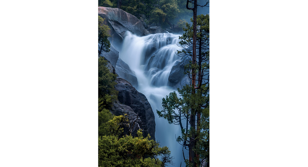
Cascade Creek Fall

Cascade Creek Fall


Cascade Creek Fall

Read about it – Two days at Yosemite Vertigo June 2017
To order a print or web resolution file of any image you see in this slide show, just right click the image, click “Copy Image URL” and paste in to the “Your message” box of our Contact Us form. Please also note, for each image, if you want a print or web resolution file. We will get back to you as soon as possible to confirm price and payment details.
Open Contact Us in a new window to paste Image URL(s) easily