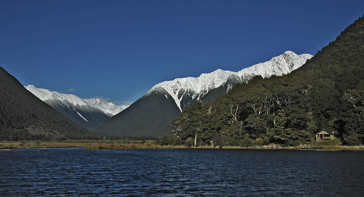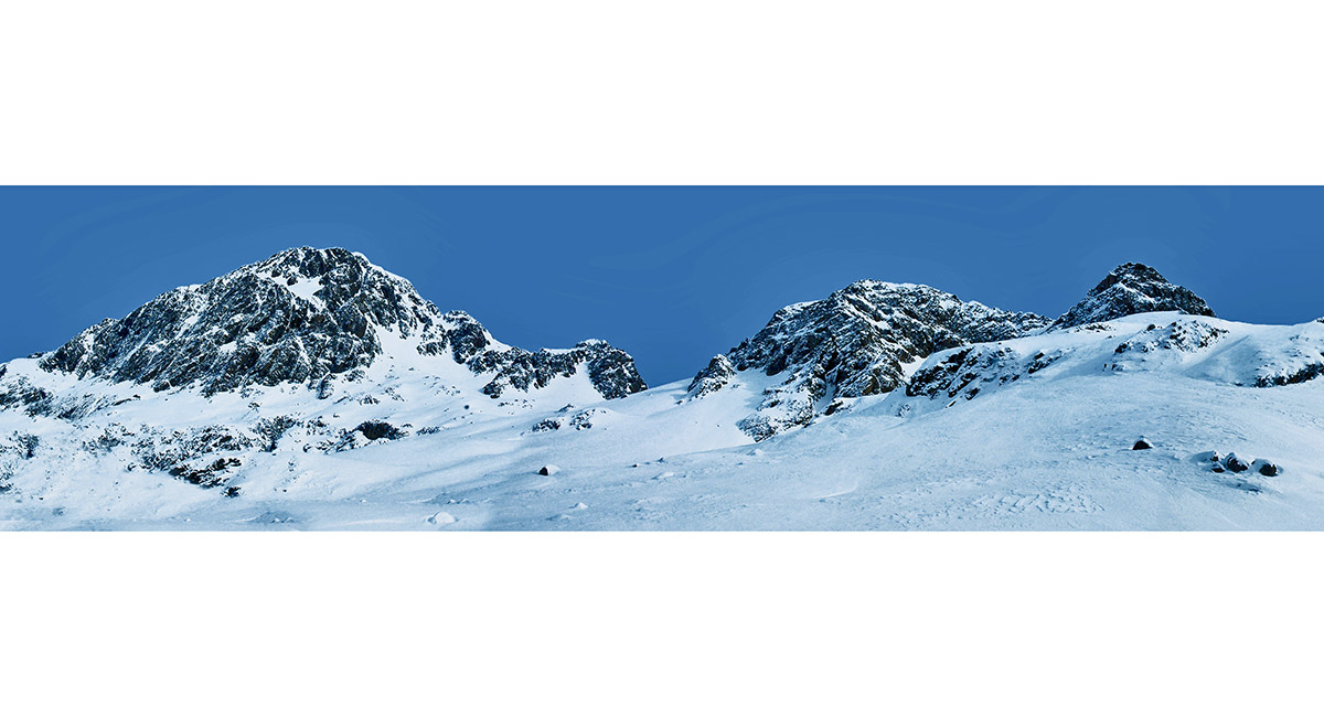
Looking toward the Angelus Ridge and Travers Range, from the approach up Lake Rotoiti


Cold Water Hut, at the south end of Lake Rotoiti


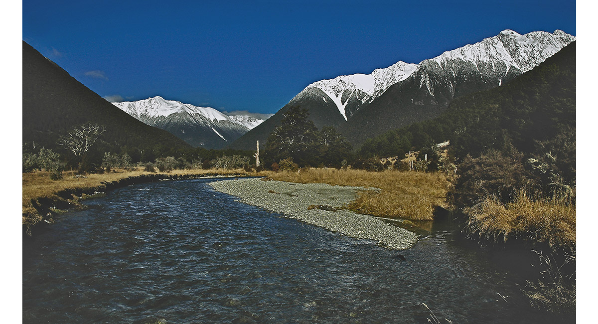
View south towards Mount Travers (2,338m), Mount Cupola (2,260m) and Angelus Ridge


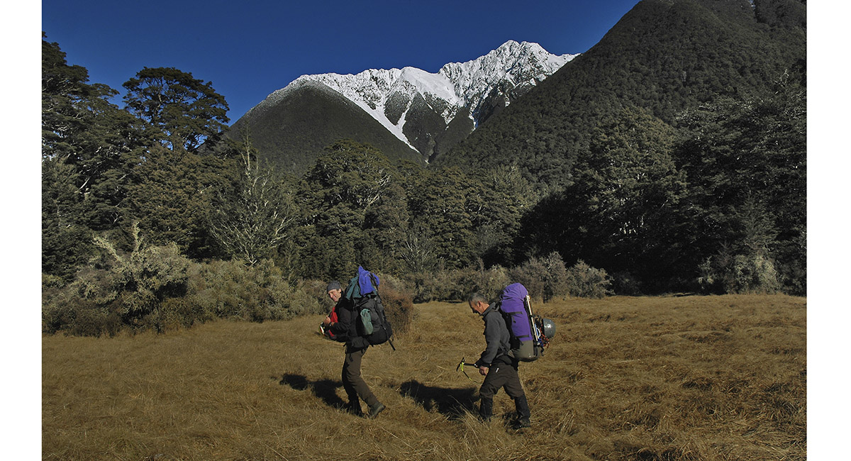
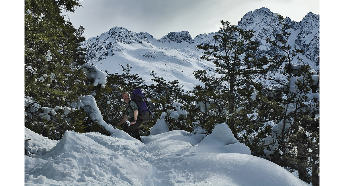
Heading south to John Tait Hut


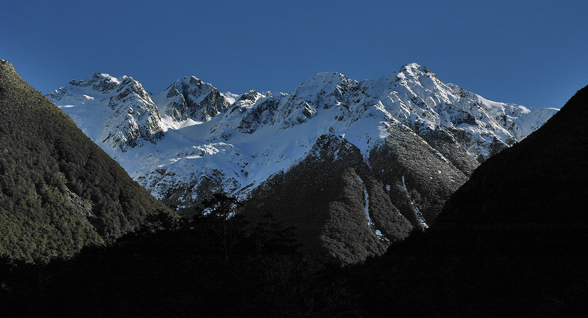
Peaks west of the trail


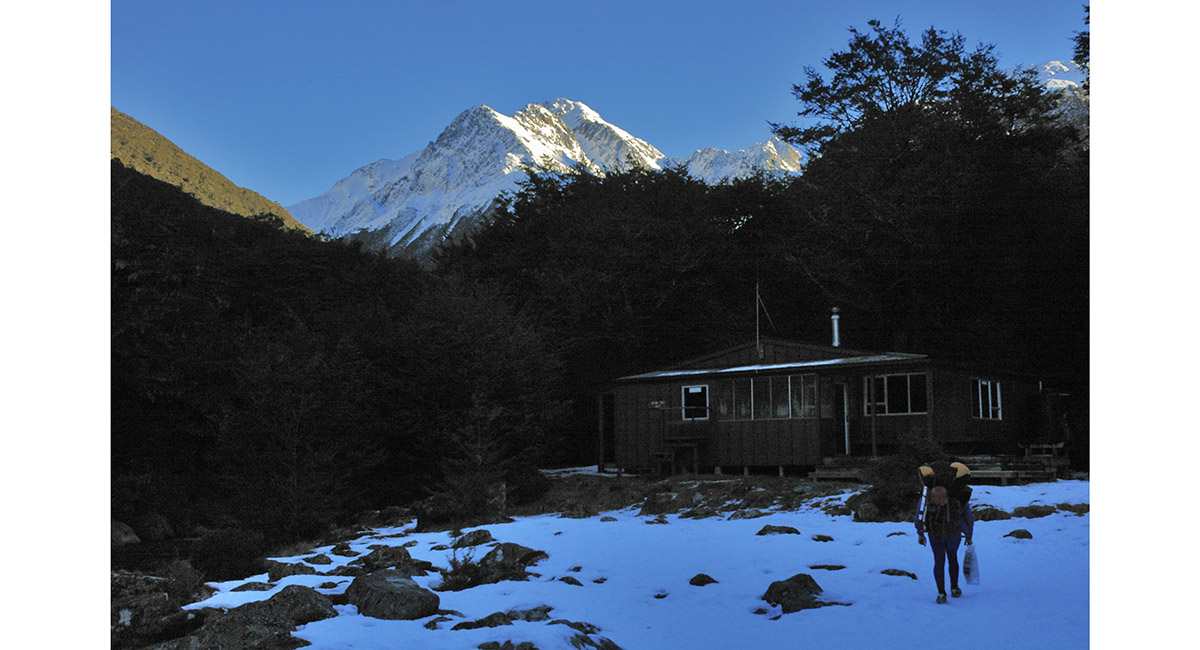
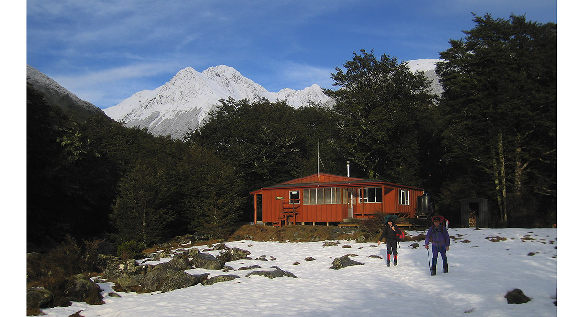
John Tait Hut (800m), with Mount Travers (2,338m) behind


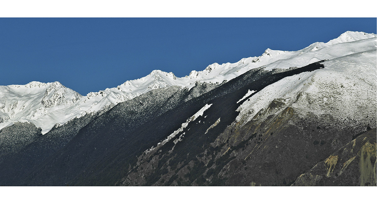
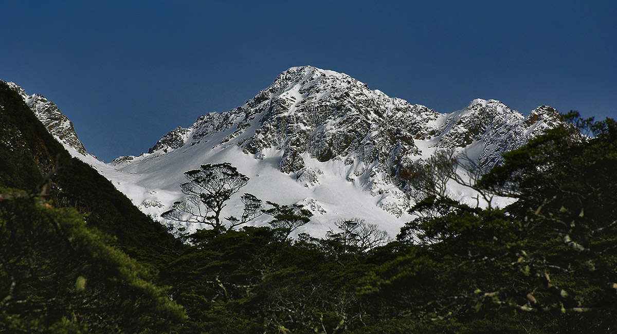
Part of the Travers Range, viewed on the approach to Cupola Hut


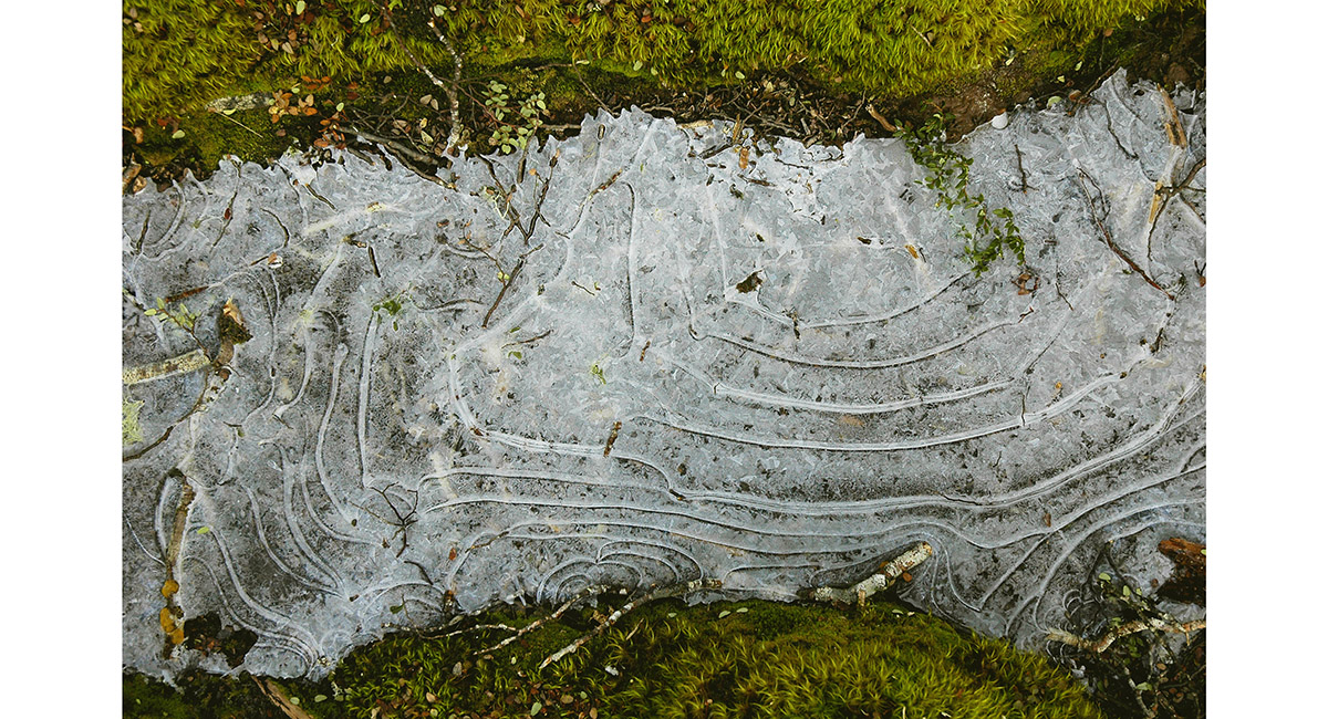
A frozen puddle on the trail


Mount Hopeless is right, viewed on the ascent to Cupola Hut


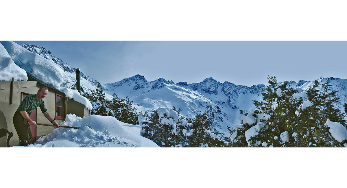
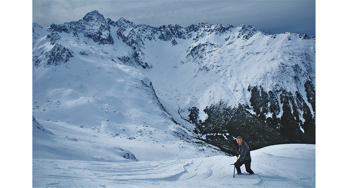
Digging our way in to Cupola Hut (1,380m). Mount Hopeless is on the centre skyline. Mount Cupola left, out of the picture, above the hut


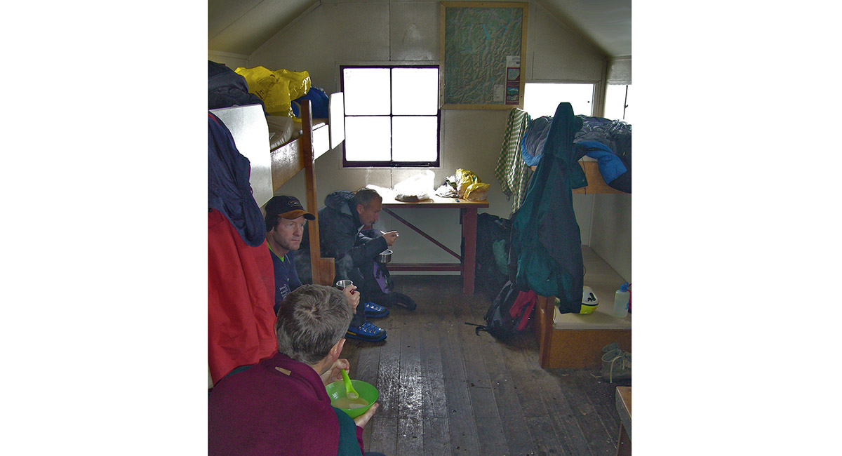
Keeping warm at Cupola Hut


View west to the Travers Range and Mount Cupola (left), directly above Cupola Hut


Above Cupola Hut, looking north to Mount Hopeless. The Hopeless Couloir is easy to spot, as is the exposure from the cliffs below it


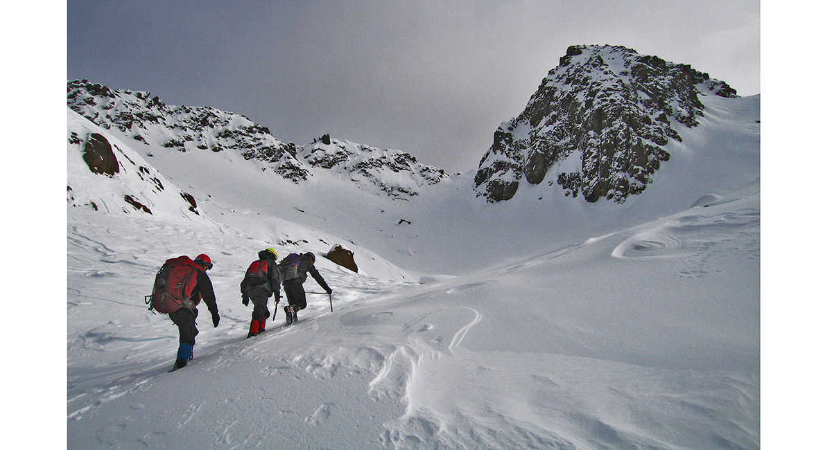
Heading up to the Travers Range, to the crag above right - a point at 1,940m, between Mounts Cupola and Hopeless


Getting closer to out objective


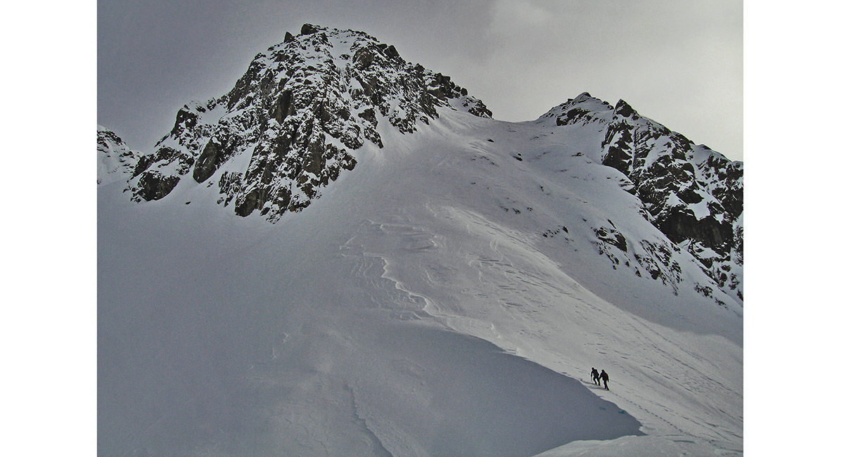
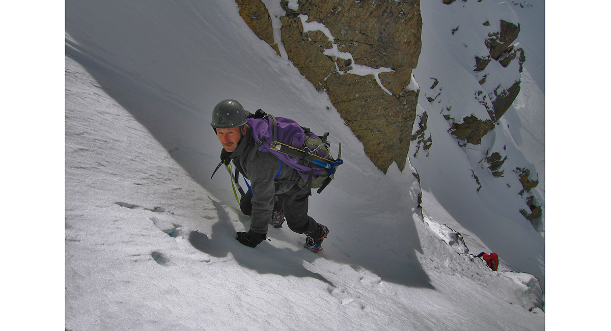
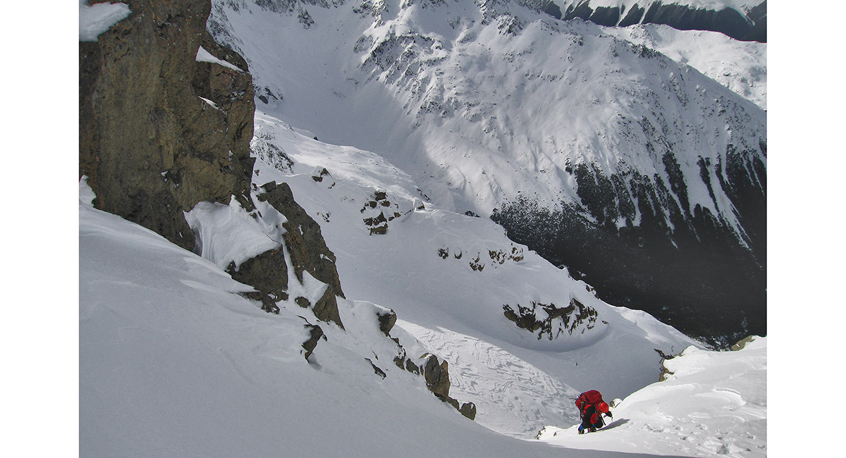
A snow chute lead up to the summit of the crag, which became steep and icy below the top


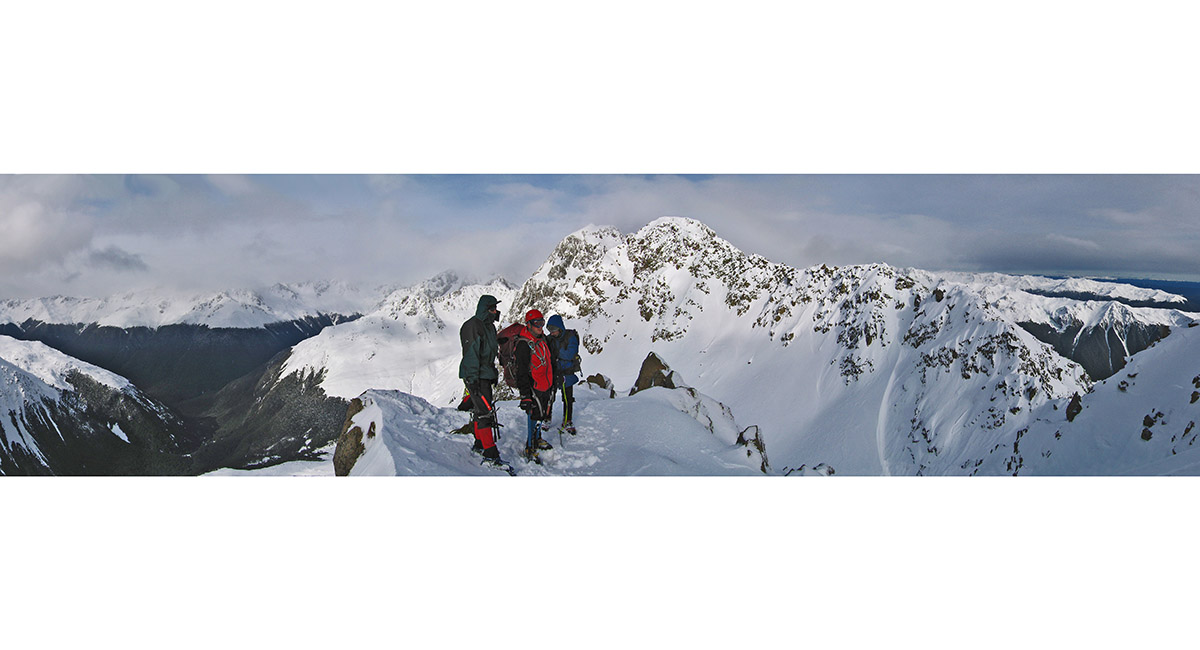
On the Travers Range at 1,940m, looking south to a high point at 2,120m, with Mount Cupola (2,260m) behind


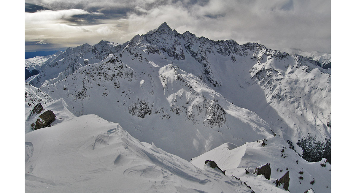
View north to Mount Hopeless


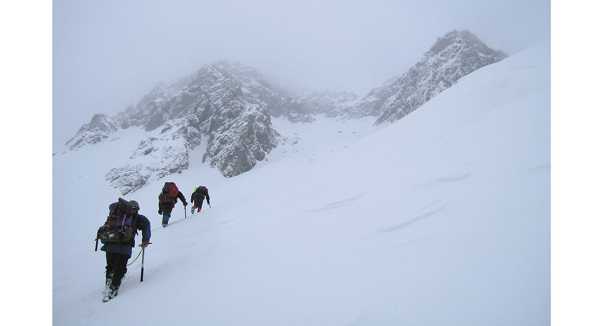
Heading to Mount Cupola, in deep snow and deteriorating weather


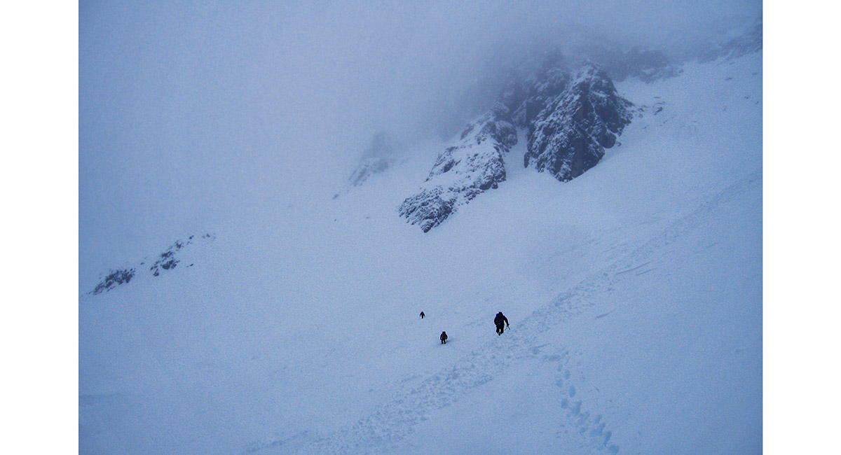
Crossing avalanche debris


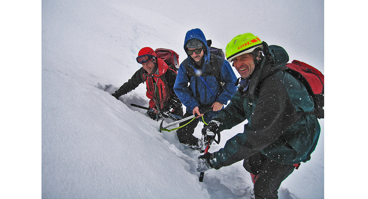
Turn around point - all we could do was laugh


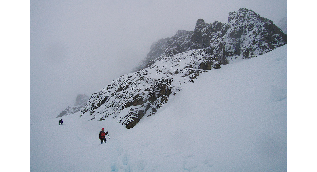
Returning to Cupola Hut


Heading out from John Tait Hut, the plan being to beat the impending weather bomb back to civilisation


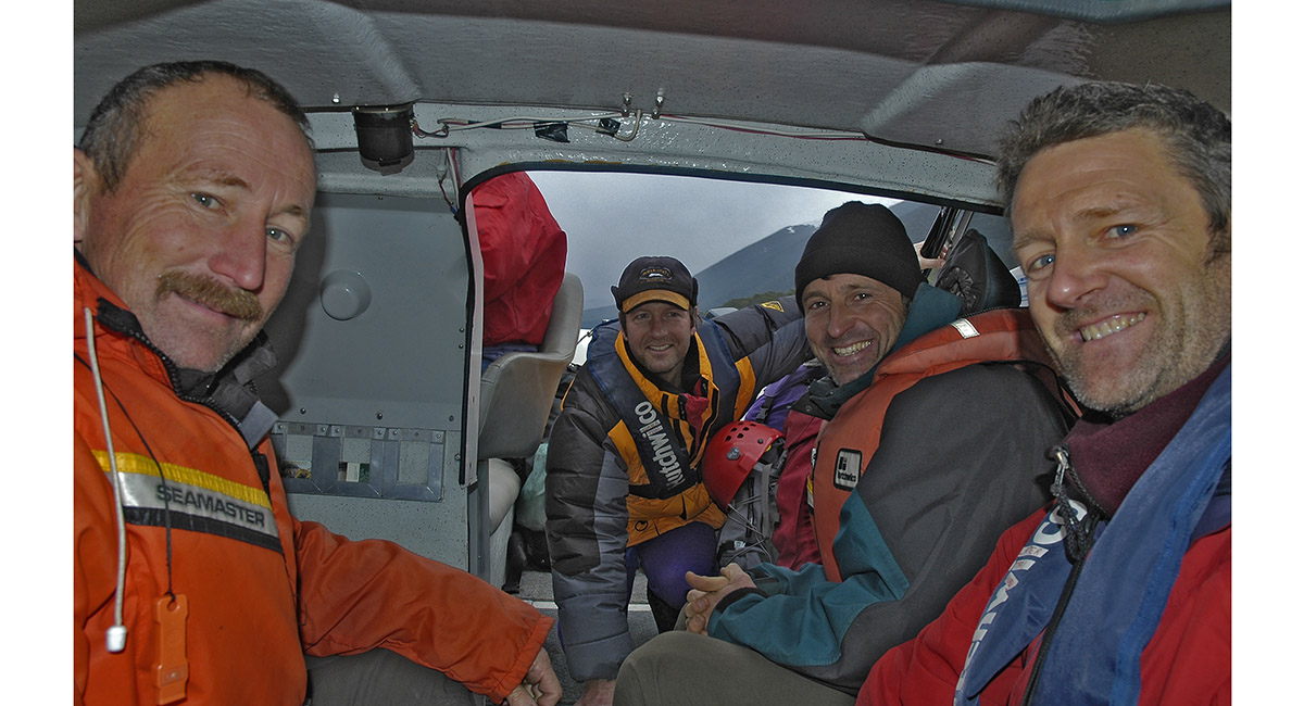
Pleased to be exiting the water taxi at St Arnaud, as the lake became increasing choppy

