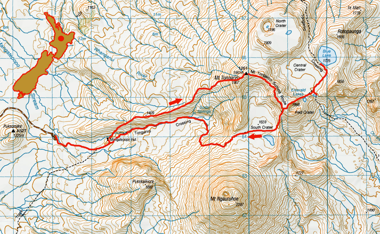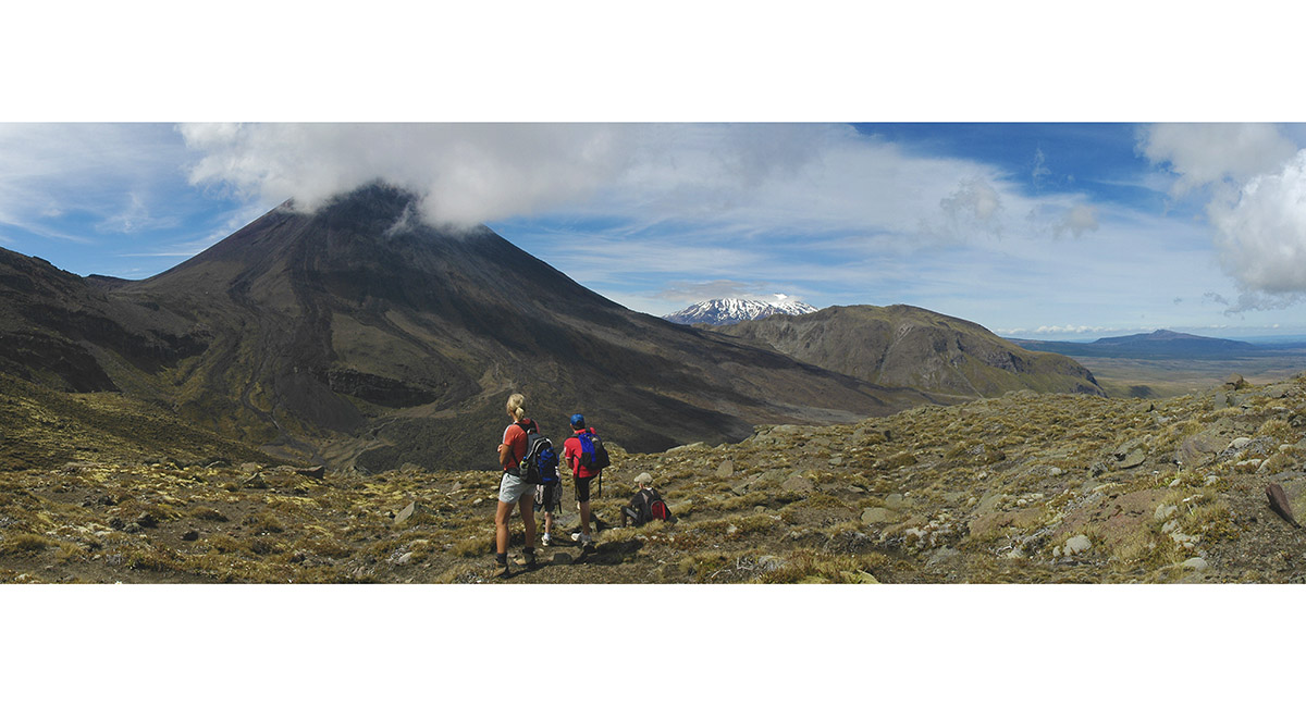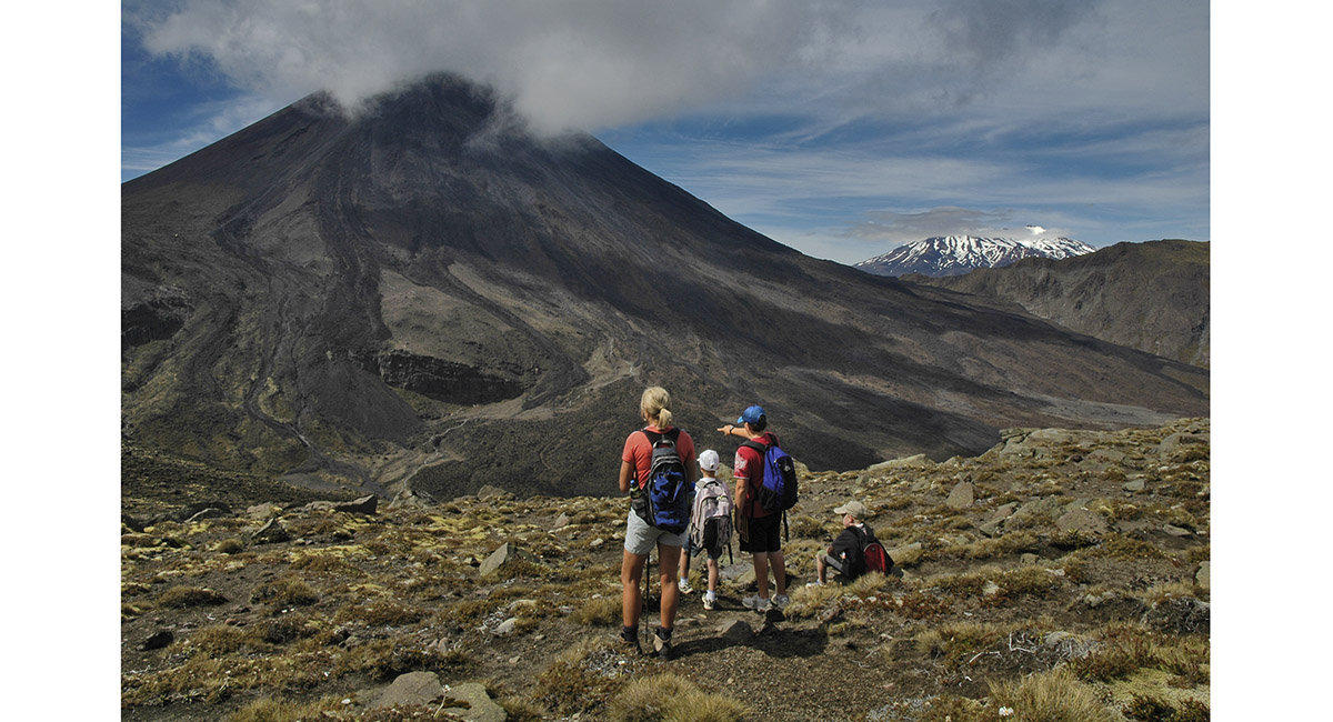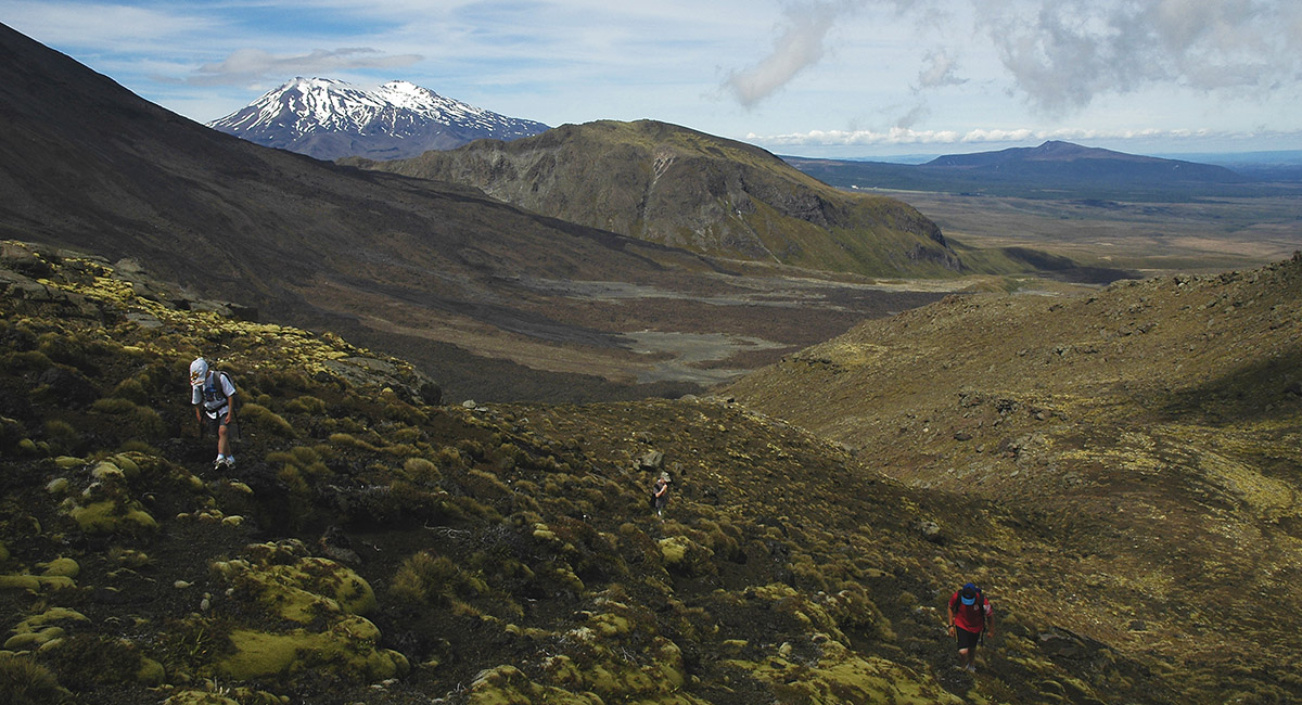
Just across the Mangatepopo Stream and on to the ridge leading to the summit of Mount Tongariro. Mangatepopo Hut (1,190m) is below and Mount Ruapehu behind


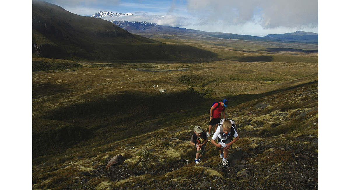
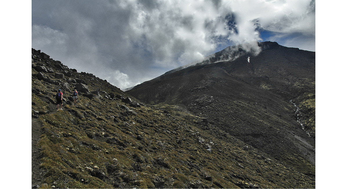
Mount Tongariro is ahead in cloud


Mount Tongariro ahead


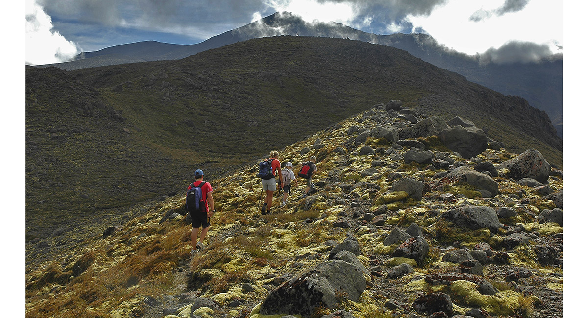
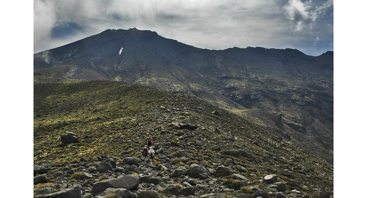
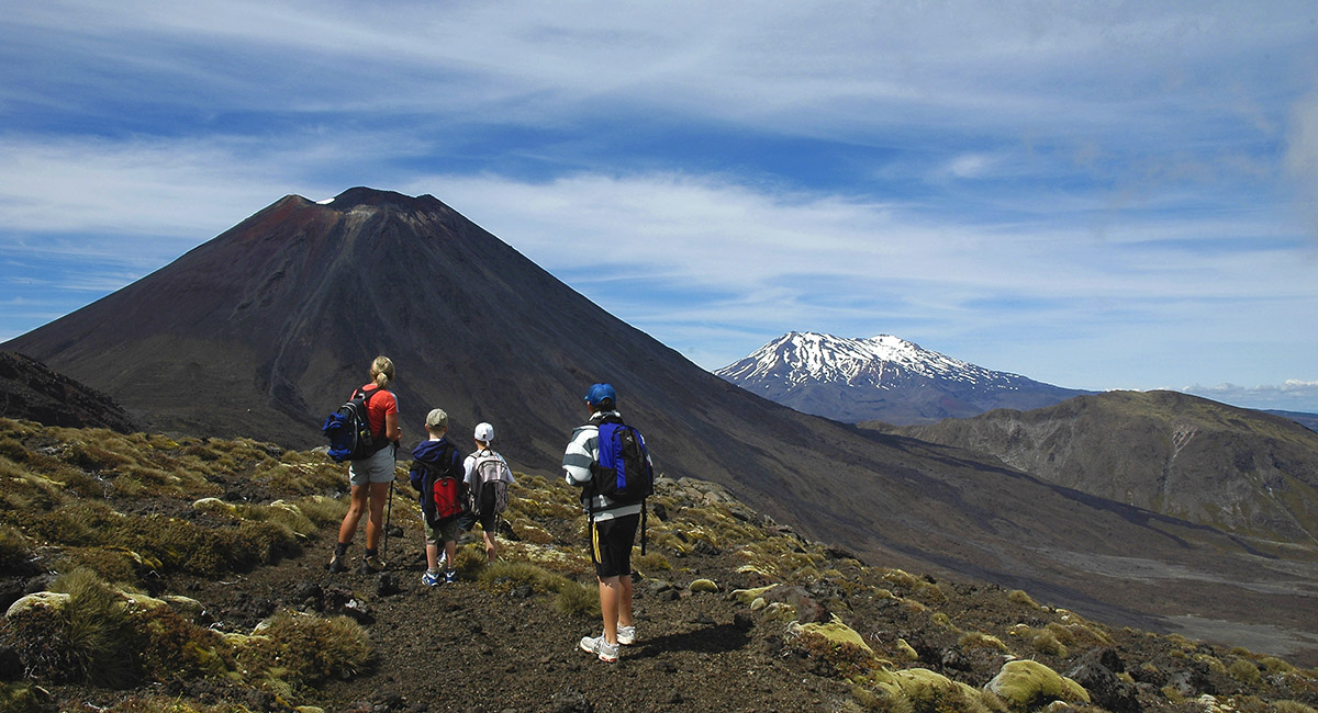
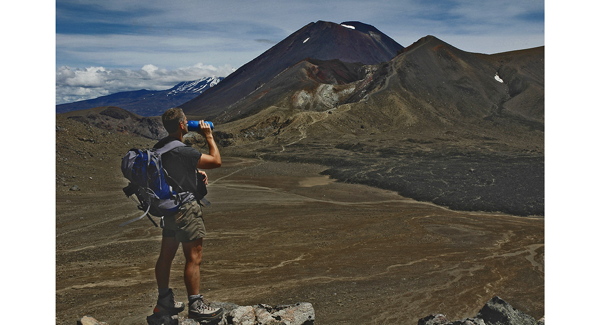
Mount Ngauruhoe


Mount Ngauruhoe


Mount Tongariro, from about 1,400m on the ridge


View south west to Mount Ruapehu


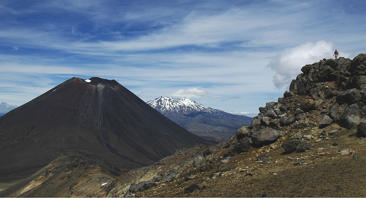
Mounts Ngauruhoe and Ruapehu, from about 1,600m


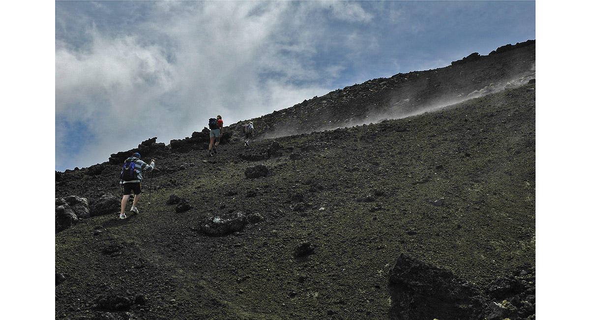
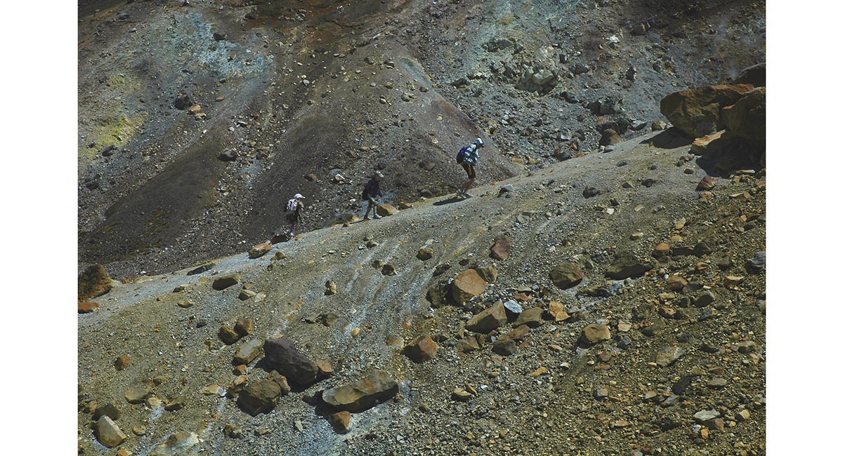
Volcanic activity under foot, as the gradient steepens on Tongariro


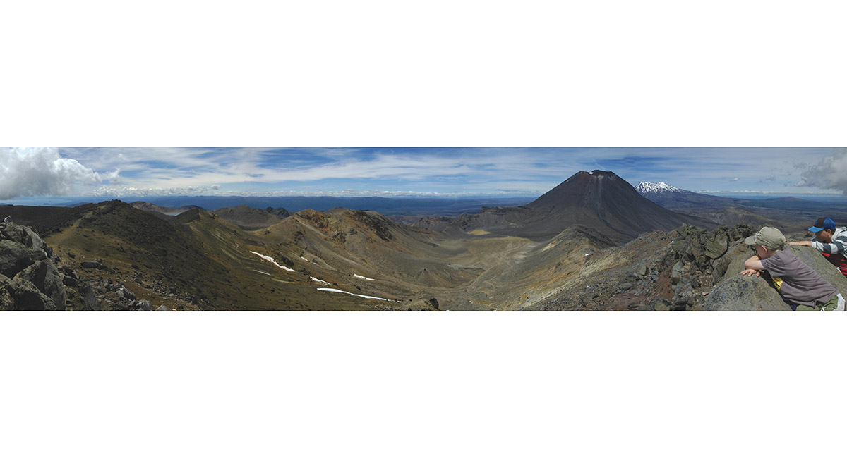
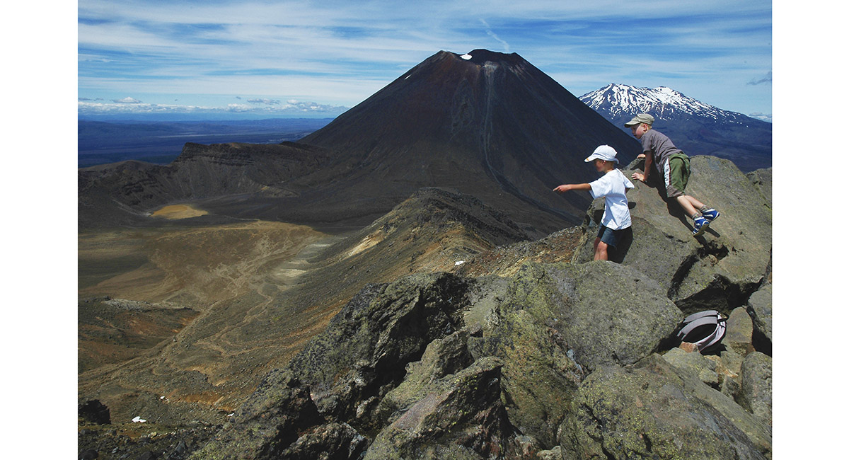
Tongariro summit view


Tongariro summit (1,967m) view of Mounts Ngauruhoe (2,287m) and Ruapehu (2,797m)


Departing the summit of Mount Tongariro, eastward to join the Tongariro Crossing route


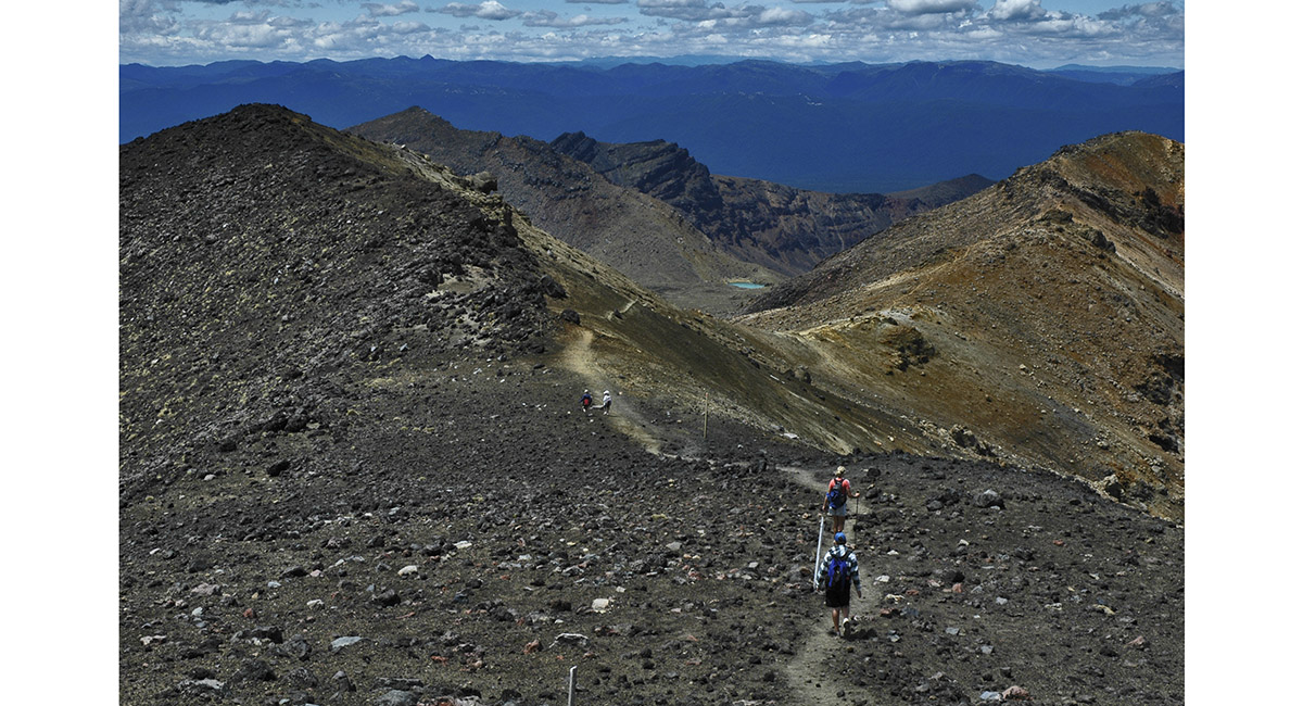
Heading towards the Emerald Lakes


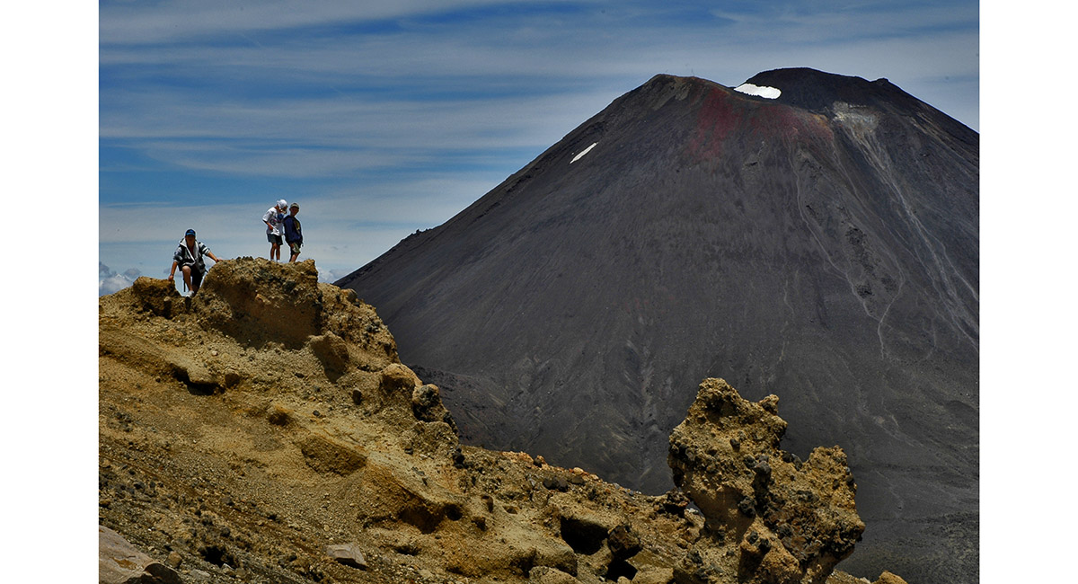
Ngauruhoe's summit, from about 1,850m


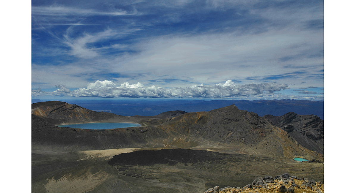
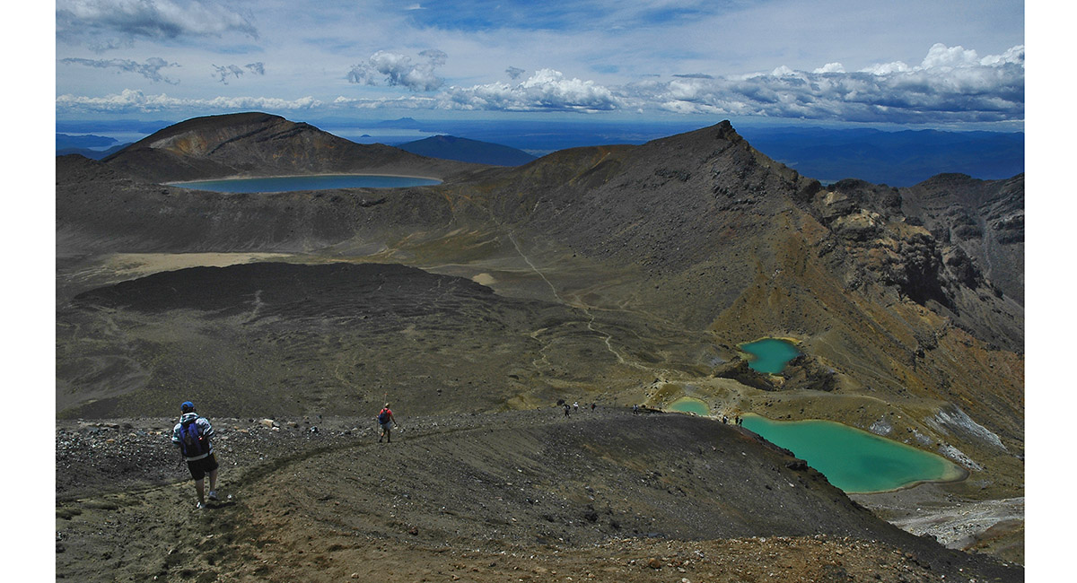
The Blue Lake (1,725m, left) and Emerald Lakes (1,700m, right)


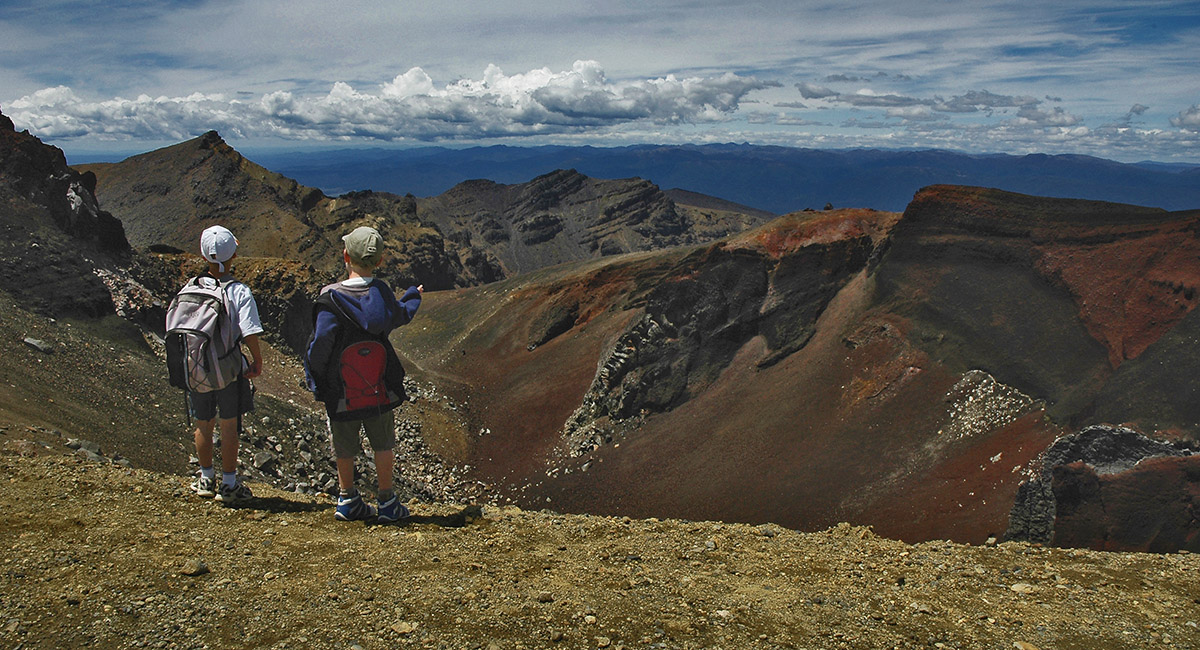
View in to the Red Crater


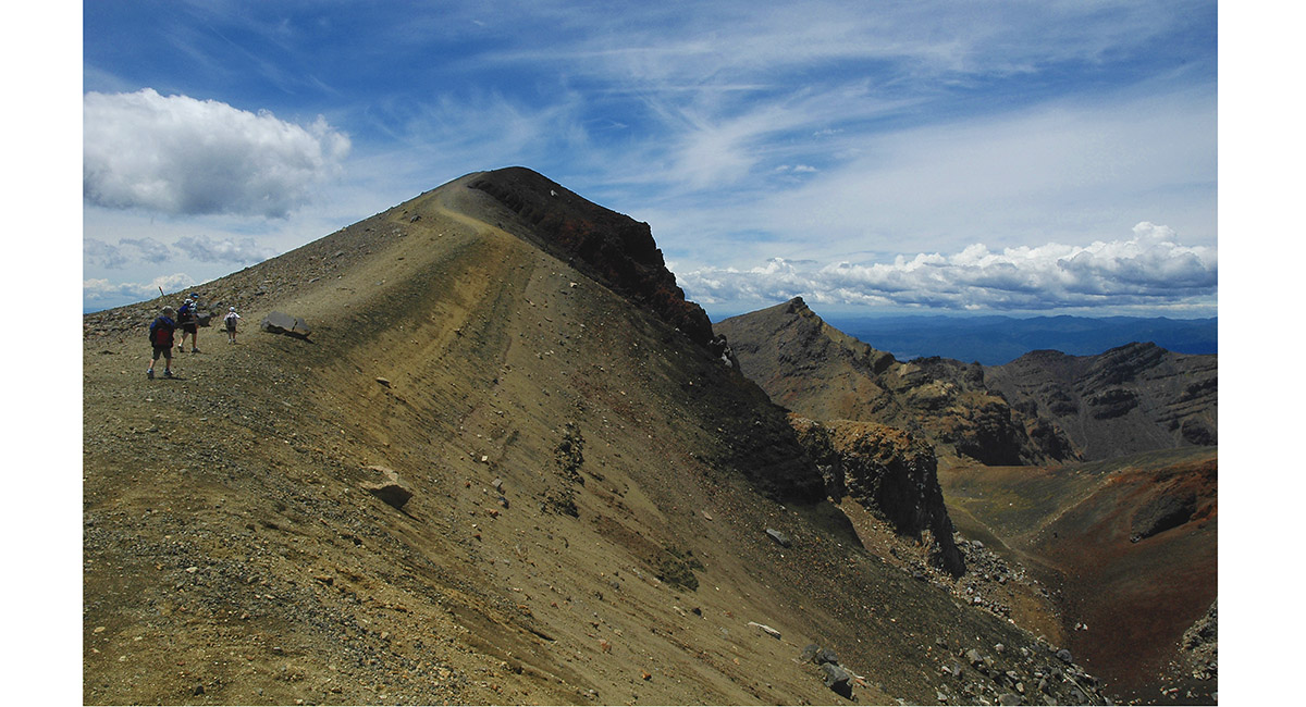
Heading to the high point of the Red Crater rim (1,868m)


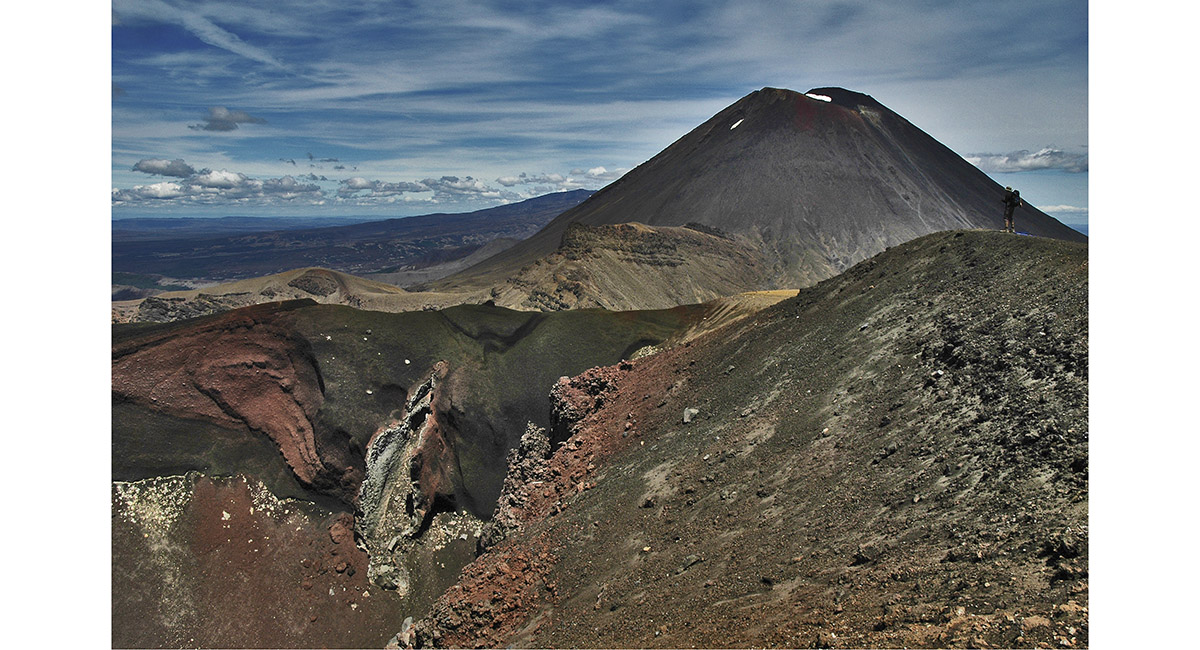
View along the Red Crater, to Mount Ngauruhoe


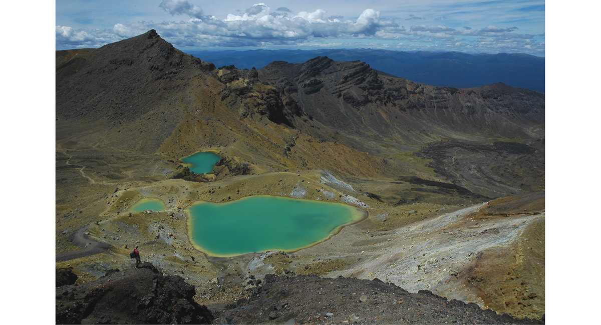
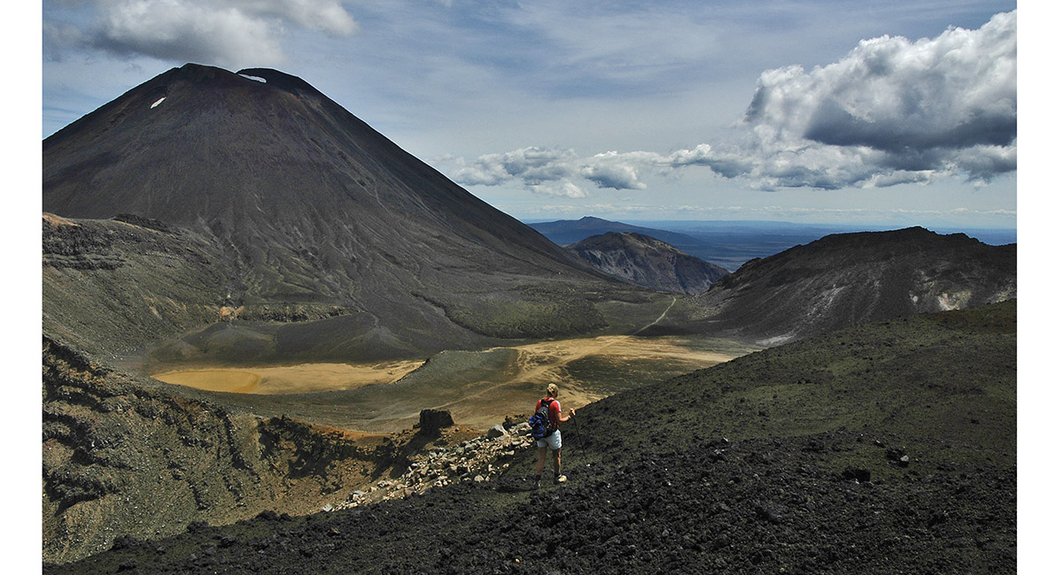
View from the Red Crater rim, north east to the Emerald Lakes and the Blue Lake


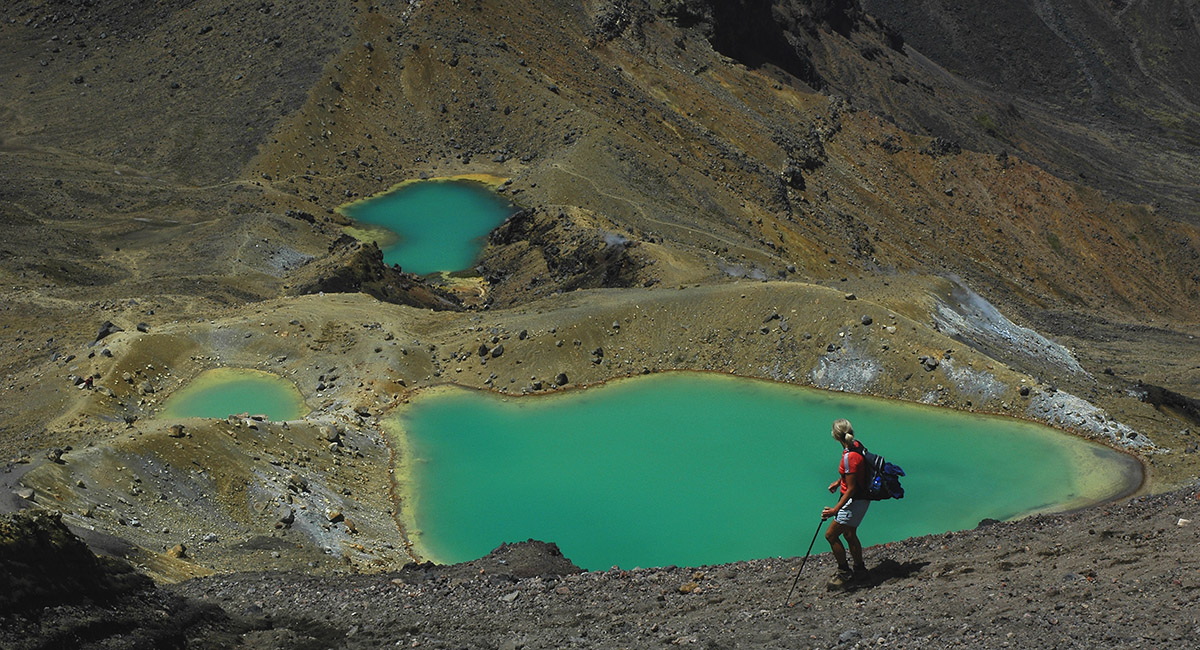
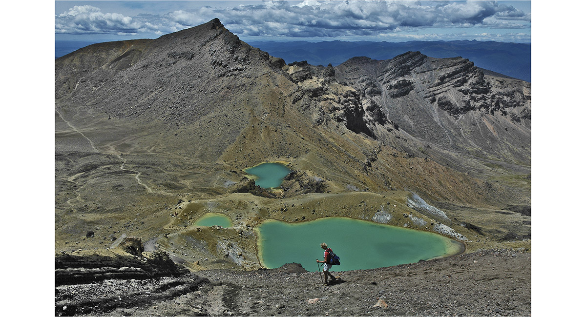
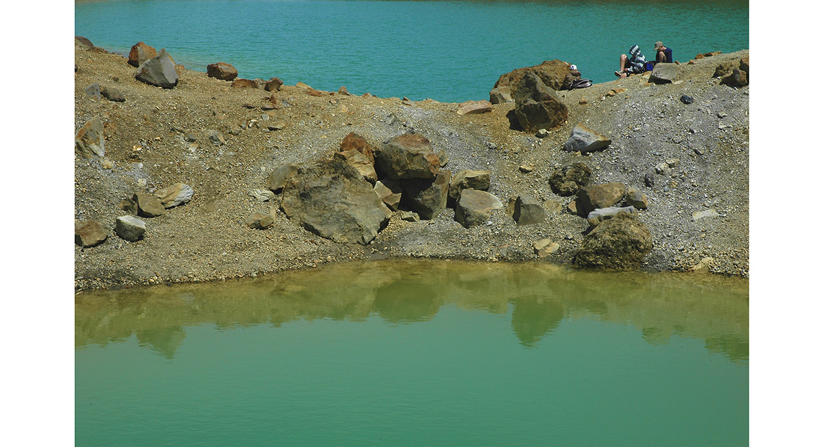
The Emerald Lakes


The Emerald Lakes and the 1,850m high point east of the Tongariro Crossing route


The Emerald Lakes


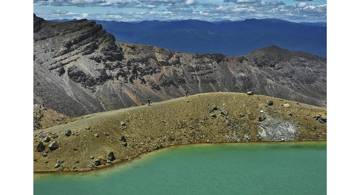
View south east, across the Emerald Lakes


At the south end of the Blue Lake, looking back to the Red Crater and Mount Ngaururhoe. Part of Ruapehu is left of Ngauruhoe


At the south end of the Blue Lake, looking back to the Red Crater and Mount Ngaururhoe. Part of Ruapehu is left of Ngauruhoe


The Emerald Lakes


Climbing back up the side of the Red Crater


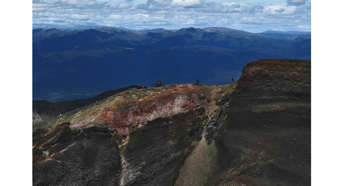
People on the southern rim of the Red Crater


View south, below the Red Crater, across the South Crater

