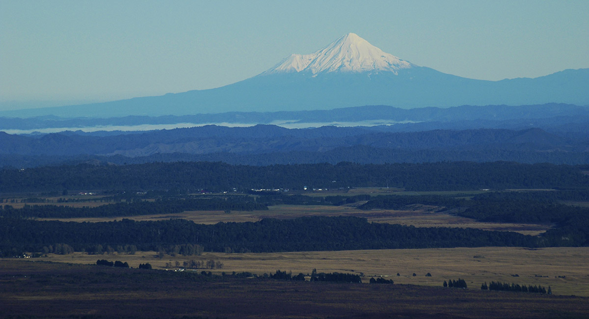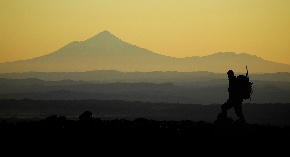
Mount Taranaki and the Pouakais, from the southern part of the Tongariro Crossing route, at dawn


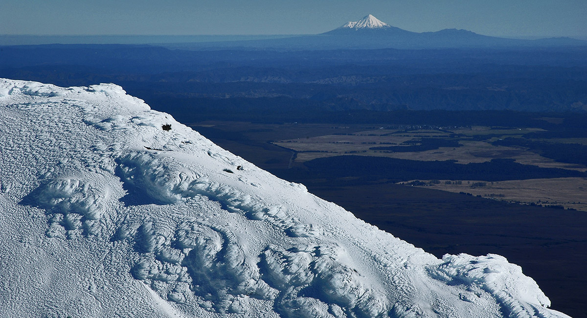
Mount Taranaki (2,518m)


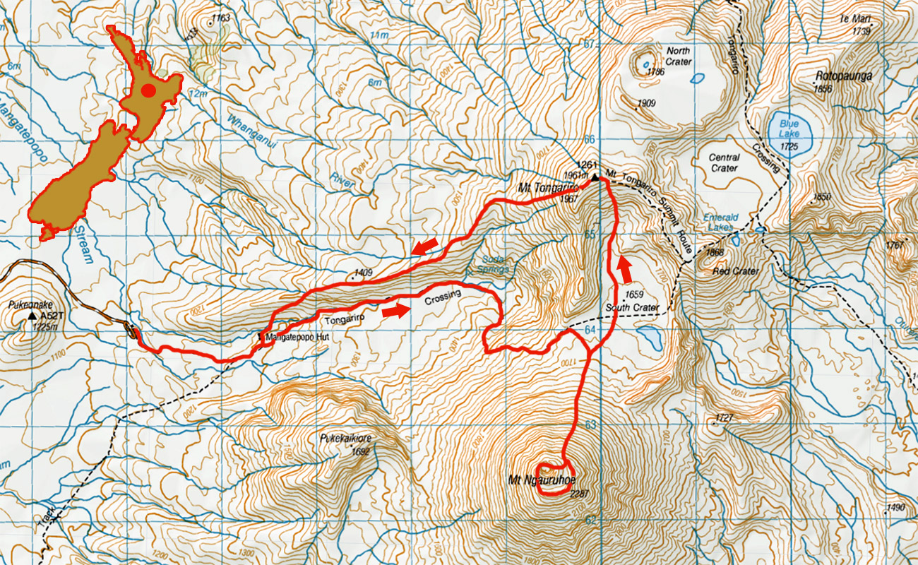
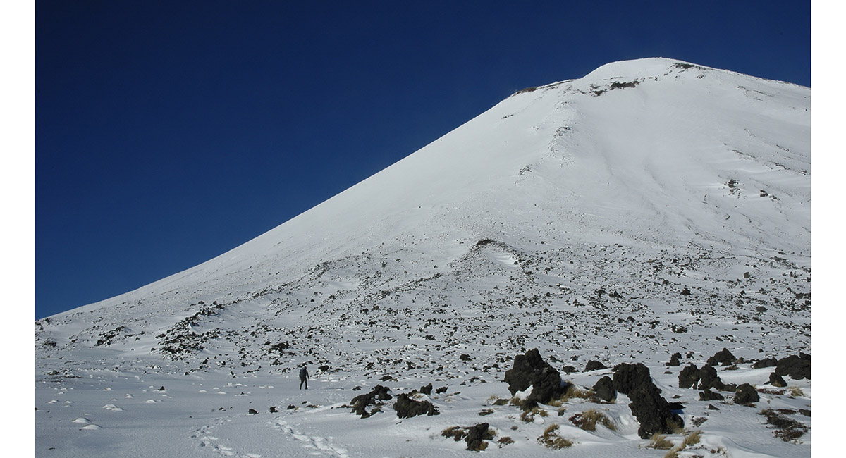
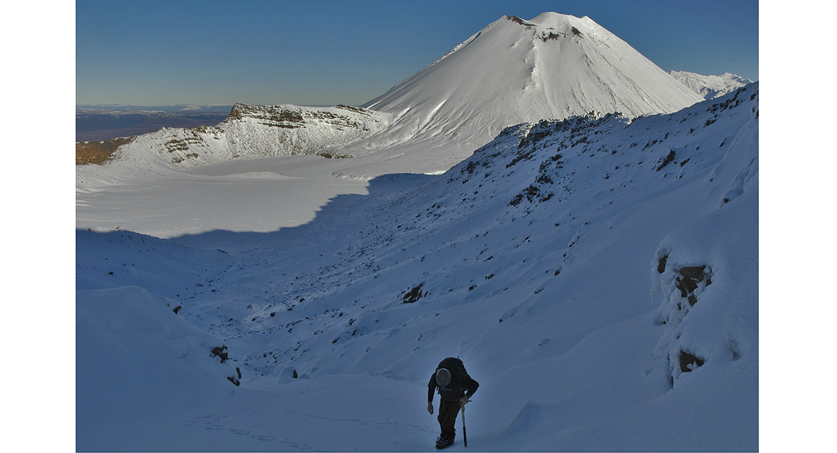
At the South Crater (1,659m), looking up the route to the summit of Mount Ngauruhoe (2,287m)


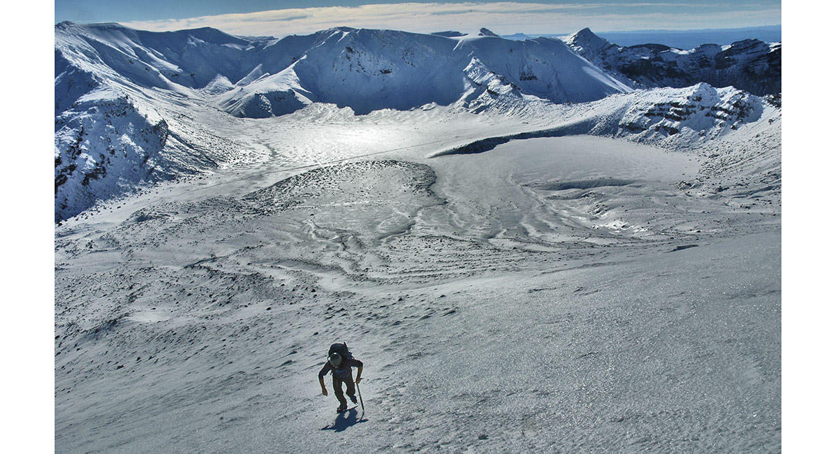
View north east, at about 1,750m, across the South Crater


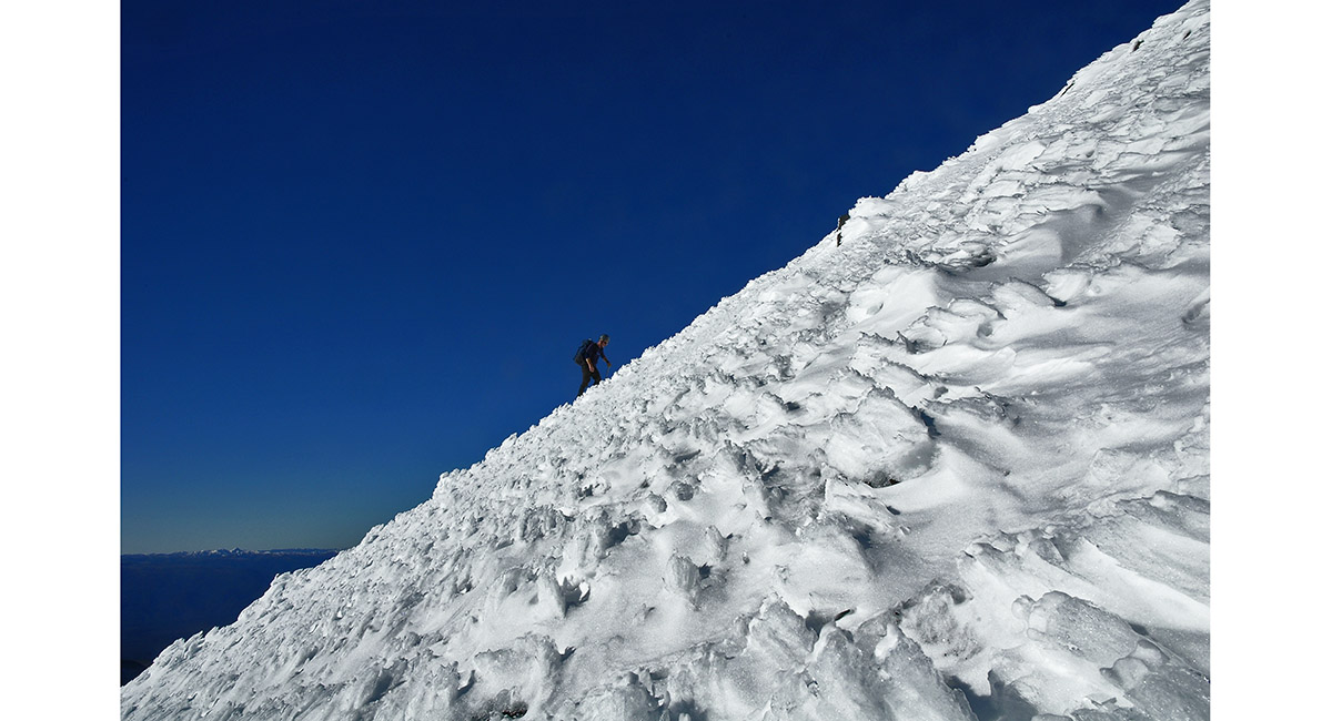
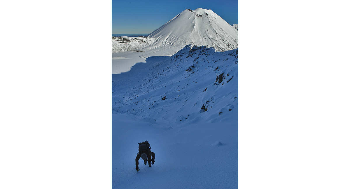
The gradient of Mount Ngauruhoe, on the north side


View from Ngauruhoe's crater rim to Mount Taranaki


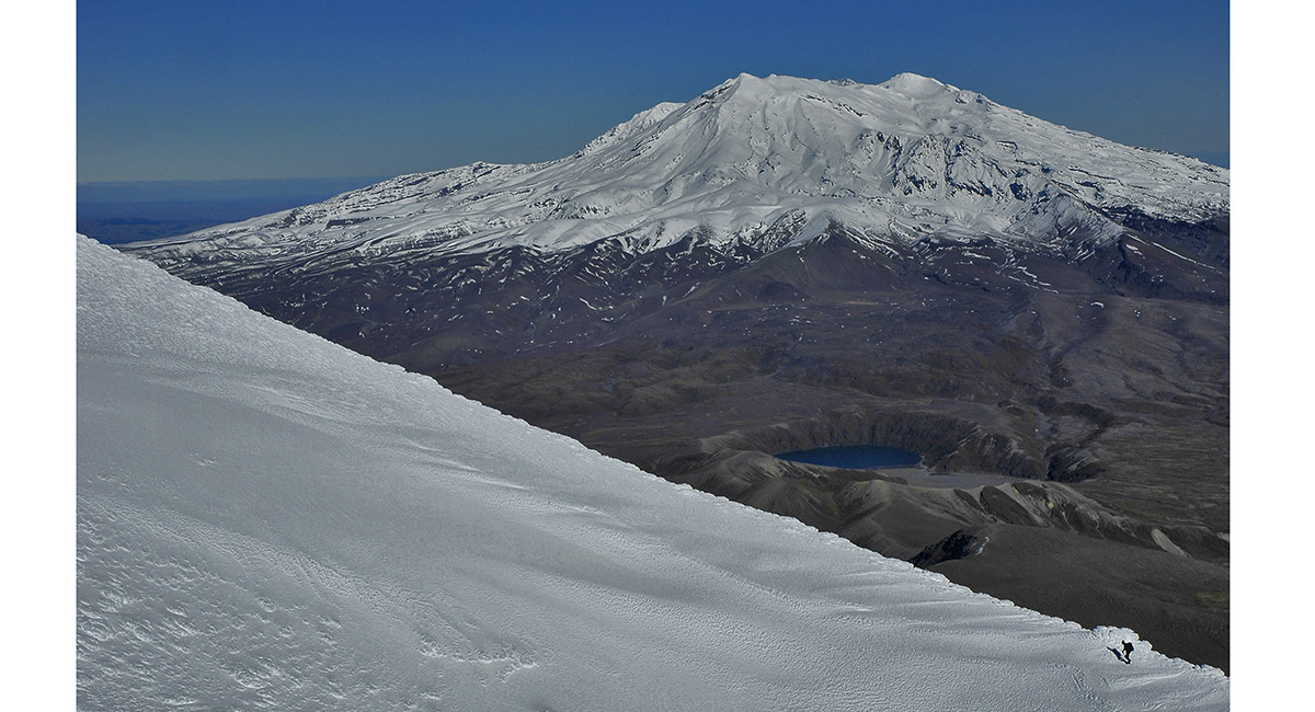
View from the northern crater rim, into the crater and south west to Mount Ruapehu (2,797m, right)


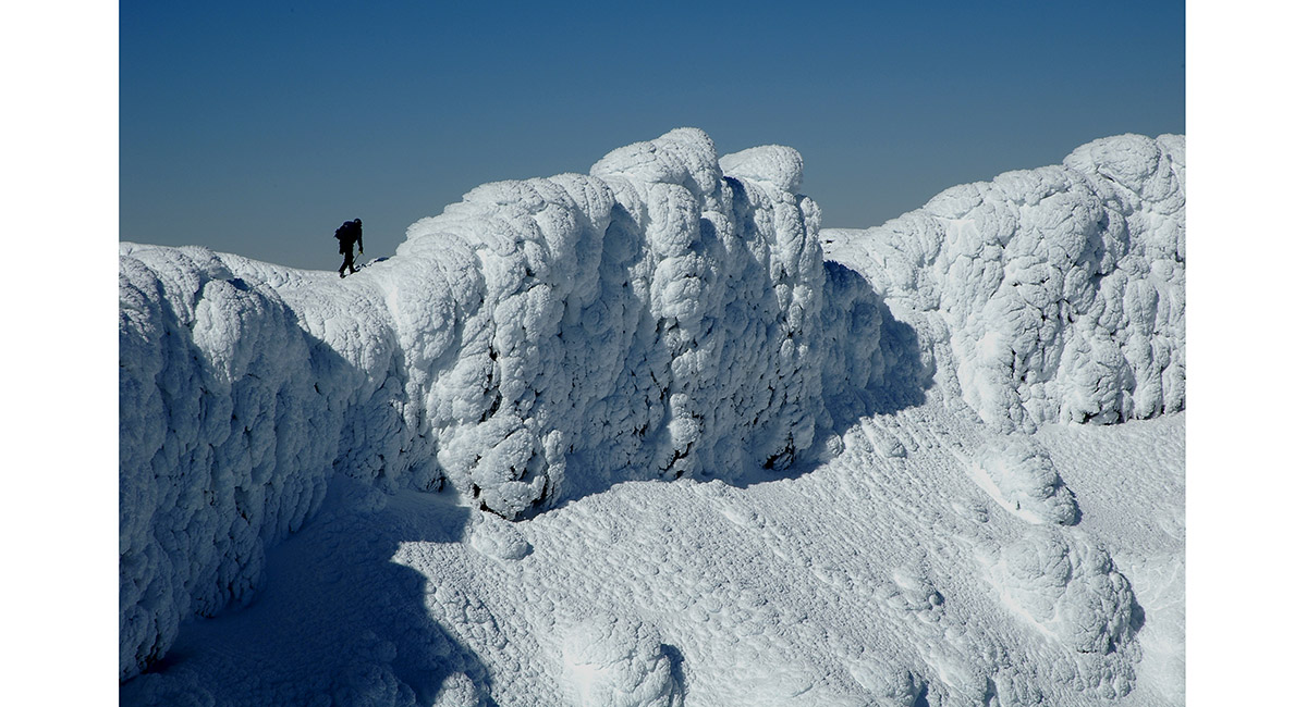
Nearing the highest point of the crater rim (2,287m)


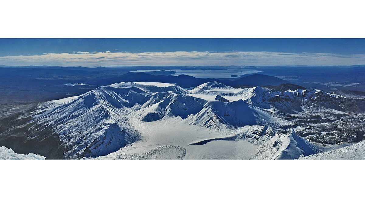
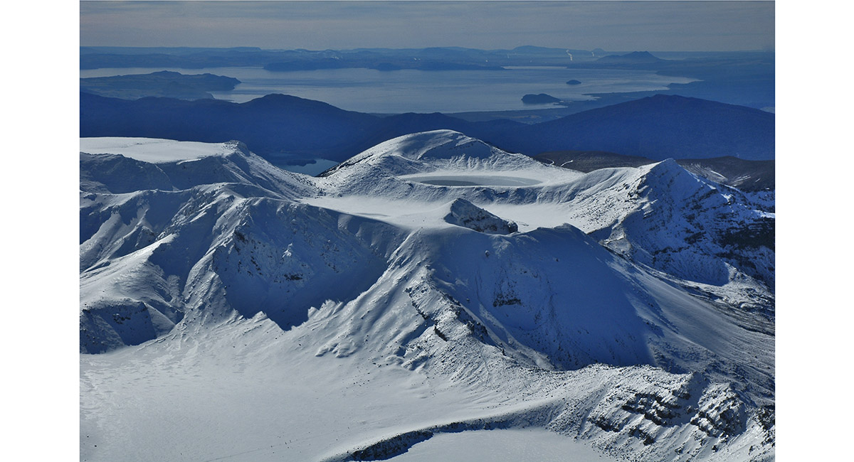
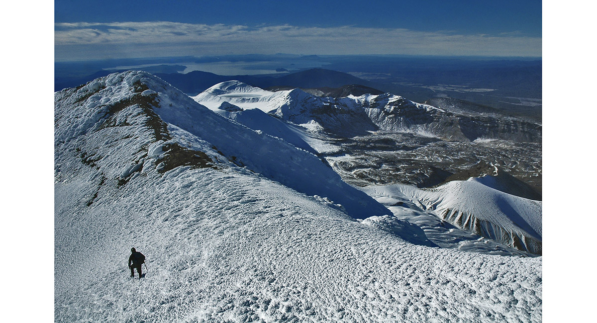
Summit view north east. The South Crater is in the foreground, Mount Tongariro at left, the Blue Lake right of centre and Lake Taupo beyond


The Blue Lake and Lake Taupo


Skirting the crater rim in a clockwise direction


One of the Tama Lakes and Mount Ruapehu


Summit view north east


View from beneath Mount Tongariro, looking back across the South Crater to Mount Ngauruhoe


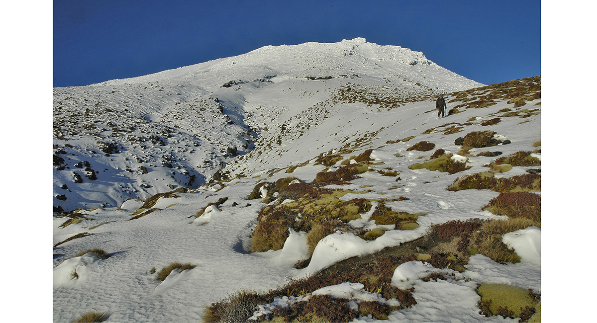
Climbing Mount Tongariro's south face


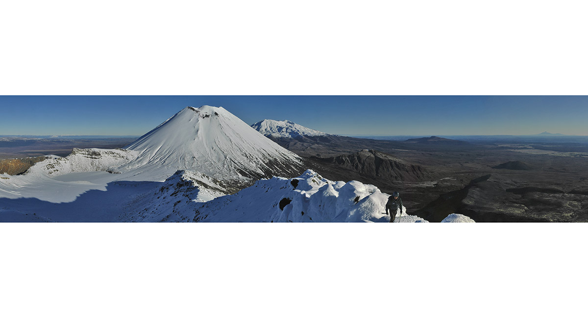
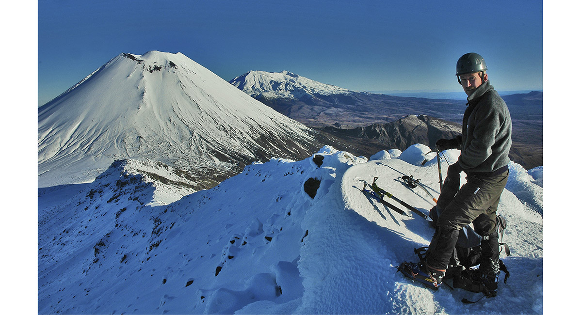
On the summit of Mount Tongariro (1,967m), with Mount Ngauruhoe (2,287m) and Mount Ruapehu (2,797m) behind. Mount Taranaki (2,518m) is also far right on the skyline


On the summit of Mount Tongariro (1,967m)


Looking back to the summit of Mount Tongariro, on the ridge descent to Mangatepopo Hut


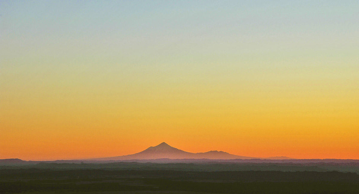
Mount Taranaki and the Pouakais, from below the summit of Mount Tongariro, at sunset


Mount Taranaki and the Pouakais, from below the summit of Mount Tongariro, at sunset


Mount Taranaki and the Pouakais, from below the summit of Mount Tongariro, at sunset

